Conduit Field
Wood, Forest in Hertfordshire Welwyn Hatfield
England
Conduit Field

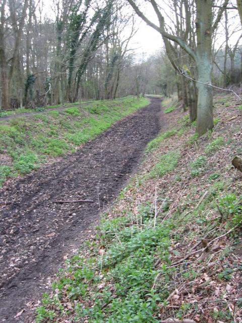
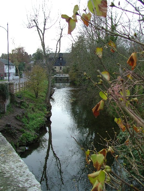
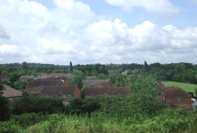
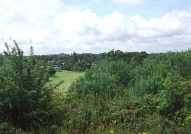
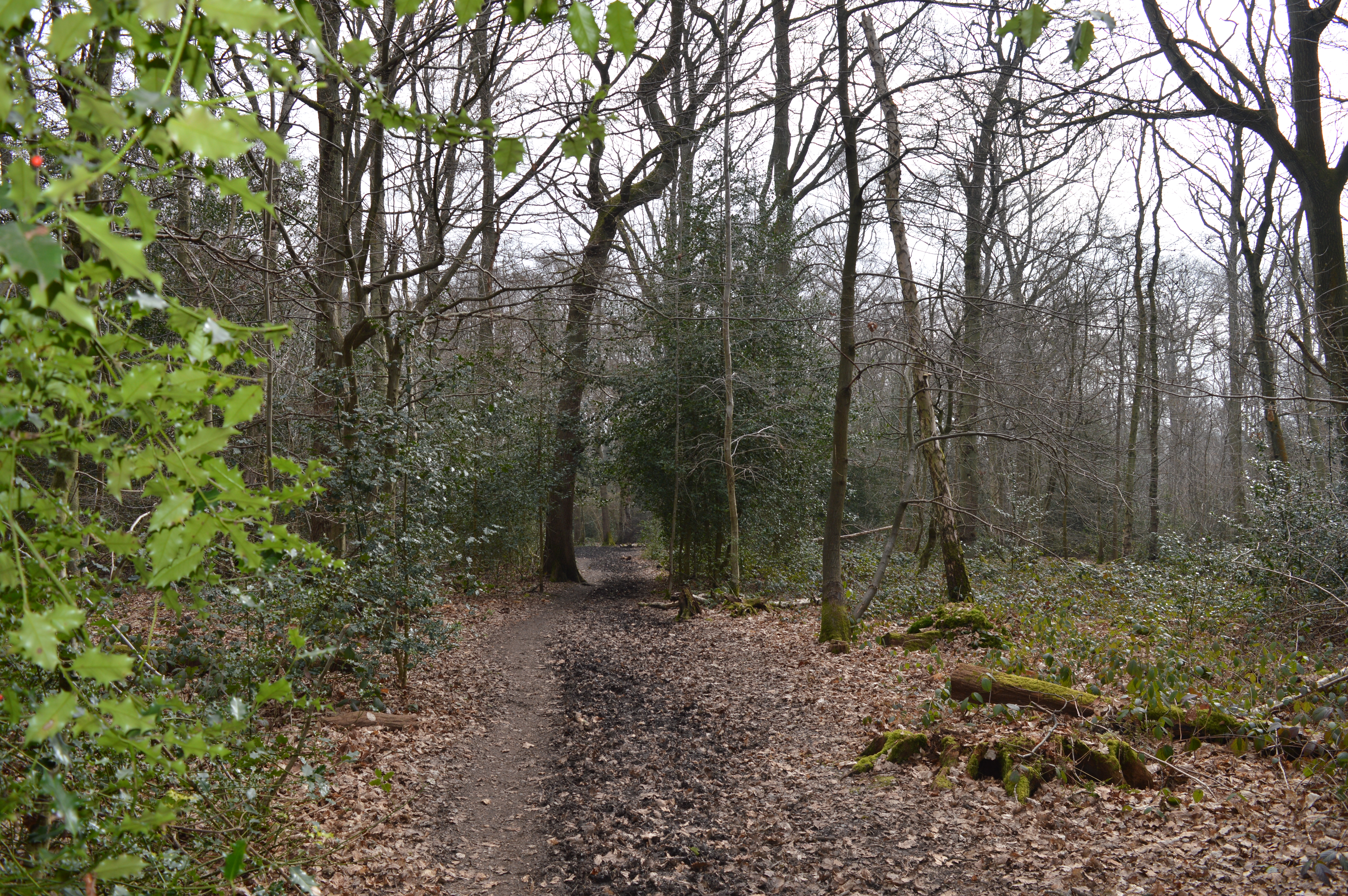
Conduit Field, located in Hertfordshire, is a picturesque wooded area commonly referred to as a forest. Spanning approximately 200 acres, this natural oasis is a popular destination for nature enthusiasts and outdoor lovers alike.
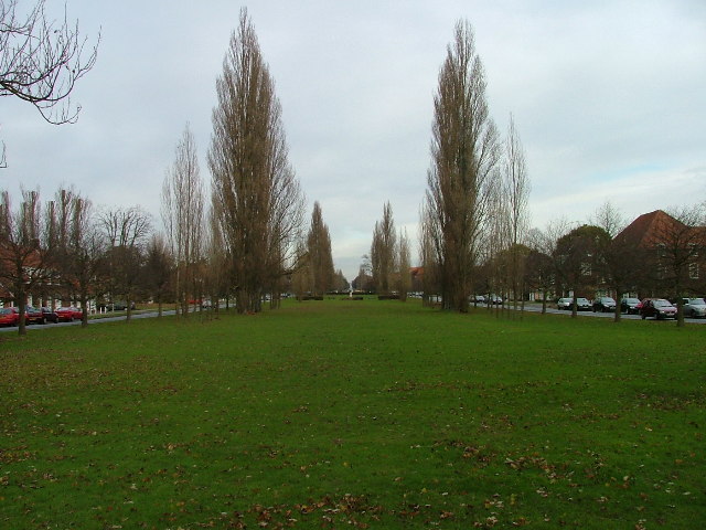
The forest boasts a diverse range of tree species, including oak, birch, ash, and beech, which create a stunning canopy that provides shelter and shade. The woodland floor is adorned with an array of wildflowers and ferns, adding to the enchanting ambiance of the area.
Conduit Field is crisscrossed by numerous walking trails, allowing visitors to explore the forest at their own pace. The paths meander through the woods, leading to hidden clearings, babbling brooks, and tranquil ponds. Along the way, hikers may spot various wildlife species, such as squirrels, rabbits, and a variety of bird species, including woodpeckers and owls.
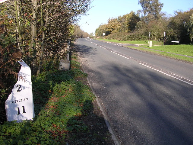
The forest is also home to a number of historical landmarks, including an ancient conduit, a remnant of an old water supply system that once served the local community. The conduit, which dates back several centuries, adds an element of intrigue and historical significance to the area.
Conduit Field offers a peaceful and serene escape from the hustle and bustle of everyday life. Whether one seeks solitude, enjoys birdwatching, or simply wishes to immerse themselves in the beauty of nature, this woodland retreat provides an idyllic setting for all nature enthusiasts to enjoy.
If you have any feedback on the listing, please let us know in the comments section below.
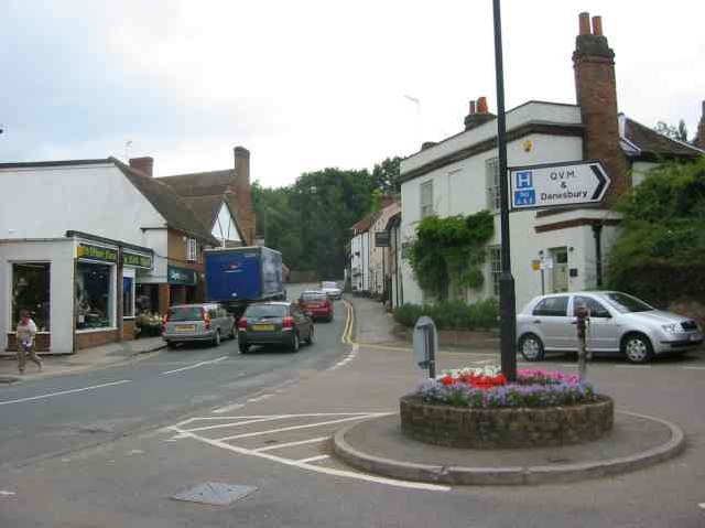
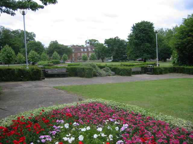
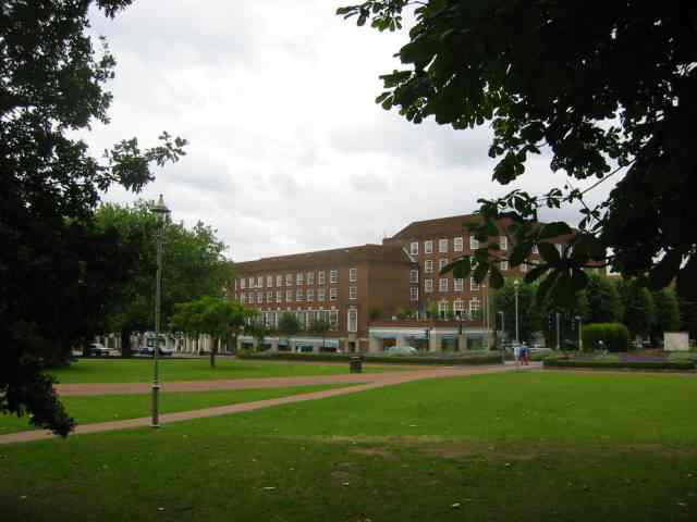
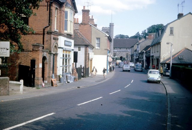
Conduit Field Images
Images are sourced within 2km of 51.812894/-0.21387072 or Grid Reference TL2314. Thanks to Geograph Open Source API. All images are credited.


Conduit Field is located at Grid Ref: TL2314 (Lat: 51.812894, Lng: -0.21387072)
Administrative County: Hertfordshire
District: Welwyn Hatfield
Police Authority: Hertfordshire
What 3 Words
///works.manage.paint. Near Welwyn Garden City, Hertfordshire
Nearby Locations
Related Wikis
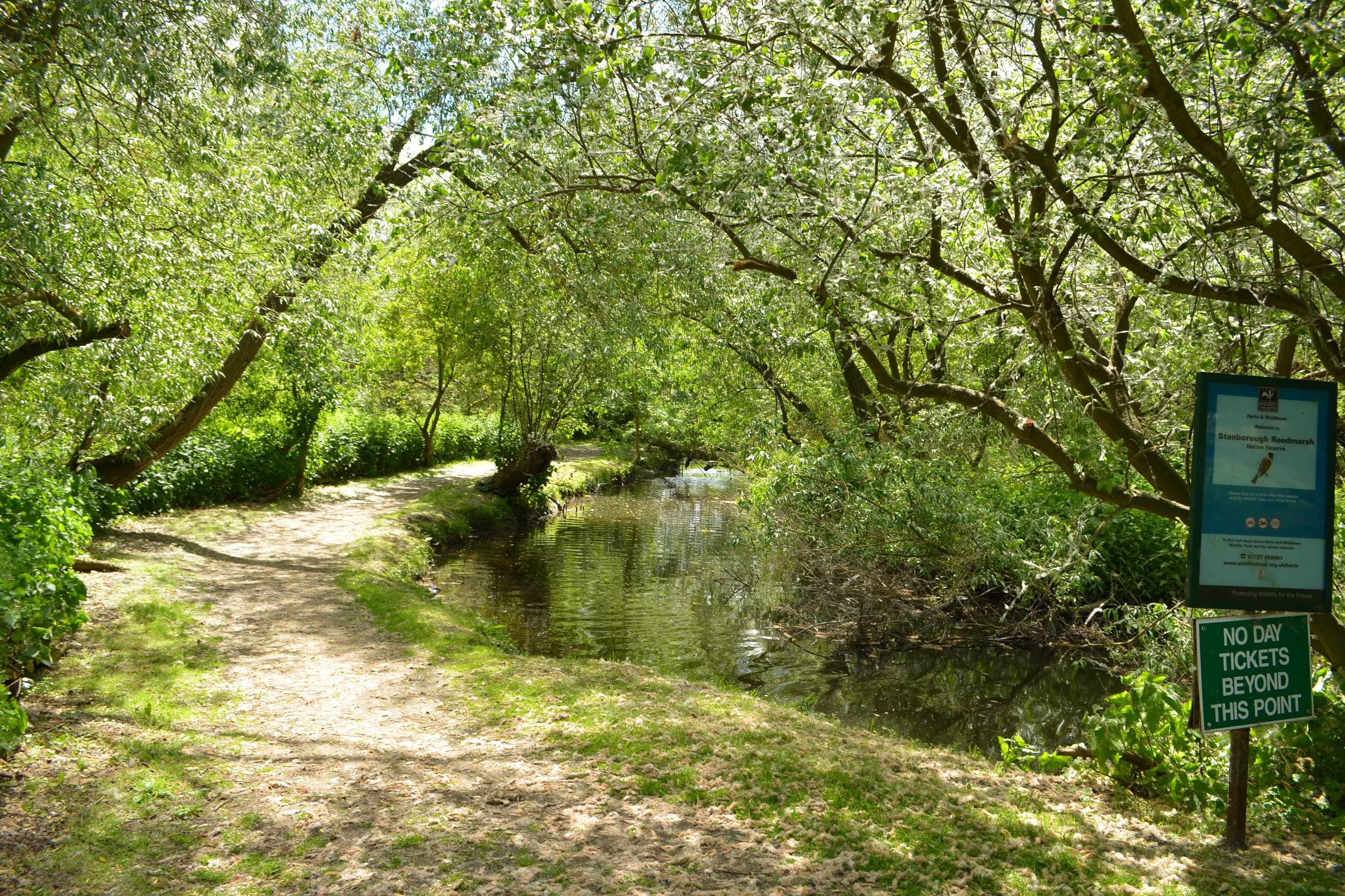
Stanborough Reedmarsh
Stanborough Reedmarsh is a 3.3 hectare Local Nature Reserve in Welwyn Garden City in Hertfordshire. It is owned by Welwyn Hatfield Borough Council and...
Sherrardspark Wood
Sherrardspark Wood (grid reference TL230139) is a 74.9 hectares (185 acres) biological site of Special Scientific Interest in Welwyn Garden City, Hertfordshire...
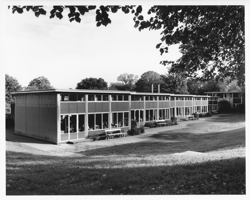
Templewood Primary School
Templewood Primary School is a primary school in Pentley Park, Welwyn Garden City, Hertfordshire, England. It is one of a number of modernist schools commissioned...
Hertfordshire
Hertfordshire ( HART-fərd-sheer or -shər; often abbreviated Herts) is a county in the East of England region and is one of the home counties. It borders...

Digswell Park
Digswell Park is a cricket ground in Welwyn Garden City, Hertfordshire. The first recorded match on the ground was in 1866 between The Node and Southgate...
Monk's Walk School
Monk's Walk School is a secondary school with academy status located on the outskirts of Welwyn Garden City, Hertfordshire, England. It opened in 1964...

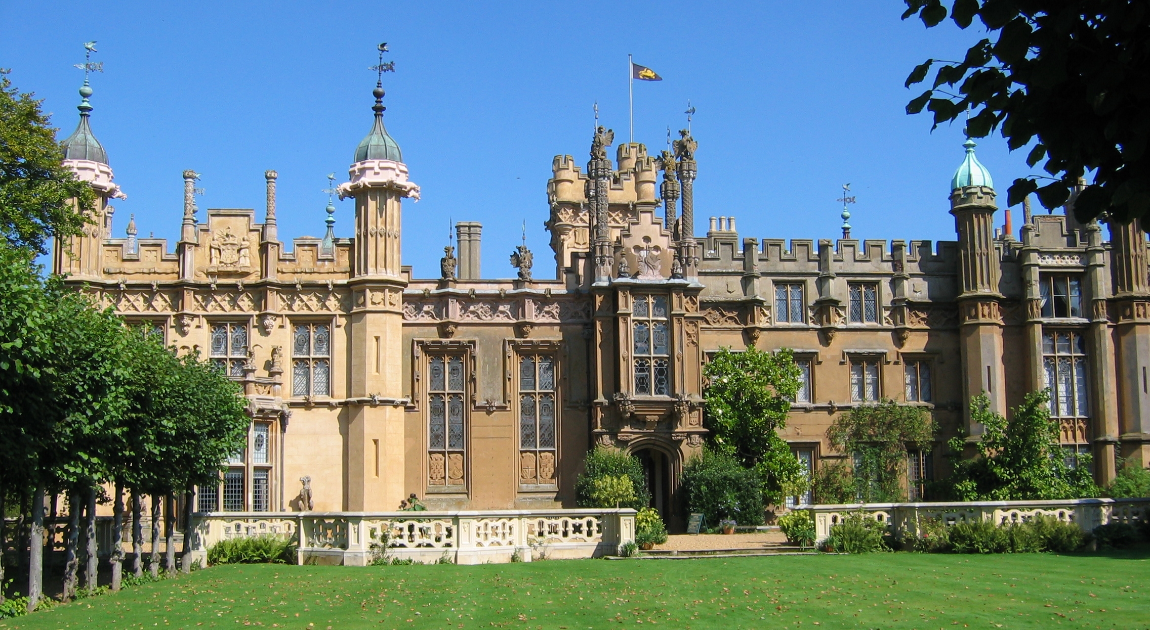
Digswell House
Digswell House is a Grade II listed Mansion in Hertfordshire, erected c. 1805–07 by Samuel Wyatt for the Honourable Edward Spencer Cowper, who lived there...
Monkswood
Monkswood is a small residential area in Welwyn Garden City, Hertfordshire, England.The area contains around 300 houses and flats and the population is...
Nearby Amenities
Located within 500m of 51.812894,-0.21387072Have you been to Conduit Field?
Leave your review of Conduit Field below (or comments, questions and feedback).