Digswell Park
Settlement in Hertfordshire Welwyn Hatfield
England
Digswell Park
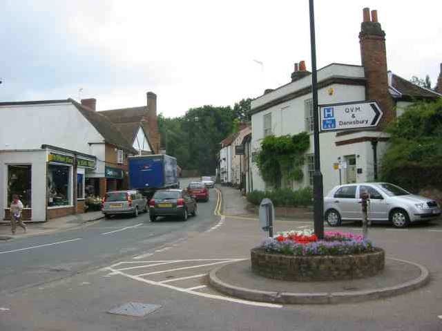
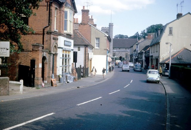
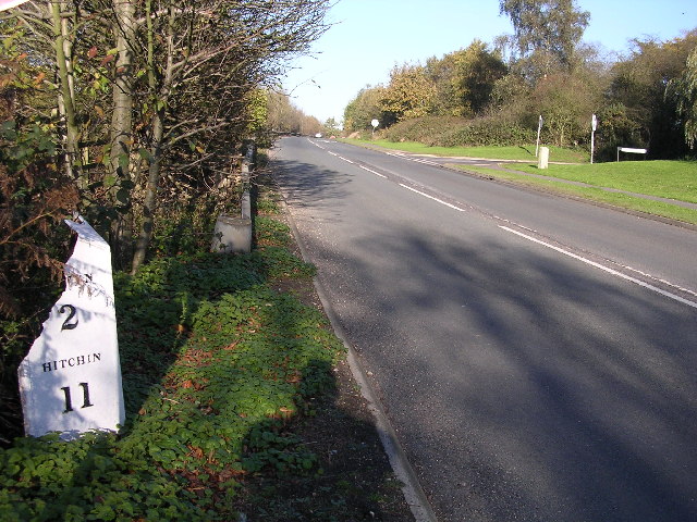
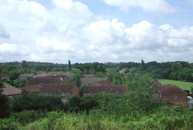
Digswell Park is a picturesque area located in Hertfordshire, England. Spanning over 460 acres, it offers a tranquil escape from the bustling city life. The park is situated near the villages of Digswell and Welwyn Garden City, approximately 20 miles north of London.
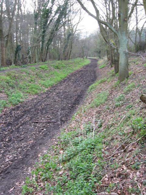
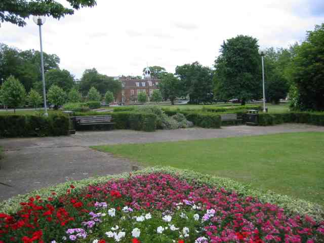
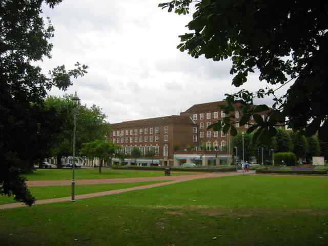
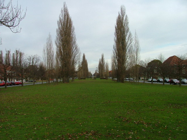
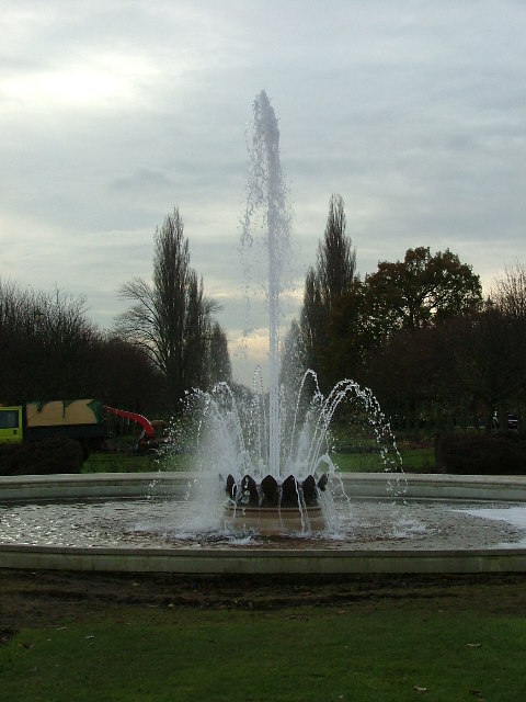
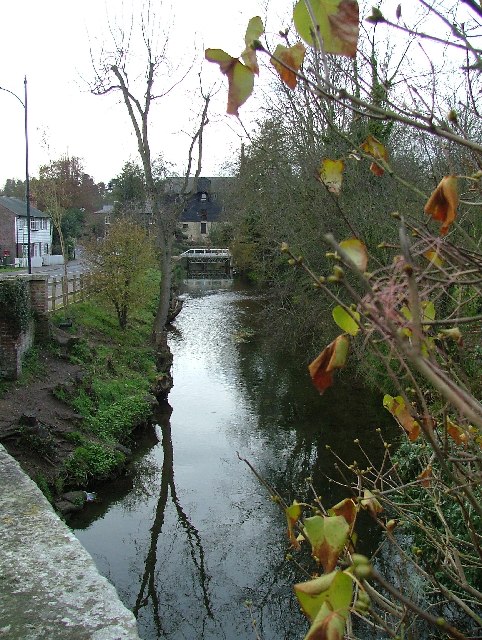
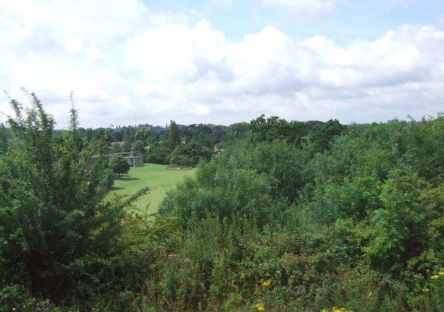
The park is renowned for its stunning natural beauty, featuring lush green fields, mature woodlands, and a serene lake. It is a haven for wildlife enthusiasts, with an abundance of flora and fauna to explore. Visitors can expect to encounter various bird species, deer, and other small mammals as they traverse the park's numerous walking trails.
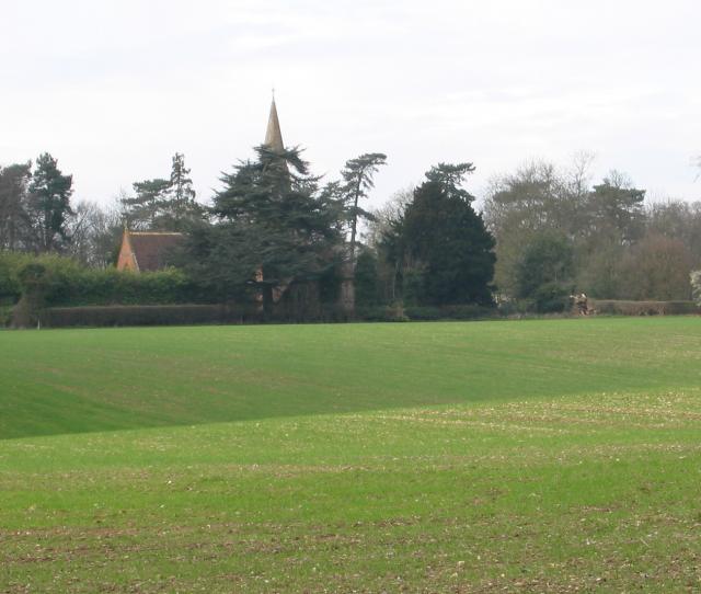
Digswell Park also boasts a rich historical significance. The park is home to Digswell House, a Grade II listed building that dates back to the 17th century. This elegant mansion, surrounded by beautiful gardens, adds to the park's charm and allure. It has been carefully restored and is now used as artists' studios and a venue for creative workshops.
The park offers a range of recreational activities for visitors to enjoy. There are ample picnic spots, perfect for a leisurely afternoon with family and friends. Additionally, there are designated areas for fishing in the lake, as well as facilities for horse riding and cycling.
Digswell Park is a popular destination for locals and tourists alike, providing a tranquil and scenic retreat in the heart of Hertfordshire. Whether one seeks a peaceful walk, an immersive nature experience, or a glimpse into history, this park offers something for everyone.
If you have any feedback on the listing, please let us know in the comments section below.
Digswell Park Images
Images are sourced within 2km of 51.81703/-0.206286 or Grid Reference TL2314. Thanks to Geograph Open Source API. All images are credited.


Digswell Park is located at Grid Ref: TL2314 (Lat: 51.81703, Lng: -0.206286)
Administrative County: Hertfordshire
District: Welwyn Hatfield
Police Authority: Hertfordshire
What 3 Words
///grid.horns.price. Near Welwyn Garden City, Hertfordshire
Nearby Locations
Related Wikis

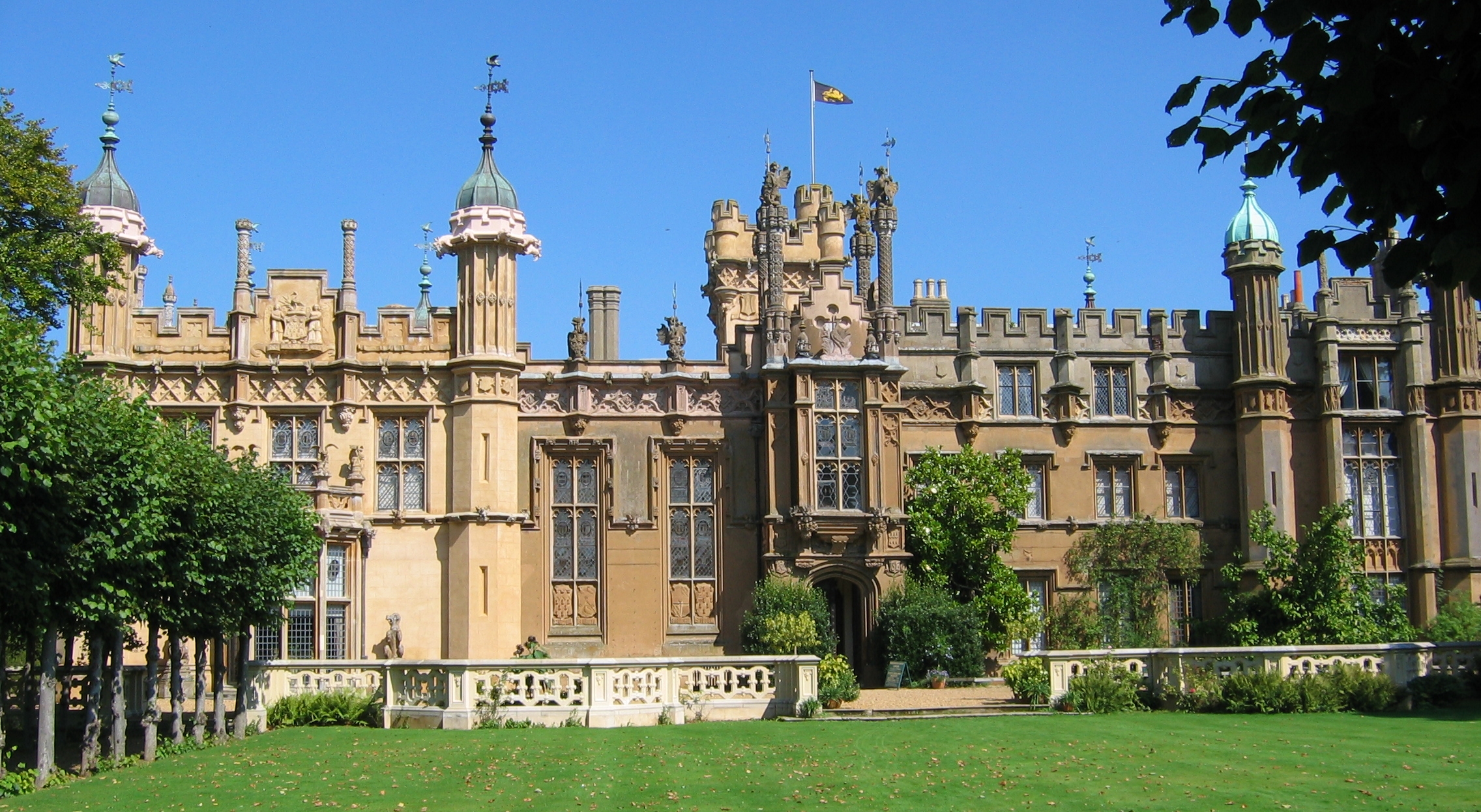
Digswell House
Digswell House is a Grade II listed Mansion in Hertfordshire, erected c. 1805–07 by Samuel Wyatt for the Honourable Edward Spencer Cowper, who lived there...

Digswell Park
Digswell Park is a cricket ground in Welwyn Garden City, Hertfordshire. The first recorded match on the ground was in 1866 between The Node and Southgate...
Monkswood
Monkswood is a small residential area in Welwyn Garden City, Hertfordshire, England.The area contains around 300 houses and flats and the population is...
Monk's Walk School
Monk's Walk School is a secondary school with academy status located on the outskirts of Welwyn Garden City, Hertfordshire, England. It opened in 1964...
Hertfordshire
Hertfordshire ( HART-fərd-sheer or -shər; often abbreviated Herts) is a county in the East of England region and is one of the home counties. It borders...
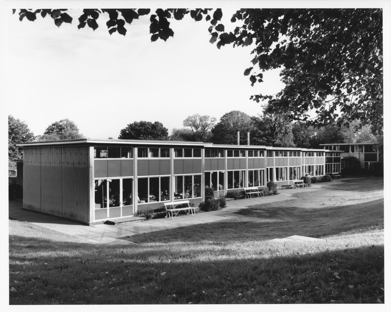
Templewood Primary School
Templewood Primary School is a primary school in Pentley Park, Welwyn Garden City, Hertfordshire, England. It is one of a number of modernist schools commissioned...

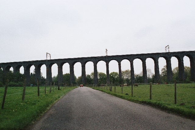
Digswell Viaduct
The Digswell Viaduct, also called Welwyn Viaduct, is a railway viaduct that carries the East Coast Main Line over the River Mimram in the county of Hertfordshire...
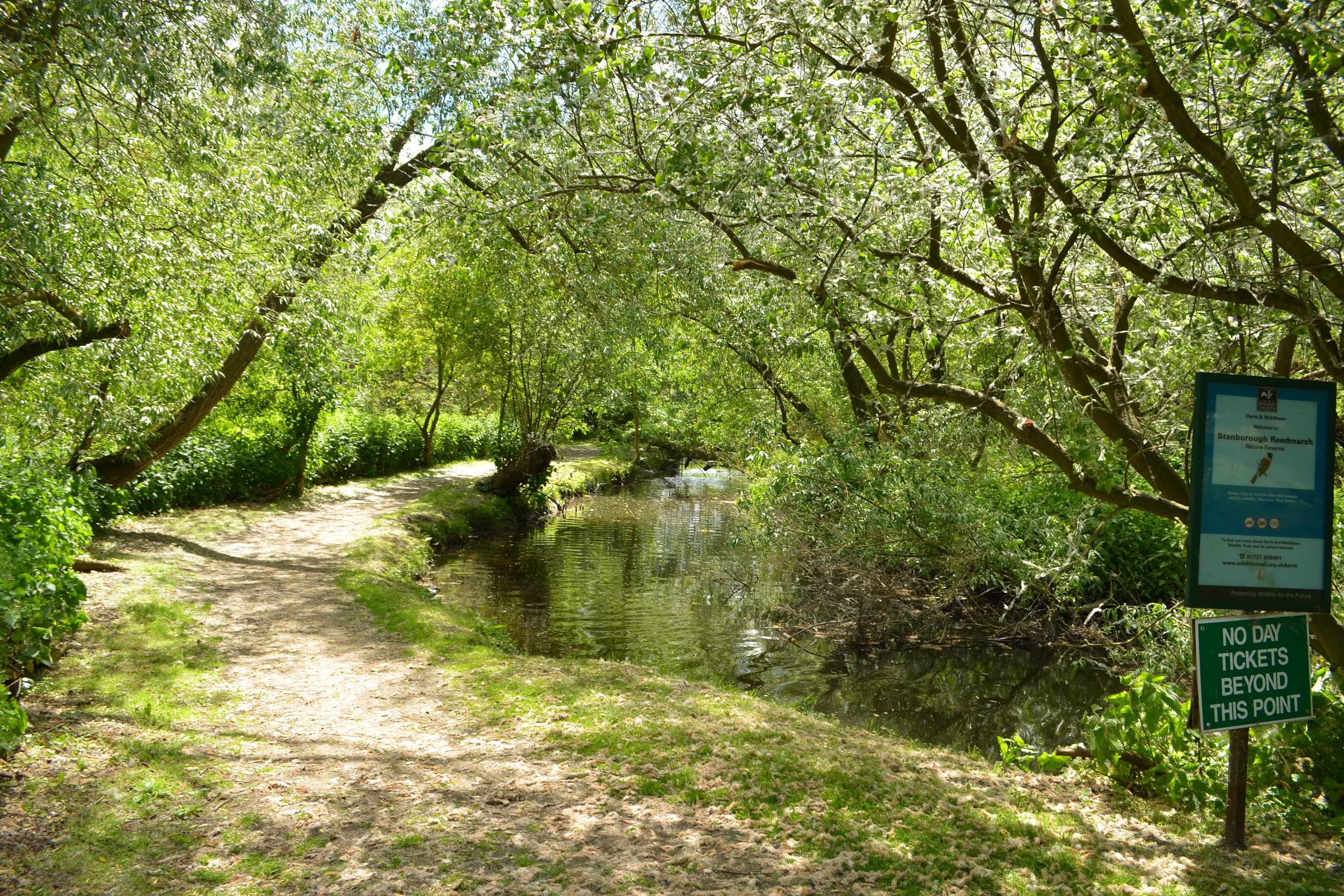
Stanborough Reedmarsh
Stanborough Reedmarsh is a 3.3 hectare Local Nature Reserve in Welwyn Garden City in Hertfordshire. It is owned by Welwyn Hatfield Borough Council and...
Nearby Amenities
Located within 500m of 51.81703,-0.206286Have you been to Digswell Park?
Leave your review of Digswell Park below (or comments, questions and feedback).