Cook's Wood

Wood, Forest in Hertfordshire Welwyn Hatfield

England

Cook's Wood

Brocket Hall gates Looking south from TL218139 to the gates of Brocket Hall - home of convicted fraudster and annoying D-list reality TV celeb Lord Brocket. Most of the rest of the grid square South of here is private, and judging by the spikes, CCTV and "STOP" notices I don't think he'll let you in.
Brocket Hall gates Credit: Rob Hinkley

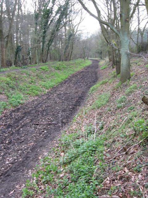
Cook's Wood is a picturesque woodland located in Hertfordshire, England. Situated in the heart of the county, it covers an area of approximately 50 acres and forms part of the wider Hertfordshire forest. The wood is named after the renowned English explorer, Captain James Cook, who is believed to have visited the area during his voyages.

The woodland boasts an impressive variety of native tree species, including oak, beech, ash, and birch, which create a rich and diverse ecosystem. The dense canopy provides shelter for numerous bird species, such as woodpeckers, tawny owls, and nuthatches, making it a popular spot for birdwatchers.

Cook's Wood offers a tranquil escape from the hustle and bustle of everyday life, with its well-maintained footpaths winding through the forest floor. Visitors can enjoy leisurely walks and explore the wood's natural beauty, taking in the sights and sounds of the wildlife that call it home.

The wood is also of historical and archaeological significance, with evidence of human activity dating back to the prehistoric era. Archaeological excavations have unearthed ancient artifacts and remnants of settlements, providing insights into the area's past.

Managed by the local council, Cook's Wood is carefully preserved to maintain its natural integrity and protect its diverse flora and fauna. Regular maintenance ensures the safety of visitors and the sustainability of the woodland ecosystem.

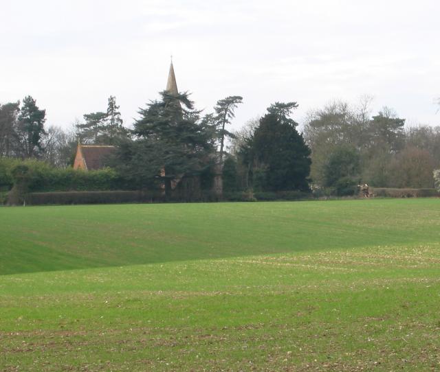
Overall, Cook's Wood is a cherished natural treasure in Hertfordshire, offering a peaceful retreat where visitors can immerse themselves in the beauty of nature and connect with the rich history of the land.

If you have any feedback on the listing, please let us know in the comments section below.
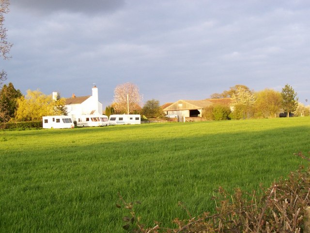
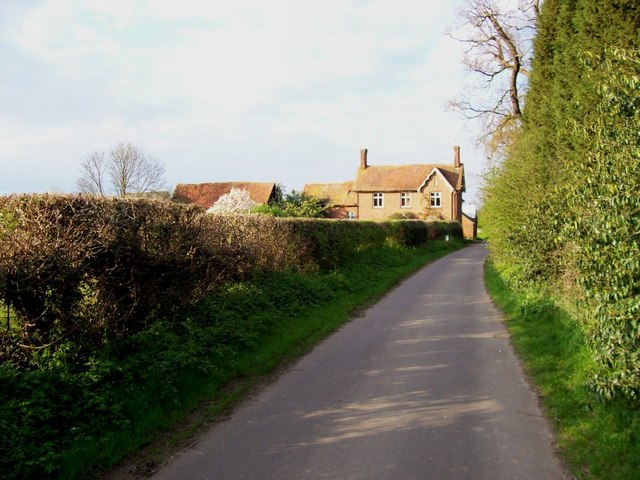
Cook's Wood Images

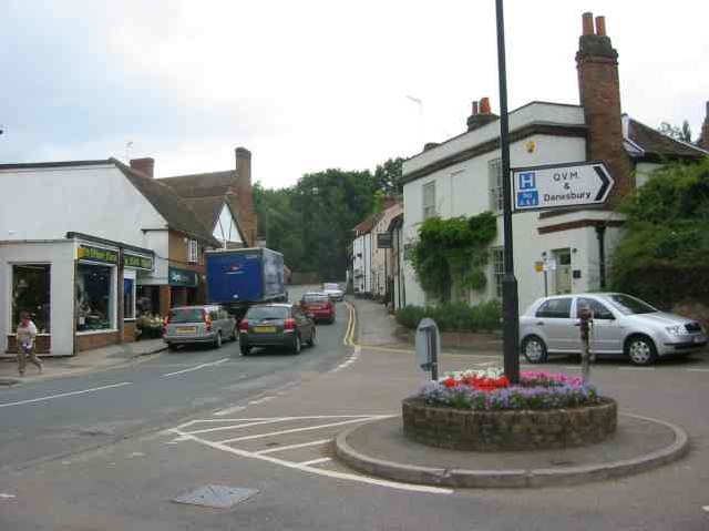
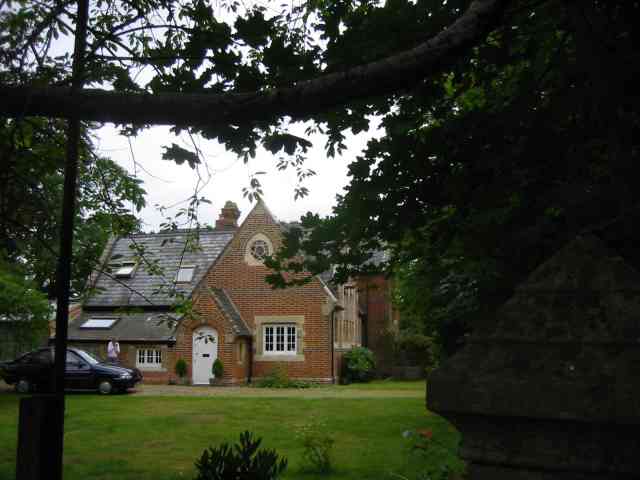
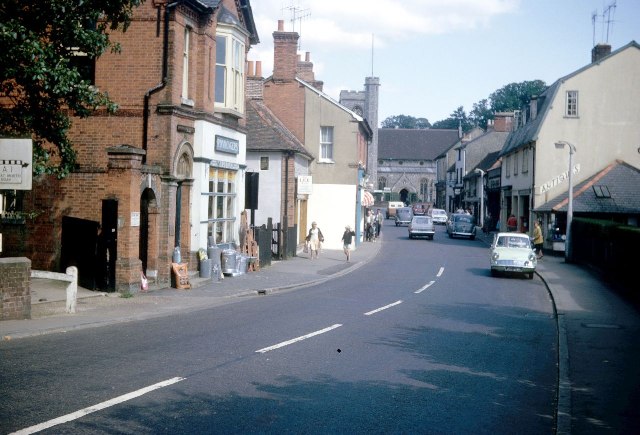
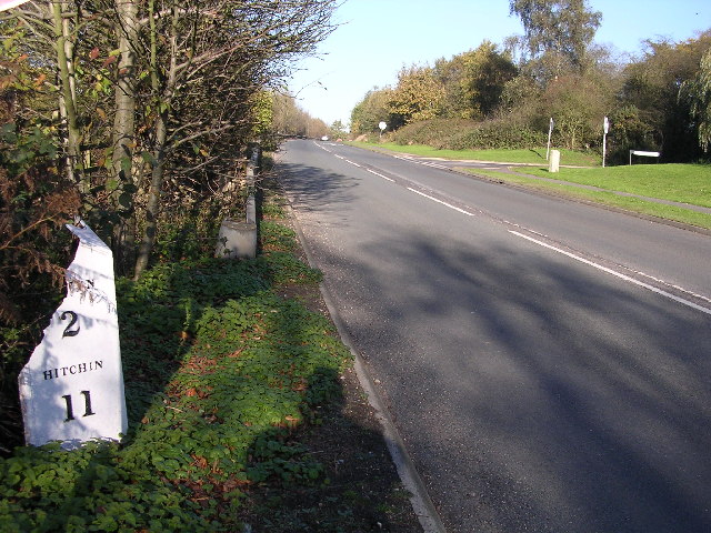
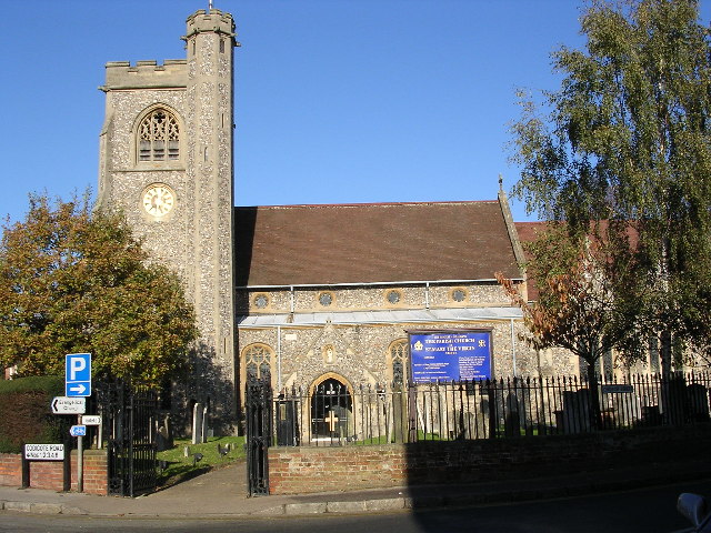
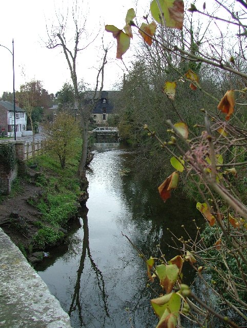
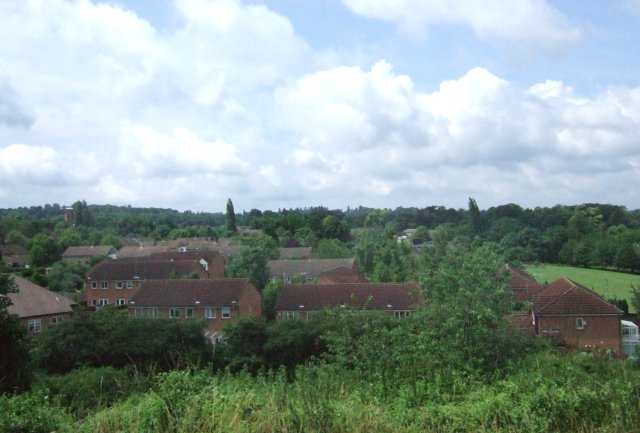
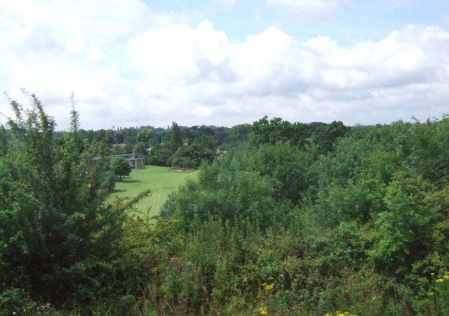
Images are sourced within 2km of 51.822328/-0.21751699 or Grid Reference TL2215. Thanks to Geograph Open Source API. All images are credited.

Brocket Hall gates Looking south from TL218139 to the gates of Brocket Hall - home of convicted fraudster and annoying D-list reality TV celeb Lord Brocket. Most of the rest of the grid square South of here is private, and judging by the spikes, CCTV and "STOP" notices I don't think he'll let you in.
Brocket Hall gates
Looking south from TL218139 to the gates of Brocket Hall - home of convicted fraudster and annoying D-list reality TV celeb Lord Brocket. Most of the rest of the grid square South of here is private, and judging by the spikes, CCTV and "STOP" notices I don't think he'll let you in.
Ayot Greenway Looking West from TL218146 along the greenway - a length of abandoned railway line running most of the way from Wheathampstead to Welwyn Garden City.
Ayot Greenway
Looking West from TL218146 along the greenway - a length of abandoned railway line running most of the way from Wheathampstead to Welwyn Garden City.
Church, Ayot St Peter, from afar. Peering North from TL218146, through the trees at the edge of the old railway line & across the fields to the church in Ayot St Peter (TL218149)
Church, Ayot St Peter, from afar.
Peering North from TL218146, through the trees at the edge of the old railway line & across the fields to the church in Ayot St Peter (TL218149)
Digswell Viaduct The viaduct has 40 brick arches and carries the East Coast Main Line over the River Mimram valley, just to the north of Welwyn Garden City.  The Road is Digswell Park Road and lies just within the southern boundary of TL2415.  Half of the viaduct visible in the picture is actually in TL2414.
Digswell Viaduct
The viaduct has 40 brick arches and carries the East Coast Main Line over the River Mimram valley, just to the north of Welwyn Garden City. The Road is Digswell Park Road and lies just within the southern boundary of TL2415. Half of the viaduct visible in the picture is actually in TL2414.
Ayot St Peter Church Taken from the road looking WSW towards the Church
Ayot St Peter Church
Taken from the road looking WSW towards the Church
Welwyn village The ducks have disappeared   otherwise a busy village scene
Welwyn village
The ducks have disappeared otherwise a busy village scene
Welwyn Village View up Codicote Road towards High Street. 
Congestion charges needed
Welwyn Village
View up Codicote Road towards High Street. Congestion charges needed
Ayot St Peter The church seems to be operational but where would the congregation come from?
Ayot St Peter
The church seems to be operational but where would the congregation come from?
Ayot St Peter This building is next door to the church. Looks like it was the school but is now a house
Ayot St Peter
This building is next door to the church. Looks like it was the school but is now a house
Welwyn High Street
Welwyn High Street
Milepost on Great North Rd This broken milepost stands on the old Great North Rd.  This is now the B197 Stevenage to Welwyn Garden City road.  In fact most people making this journey use  the A1 which runs parallel and about 50 yards to the left.  This milepost is cast iron and has been broken at some stage.  This is the road that Dick Turpin would have ridden from York to London on.
Milepost on Great North Rd
This broken milepost stands on the old Great North Rd. This is now the B197 Stevenage to Welwyn Garden City road. In fact most people making this journey use the A1 which runs parallel and about 50 yards to the left. This milepost is cast iron and has been broken at some stage. This is the road that Dick Turpin would have ridden from York to London on.
Welwyn.  Parish Church of St Mary the Virgin. This lovely old church sits on the High Street in Welwyn a lovely little village just off the A1.
Welwyn. Parish Church of St Mary the Virgin.
This lovely old church sits on the High Street in Welwyn a lovely little village just off the A1.
Lemsford mill and the River Lea. Taken from the very edge of the square facing the mill.
Lemsford mill and the River Lea.
Taken from the very edge of the square facing the mill.
Digswell Park from East Coast Main Line In Welwyn Garden City.
Digswell Park from East Coast Main Line
In Welwyn Garden City.
Harwood Hill JMI & Nursery School Not much of the school buildings can be seen here, but the playing fields are visible.  Taken from a passing train on the East Coast Main Line.
Harwood Hill JMI & Nursery School
Not much of the school buildings can be seen here, but the playing fields are visible. Taken from a passing train on the East Coast Main Line.
Ryefield Farm Some of the Ryefield Farm buildings, viewed from the track which approaches from the west.
Ryefield Farm
Some of the Ryefield Farm buildings, viewed from the track which approaches from the west.
Overview of the grid square, from its NW Taken from the road near the northern edge of the grid square, almost everything in this picture is in TL2116. The buildings on the horizon at the right are Ryefield Farm, the line of trees and hedges closer to us follow the river Mimram and the B-road from Welwyn to Kimpton.
Overview of the grid square, from its NW
Taken from the road near the northern edge of the grid square, almost everything in this picture is in TL2116. The buildings on the horizon at the right are Ryefield Farm, the line of trees and hedges closer to us follow the river Mimram and the B-road from Welwyn to Kimpton.
Whitehill Farm Looking north along the road to Welwyn, with woods to the right and Whitehill Farm straight ahead.
Whitehill Farm
Looking north along the road to Welwyn, with woods to the right and Whitehill Farm straight ahead.
Show me another place!

Cook's Wood is located at Grid Ref: TL2215 (Lat: 51.822328, Lng: -0.21751699)

Administrative County: Hertfordshire

District: Welwyn Hatfield

Police Authority: Hertfordshire

What 3 Words

///zealous.river.unwanted. Near Welwyn, Hertfordshire

Related Wikis

Station IX

Station IX (formerly known as the Inter-Services Research Bureau) was a secret British Special Operations Executive factory making special weapons and...
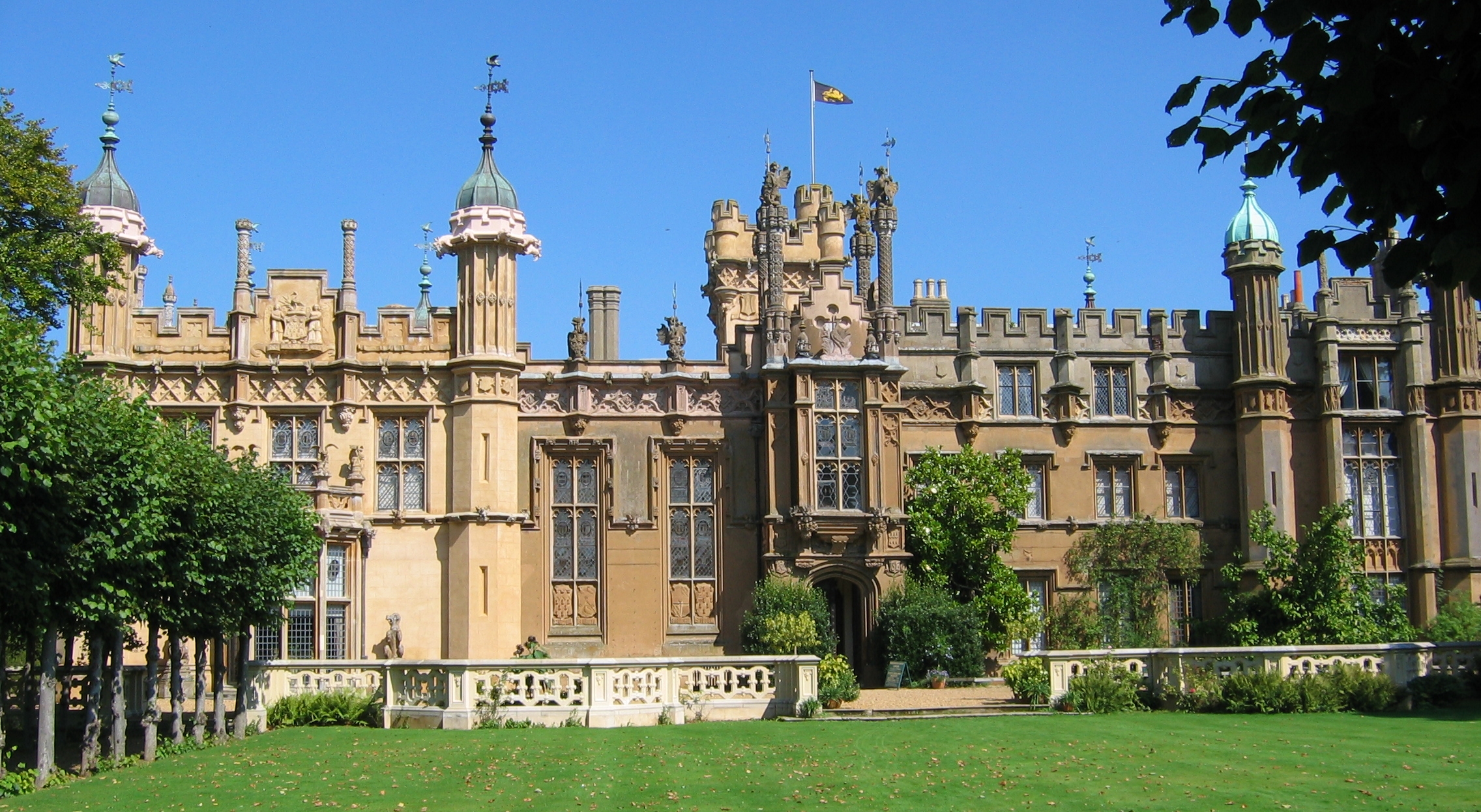
The Frythe

The Frythe is a country house set in its own grounds in rural Hertfordshire, just south of the village of Welwyn, about 30 miles north of London. ��2...

Monk's Walk School

Monk's Walk School is a secondary school with academy status located on the outskirts of Welwyn Garden City, Hertfordshire, England. It opened in 1964...

Hertfordshire

Hertfordshire ( HART-fərd-sheer or -⁠shər; often abbreviated Herts) is a county in the East of England region and is one of the home counties. It borders...

Digswell Park

Digswell Park is a cricket ground in Welwyn Garden City, Hertfordshire. The first recorded match on the ground was in 1866 between The Node and Southgate...

Welwyn Rural District

Welwyn Rural District was a rural district in Hertfordshire, England from 1894 to 1974, covering an area in the centre of the county. == Evolution... ==

Welwyn Roman Baths

The Welwyn Roman Baths are a Roman ruin preserved under the A1(M) just north of modern-day Welwyn Garden City, Hertfordshire, England. The baths were a...

Digswell House

Digswell House is a Grade II listed Mansion in Hertfordshire, erected c. 1805–07 by Samuel Wyatt for the Honourable Edward Spencer Cowper, who lived there...

Nearby Amenities

Located within 500m of 51.822328,-0.21751699
Motorway Junction
The Clock
Ref: 6
Lat/Long: 51.8223672/-0.2137859
Crossing
Crossing: unmarked
Crossing Island: yes
Tactile Paving: yes
Lat/Long: 51.8240467/-0.214048
Bus Stop
Windsor Road
Naptan AtcoCode: 210021600270
Naptan Bearing: W
Naptan BusStopType: CUS
Naptan CommonName: Windsor Road
Naptan Crossing: York Way
Naptan Indicator: W-bound
Naptan Landmark: York Way
Naptan NaptanCode: hrtatdpj
Naptan ShortCommonName: NA
Naptan Street: Windsor Road
Naptan Verified: no
Source: naptan_import
Lat/Long: 51.8230533/-0.2174707
Bus Stop
The Crescent
Naptan AtcoCode: 210021600280
Naptan Bearing: S
Naptan CommonName: The Crescent
Naptan Indicator: opp
Naptan Landmark: Unknown
Naptan NaptanCode: hrtatdpm
Naptan PlusbusZoneRef: WLWYNGC
Naptan ShortCommonName: NA
Naptan Street: London Road
Naptan Verified: no
Source: naptan_import
Lat/Long: 51.8251905/-0.2149048
Bus Stop
Node Way Gardens
Naptan AtcoCode: 210021600285
Naptan Bearing: S
Naptan CommonName: Node Way Gardens
Naptan Indicator: adj
Naptan Landmark: Unknown
Naptan NaptanCode: hrtgtajp
Naptan PlusbusZoneRef: WLWYNGC
Naptan ShortCommonName: NA
Naptan Street: Digswell Hill
Naptan Verified: no
Source: naptan_import
Lat/Long: 51.8242299/-0.2138254
Bus Stop
The Crescent
Local Ref: NR
Naptan AtcoCode: 210021607400
Naptan Bearing: N
Naptan CommonName: The Crescent
Naptan Indicator: nr
Naptan Landmark: Unknown
Naptan NaptanCode: hrtampdg
Naptan PlusbusZoneRef: WLWYNGC
Naptan ShortCommonName: NA
Naptan Street: London Road
Naptan Verified: no
Source: naptan_import
Lat/Long: 51.8247536/-0.2151543
Bus Stop
Node Way Gardens
Naptan AtcoCode: 210021607405
Naptan Bearing: N
Naptan CommonName: Node Way Gardens
Naptan Crossing: The Beeches
Naptan Indicator: opp
Naptan Landmark: The Beeches
Naptan NaptanCode: hrtgtajt
Naptan PlusbusZoneRef: WLWYNGC
Naptan ShortCommonName: NA
Naptan Street: Digswell Hill
Naptan Verified: no
Source: naptan_import
Lat/Long: 51.8243849/-0.2139644
Post Box
Collection Times: Mo-Fr 17:00; Sa 12:00
Description: On left, going uphill (N)
Post Box Type: lamp
Ref: AL6 284
Lat/Long: 51.823151/-0.218183
Post Box
Collection Times: Mo-Fr 17:00; Sa 12:00
Post Box Type: pillar
Ref: AL6 187
Lat/Long: 51.825211/-0.215089
Traffic Signals
Traffic Signals: pedestrian_crossing
Lat/Long: 51.8247784/-0.2135935
Street Lamp
Lamp Model: Philips MA50
Lamp Type: SOX
Source: Personal memory
Lat/Long: 51.8252995/-0.2120654
Street Lamp
Lamp Model: Philips MA50
Lamp Type: SOX
Source: Personal memory
Lat/Long: 51.8250757/-0.211934
Barrier: yes
Lat/Long: 51.8214547/-0.2245762
Location Transition: yes
Power: pole
Lat/Long: 51.8246319/-0.219571
Power: pole
Lat/Long: 51.8249369/-0.2203944
Power: pole
Lat/Long: 51.825479/-0.2218831
Waste Basket
Lat/Long: 51.8267915/-0.217157
Traffic Calming: island
Lat/Long: 51.821873/-0.2160721
Crossing
Crossing: unmarked
Crossing Island: yes
Tactile Paving: yes
Lat/Long: 51.8235835/-0.2144368
Give Way
Direction: backward
Lat/Long: 51.8231496/-0.2150176
Give Way
Lat/Long: 51.823146/-0.2151586
Crossing
Crossing: traffic_signals
Tactile Paving: yes
Lat/Long: 51.8248285/-0.2134501
Crossing
Crossing: traffic_signals
Tactile Paving: yes
Lat/Long: 51.8248004/-0.2135801
Crossing
Crossing: unmarked
Crossing Island: no
Tactile Paving: yes
Lat/Long: 51.8245174/-0.2135645
Crossing
Crossing: unmarked
Crossing Island: no
Tactile Paving: yes
Lat/Long: 51.8246982/-0.213698
Traffic Signals
Traffic Signals: pedestrian_crossing
Lat/Long: 51.8248561/-0.2134314
Traffic Calming: island
Lat/Long: 51.8229196/-0.2151929
The data included in this document is from www.openstreetmap.org. The data is made available under ODbL.

Have you been to Cook's Wood?

Leave your review of Cook's Wood below (or comments, questions and feedback).