Big Rous Holt

Wood, Forest in Lincolnshire East Lindsey

England

Big Rous Holt

Sandy Lane
Sandy Lane Credit: Alex McGregor

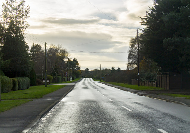
Big Rous Holt is a small woodland area located in the county of Lincolnshire, England. Situated near the village of Wood, in the district of Forest, it covers an approximate area of 200 acres. The woodland is characterized by its dense and diverse tree cover, predominantly consisting of native species such as oak, beech, and birch.

Big Rous Holt is renowned for its natural beauty and is popular among nature enthusiasts, hikers, and birdwatchers. The woodland provides a rich habitat for various wildlife, including deer, foxes, and a wide range of bird species. The tranquility and serenity of Big Rous Holt make it an ideal spot for nature lovers seeking a peaceful escape from the hustle and bustle of everyday life.

The woodland features well-maintained footpaths and trails, allowing visitors to explore the area at their own pace. These paths wind through the trees, offering picturesque views and opportunities to spot wildlife. Big Rous Holt is also home to a small picnic area, providing visitors with a space to relax and enjoy a meal amidst nature.

The management of Big Rous Holt is overseen by a local conservation group, ensuring the preservation and protection of the woodland's natural environment. The group conducts regular maintenance activities, including tree planting and removal of invasive species, to maintain the ecological balance of the area.

Overall, Big Rous Holt in Lincolnshire is a hidden gem for nature enthusiasts, offering a tranquil and immersive experience in the heart of a thriving woodland ecosystem.

If you have any feedback on the listing, please let us know in the comments section below.

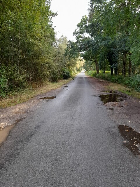
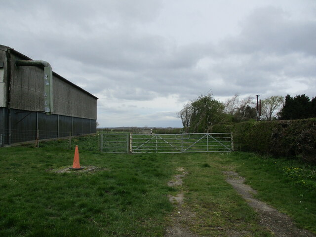
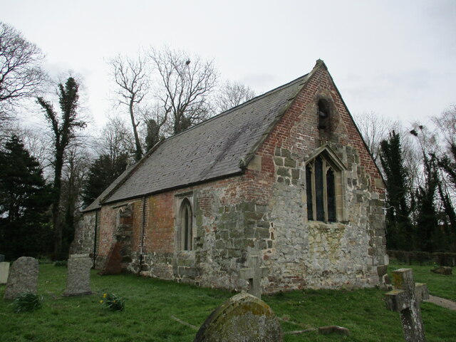
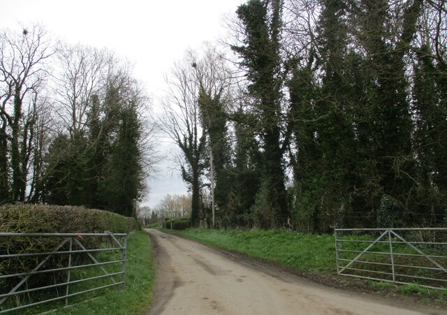
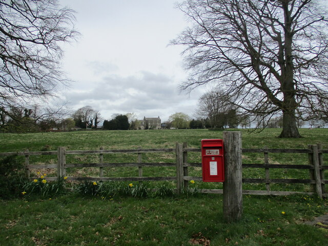
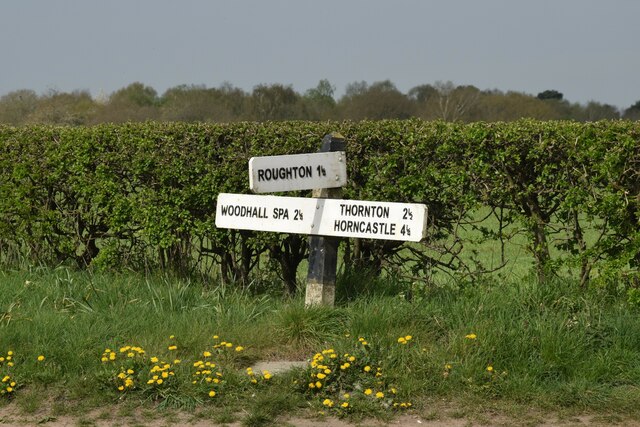
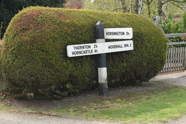
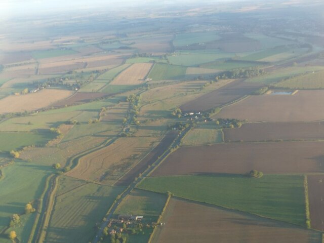
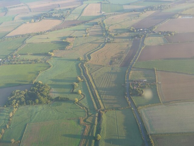
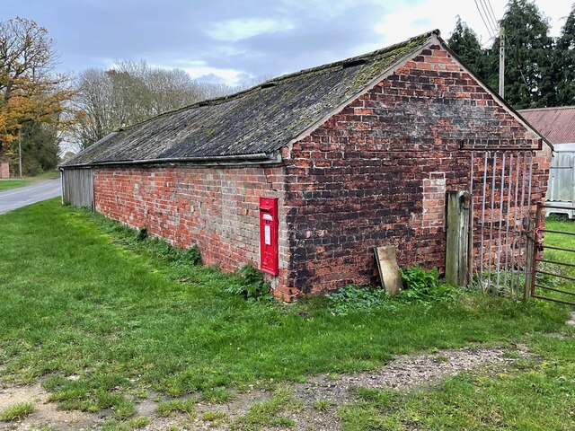
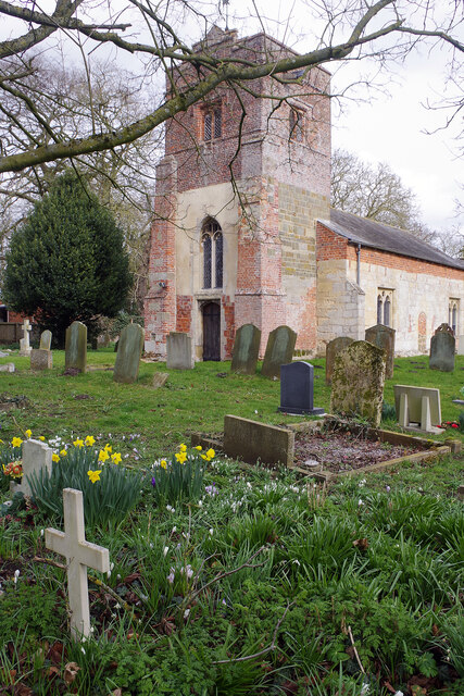
Big Rous Holt Images

Images are sourced within 2km of 53.170289/-0.162165 or Grid Reference TF2265. Thanks to Geograph Open Source API. All images are credited.

Sandy Lane
Sandy Lane
Viking Way
Viking Way
Sandy Lane
Sandy Lane
Highhall Farm
Highhall Farm
The beginning of a bridleway to Woodhall Spa, Langton
St. Michael's church. Martin A much repaired and altered Morman church. In this vew can be seen Norman and later medieval stone work and eighteenth century and Victorian brickwork <span class="nowrap"><a title="https://historicengland.org.uk/listing/the-list/list-entry/1146950?section=official-list-entry" rel="nofollow ugc noopener" href="https://historicengland.org.uk/listing/the-list/list-entry/1146950?section=official-list-entry">Link</a><img style="margin-left:2px;" alt="External link" title="External link - shift click to open in new window" src="https://s1.geograph.org.uk/img/external.png" width="10" height="10"/></span>
St. Michael's church. Martin
A much repaired and altered Morman church. In this vew can be seen Norman and later medieval stone work and eighteenth century and Victorian brickwork LinkExternal link
Church Lane, Martin
Church Lane, Martin
Grass field and Martin Hall Martin Hall dates from the late eighteenth century <span class="nowrap"><a title="https://historicengland.org.uk/listing/the-list/list-entry/1359919?section=official-list-entry" rel="nofollow ugc noopener" href="https://historicengland.org.uk/listing/the-list/list-entry/1359919?section=official-list-entry">Link</a><img style="margin-left:2px;" alt="External link" title="External link - shift click to open in new window" src="https://s1.geograph.org.uk/img/external.png" width="10" height="10"/></span>
Grass field and Martin Hall
Martin Hall dates from the late eighteenth century LinkExternal link
Direction Sign – Signpost on the B1191 Horncastle Road at Martin Moor Located at Martin Moor, on the northwest side of the T junction of the B1191 Horncastle Road and Moor Lane, in Roughton parish. 3 arms but no finial. See also <a title="https://www.geograph.org.uk/photo/464517" href="https://www.geograph.org.uk/photo/464517">Link</a>.

Milestone Society National ID: LI_TF2264
Direction Sign – Signpost on the B1191 Horncastle Road at Martin Moor
Located at Martin Moor, on the northwest side of the T junction of the B1191 Horncastle Road and Moor Lane, in Roughton parish. 3 arms but no finial. See also Link. Milestone Society National ID: LI_TF2264
Direction Sign – Signpost on the B1191 Horncastle Road at Martin Moo Located at Martin Moor, on the southeast side of the T junction of the B1191 Horncastle Road and Sandy Lane, in Roughton parish. 3 arms but no finial.

Milestone Society National ID: LI_TF2164
Direction Sign – Signpost on the B1191 Horncastle Road at Martin Moo
Located at Martin Moor, on the southeast side of the T junction of the B1191 Horncastle Road and Sandy Lane, in Roughton parish. 3 arms but no finial. Milestone Society National ID: LI_TF2164
River Bain and disused Horncastle Canal N of Haltham: aerial 2022
River Bain and disused Horncastle Canal at Dalderby: aerial 2022
River Bain and disused Horncastle Canal S of Dalderby: aerial 2022
Cut Mark: Roughton, Moor Lane, Farm Building Cut bench mark on the end of a farm building on Moor Lane.  See <a title="https://www.geograph.org.uk/photo/7351094" href="https://www.geograph.org.uk/photo/7351094">Link</a> for a wider view and <span class="nowrap"><a title="https://www.bench-marks.org.uk/bm180176" rel="nofollow ugc noopener" href="https://www.bench-marks.org.uk/bm180176">Link</a><img style="margin-left:2px;" alt="External link" title="External link - shift click to open in new window" src="https://s1.geograph.org.uk/img/external.png" width="10" height="10"/></span> for details of the mark.
Cut Mark: Roughton, Moor Lane, Farm Building
Cut bench mark on the end of a farm building on Moor Lane. See Link for a wider view and LinkExternal link for details of the mark.
Farm Building on Moor Lane There is a cut bench mark on the end of this farm building on Moor Lane.  See <a title="https://www.geograph.org.uk/photo/7351090" href="https://www.geograph.org.uk/photo/7351090">Link</a> for a closer view and <span class="nowrap"><a title="https://www.bench-marks.org.uk/bm180176" rel="nofollow ugc noopener" href="https://www.bench-marks.org.uk/bm180176">Link</a><img style="margin-left:2px;" alt="External link" title="External link - shift click to open in new window" src="https://s1.geograph.org.uk/img/external.png" width="10" height="10"/></span> for details of the mark.
Farm Building on Moor Lane
There is a cut bench mark on the end of this farm building on Moor Lane. See Link for a closer view and LinkExternal link for details of the mark.
Roughton Church Well off the beaten track, the Church of St Margaret seems to blend into the Lincolnshire countryside. It is grade II* listed and designated an ancient monument. The chancel dates from the 13th century and the rest mostly from the 15th; it was restored in 1870. The churchyard is noted for its snowdrops but this mid-March view is a little late for that; instead there is a pleasing clump of daffodils.
Roughton Church
Well off the beaten track, the Church of St Margaret seems to blend into the Lincolnshire countryside. It is grade II* listed and designated an ancient monument. The chancel dates from the 13th century and the rest mostly from the 15th; it was restored in 1870. The churchyard is noted for its snowdrops but this mid-March view is a little late for that; instead there is a pleasing clump of daffodils.
B1191 towards Woodhall Spa
B1191 at Roughton Heading towards Woodhall Spa.
B1191 at Roughton
Heading towards Woodhall Spa.
Show me another place!

Big Rous Holt is located at Grid Ref: TF2265 (Lat: 53.170289, Lng: -0.162165)

Administrative County: Lincolnshire

District: East Lindsey

Police Authority: Lincolnshire

What 3 Words

///steepest.rolled.propelled. Near Woodhall Spa, Lincolnshire

Related Wikis

Big Rous Holt

Big Rous Holt is a small woodland beside the B1191 (Horncastle Road) to the north east of the village of Woodhall Spa in Lincolnshire on Roughton Moor...

Roughton Scrubs

Roughton Scrubs is a small woodland beside the B1191 (Horncastle Road) to the north east of the village of Woodhall Spa in Lincolnshire on Roughton Moor...

Highall Wood

Highall Wood is a woodland to the north east of the village of Woodhall Spa, Lincolnshire. It is bordered by Park Plantation to the east and White Hall...

Wellsyke Wood

Wellsyke Wood is a small woodland on Roughton Moor to the east of the village of Woodhall Spa, Lincolnshire. At the eastern end of the wood there is a...

Roughton, Lincolnshire

Roughton ( ROOT-ən) is a village and civil parish in the East Lindsey district of Lincolnshire, England. The parish population was 644 in 2011.The village...

Kirkby Moor, Lincolnshire

Kirkby Moor is an elevated area of lowland heath, woodland and farmland in central Lincolnshire between the villages of Woodhall Spa to the west and Kirkby...

Martin, East Lindsey

Martin is a village and former civil parish, now in the parish of Roughton, in the East Lindsey district of Lincolnshire, England. It is about 2 miles...

Dalderby

Dalderby is a village and former civil parish, now in the parish of Roughton, in the East Lindsey district of Lincolnshire, England. It is situated approximately...

Nearby Amenities

Located within 500m of 53.170289,-0.162165
Bus Stop
Poultry Farm
Naptan AtcoCode: 2700LSSS0892
Naptan Bearing: NE
Naptan CommonName: Poultry Farm
Naptan Indicator: adj
Naptan Landmark: Poultry Farm
Naptan NaptanCode: linagpgd
Naptan Street: Horncastle Road
Naptan Verified: no
Source: naptan_import
Lat/Long: 53.1689952/-0.1664163
Bus Stop
Poultry Farm
Naptan AtcoCode: 2700LWEC2021
Naptan Bearing: SW
Naptan CommonName: Poultry Farm
Naptan Indicator: opp
Naptan Landmark: Poultry Farm
Naptan NaptanCode: linapawd
Naptan Street: Horncastle Road
Naptan Verified: no
Source: naptan_import
Lat/Long: 53.1690281/-0.166112
Power: pole
Source: Bing
Lat/Long: 53.1664989/-0.1622643
Power: pole
Source: Bing
Lat/Long: 53.1662529/-0.1629227
Power: pole
Source: Bing
Lat/Long: 53.1667441/-0.1615964
Power: pole
Source: Bing
Lat/Long: 53.1663358/-0.1629839
Power: pole
Source: Bing
Lat/Long: 53.1661187/-0.1635525
Power: pole
Source: Bing
Lat/Long: 53.1660343/-0.1635302
Power: pole
Source: Bing
Lat/Long: 53.1666485/-0.1620612
Power: pole
Source: Bing
Lat/Long: 53.166503/-0.1624729
Power: pole
Source: Bing
Lat/Long: 53.1661308/-0.1635122
Power: pole
Source: Bing
Lat/Long: 53.1669291/-0.1612933
Power: pole
Lat/Long: 53.1678333/-0.1674409
Material: wood
Power: pole
Lat/Long: 53.1688152/-0.166875
Material: wood
Power: pole
Lat/Long: 53.168484/-0.1670601
Fixme: Name of farm?
Place: farm
Source: Bing
Lat/Long: 53.1698179/-0.1669543
Moorlands
Place: isolated_dwelling
Source: Bing
Lat/Long: 53.1661215/-0.162828
Spindletree
Place: isolated_dwelling
Source: Bing
Lat/Long: 53.1716131/-0.1651338
Generator Method: photovoltaic
Generator Output Electricity: yes
Generator Source: solar
Generator Type: solar_photovoltaic_panel
Location: roof
Power: generator
Lat/Long: 53.1686105/-0.16863
Generator Method: photovoltaic
Generator Output Electricity: yes
Generator Source: solar
Generator Type: solar_photovoltaic_panel
Location: roof
Power: generator
Lat/Long: 53.1686076/-0.1683901
The data included in this document is from www.openstreetmap.org. The data is made available under ODbL.

Have you been to Big Rous Holt?

Leave your review of Big Rous Holt below (or comments, questions and feedback).