Ash Plantation
Wood, Forest in Huntingdonshire Huntingdonshire
England
Ash Plantation
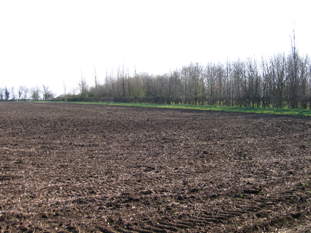
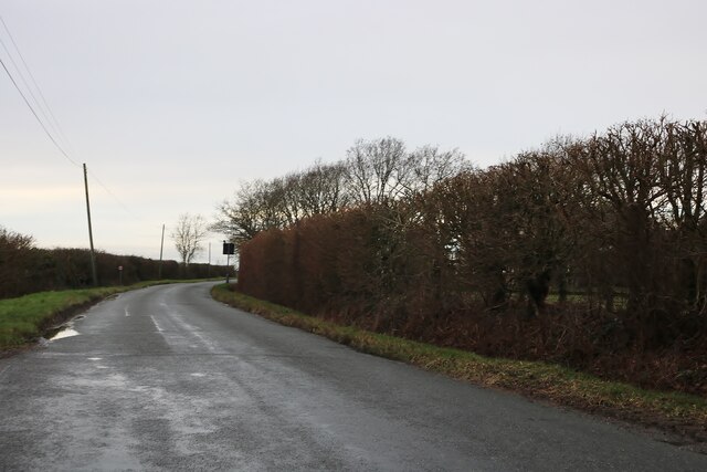
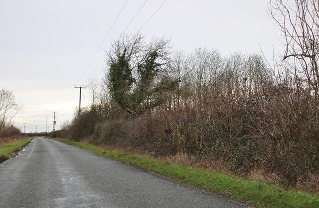
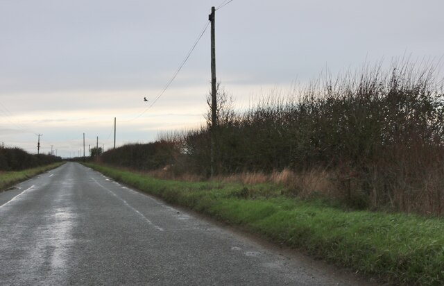
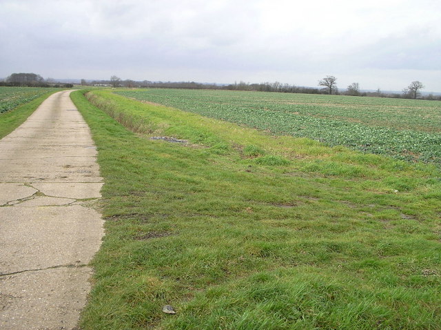
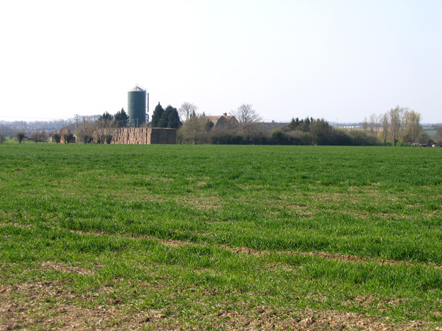
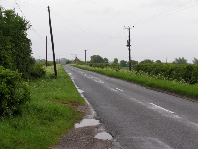
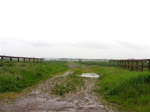
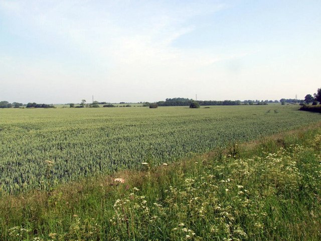
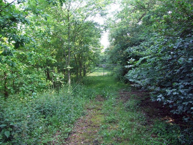
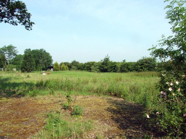
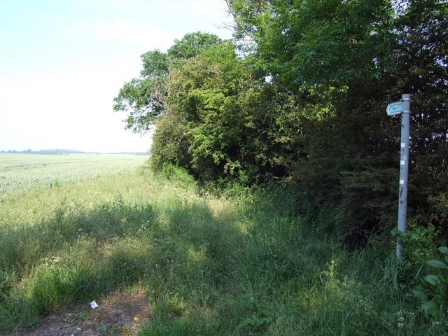
Ash Plantation is a woodland area located in Huntingdonshire, a county in the eastern region of England. The plantation is primarily composed of ash trees, hence its name. It covers an estimated area of approximately 200 acres and is situated within the larger landscape of Huntingdonshire.
The woodland is known for its rich biodiversity and serves as an important habitat for numerous plant and animal species. The ash trees, with their tall and slender trunks, provide a dense canopy that offers shade and shelter to a variety of woodland creatures. The undergrowth is characterized by a diverse range of plants, including wildflowers, ferns, and mosses.
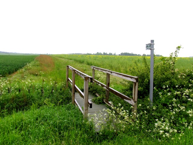
Ash Plantation is popular among nature enthusiasts, hikers, and birdwatchers, who frequent the area to explore its natural beauty and observe the wildlife. The woodland is home to a wide array of bird species, such as woodpeckers, owls, and various songbirds. Mammals like foxes, squirrels, and rabbits can also be spotted within the plantation.
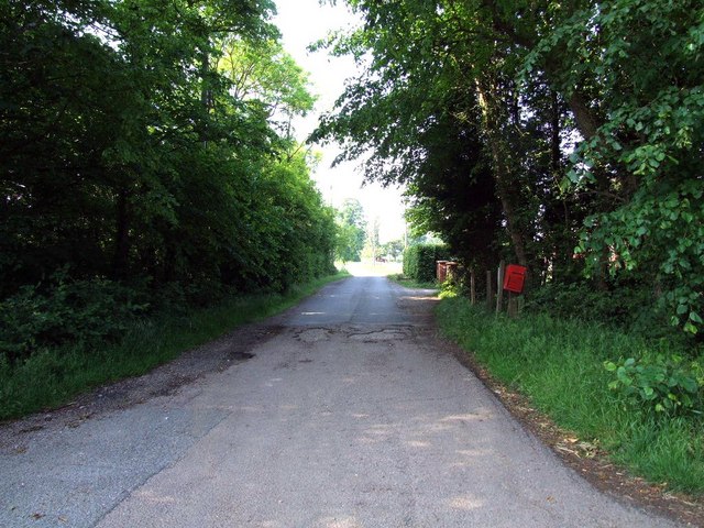
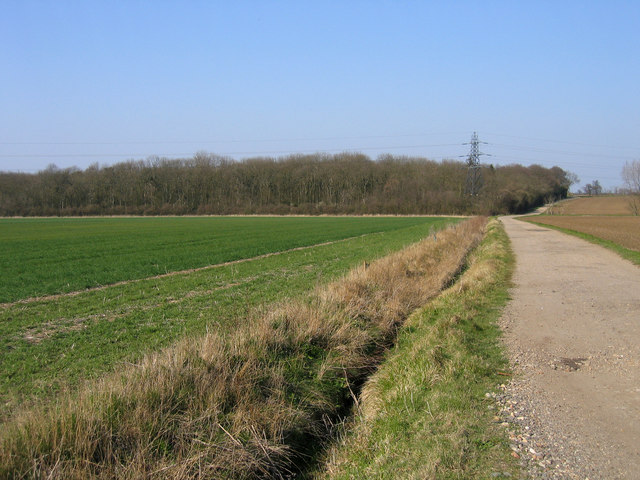
The woodland is well-maintained, with designated walking paths and trails that allow visitors to navigate through the plantation easily. The management of the area focuses on preserving the natural ecosystem and promoting sustainable practices. This includes selective tree felling to maintain a healthy woodland and encourage new growth.
Overall, Ash Plantation in Huntingdonshire offers a peaceful and serene environment for visitors to immerse themselves in nature and appreciate the beauty of a well-preserved woodland ecosystem.
If you have any feedback on the listing, please let us know in the comments section below.
Ash Plantation Images
Images are sourced within 2km of 52.232669/-0.20712908 or Grid Reference TL2260. Thanks to Geograph Open Source API. All images are credited.
Ash Plantation is located at Grid Ref: TL2260 (Lat: 52.232669, Lng: -0.20712908)
Administrative County: Cambridgeshire
District: Huntingdonshire
Police Authority: Cambridgeshire
What 3 Words
///ruling.windy.grape. Near Great Paxton, Cambridgeshire
Nearby Locations
Related Wikis
Toseland, Cambridgeshire
Toseland is a village and civil parish in Cambridgeshire, England. The name Toseland is Scandinavian and has connections to the Old Norse word 'lunde'...
Great Paxton
Great Paxton is a village and civil parish in Cambridgeshire, England lying 2.6 miles (4.2 km) north of St Neots in the Great Ouse river valley. The population...

Croxton, Cambridgeshire
Croxton is a village and civil parish about 13 miles (21 km) west of Cambridge in South Cambridgeshire, England. In 2001, the resident population was 163...

Wintringham
Wintringham is a community in the civil parish of St Neots, Cambridgeshire, England. It is located on the eastern side of the town, east of the East Coast...

St Neots Town F.C.
St Neots Town Football Club is an English semi-professional football club based in St Neots, Cambridgeshire. The club are currently members of the United...
1895 St. Neots rail accident
The St. Neots Derailment 1895 occurred near to St. Neots railway station on 10 November 1895 when a Great Northern Railway Scottish express from Kings...
St Neots railway station
St Neots railway station serves the town of St Neots in Cambridgeshire, England. It is located to the east of the town approximately 2 miles from the town...
Longsands Academy
Longsands Academy is a co-educational secondary school and sixth form with academy status, located in the town of St. Neots, Cambridgeshire, England. It...
Nearby Amenities
Located within 500m of 52.232669,-0.20712908Have you been to Ash Plantation?
Leave your review of Ash Plantation below (or comments, questions and feedback).