Gamsey Wood

Wood, Forest in Huntingdonshire Huntingdonshire

England

Gamsey Wood

Wood Walton, St Andrew
Wood Walton, St Andrew Credit: Dave Kelly

Gamsey Wood is a picturesque woodland located in Huntingdonshire, England. Covering an area of approximately 200 acres, it is known for its natural beauty and diverse wildlife. The wood is predominantly made up of mixed broadleaf trees, including oak, beech, and ash, which provide a stunning display of colors throughout the year.

The wood is home to a wide variety of wildlife, making it a popular destination for nature enthusiasts and birdwatchers. Visitors can spot a range of bird species, including woodpeckers, thrushes, and owls, as well as small mammals such as rabbits, squirrels, and foxes. The wood's tranquil atmosphere and abundance of flora and fauna make it an ideal location for peaceful walks and outdoor activities.

Gamsey Wood is well-maintained, with a network of clearly marked trails and paths that allow visitors to explore the area easily. The wood is also equipped with picnic areas and benches, providing ample opportunities to relax and enjoy the surroundings. Additionally, there are information boards scattered throughout the wood, providing interesting facts about the local flora and fauna, as well as the history of the area.

The wood is open to the public year-round, and there is no entry fee. It is easily accessible by both car and public transport, with ample parking available nearby. Gamsey Wood offers a serene escape from the bustle of city life and provides a perfect opportunity to immerse oneself in nature's beauty.

If you have any feedback on the listing, please let us know in the comments section below.
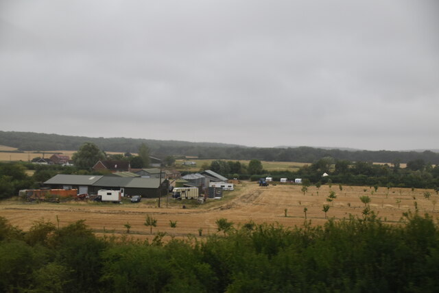
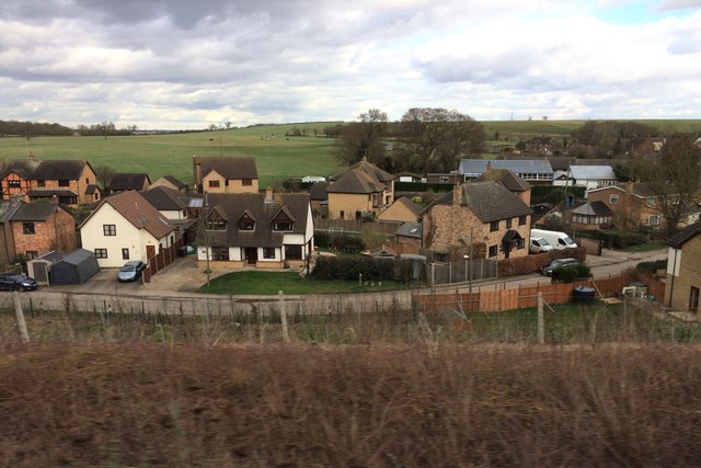
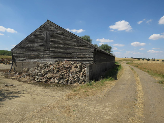
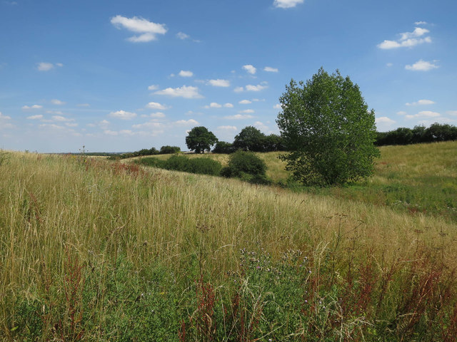
Gamsey Wood Images

Images are sourced within 2km of 52.418065/-0.20323555 or Grid Reference TL2281. Thanks to Geograph Open Source API. All images are credited.

Wood Walton, St Andrew
Red House Farm
Red House Farm
View from a Peterborough-London train - St. Andrew's church, Wood Walton Now disused. More details can be found at <span class="nowrap"><a title="http://friendsoffriendlesschurches.org.uk/wood-walton/" rel="nofollow ugc noopener" href="http://friendsoffriendlesschurches.org.uk/wood-walton/">Link</a><img style="margin-left:2px;" alt="External link" title="External link - shift click to open in new window" src="https://s1.geograph.org.uk/img/external.png" width="10" height="10"/></span> .
View from a Peterborough-London train - St. Andrew's church, Wood Walton
Now disused. More details can be found at LinkExternal link .
View from a Peterborough-London train - Fields around St. Andrew's church
View from a Peterborough-London train - Wood Walton
Bridleway to Little Wills Farm Past a gas pipeline marker
Bridleway to Little Wills Farm
Past a gas pipeline marker
Bridleway from Little Wills Farm
Ripe wheat field With harvesting starting towards the end of a long dry spell.
Ripe wheat field
With harvesting starting towards the end of a long dry spell.
Little Wills Farm
Little Wills Farm
Bridleway past Little Wills Farm
Grassy valley by Poplar Spinney In an otherwise arable area.
Grassy valley by Poplar Spinney
In an otherwise arable area.
Bridleway and wheat fields
Bridleway towards Wood Walton
Wheat field Looking down towards the Fens, with several wind turbines barely visible.
Wheat field
Looking down towards the Fens, with several wind turbines barely visible.
Bridleway past wheat field
Road from Red House Farm
Middle Level Catchwater Drain The footpath supposedly crosses the drain at this point, but without a bridge (or boat) that seems tricky. Situation was similar eleven years ago: <a href="https://www.geograph.org.uk/photo/389766">TL2182 : Middle Level Catchwater Drain</a>
Middle Level Catchwater Drain
The footpath supposedly crosses the drain at this point, but without a bridge (or boat) that seems tricky. Situation was similar eleven years ago: TL2182 : Middle Level Catchwater Drain
Middle Level Catchwater Drain Looking towards Woodwalton Fen.
Middle Level Catchwater Drain
Looking towards Woodwalton Fen.
Show me another place!

Gamsey Wood is located at Grid Ref: TL2281 (Lat: 52.418065, Lng: -0.20323555)

Administrative County: Cambridgeshire

District: Huntingdonshire

Police Authority: Cambridgeshire

What 3 Words

///float.buddy.ushering. Near Sawtry, Cambridgeshire

Nearby Locations

Gamsey Wood

Related Wikis

Gamsey Wood

Gamsey Wood is a 4 hectare nature reserve north-east of Woodwalton in Cambridgeshire. It is managed by the Wildlife Trust for Bedfordshire, Cambridgeshire...

Woodwalton

Wood Walton is a village and civil parish in Cambridgeshire, England. Wood Walton lies approximately 6 miles (10 km) north of Huntingdon and just east...

Woodwalton Marsh

Woodwalton Marsh is a 0.8-hectare (2.0-acre) biological Site of Special Scientific Interest north-east of Woodwalton in Cambridgeshire. It is managed by...

St Andrew's Church, Woodwalton

St Andrew's Church is a redundant Anglican church standing in an isolated position in fields about 2 kilometres (1.2 mi) to the north of the village of...

Related Videos

Bluebells - Raveley Woods

I'd ventured out to shoot Bluebells again in the same wood as a couple of years ago, but unfortunately it was inaccessible to let ...

Nearby Amenities

Located within 500m of 52.418065,-0.20323555
Power: pole
Lat/Long: 52.4138268/-0.2011713
Power: pole
Lat/Long: 52.4139086/-0.2045882
Power: pole
Lat/Long: 52.4138661/-0.2028609
Power: pole
Lat/Long: 52.4180112/-0.195989
Power: pole
Lat/Long: 52.4166405/-0.2017236
Power: pole
Lat/Long: 52.4168527/-0.2005322
Power: pole
Lat/Long: 52.4158319/-0.2065805
Power: pole
Lat/Long: 52.415991/-0.205476
Power: transformer
Lat/Long: 52.4177938/-0.1983816
Power: pole
Lat/Long: 52.4164028/-0.2029515
Power: pole
Lat/Long: 52.417671/-0.1969171
Power: pole
Lat/Long: 52.4173652/-0.1977861
Power: pole
Lat/Long: 52.4171099/-0.1991542
Power: pole
Lat/Long: 52.4155429/-0.2088341
Power: pole
Lat/Long: 52.4156748/-0.207691
The data included in this document is from www.openstreetmap.org. The data is made available under ODbL.

Have you been to Gamsey Wood?

Leave your review of Gamsey Wood below (or comments, questions and feedback).