Ash Plantation
Wood, Forest in Hertfordshire North Hertfordshire
England
Ash Plantation

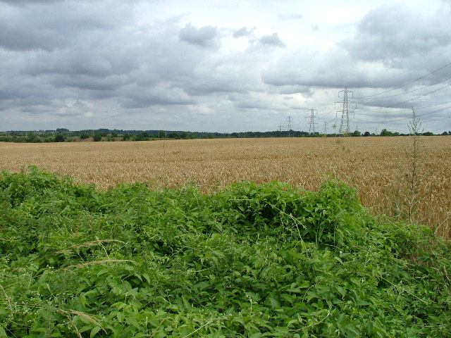
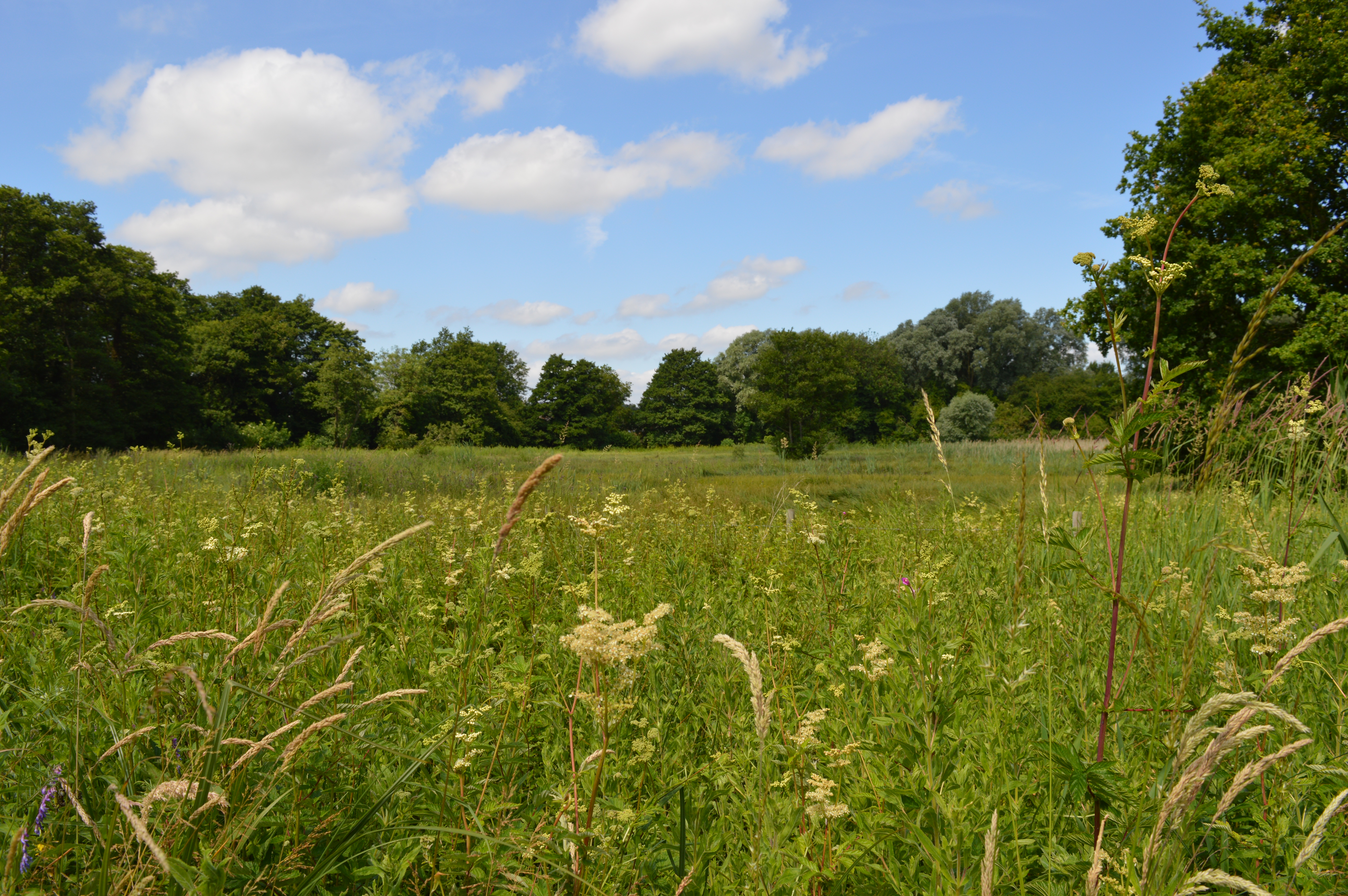
Ash Plantation is a picturesque woodland located in Hertfordshire, England. Covering an area of approximately 100 acres, it is a popular destination for nature enthusiasts and outdoor lovers alike. The plantation is primarily composed of ash trees, which lend their name to the site, creating a serene and tranquil atmosphere.
The woodland is home to a diverse range of flora and fauna, making it an ideal habitat for a variety of wildlife species. Visitors can expect to encounter numerous bird species, such as woodpeckers, owls, and finches, as well as small mammals like foxes and squirrels. The plantation is also abundant in plant life, including bluebells, ferns, and wildflowers, which provide a colorful and scenic backdrop throughout the year.
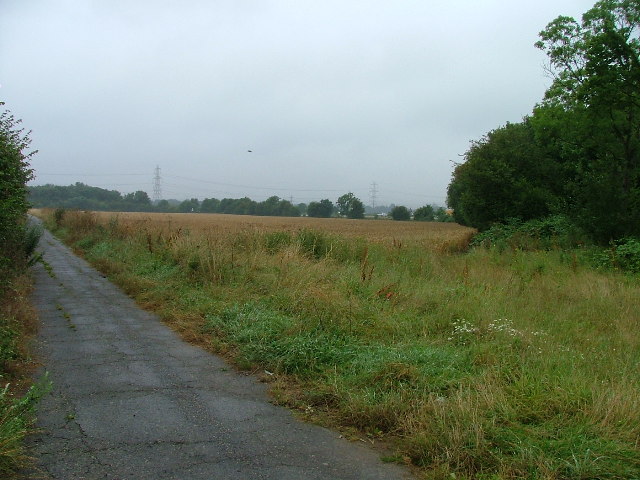
The site offers several well-maintained walking trails, allowing visitors to explore the beauty of the woodland at their own pace. These trails range in difficulty, catering to both casual strollers and more avid hikers. Along the way, there are designated picnic areas and benches where visitors can rest and take in the tranquil surroundings.
Ash Plantation is also a popular spot for recreational activities such as cycling and horseback riding. The wide paths and scenic routes make it an enjoyable destination for those seeking outdoor adventure. Additionally, the woodland is equipped with ample parking facilities to accommodate visitors.
Overall, Ash Plantation is a charming woodland retreat, offering a peaceful escape from the hustle and bustle of everyday life. With its natural beauty, diverse wildlife, and recreational opportunities, it is a must-visit destination for nature enthusiasts and those looking to immerse themselves in the beauty of Hertfordshire's woodlands.
If you have any feedback on the listing, please let us know in the comments section below.
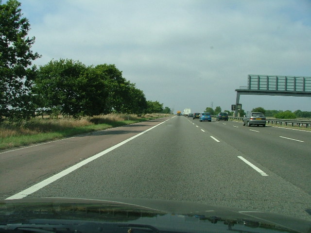
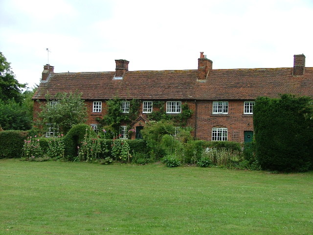
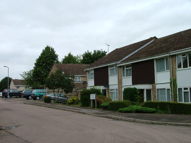
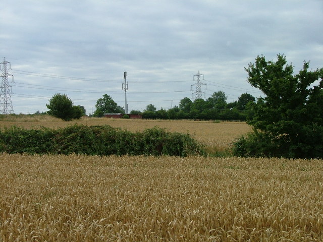
Ash Plantation Images
Images are sourced within 2km of 51.946358/-0.23573882 or Grid Reference TL2129. Thanks to Geograph Open Source API. All images are credited.


Ash Plantation is located at Grid Ref: TL2129 (Lat: 51.946358, Lng: -0.23573882)
Administrative County: Hertfordshire
District: North Hertfordshire
Police Authority: Hertfordshire
What 3 Words
///pass.sentences.icon. Near Hitchin, Hertfordshire
Nearby Locations
Related Wikis
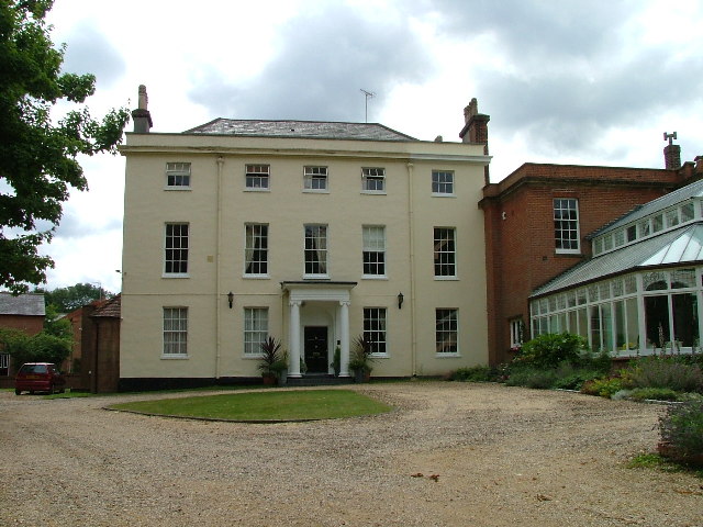
Great Wymondley
Great Wymondley is a village and former civil parish situated near Hitchin, now in the parish of Wymondley, in the North Hertfordshire district, in the...
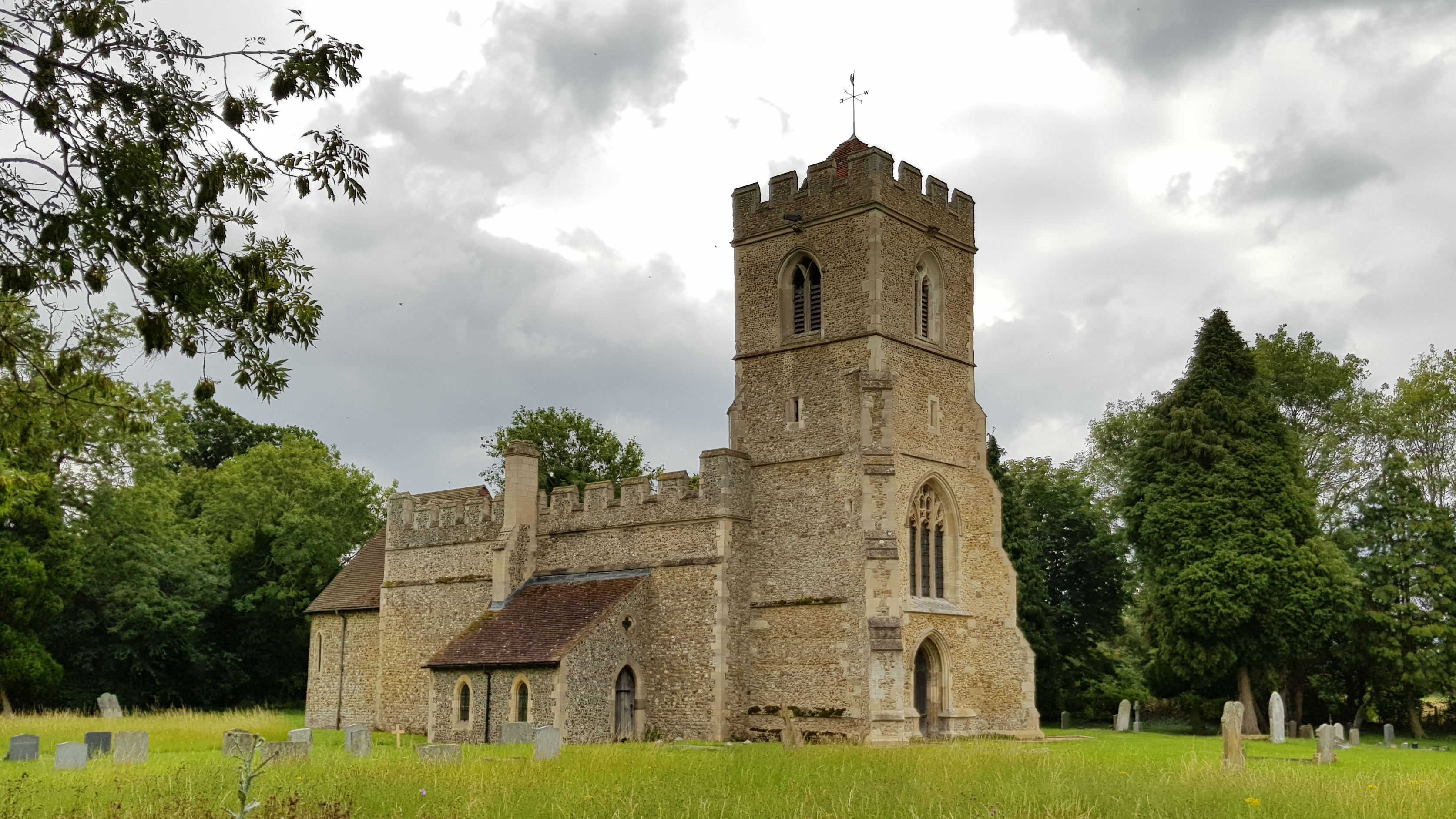
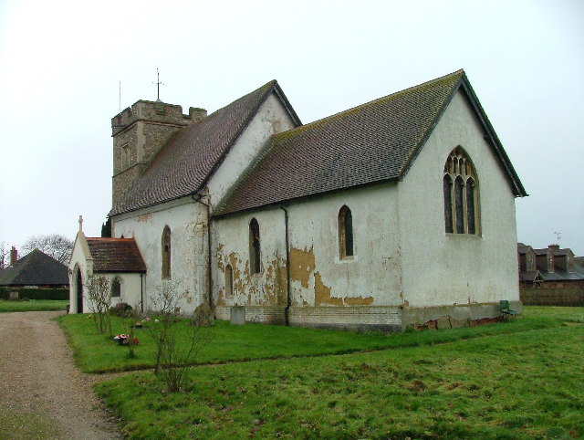
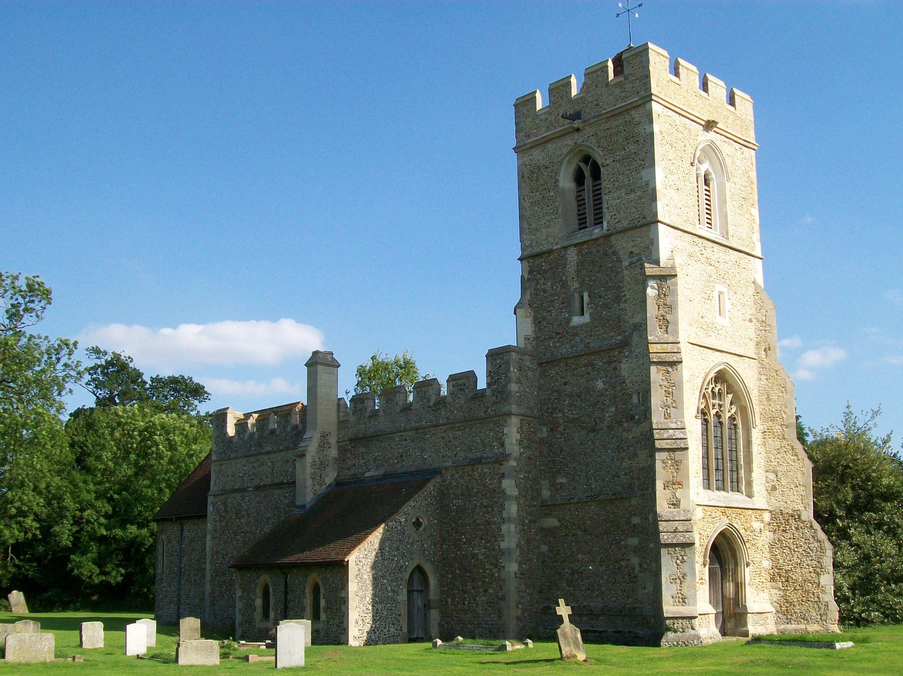
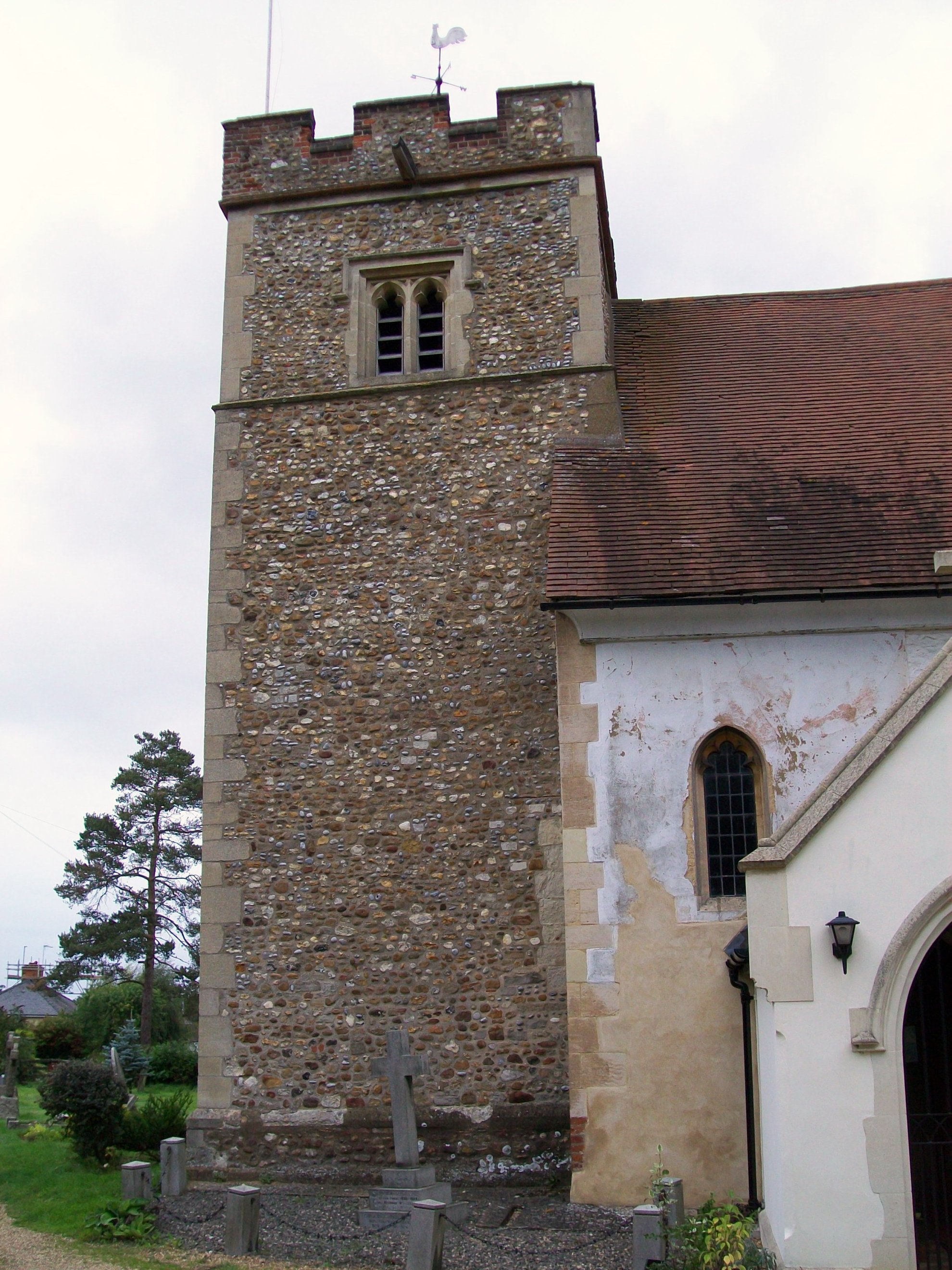
Church of St Mary the Virgin, Great Wymondley
St Mary's Church is an active Anglican church in Great Wymondley, Hertfordshire, England. It is a Grade I listed building. == History == In 1199, Reginald...

Wymondley Roman Villa
Wymondley Roman Villa is a ruined Roman villa near Hitchin, Hertfordshire, England. It is also known as Ninesprings Roman Villa. It is situated in the...
Purwell Ninesprings
Purwell Ninesprings is a 6.4-hectare (16-acre) nature reserve managed by the Herts and Middlesex Wildlife Trust on the edge of Hitchin, Hertfordshire...

Wymondley
Wymondley is a civil parish in Hertfordshire, England. The parish was created on 1 April 1937 as a merger of the two former parishes of Great Wymondley...
Poets Estate (Hitchin)
The Poets Estate is a residential area of Hitchin, Hertfordshire, England. It lies to the east of the town centre, based around St Michael's Road and the...

Purwell Meadows
Purwell Meadows is an 8.6-hectare (21-acre) nature reserve in Hitchin, Hertfordshire, England. It was declared a Local Nature Reserve in 1994. It is owned...
Little Wymondley
Little Wymondley is a village and former civil parish situated between Hitchin and Stevenage, now in the parish of Wymondley, in the North Hertfordshire...
Nearby Amenities
Located within 500m of 51.946358,-0.23573882Have you been to Ash Plantation?
Leave your review of Ash Plantation below (or comments, questions and feedback).