Furzefield Wood

Wood, Forest in Sussex Horsham

England

Furzefield Wood

Ghyll Manor Hotel, Rusper, West Sussex Originally a private house, this hotel now provides luxurious accommodation in a rural setting in the small village of Rusper.
Ghyll Manor Hotel, Rusper, West Sussex Credit: Pete Chapman

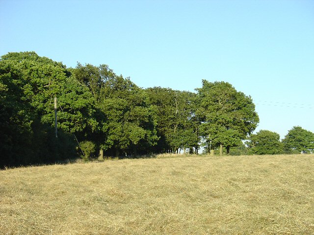
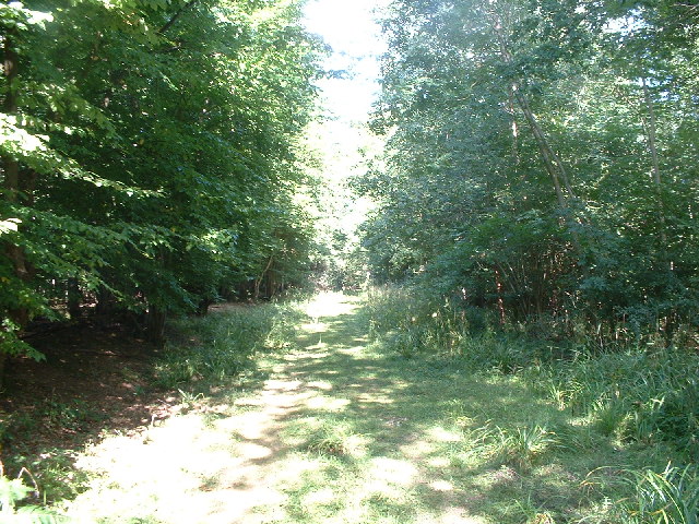
Furzefield Wood is a picturesque woodland located in Sussex, England. Covering an area of approximately 100 acres, it is a serene and tranquil haven for nature enthusiasts and visitors seeking solace in the beauty of the natural world.

The woodland is predominantly composed of an assortment of broadleaf trees, including oak, beech, and chestnut. These towering giants provide a dense canopy, casting dappled sunlight onto the forest floor below. The resulting microclimate supports a rich variety of flora and fauna, creating a thriving ecosystem.

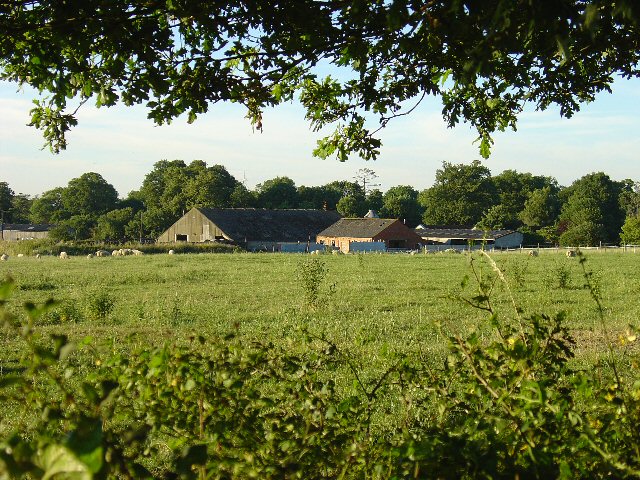
Walking through Furzefield Wood, one is greeted by a chorus of birdsong and the gentle rustle of leaves. The forest floor is carpeted with wildflowers, such as bluebells and primroses, adding bursts of color to the scenery. The woodland is also home to a diverse range of wildlife, including deer, foxes, and numerous species of birds and insects.

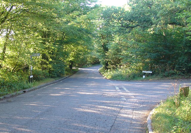
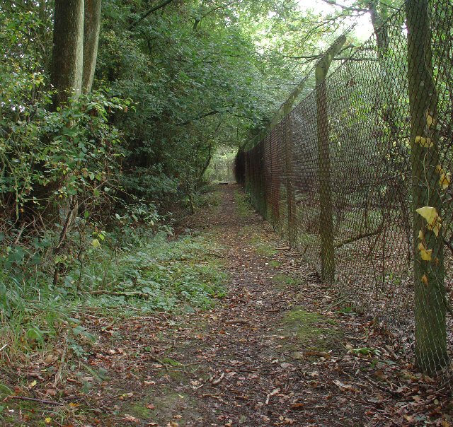
The wood offers several well-maintained trails, allowing visitors to explore its beauty at their own pace. These paths wind through ancient groves and lead to clearings where one can rest and absorb the peaceful ambiance. Additionally, there are designated picnic areas for visitors to enjoy a leisurely lunch amidst nature.

Furzefield Wood also serves as an educational resource, with informative signs and boards providing insight into the woodland's history, ecology, and conservation efforts. It is a popular destination for school field trips and nature walks, fostering a greater appreciation for the environment among both young and old.

Overall, Furzefield Wood is a captivating and enchanting woodland, offering a sanctuary for both nature lovers and those seeking respite from the hustle and bustle of daily life.

If you have any feedback on the listing, please let us know in the comments section below.

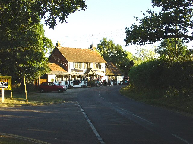
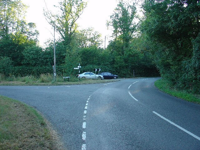
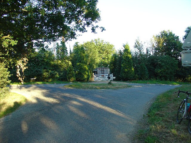
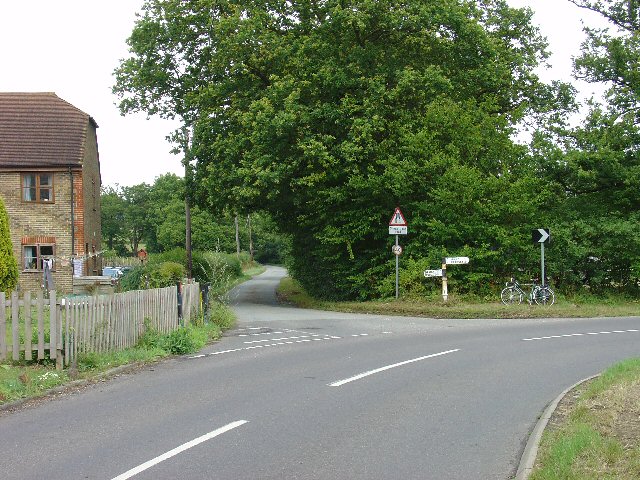
Furzefield Wood Images

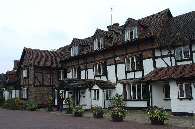
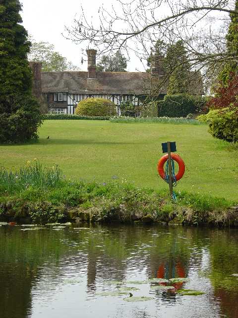
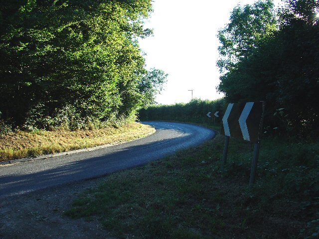
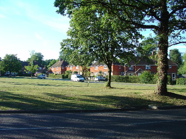
Images are sourced within 2km of 51.127226/-0.27250465 or Grid Reference TQ2037. Thanks to Geograph Open Source API. All images are credited.

Ghyll Manor Hotel, Rusper, West Sussex Originally a private house, this hotel now provides luxurious accommodation in a rural setting in the small village of Rusper.
Ghyll Manor Hotel, Rusper, West Sussex
Originally a private house, this hotel now provides luxurious accommodation in a rural setting in the small village of Rusper.
Pond in the grounds of Ghyll Manor Hotel, Rusper, West Sussex The grounds of the hotel include an ornamental pond with water lilies and large goldfish. The view shows the pond in the foreground, with the back of the main hotel building in the background
Pond in the grounds of Ghyll Manor Hotel, Rusper, West Sussex
The grounds of the hotel include an ornamental pond with water lilies and large goldfish. The view shows the pond in the foreground, with the back of the main hotel building in the background
Waffles Corner on the road between Rusper (West Sussex) and Capel (Surrey). Many such roads in this area. The rural population is quite high and these roads are often busy, hence quite wide and with lines down the middle.
Waffles Corner on the road between Rusper (West Sussex) and Capel (Surrey).
Many such roads in this area. The rural population is quite high and these roads are often busy, hence quite wide and with lines down the middle.
Houses at Gardeners Green, Rusper, West Sussex On the outskirts of the village of Rusper. This is a private estate of houses. This is an example of ribbon development along the existing rural roads. Viewed from Horsham Road looking N.
Houses at Gardeners Green, Rusper, West Sussex
On the outskirts of the village of Rusper. This is a private estate of houses. This is an example of ribbon development along the existing rural roads. Viewed from Horsham Road looking N.
Copse in Hay Field near Waffles Corner, Rusper, West Sussex One of many small patches of mature broadleaved woodland that are present in this area. The grass in this field has recently been cut for hay. Photo taken from the public footpath that runs by the copse E from Waffles Corner.
Copse in Hay Field near Waffles Corner, Rusper, West Sussex
One of many small patches of mature broadleaved woodland that are present in this area. The grass in this field has recently been cut for hay. Photo taken from the public footpath that runs by the copse E from Waffles Corner.
Junction of Partridge Lane and Rusper Road, Near Rusper, West Sussex. NB. This junction is just into Surrey.
The roads at this junction lead to Charlwood (Surrey), Newdigate (Surrey) and Rusper (West Sussex).
Junction of Partridge Lane and Rusper Road, Near Rusper, West Sussex.
NB. This junction is just into Surrey. The roads at this junction lead to Charlwood (Surrey), Newdigate (Surrey) and Rusper (West Sussex).
Road Junction at Orltons, Near Rusper, West Sussex A very distinctive building at the junction, right on the county boundary. The signpost indicates: Faygate; Charlwood; and Newdigate.
Road Junction at Orltons, Near Rusper, West Sussex
A very distinctive building at the junction, right on the county boundary. The signpost indicates: Faygate; Charlwood; and Newdigate.
Oaklands Park Farm, Between Rusper (W Sussex) and Charlwood (Surrey) Viewed from the public road running to the east of the farm. A livestock farm.
Oaklands Park Farm, Between Rusper (W Sussex) and Charlwood (Surrey)
Viewed from the public road running to the east of the farm. A livestock farm.
The Lamb Inn, Lambs Green, Near Rusper, West Sussex. A popular pub being well used on this summer Thursday evening.
The Lamb Inn, Lambs Green, Near Rusper, West Sussex.
A popular pub being well used on this summer Thursday evening.
Junction of Rusper Road, East Street, and Lambs Green, near Lambs Green, Rusper, west Sussex. One of two road junctions on the road that runs through this grid square.
Junction of Rusper Road, East Street, and Lambs Green, near Lambs Green, Rusper, west Sussex.
One of two road junctions on the road that runs through this grid square.
Junction of Longhurst Lane, Orltons Lane, and The Mount at Langhurst, near Rusper, West Sussex Typical rural N Sussex road junction. There is a pond behind the trees on the left. Photo taken looking south.
Junction of Longhurst Lane, Orltons Lane, and The Mount at Langhurst, near Rusper, West Sussex
Typical rural N Sussex road junction. There is a pond behind the trees on the left. Photo taken looking south.
The Gate Public House, between Rusper and Ifield, West Sussex Relatively isolated, but well frequented. Quiz nights every other Wednesday!
The Gate Public House, between Rusper and Ifield, West Sussex
Relatively isolated, but well frequented. Quiz nights every other Wednesday!
Junction of Rusper Road and Longhurst Lane near Rusper, West Sussex A typical rural road junction (and only one in this grid square).
Junction of Rusper Road and Longhurst Lane near Rusper, West Sussex
A typical rural road junction (and only one in this grid square).
Jordan's Wood Site of an air-crash involving the Turkish prime-minister on 17/02/1959.  He survived, but he was one of only ten of the twenty-two passengers and crew on board the Turkish Government aircraft that did.
Jordan's Wood
Site of an air-crash involving the Turkish prime-minister on 17/02/1959. He survived, but he was one of only ten of the twenty-two passengers and crew on board the Turkish Government aircraft that did.
Humorous signpost
Humorous signpost
T-junction on Sussex border at the top of Orltons Lane
Public Footpath to Ifield at Lambs Green, West Sussex This path starts at Lambs Green next to The Lamb public house. The early part of the route (shown here) passes between two fences in a wooded area. View taken looking N (back towards Lambs Green).
Public Footpath to Ifield at Lambs Green, West Sussex
This path starts at Lambs Green next to The Lamb public house. The early part of the route (shown here) passes between two fences in a wooded area. View taken looking N (back towards Lambs Green).
The Plough Inn, Rusper. A fine, old, weather-boarded village pub.
The Plough Inn, Rusper.
A fine, old, weather-boarded village pub.
Show me another place!

Furzefield Wood is located at Grid Ref: TQ2037 (Lat: 51.127226, Lng: -0.27250465)

Administrative County: West Sussex

District: Horsham

Police Authority: Sussex

What 3 Words

///rides.custom.future. Near Capel, Surrey

Nearby Locations

Rusper Furzefield Wood

Related Wikis

Rusper

Rusper is a village and civil parish in the Horsham District of West Sussex, England. It lies 4.1 miles (6.6 km) north of the town of Horsham and 4.2 miles...

Lambs Green

Lambs Green is a hamlet in the civil parish of Rusper and the Horsham District of West Sussex, England. It lies on the Rusper to Ifield road 3.1 miles...

House Copse

House Copse is a 12.5-hectare (31-acre) biological Site of Special Scientific Interest west of Crawley in West Sussex.This ancient wood was formerly managed...

Glover's Wood

Glover's Wood is a 74.5-hectare (184-acre) biological Site of Special Scientific Interest east of Charlwood in Surrey. It is a Nature Conservation Review...

Kilnwood Vale railway station

Kilnwood Vale is a proposed railway station in Kilnwood Vale, Horsham, West Sussex which would serve the neighbourhoods of Kilnwood Vale and Bewbush. The...

Clock House Brickworks

Clock House Brickworks is a 35.9-hectare (89-acre) geological Site of Special Scientific Interest south of Capel in Surrey. It is a Geological Conservation...

Faygate railway station

Faygate Station is located on the Arun Valley Line, between Littlehaven and Ifield, 34 miles 28 chains (55.3 km) down the line from London Bridge, measured...

Faygate

Faygate is a village in the Horsham district of West Sussex, England. It lies on the A264 road 3.4 miles (5.4 km) south west of Crawley. It has a railway...

Nearby Amenities

Located within 500m of 51.127226,-0.27250465
Barrier: stile
Lat/Long: 51.1314364/-0.2717732
Barrier: kissing_gate
Lat/Long: 51.1235529/-0.2758581
Nutshell Farm
Place: farm
Lat/Long: 51.1294784/-0.2772673
Cophatch Corner
Place: locality
Lat/Long: 51.1303817/-0.2774718
Cophatch Farm
Place: farm
Lat/Long: 51.1305517/-0.2756499
Power: pole
Source: gps;Bing
Lat/Long: 51.123765/-0.2726466
Power: pole
Source: gps;Bing
Lat/Long: 51.1243744/-0.2750337
Power: pole
Source: gps;Bing
Lat/Long: 51.1241993/-0.2738428
Rusper House
Place: locality
Lat/Long: 51.127767/-0.274714
Barrier: stile
Lat/Long: 51.1306582/-0.2739165
The data included in this document is from www.openstreetmap.org. The data is made available under ODbL.

Have you been to Furzefield Wood?

Leave your review of Furzefield Wood below (or comments, questions and feedback).