Ash Plantation
Wood, Forest in Huntingdonshire Huntingdonshire
England
Ash Plantation
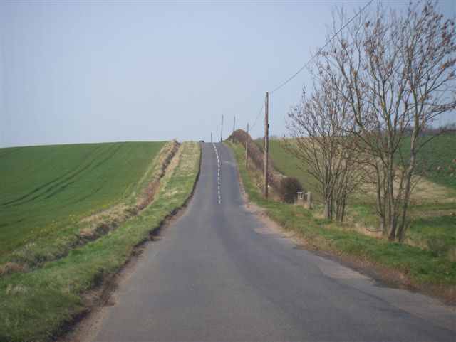
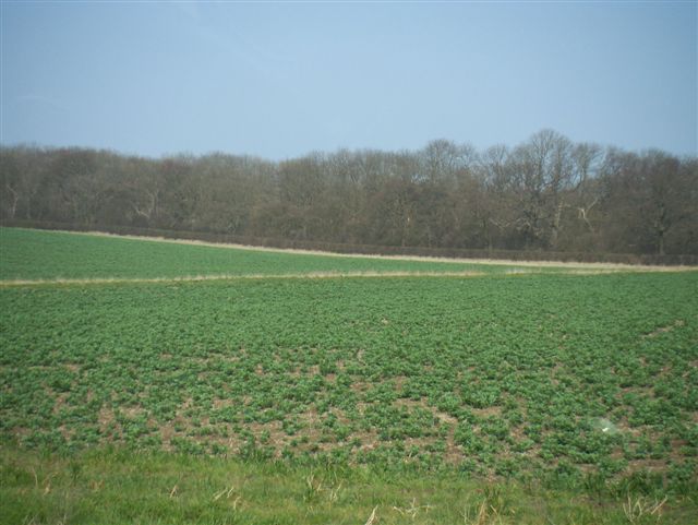
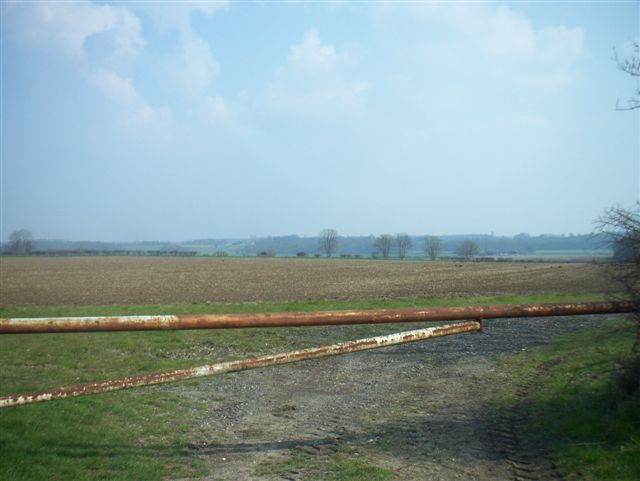
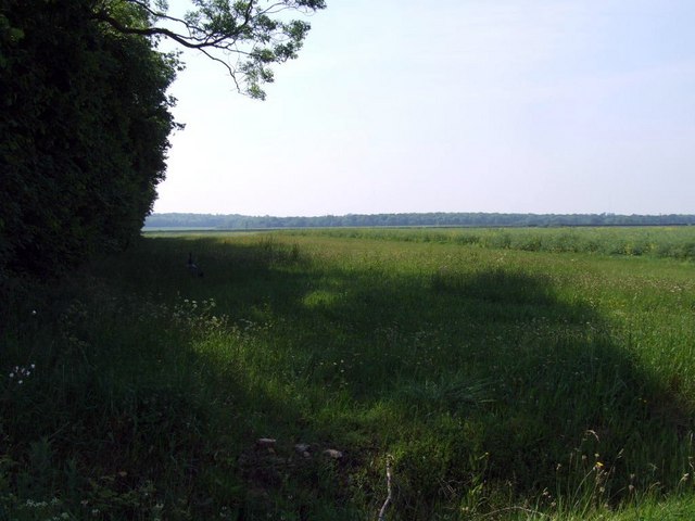
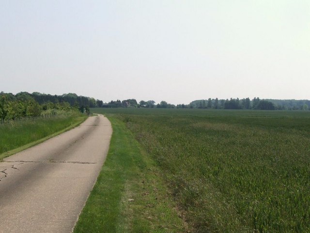
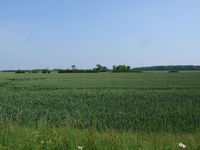
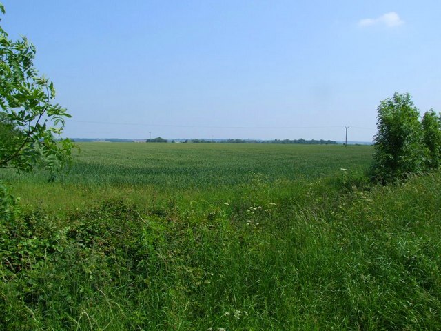
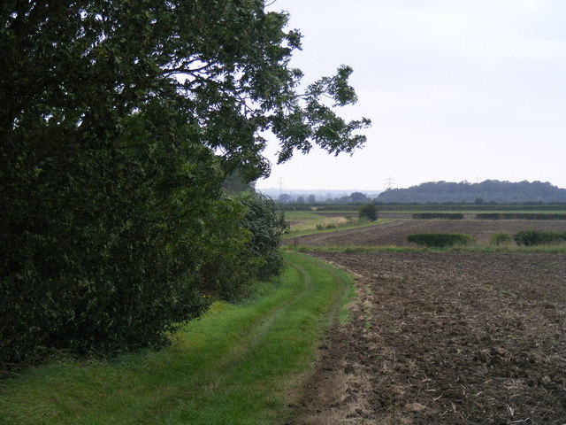
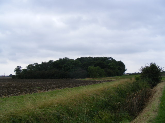
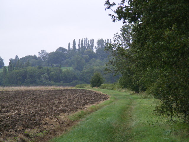
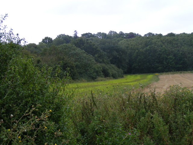
Ash Plantation is a dense forest located in Huntingdonshire, a county in the eastern part of England. Covering an area of approximately 500 acres, the woodland is predominantly made up of ash trees, from which it derives its name. The plantation is situated amidst rolling hills and picturesque landscapes, making it an ideal destination for nature enthusiasts and outdoor activities.
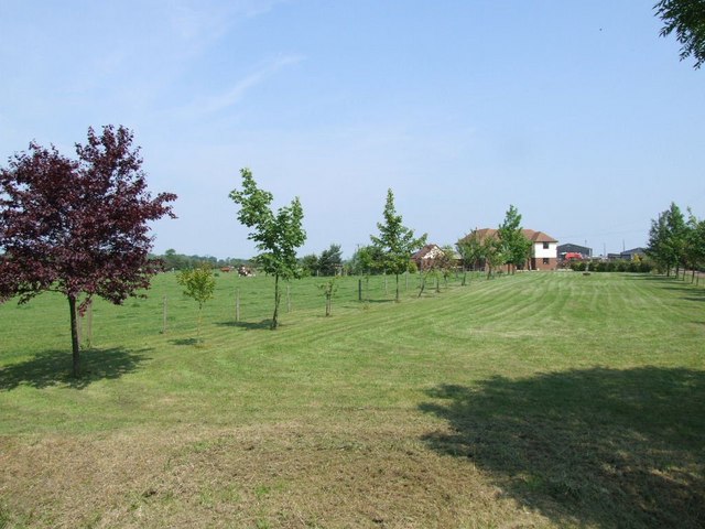
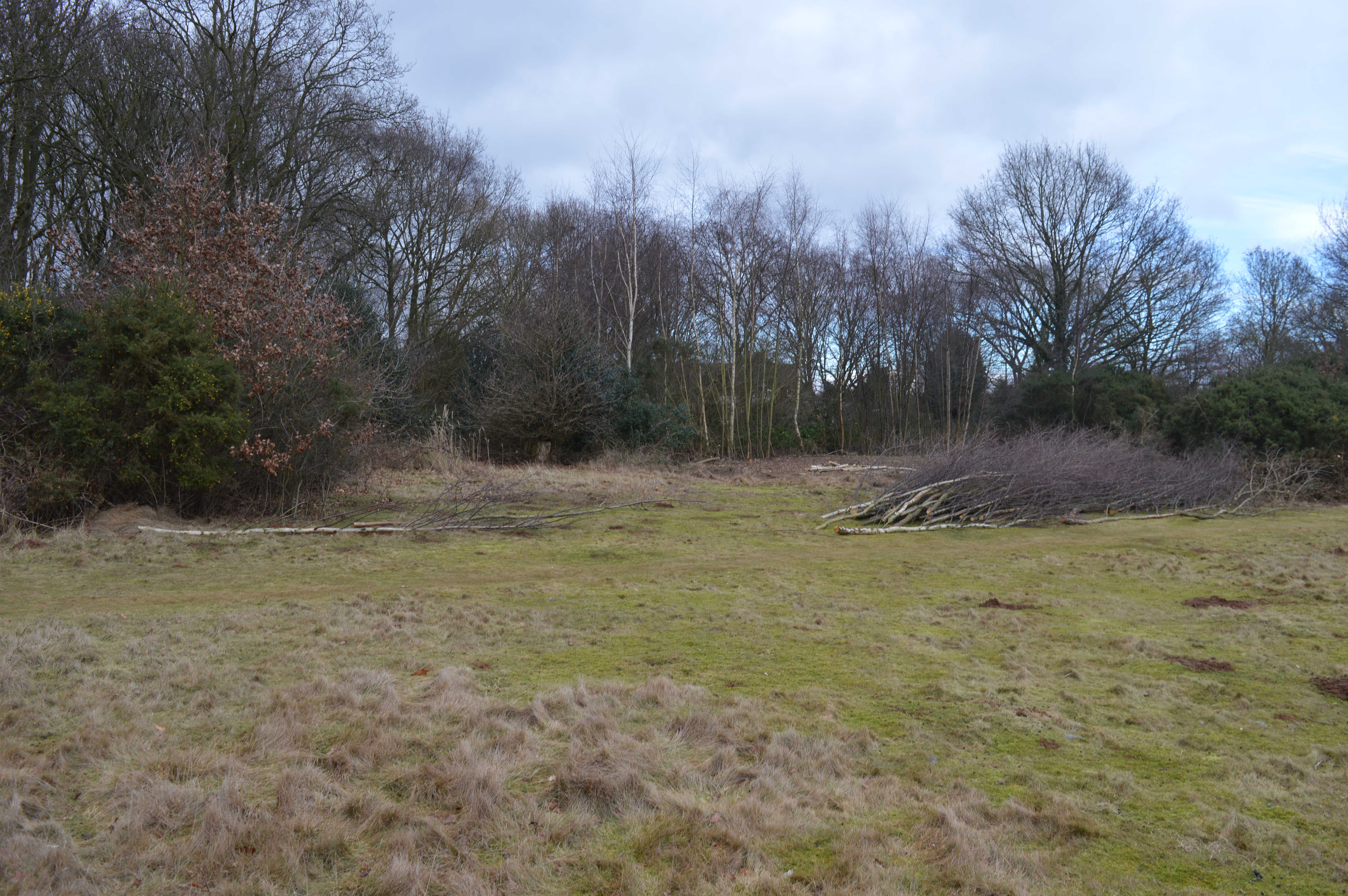
The forest boasts a rich biodiversity, housing a variety of flora and fauna. Apart from ash trees, the woodland consists of other tree species such as oak, birch, and beech, creating a diverse ecosystem. The dense canopy formed by these trees provides ample shade and shelter for a range of wildlife, including deer, foxes, badgers, and numerous bird species.
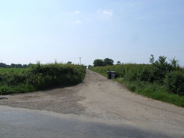
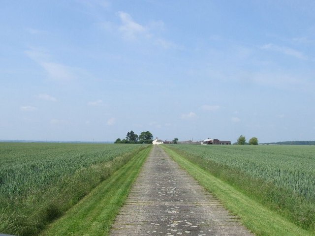
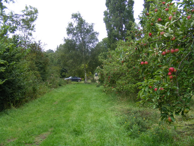
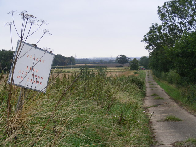
Visitors to Ash Plantation can explore the forest through a network of well-maintained trails and paths, which offer opportunities for hiking, jogging, and cycling. The trails vary in length and difficulty, catering to both casual strollers and avid adventurers. Along the way, visitors can enjoy the tranquility of the forest and immerse themselves in its natural beauty.
The plantation is also a popular destination for birdwatching, with several bird hides strategically placed throughout the woodland. Here, bird enthusiasts can observe a diverse array of species, including woodpeckers, owls, and various migratory birds.
Ash Plantation is managed by the local forestry commission, which ensures the preservation of its natural habitats and the sustainability of its resources. The forest serves as an important recreational area, providing a peaceful retreat for both locals and tourists alike.
If you have any feedback on the listing, please let us know in the comments section below.
Ash Plantation Images
Images are sourced within 2km of 52.177723/-0.23218503 or Grid Reference TL2054. Thanks to Geograph Open Source API. All images are credited.
Ash Plantation is located at Grid Ref: TL2054 (Lat: 52.177723, Lng: -0.23218503)
Administrative County: Cambridgeshire
District: Huntingdonshire
Police Authority: Cambridgeshire
What 3 Words
///appeal.hobbyists.removed. Near Gamlingay, Cambridgeshire
Nearby Locations
Related Wikis

Weaveley and Sand Woods
Weaveley and Sand Woods is a 62.0-hectare (153-acre) biological Site of Special Scientific Interest north of Gamlingay in Cambridgeshire.This site has...

Eynesbury Hardwicke
Eynesbury Hardwicke is a former civil parish, now in the parishes of Abbotsley and St Neots, in the Huntingdonshire part of Cambridgeshire, England. At...
Tetworth
Tetworth is a village and former civil parish, now in the parish of Waresley-cum-Tetworth, in Cambridgeshire, England. Tetworth lies approximately 12 miles...
Gamlingay Cinques
Gamlingay Cinques is a 3.4-hectare (8.4-acre) nature reserve in Gamlingay in Cambridgeshire. It is managed by the Wildlife Trust for Bedfordshire, Cambridgeshire...

Abbotsley
Abbotsley is a village and civil parish within the Huntingdonshire district of Cambridgeshire, England. It is three miles from St Neots and 14 miles from...

St Margaret's Church, Abbotsley
St Margaret's Church is a historic Anglican church in the village of Abbotsley, Cambridgeshire, England. It is recorded in the National Heritage List...

Tempsford railway station
Tempsford railway station was a railway station built by the Great Northern Railway to serve the village of Tempsford in Bedfordshire, England. == History... ==

RAF Tempsford
RAF Tempsford is a former Royal Air Force station located 2.3 miles (3.7 km) north east of Sandy, Bedfordshire, England and 4.4 miles (7.1 km) south of...
Nearby Amenities
Located within 500m of 52.177723,-0.23218503Have you been to Ash Plantation?
Leave your review of Ash Plantation below (or comments, questions and feedback).