Budd's Copse

Wood, Forest in Sussex Horsham

England

Budd's Copse

Level Crossing (Horsham-Crawley line), Wimland Road, Faygate, West Sussex An automatic (un-manned) rural level crossing on this railway line, which connects Horsham to the London Victoria terminus, via Three Bridges.
Level Crossing (Horsham-Crawley line), Wimland Road, Faygate, West Sussex Credit: Pete Chapman

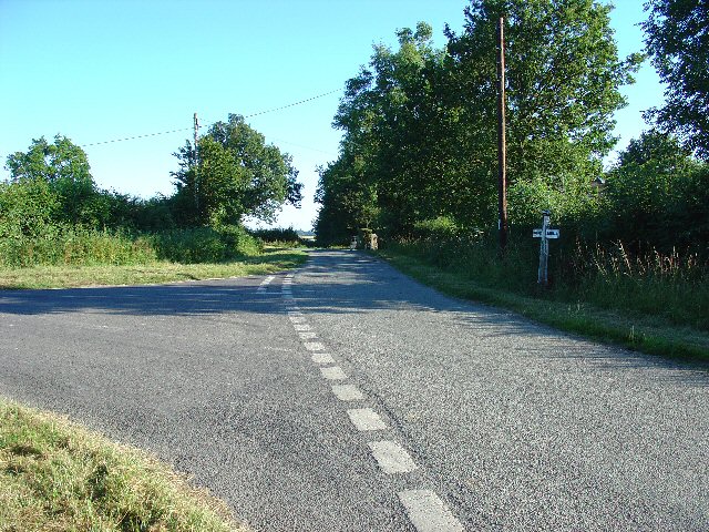
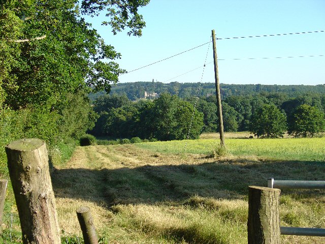
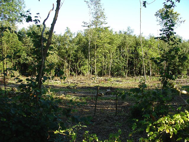
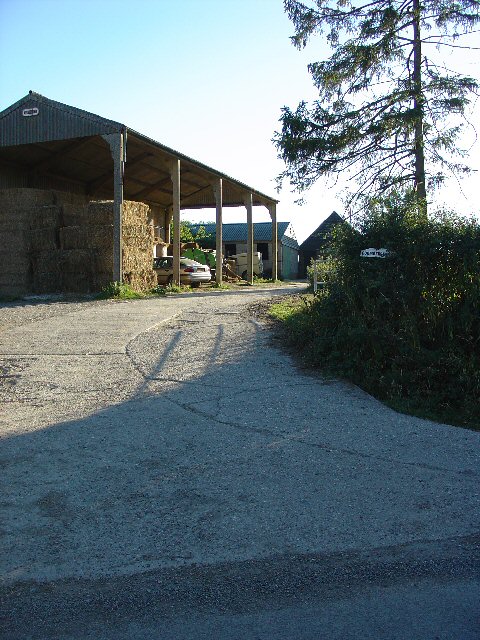
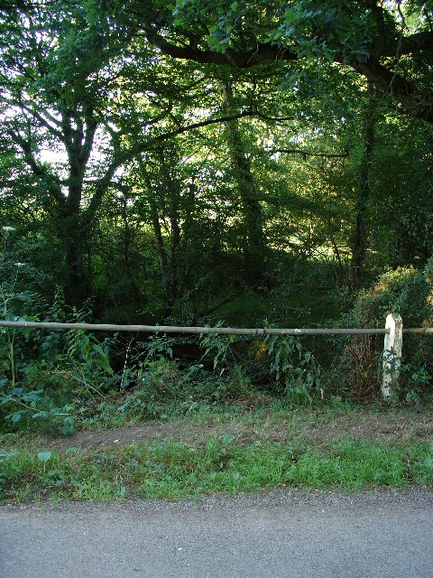
Budd's Copse is a picturesque woodland situated in Sussex, England. Covering an area of approximately 200 acres, it is nestled within the peaceful countryside and offers a serene escape from the bustling city life. The copse is known for its diverse range of trees, including oak, beech, birch, and pine, creating a rich and vibrant canopy overhead.

The woodland is home to a variety of wildlife, making it a popular spot for nature enthusiasts and birdwatchers. Visitors may catch a glimpse of deer gracefully roaming through the undergrowth or hear the delightful melodies of songbirds perched on tree branches. The tranquil atmosphere and abundance of nature make Budd's Copse an ideal location for those seeking solitude and a connection with the natural world.

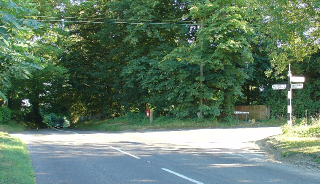
The copse is meticulously maintained by local conservation groups, ensuring the preservation of its natural beauty and biodiversity. Walking trails crisscross the woodland, providing visitors with the opportunity to explore its enchanting nooks and crannies. These paths wind through the ancient trees, offering glimpses of wildflowers, ferns, and moss-covered logs along the way.

Budd's Copse holds historical significance as well, with remnants of ancient settlements and old boundary markers scattered throughout the woodland. These archaeological features add an extra layer of intrigue to the already captivating atmosphere.

Whether one seeks a peaceful stroll amidst nature, a chance to observe wildlife, or a glimpse into the region's history, Budd's Copse offers an idyllic destination for all nature enthusiasts and lovers of the great outdoors.

If you have any feedback on the listing, please let us know in the comments section below.

Budd's Copse Images

Images are sourced within 2km of 51.096746/-0.2741264 or Grid Reference TQ2034. Thanks to Geograph Open Source API. All images are credited.

Level Crossing (Horsham-Crawley line), Wimland Road, Faygate, West Sussex An automatic (un-manned) rural level crossing on this railway line, which connects Horsham to the London Victoria terminus, via Three Bridges.
Level Crossing (Horsham-Crawley line), Wimland Road, Faygate, West Sussex
An automatic (un-manned) rural level crossing on this railway line, which connects Horsham to the London Victoria terminus, via Three Bridges.
The Cherry Tree Public House, Near Faygate, West Sussex. A wayside inn on the N side of the A264 dual carriageway
The Cherry Tree Public House, Near Faygate, West Sussex.
A wayside inn on the N side of the A264 dual carriageway
Faygate Station, Faygate, West Sussex Not pretty, but functional. The small village of Faygate is surprisingly industrial (easy access to the railway and main A264 road probably the reason) for its location and the station fits in with the theme. On the Line between Horsham and Crawley (London Victoria - Littlehampton/Bognor Regis)
Faygate Station, Faygate, West Sussex
Not pretty, but functional. The small village of Faygate is surprisingly industrial (easy access to the railway and main A264 road probably the reason) for its location and the station fits in with the theme. On the Line between Horsham and Crawley (London Victoria - Littlehampton/Bognor Regis)
Gate house to the Holmbush estate, off A264, between Crawley and Horsham The gatehouse to the original main drive up to the house on the Holmwood estate.
Gate house to the Holmbush estate, off A264, between Crawley and Horsham
The gatehouse to the original main drive up to the house on the Holmwood estate.
Wimland Farm, Near Faygate, West Sussex A standard sized farmstead for the area, and one where farming appears to still be the main activity. Small pond behind the bushes on the left. View taken from the public road immediately to the N.
Wimland Farm, Near Faygate, West Sussex
A standard sized farmstead for the area, and one where farming appears to still be the main activity. Small pond behind the bushes on the left. View taken from the public road immediately to the N.
Phone Mast, Wimland Farm, Near Faygate, West Sussex Phone mast in amongst the farm buildings of the main farmstead.
Phone Mast, Wimland Farm, Near Faygate, West Sussex
Phone mast in amongst the farm buildings of the main farmstead.
Road Junction near Wimland Farm, Faygate, West Sussex All narrow (single track) roads. The sign was a bit dilapidated - the central limb (to Faygate) was missing.
Road Junction near Wimland Farm, Faygate, West Sussex
All narrow (single track) roads. The sign was a bit dilapidated - the central limb (to Faygate) was missing.
Road Junction, Near Carylls Lea, Faygate, West Sussex The metalled bridleway (see square TQ2235) comes out at this junction. Directions go to Faygate, Wimland, and Rusper.
Road Junction, Near Carylls Lea, Faygate, West Sussex
The metalled bridleway (see square TQ2235) comes out at this junction. Directions go to Faygate, Wimland, and Rusper.
Field adjacent to bridleway near Carylls Lea junction, Faygate, West Sussex This corner of the field is in the SW corner of the grid square, but there were several similar open fields on either side of the public right of way (which runs along a metalled farm track at this point). The view looks down across the wide shallow valley that the A264 Crawley-Horsham road runs through. In the distance, the large house of the Holmwood estate can just be made out on the far hillside. To the Left (E) of the field is a small wood. View taken looking SSE from the bridleway.
Field adjacent to bridleway near Carylls Lea junction, Faygate, West Sussex
This corner of the field is in the SW corner of the grid square, but there were several similar open fields on either side of the public right of way (which runs along a metalled farm track at this point). The view looks down across the wide shallow valley that the A264 Crawley-Horsham road runs through. In the distance, the large house of the Holmwood estate can just be made out on the far hillside. To the Left (E) of the field is a small wood. View taken looking SSE from the bridleway.
Woodland S of bridleway between Ifield West (Crawley) and Carylls Lea junction (Faygate), West Sussex. One of many small pieces of woodland that are scattered over this part of rural Sussex. This wood is adjacent to the field in one of the other photos for this square. Mainly young deciduous trees, this area recently cleared.
Woodland S of bridleway between Ifield West (Crawley) and Carylls Lea junction (Faygate), West Sussex.
One of many small pieces of woodland that are scattered over this part of rural Sussex. This wood is adjacent to the field in one of the other photos for this square. Mainly young deciduous trees, this area recently cleared.
Barn at Coombers Farm, Faygate, West Sussex Many of the farms marked on the map in this area have now become solely residential properties, with no indication of any farming activity. Coombers Farm, however, has this sturdy (and used) modern style barn.
Barn at Coombers Farm, Faygate, West Sussex
Many of the farms marked on the map in this area have now become solely residential properties, with no indication of any farming activity. Coombers Farm, however, has this sturdy (and used) modern style barn.
Tributary of River Mole, Near Coombers Farm, Faygate, West Sussex. The River Mole is one of the main rivers in the area. This is a very young tributary. The stream runs through a narrow strip of trees for around 2km at this point. See the River Mole again in grid square TQ2337.
Tributary of River Mole, Near Coombers Farm, Faygate, West Sussex.
The River Mole is one of the main rivers in the area. This is a very young tributary. The stream runs through a narrow strip of trees for around 2km at this point. See the River Mole again in grid square TQ2337.
Bus stop and road approaching Faygate northbound The bus stop hut has now been taken down after the car above managed to "park" itself within!
Bus stop and road approaching Faygate northbound
The bus stop hut has now been taken down after the car above managed to "park" itself within!
Covered Reservoir, Forest Road, between Colgate and Horsham, West Sussex A covered water reservoir on the N side of Forest Road. At approx 120m above sea level, the reservoir is located on a ridge above Horsham.
Covered Reservoir, Forest Road, between Colgate and Horsham, West Sussex
A covered water reservoir on the N side of Forest Road. At approx 120m above sea level, the reservoir is located on a ridge above Horsham.
Piggies! Litter of pigs at Holmbush Farm World <span class="nowrap"><a title="http://www.holmbushfarm.co.uk/farmworld/index1.php" rel="nofollow ugc noopener" href="http://www.holmbushfarm.co.uk/farmworld/index1.php">Link</a><img style="margin-left:2px;" alt="External link" title="External link - shift click to open in new window" src="https://s1.geograph.org.uk/img/external.png" width="10" height="10"/></span>.
Piggies!
Litter of pigs at Holmbush Farm World LinkExternal link.
The Frog and Nightgown An extraordinary pub - it's a window into the past.
The Frog and Nightgown
An extraordinary pub - it's a window into the past.
Tower Road, Colgate Looking north-west towards Faygate through Holmbush Forest.
Tower Road, Colgate
Looking north-west towards Faygate through Holmbush Forest.
Discarded bathtub Flytipped in Holmbush Forest by Tower Road.
Discarded bathtub
Flytipped in Holmbush Forest by Tower Road.
Show me another place!

Budd's Copse is located at Grid Ref: TQ2034 (Lat: 51.096746, Lng: -0.2741264)

Administrative County: West Sussex

District: Horsham

Police Authority: Sussex

What 3 Words

///reporter.health.atom. Near Bewbush, West Sussex

Related Wikis

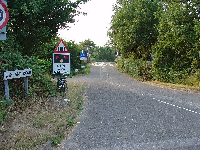
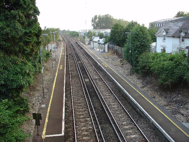
Faygate railway station

Faygate Station is located on the Arun Valley Line, between Littlehaven and Ifield, 34 miles 28 chains (55.3 km) down the line from London Bridge, measured...

Faygate

Faygate is a village in the Horsham district of West Sussex, England. It lies on the A264 road 3.4 miles (5.4 km) south west of Crawley. It has a railway...

Roffey Road Halt railway station

Roffey Road Halt is a now disused station on the Arun Valley Line in West Sussex, England and was the second station north from Horsham on the stretch...

North Horsham railway station

North Horsham is a proposed railway station in Horsham, West Sussex which would serve the North Horsham Business Park. The proposal was backed by West...

Bohunt Horsham

Bohunt Horsham is a coeducational all-through school located in Horsham, West Sussex, England. The school opened to 120 students in Year 7 in 2019 in temporary...

Roffey F.C.

Roffey F.C. is an English football club located in Roffey, Horsham in West Sussex. The club are currently members of the Southern Combination Division...

House Copse

House Copse is a 12.5-hectare (31-acre) biological Site of Special Scientific Interest west of Crawley in West Sussex.This ancient wood was formerly managed...

Kilnwood Vale

Kilnwood Vale is part of the Horsham district of West Sussex, England. It borders the High Weald Area of Outstanding Natural Beauty along the A264 east...

Nearby Amenities

Located within 500m of 51.096746,-0.2741264
Barrier: stile
Foot: yes
Lat/Long: 51.0944151/-0.2767824
Wimland Farm
Place: farm
Lat/Long: 51.1006555/-0.2747014
Budd's Farm
Place: farm
Lat/Long: 51.0952115/-0.2759888
The data included in this document is from www.openstreetmap.org. The data is made available under ODbL.

Have you been to Budd's Copse?

Leave your review of Budd's Copse below (or comments, questions and feedback).