Greenbroom Copse

Wood, Forest in Sussex Horsham

England

Greenbroom Copse

Level Crossing (Horsham-Crawley line), Wimland Road, Faygate, West Sussex An automatic (un-manned) rural level crossing on this railway line, which connects Horsham to the London Victoria terminus, via Three Bridges.
Level Crossing (Horsham-Crawley line), Wimland Road, Faygate, West Sussex Credit: Pete Chapman

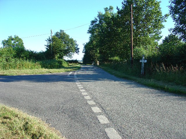
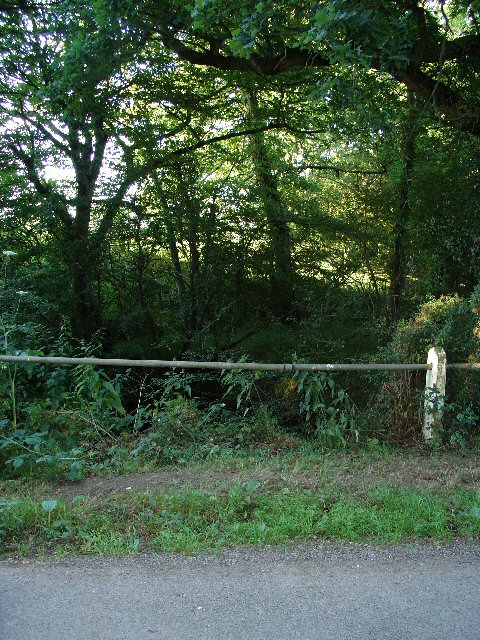
Greenbroom Copse, located in Sussex, England, is an enchanting woodland area known for its natural beauty and diverse ecosystem. Covering an area of approximately 50 acres, this ancient woodland is a haven for wildlife and plant species, making it a popular destination for nature enthusiasts and hikers.

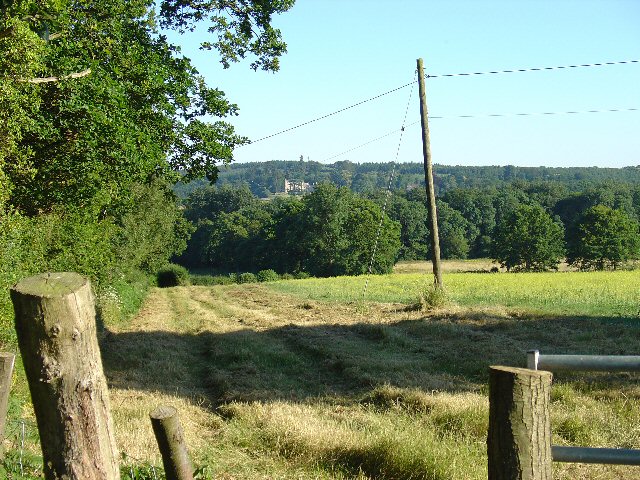
The copse is primarily composed of deciduous trees, including oak, ash, and birch, which create a dense canopy overhead, allowing only dappled sunlight to filter through. This creates a tranquil and peaceful atmosphere, perfect for those seeking solace in nature. The forest floor is adorned with an array of wildflowers, such as bluebells, primroses, and wood anemones, providing a vibrant and colorful carpet during springtime.

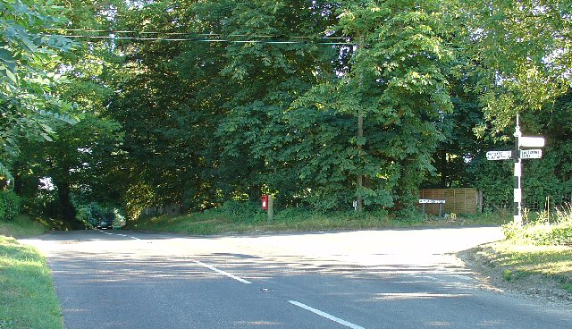
Walking through Greenbroom Copse, visitors will come across a network of winding trails, which crisscross the woodland, leading to hidden clearings and secluded spots. The chorus of birdsong fills the air, with the melodies of woodpeckers, robins, and blackbirds creating a symphony of natural sounds.

This woodland is also home to a variety of wildlife species, including deer, foxes, badgers, and numerous bird species. The copse provides a vital habitat for these creatures, offering shelter, food, and protection.

Greenbroom Copse is managed by local conservation authorities, who work tirelessly to preserve its natural beauty and protect the delicate balance of its ecosystem. The copse is open to the public year-round, providing an opportunity for visitors to immerse themselves in the tranquility of this ancient woodland and experience the wonders of nature firsthand.

If you have any feedback on the listing, please let us know in the comments section below.

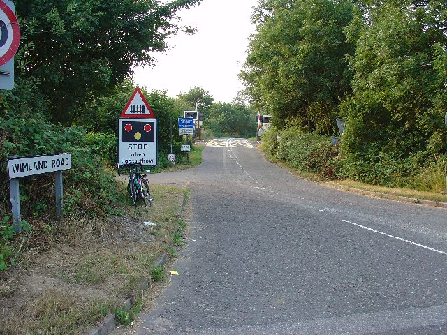
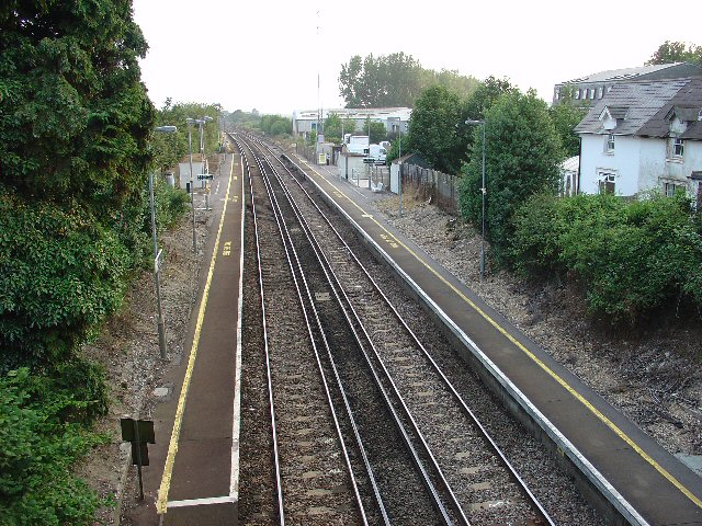
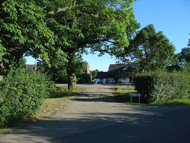
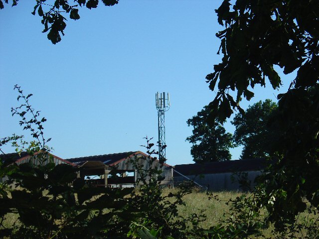
Greenbroom Copse Images

Images are sourced within 2km of 51.096277/-0.27949951 or Grid Reference TQ2034. Thanks to Geograph Open Source API. All images are credited.

Level Crossing (Horsham-Crawley line), Wimland Road, Faygate, West Sussex An automatic (un-manned) rural level crossing on this railway line, which connects Horsham to the London Victoria terminus, via Three Bridges.
Level Crossing (Horsham-Crawley line), Wimland Road, Faygate, West Sussex
An automatic (un-manned) rural level crossing on this railway line, which connects Horsham to the London Victoria terminus, via Three Bridges.
The Cherry Tree Public House, Near Faygate, West Sussex. A wayside inn on the N side of the A264 dual carriageway
The Cherry Tree Public House, Near Faygate, West Sussex.
A wayside inn on the N side of the A264 dual carriageway
Faygate Station, Faygate, West Sussex Not pretty, but functional. The small village of Faygate is surprisingly industrial (easy access to the railway and main A264 road probably the reason) for its location and the station fits in with the theme. On the Line between Horsham and Crawley (London Victoria - Littlehampton/Bognor Regis)
Faygate Station, Faygate, West Sussex
Not pretty, but functional. The small village of Faygate is surprisingly industrial (easy access to the railway and main A264 road probably the reason) for its location and the station fits in with the theme. On the Line between Horsham and Crawley (London Victoria - Littlehampton/Bognor Regis)
Gate house to the Holmbush estate, off A264, between Crawley and Horsham The gatehouse to the original main drive up to the house on the Holmwood estate.
Gate house to the Holmbush estate, off A264, between Crawley and Horsham
The gatehouse to the original main drive up to the house on the Holmwood estate.
Wimland Farm, Near Faygate, West Sussex A standard sized farmstead for the area, and one where farming appears to still be the main activity. Small pond behind the bushes on the left. View taken from the public road immediately to the N.
Wimland Farm, Near Faygate, West Sussex
A standard sized farmstead for the area, and one where farming appears to still be the main activity. Small pond behind the bushes on the left. View taken from the public road immediately to the N.
Phone Mast, Wimland Farm, Near Faygate, West Sussex Phone mast in amongst the farm buildings of the main farmstead.
Phone Mast, Wimland Farm, Near Faygate, West Sussex
Phone mast in amongst the farm buildings of the main farmstead.
Road Junction near Wimland Farm, Faygate, West Sussex All narrow (single track) roads. The sign was a bit dilapidated - the central limb (to Faygate) was missing.
Road Junction near Wimland Farm, Faygate, West Sussex
All narrow (single track) roads. The sign was a bit dilapidated - the central limb (to Faygate) was missing.
Road Junction, Near Carylls Lea, Faygate, West Sussex The metalled bridleway (see square TQ2235) comes out at this junction. Directions go to Faygate, Wimland, and Rusper.
Road Junction, Near Carylls Lea, Faygate, West Sussex
The metalled bridleway (see square TQ2235) comes out at this junction. Directions go to Faygate, Wimland, and Rusper.
Field adjacent to bridleway near Carylls Lea junction, Faygate, West Sussex This corner of the field is in the SW corner of the grid square, but there were several similar open fields on either side of the public right of way (which runs along a metalled farm track at this point). The view looks down across the wide shallow valley that the A264 Crawley-Horsham road runs through. In the distance, the large house of the Holmwood estate can just be made out on the far hillside. To the Left (E) of the field is a small wood. View taken looking SSE from the bridleway.
Field adjacent to bridleway near Carylls Lea junction, Faygate, West Sussex
This corner of the field is in the SW corner of the grid square, but there were several similar open fields on either side of the public right of way (which runs along a metalled farm track at this point). The view looks down across the wide shallow valley that the A264 Crawley-Horsham road runs through. In the distance, the large house of the Holmwood estate can just be made out on the far hillside. To the Left (E) of the field is a small wood. View taken looking SSE from the bridleway.
Barn at Coombers Farm, Faygate, West Sussex Many of the farms marked on the map in this area have now become solely residential properties, with no indication of any farming activity. Coombers Farm, however, has this sturdy (and used) modern style barn.
Barn at Coombers Farm, Faygate, West Sussex
Many of the farms marked on the map in this area have now become solely residential properties, with no indication of any farming activity. Coombers Farm, however, has this sturdy (and used) modern style barn.
Tributary of River Mole, Near Coombers Farm, Faygate, West Sussex. The River Mole is one of the main rivers in the area. This is a very young tributary. The stream runs through a narrow strip of trees for around 2km at this point. See the River Mole again in grid square TQ2337.
Tributary of River Mole, Near Coombers Farm, Faygate, West Sussex.
The River Mole is one of the main rivers in the area. This is a very young tributary. The stream runs through a narrow strip of trees for around 2km at this point. See the River Mole again in grid square TQ2337.
Bus stop and road approaching Faygate northbound The bus stop hut has now been taken down after the car above managed to "park" itself within!
Bus stop and road approaching Faygate northbound
The bus stop hut has now been taken down after the car above managed to "park" itself within!
Covered Reservoir, Forest Road, between Colgate and Horsham, West Sussex A covered water reservoir on the N side of Forest Road. At approx 120m above sea level, the reservoir is located on a ridge above Horsham.
Covered Reservoir, Forest Road, between Colgate and Horsham, West Sussex
A covered water reservoir on the N side of Forest Road. At approx 120m above sea level, the reservoir is located on a ridge above Horsham.
The Frog and Nightgown An extraordinary pub - it's a window into the past.
The Frog and Nightgown
An extraordinary pub - it's a window into the past.
Tower Road, Colgate Looking north-west towards Faygate through Holmbush Forest.
Tower Road, Colgate
Looking north-west towards Faygate through Holmbush Forest.
Discarded bathtub Flytipped in Holmbush Forest by Tower Road.
Discarded bathtub
Flytipped in Holmbush Forest by Tower Road.
View from Wimland Hill
Caryll's Lea Farm in Faygate Lane
Show me another place!

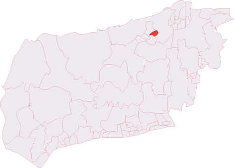
Greenbroom Copse is located at Grid Ref: TQ2034 (Lat: 51.096277, Lng: -0.27949951)

Administrative County: West Sussex

District: Horsham

Police Authority: Sussex

What 3 Words

///grazed.taxpayers.escapades. Near Bewbush, West Sussex

Related Wikis

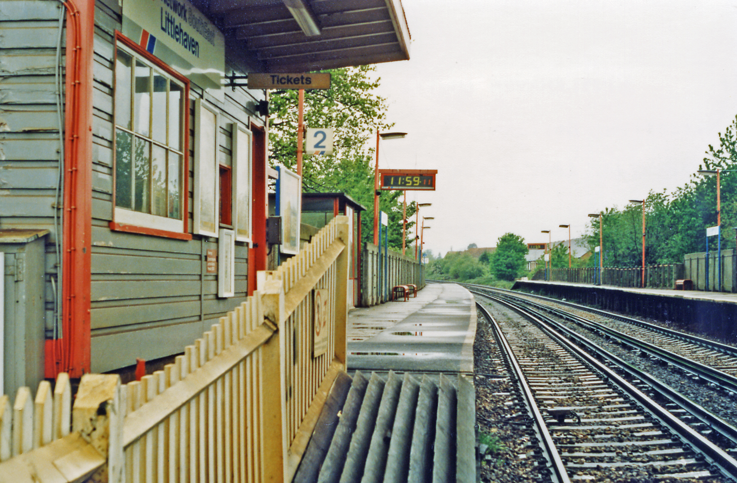
Faygate railway station

Faygate Station is located on the Arun Valley Line, between Littlehaven and Ifield, 34 miles 28 chains (55.3 km) down the line from London Bridge, measured...

Roffey Road Halt railway station

Roffey Road Halt is a now disused station on the Arun Valley Line in West Sussex, England and was the second station north from Horsham on the stretch...

Faygate

Faygate is a village in the Horsham district of West Sussex, England. It lies on the A264 road 3.4 miles (5.4 km) south west of Crawley. It has a railway...

North Horsham railway station

North Horsham is a proposed railway station in Horsham, West Sussex which would serve the North Horsham Business Park. The proposal was backed by West...

Bohunt Horsham

Bohunt Horsham is a coeducational all-through school located in Horsham, West Sussex, England. The school opened to 120 students in Year 7 in 2019 in temporary...

Roffey F.C.

Roffey F.C. is an English football club located in Roffey, Horsham in West Sussex. The club are currently members of the Southern Combination Division...

North Horsham

North Horsham is a civil parish in the district of Horsham in West Sussex, England, covering the northern part of the Horsham town area. According to...

Roffey (electoral division)

Roffey is an electoral division of West Sussex in the United Kingdom and returns one member to sit on West Sussex County Council. == Extent == The division...

Nearby Amenities

Located within 500m of 51.096277,-0.27949951
Barrier: stile
Foot: yes
Lat/Long: 51.0944151/-0.2767824
Post Box
Brand: Royal Mail
Brand Wikidata: Q638098
Operator: Royal Mail
Operator Wikidata: Q638098
Ref: RH12 197
Lat/Long: 51.0923029/-0.2796041
Pub
The Frog & Nightgown Public House, Toad Hall Tearooms
Addr City: Faygate
Addr Postcode: RH12 4SS
Addr Street: Wimland Road
Fhrs Id: 158612
Note: The Frog & Nightgown re-opened in August 2016
Source Addr: FHRS Open Data
Website: https://www.thefrogandnightgown.co.uk/
Lat/Long: 51.0923411/-0.2799577
Budd's Farm
Place: farm
Lat/Long: 51.0952115/-0.2759888
The data included in this document is from www.openstreetmap.org. The data is made available under ODbL.

Have you been to Greenbroom Copse?

Leave your review of Greenbroom Copse below (or comments, questions and feedback).