Challen's Wood

Wood, Forest in Sussex Horsham

England

Challen's Wood

Dead leaves near the footpath
Dead leaves near the footpath Credit: Ian Cunliffe

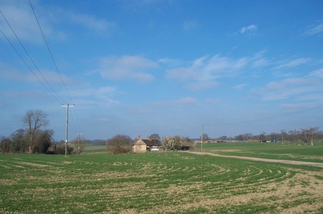
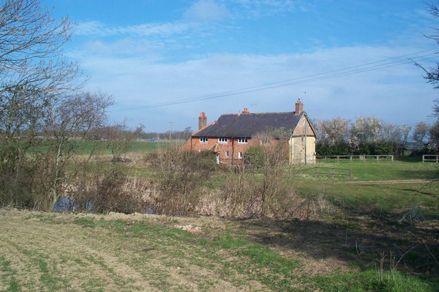
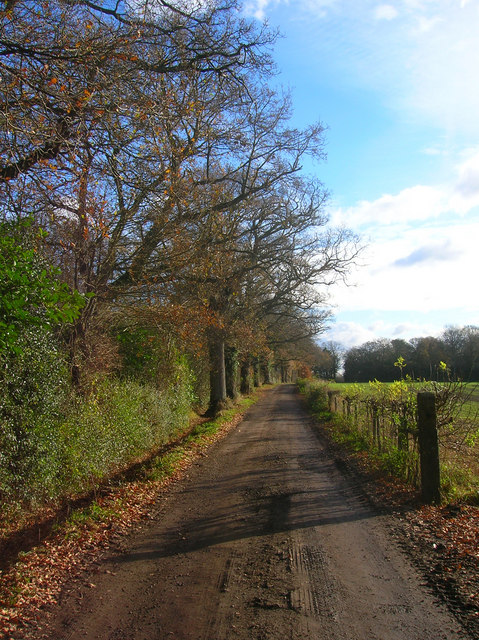
Challen's Wood is a picturesque woodland located in the county of Sussex, England. Spanning over an area of several acres, it is a stunning example of a well-preserved ancient forest. This wood is situated near the village of Chiddingly, adding to its charm and accessibility for locals and tourists alike.

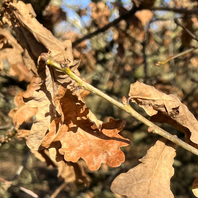
The woodland boasts a diverse range of tree species, including oak, beech, ash, and birch, creating a rich tapestry of colors throughout the year. The dense canopy provides a haven for numerous wildlife species, making it an ideal spot for nature enthusiasts and birdwatchers.

Visitors to Challen's Wood can embark on a meandering network of footpaths that wind through the forest, offering a tranquil and immersive experience. The paths are well-maintained, making it accessible for walkers of all abilities. Along the way, one can encounter vibrant wildflowers, moss-covered rocks, and even the occasional glimpse of deer or foxes.

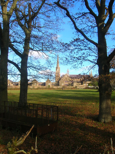
Challen's Wood is also known for its historical significance. It is believed to have been a part of the ancient Wealden Forest, which covered much of the region during the medieval period. Today, it stands as a testament to the enduring beauty and importance of woodland preservation.

Whether one seeks solace in nature, wishes to explore the local wildlife, or simply desires a peaceful retreat, Challen's Wood offers an idyllic escape. With its enchanting atmosphere and natural splendor, it continues to captivate visitors and showcase the timeless allure of Sussex's woodlands.

If you have any feedback on the listing, please let us know in the comments section below.

Challen's Wood Images

Images are sourced within 2km of 50.956247/-0.27957859 or Grid Reference TQ2018. Thanks to Geograph Open Source API. All images are credited.

Dead leaves near the footpath
Scene near the south bank of the River Adur This path is often difficult to follow after heavy rain and flooding. There were no such difficulties today.
Scene near the south bank of the River Adur
This path is often difficult to follow after heavy rain and flooding. There were no such difficulties today.
Tree overhanging the river Adur
St Hugh's Charterhouse monastery This is a cross-grid shot. The camera was 4.4 km to the south, in TQ1916.
St Hugh's Charterhouse monastery
This is a cross-grid shot. The camera was 4.4 km to the south, in TQ1916.
St Hugh's Charterhouse monastery This place has huge footprint on the OS map, yet I understand that only about 25 monks live here. The spire is visible from miles away on the Downs, yet you could easily drive down the nearby A281 without even spotting it.
St Hugh's Charterhouse monastery
This place has huge footprint on the OS map, yet I understand that only about 25 monks live here. The spire is visible from miles away on the Downs, yet you could easily drive down the nearby A281 without even spotting it.
Mockford Farm Mockford Farm, dating back to Medieval times; photo taken looking west from near Parkminster Farm, in Spring 2005
Mockford Farm
Mockford Farm, dating back to Medieval times; photo taken looking west from near Parkminster Farm, in Spring 2005
Mockford Farm Mockford Farm, dating back to Medieval times.
Mockford Farm
Mockford Farm, dating back to Medieval times.
Footbridge and fingerpost on footpath 1781 Over <a href="https://www.geograph.org.uk/photo/252190">TQ2120 : The Cowfold Stream</a> between <a href="https://www.geograph.org.uk/photo/252187">TQ2121 : Crateman's Farm</a> and <a href="https://www.geograph.org.uk/photo/244888">TQ2220 : Park Farm</a>
Footbridge and fingerpost on footpath 1781
Robin's Pincushion seen on Dog Rose Next to <a href="https://www.geograph.org.uk/photo/244885">TQ2120 : Footbridge and fingerpost on footpath 1781</a> on south side of Cowfold Stream. The Robin's Pincushion, or Bedeguar Gall, is caused by the larvae of the gall-wasp Diplolepis rosae. For further information see <span class="nowrap"><a title="http://www.pznow.co.uk/wildlife/gall.html" rel="nofollow ugc noopener" href="http://www.pznow.co.uk/wildlife/gall.html">Link</a><img style="margin-left:2px;" alt="External link" title="External link - shift click to open in new window" src="https://s1.geograph.org.uk/img/external.png" width="10" height="10"/></span>
Robin's Pincushion seen on Dog Rose
Next to TQ2120 : Footbridge and fingerpost on footpath 1781 on south side of Cowfold Stream. The Robin's Pincushion, or Bedeguar Gall, is caused by the larvae of the gall-wasp Diplolepis rosae. For further information see LinkExternal link
Footbridge on footpath 1781 Seen from the west bank of <a href="https://www.geograph.org.uk/photo/252190">TQ2120 : The Cowfold Stream</a> between <a href="https://www.geograph.org.uk/photo/252187">TQ2121 : Crateman's Farm</a> and <a href="https://www.geograph.org.uk/photo/244888">TQ2220 : Park Farm</a> just south of <a href="https://www.geograph.org.uk/photo/252189">TQ2120 : Unusual stile on Footpath 1781</a>.
Footbridge on footpath 1781
St Hugh's Charterhouse Carthusian monastery to the south of the village of Cowfold. Founded in 1873 when the order purchased a former estate known as Picknowle and is the only Carthusian monastery in Britain. Its 200 foot tall spire is a local landmark for many miles around and was used by the Luftwaffe as a navigation marker during the Second World War.
St Hugh's Charterhouse
Carthusian monastery to the south of the village of Cowfold. Founded in 1873 when the order purchased a former estate known as Picknowle and is the only Carthusian monastery in Britain. Its 200 foot tall spire is a local landmark for many miles around and was used by the Luftwaffe as a navigation marker during the Second World War.
St Hugh's Charterhouse View over the hedge that lines a farm drive to the south of the monastery's grounds. See <a href="https://www.geograph.org.uk/photo/1061614">TQ2020 : St Hugh's Charterhouse</a> for more information on the monastery.
St Hugh's Charterhouse
View over the hedge that lines a farm drive to the south of the monastery's grounds. See TQ2020 : St Hugh's Charterhouse for more information on the monastery.
Track to Parkminster Farm The main entrance to the farm from the A281. It also carries a public footpath.
Track to Parkminster Farm
The main entrance to the farm from the A281. It also carries a public footpath.
Maryland, Henfield Road Tile hung cottage on the A281 north of Shermanbury.
Maryland, Henfield Road
Tile hung cottage on the A281 north of Shermanbury.
Buckhatch Lane south from Oaklands Farm This is a bridleway which converts into a track further north
Buckhatch Lane south from Oaklands Farm
This is a bridleway which converts into a track further north
Wheat field to the NW of St Hugh's Monastery
St Hugh's Monastery St Hugh's is a Cartusian monastery built in 1877. During the Second WW it was severely damage, but was restored by a local building contractor after the war
St Hugh's Monastery
St Hugh's is a Cartusian monastery built in 1877. During the Second WW it was severely damage, but was restored by a local building contractor after the war
Roof of barn at Parkminster Farm On the horizon are the communication masts at Truleigh Hill on the South Downs
Roof of barn at Parkminster Farm
On the horizon are the communication masts at Truleigh Hill on the South Downs
Show me another place!

Challen's Wood is located at Grid Ref: TQ2018 (Lat: 50.956247, Lng: -0.27957859)

Administrative County: West Sussex

District: Horsham

Police Authority: Sussex

What 3 Words

///name.keep.regal. Near Partridge Green, West Sussex

Nearby Locations

Challen's Wood

Related Wikis

Shermanbury

Shermanbury is a village and civil parish in the Horsham District of West Sussex, England. It lies on the A281 road approximately 2 miles (3 km) north...

Henfield (electoral division)

Henfield is an electoral division of West Sussex in the United Kingdom and returns one member to sit on West Sussex County Council. The current County...

Betley Bridge

Betley Bridge is a disused railway bridge, now a rail trail bridge, which crosses the confluence of the East and West Adur rivers North of Henfield in...

Dark Star Brewing Company

Dark Star was a brewery in Partridge Green, Sussex, England. == History == Dark Star Brewery was established in 1994, brewing in the cellar of the Evening...

Nearby Amenities

Located within 500m of 50.956247,-0.27957859
Bus Stop
Cornerhouse
Bus: yes
Naptan AtcoCode: 4400HR0376
Naptan Bearing: SE
Naptan CommonName: Hazeldene
Naptan Indicator: adj
Naptan Landmark: o/s Cintra
Naptan NaptanCode: wsxawgdg
Naptan Street: A281 London Road
Naptan Verified: no
Public Transport: platform
Source: naptan_import
Lat/Long: 50.9561801/-0.2837548
Cornerhouse
Bus: yes
Naptan AtcoCode: 4400HR0377
Naptan Bearing: NW
Naptan BusStopType: CUS
Naptan CommonName: Hazeldene
Naptan Indicator: opp
Naptan Landmark: Opp Hazeldene
Naptan NaptanCode: wsxawgdj
Naptan Street: A281 London Road
Naptan Verified: no
Public Transport: platform
Shelter: yes
Source: naptan_import;mapilary
Lat/Long: 50.9560301/-0.28379
Bus Stop
Wychwood
Bus: yes
Naptan AtcoCode: 4400HR0378
Naptan Bearing: S
Naptan CommonName: Wychwood
Naptan Indicator: Wynchwood Farm
Naptan Landmark: Wychwood Farm
Naptan NaptanCode: wsxawgdm
Naptan Street: A281
Naptan Verified: no
Public Transport: platform
Source: naptan_import
Lat/Long: 50.9521133/-0.2791931
Bus Stop
Wychwood
Bus: yes
Naptan AtcoCode: 4400HR0379
Naptan Bearing: N
Naptan BusStopType: CUS
Naptan CommonName: Wychwood
Naptan Indicator: Wynchwood Farm
Naptan Landmark: Wychwood Farm
Naptan NaptanCode: wsxawgdp
Naptan Street: A281
Naptan Verified: no
Public Transport: platform
Source: naptan_import
Lat/Long: 50.9519354/-0.2793278
Shermanbury
Place: hamlet
Lat/Long: 50.9576035/-0.2839297
Post Box
Operator: Royal Mail
Post Box Type: lamp
Ref: RH13 169
Royal Cypher: EIIR
Royal Cypher Wikidata: Q33102113
Lat/Long: 50.9563824/-0.2840298
Power: pole
Lat/Long: 50.9602012/-0.2821476
Power: pole
Lat/Long: 50.9601444/-0.2820972
Location Transition: yes
Power: pole
Lat/Long: 50.9597725/-0.2836818
Location Transition: yes
Power: pole
Lat/Long: 50.9597052/-0.2836288
The data included in this document is from www.openstreetmap.org. The data is made available under ODbL.

Have you been to Challen's Wood?

Leave your review of Challen's Wood below (or comments, questions and feedback).