Betchworth Hills Wood
Wood, Forest in Surrey Mole Valley
England
Betchworth Hills Wood

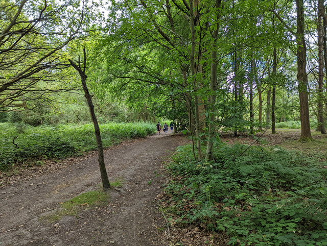
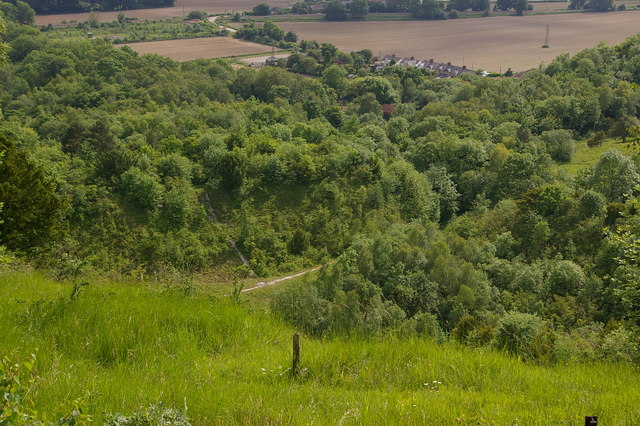
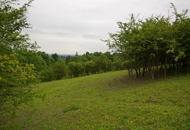
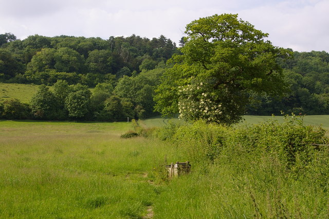
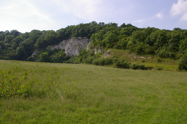
Betchworth Hills Wood is a picturesque woodland located in Surrey, England. Spanning over an area of approximately 70 hectares, this ancient forest offers a tranquil and serene escape from the hustle and bustle of city life. Situated near the village of Betchworth, the woodland is easily accessible and attracts nature lovers and outdoor enthusiasts from both the local area and beyond.
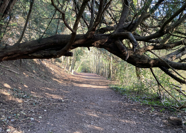
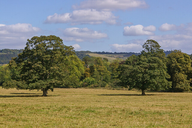
The wood is predominantly made up of native broadleaf trees, including oak, beech, and birch. These majestic trees provide a rich canopy, creating a dappled sunlight effect on the forest floor. In spring, the woodland comes alive with a stunning display of bluebells, transforming the forest into a magical carpet of vibrant colors.
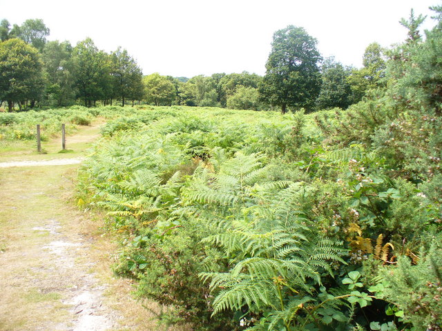
Betchworth Hills Wood is home to a diverse range of wildlife. Visitors may be lucky enough to spot deer, foxes, badgers, and various species of birds. The forest is also home to a variety of insects, including butterflies and dragonflies, which thrive in the lush vegetation.
The wood is crisscrossed with a network of well-maintained footpaths, making it an ideal destination for walkers, hikers, and joggers. These paths lead visitors through the heart of the forest, providing stunning views of the surrounding countryside and the North Downs.
The wood is managed by the Surrey Wildlife Trust, who work diligently to preserve and enhance the natural beauty of the area. Betchworth Hills Wood is a designated Site of Special Scientific Interest (SSSI) due to its ecological importance and the diverse range of plant and animal species it supports.
Overall, Betchworth Hills Wood offers a peaceful retreat for those seeking to connect with nature and enjoy the beauty of the Surrey countryside.
If you have any feedback on the listing, please let us know in the comments section below.
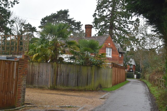
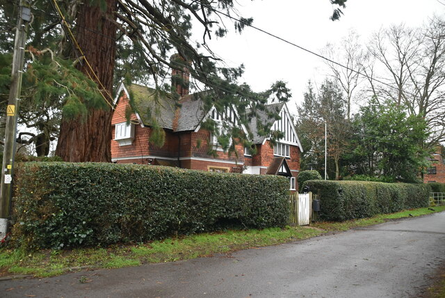
Betchworth Hills Wood Images
Images are sourced within 2km of 51.253923/-0.27051196 or Grid Reference TQ2051. Thanks to Geograph Open Source API. All images are credited.


Betchworth Hills Wood is located at Grid Ref: TQ2051 (Lat: 51.253923, Lng: -0.27051196)
Administrative County: Surrey
District: Mole Valley
Police Authority: Surrey
What 3 Words
///bills.fish.couches. Near Lower Kingswood, Surrey
Nearby Locations
Related Wikis
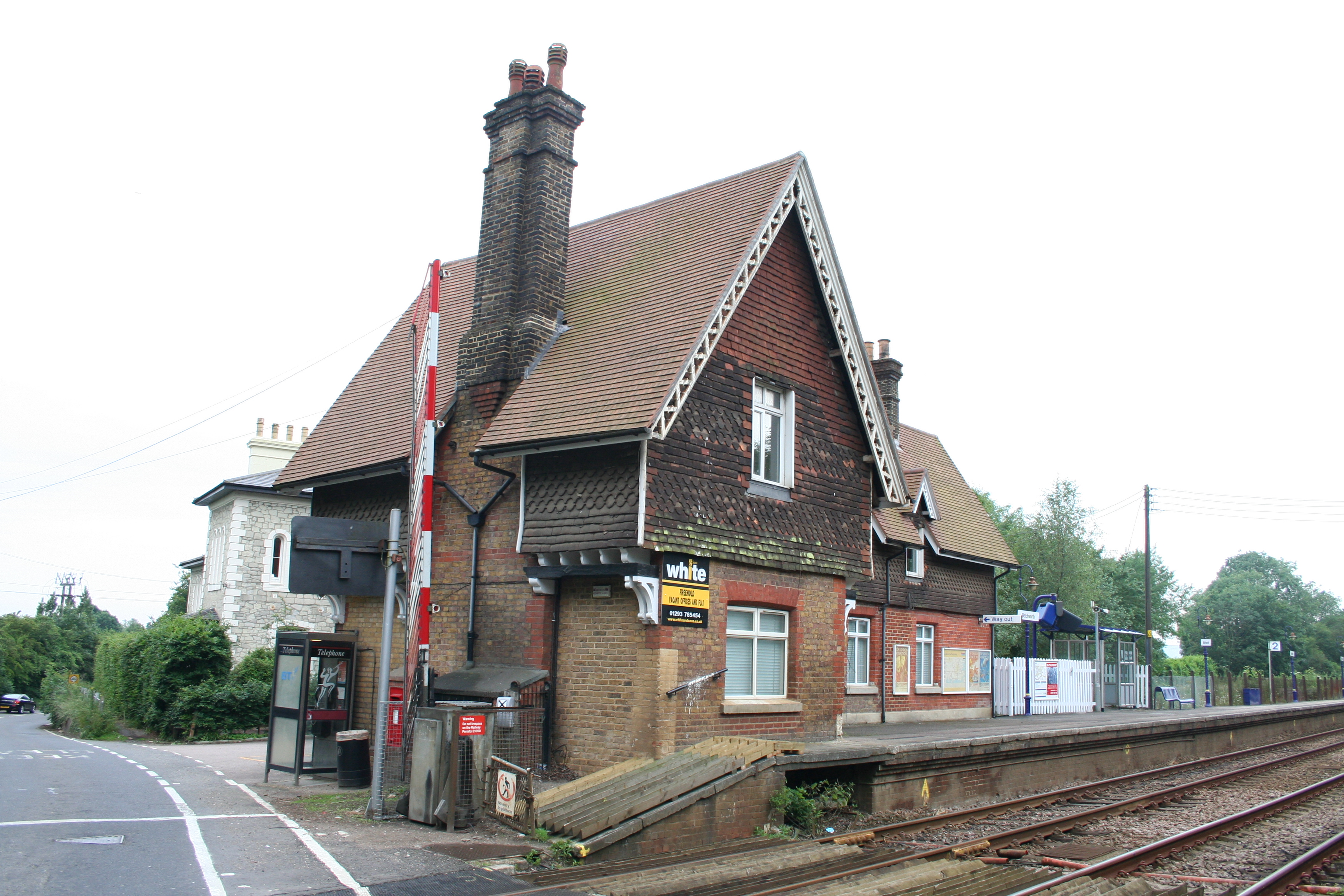
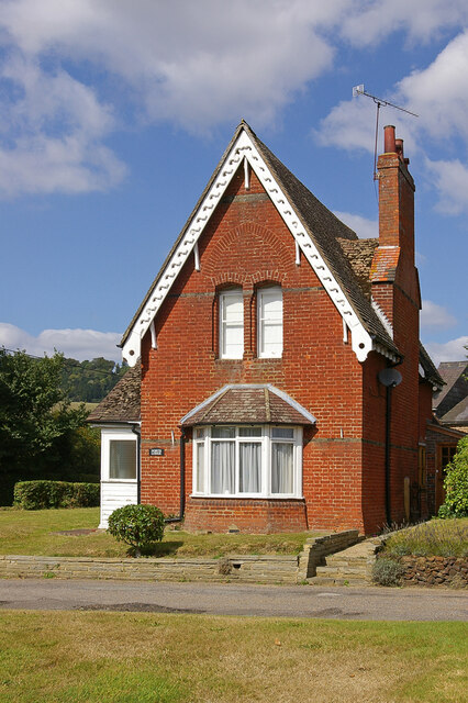
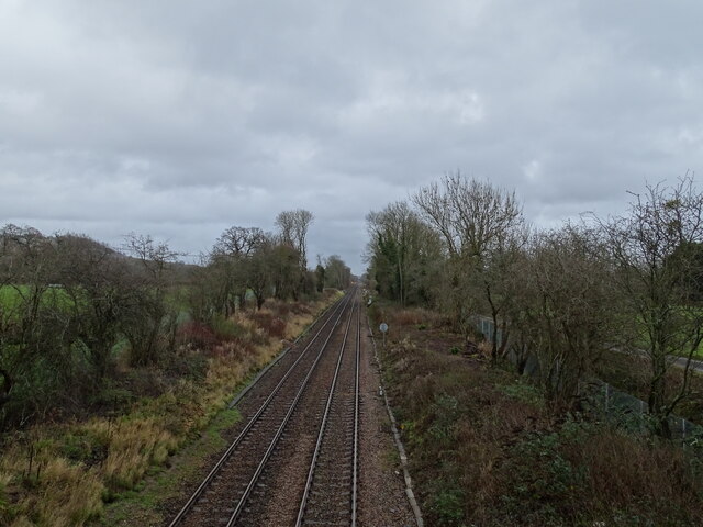
Betchworth railway station
Betchworth railway station serves the village of Betchworth in Surrey, England. It is on the North Downs Line, 27 miles 17 chains (27.21 miles, 43.79 km...
Brockham Limeworks
Brockham Limeworks is a 45-hectare (110-acre) nature reserve north of Brockham in Surrey. It is owned by Surrey County Council. Part of it is a Scheduled...
Fraser Down
Fraser Down is a 10-hectare (25-acre) nature reserve north of Betchworth in Surrey. It is managed by the Surrey Wildlife Trust. It is part of the Mole...
Dawcombe
Dawcombe is a 23-hectare (57-acre) nature reserve north-west of Reigate in Surrey. It is managed by the Surrey Wildlife Trust. It is part of the Mole...
Betchworth Quarry and Lime Kilns
Betchworth Quarry and Lime Kilns is a 27-hectare (67-acre) nature reserve north of Betchworth in Surrey. Betchworth Quarry only is managed by Surrey Wildlife...
Mole Gap to Reigate Escarpment
Mole Gap to Reigate Escarpment is a 1,016.4-hectare (2,512-acre) biological and geological Site of Special Scientific Interest west of Reigate in Surrey...
Buckland, Surrey
Buckland is a village and civil parish in the Mole Valley district of Surrey, England, between Dorking and Reigate, its nearest towns. The civil parish...

Buckland Windmill
Buckland Windmill is a grade II listed smock mill at Buckland, Surrey, England which has been restored to working order. It is the only surviving wind...
Nearby Amenities
Located within 500m of 51.253923,-0.27051196Have you been to Betchworth Hills Wood?
Leave your review of Betchworth Hills Wood below (or comments, questions and feedback).