Betchwood Clump
Wood, Forest in Surrey Mole Valley
England
Betchwood Clump

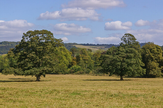
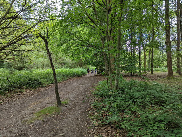
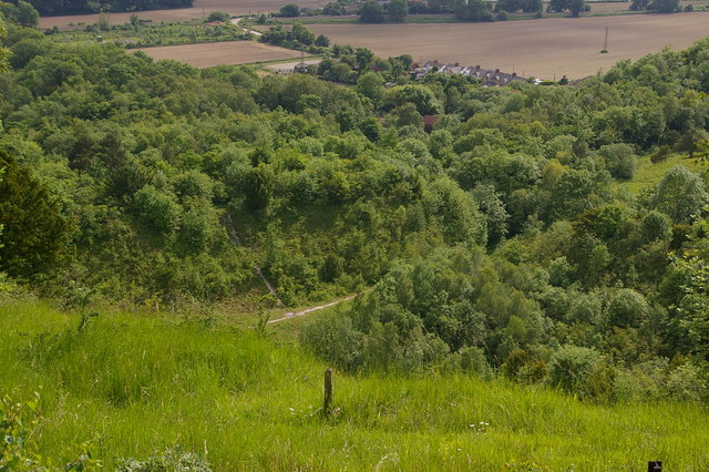
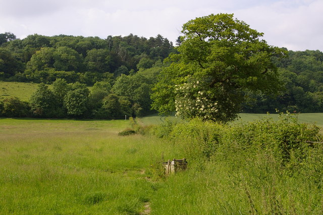
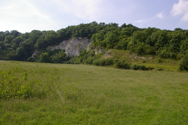
Betchwood Clump is a picturesque woodland located in Surrey, England. Situated near the village of Betchworth, it spans an area of approximately 200 acres and is a popular destination for nature enthusiasts and hikers alike.
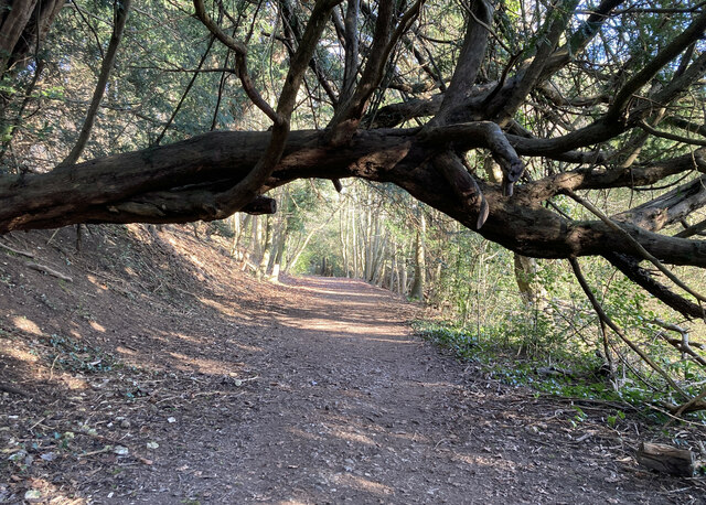
The woodland is characterized by its dense canopy of trees, which primarily consists of oak, beech, and birch. These trees create a serene and tranquil atmosphere, providing a habitat for a diverse range of wildlife. Visitors to Betchwood Clump can expect to encounter various species of birds, mammals, and insects, making it an ideal spot for birdwatching and wildlife photography.
The forest floor is covered in a carpet of bluebells during the springtime, creating a stunning spectacle of vibrant colors. In addition to bluebells, the woodland is home to other wildflowers such as primroses and wood anemones, adding to its natural beauty.
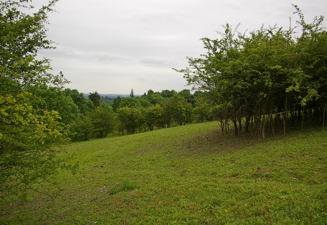
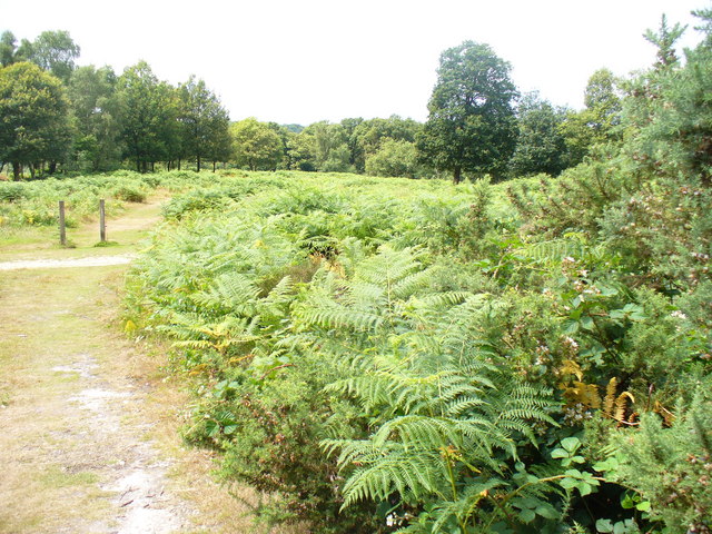
Several well-marked trails wind through Betchwood Clump, allowing visitors to explore its various corners. These trails cater to different fitness levels and offer opportunities for leisurely walks or more challenging hikes. Along the way, visitors can discover charming picnic spots and benches, providing an ideal setting to rest and soak in the peaceful surroundings.
Betchwood Clump is managed by the Surrey Wildlife Trust, ensuring its preservation and protection for future generations to enjoy. The trust also organizes educational programs and events, providing an opportunity for people to learn about the importance of woodland conservation and the unique ecosystem within Betchwood Clump.
Overall, Betchwood Clump is a hidden gem in Surrey, offering a tranquil escape from the hustle and bustle of everyday life. Its natural beauty, diverse wildlife, and well-maintained trails make it a must-visit destination for nature lovers and outdoor enthusiasts.
If you have any feedback on the listing, please let us know in the comments section below.
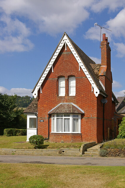
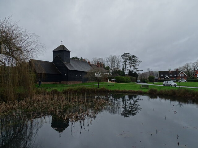
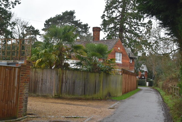
Betchwood Clump Images
Images are sourced within 2km of 51.252295/-0.27472876 or Grid Reference TQ2051. Thanks to Geograph Open Source API. All images are credited.


Betchwood Clump is located at Grid Ref: TQ2051 (Lat: 51.252295, Lng: -0.27472876)
Administrative County: Surrey
District: Mole Valley
Police Authority: Surrey
What 3 Words
///remove.crisis.rather. Near Dorking, Surrey
Nearby Locations
Related Wikis
Brockham Limeworks
Brockham Limeworks is a 45-hectare (110-acre) nature reserve north of Brockham in Surrey. It is owned by Surrey County Council. Part of it is a Scheduled...
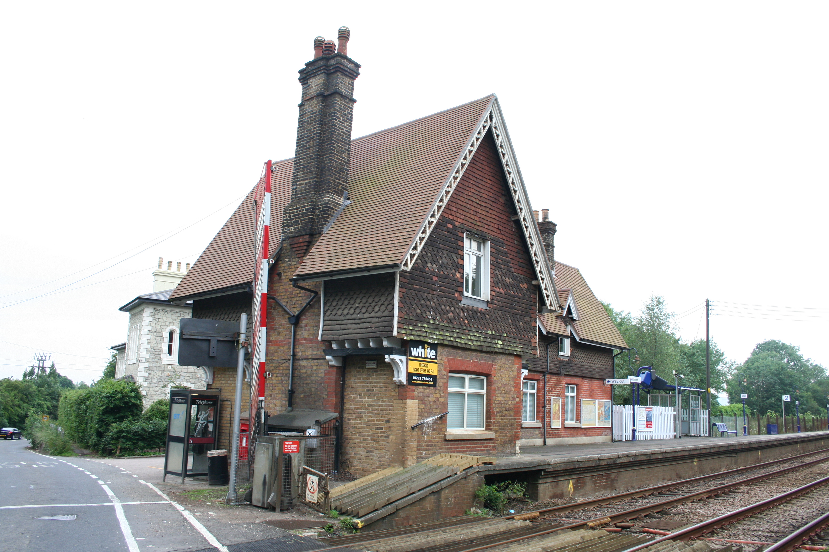
Betchworth railway station
Betchworth railway station serves the village of Betchworth in Surrey, England. It is on the North Downs Line, 27 miles 17 chains (27.21 miles, 43.79 km...
Fraser Down
Fraser Down is a 10-hectare (25-acre) nature reserve north of Betchworth in Surrey. It is managed by the Surrey Wildlife Trust. It is part of the Mole...
Dawcombe
Dawcombe is a 23-hectare (57-acre) nature reserve north-west of Reigate in Surrey. It is managed by the Surrey Wildlife Trust. It is part of the Mole...
Betchworth Quarry and Lime Kilns
Betchworth Quarry and Lime Kilns is a 27-hectare (67-acre) nature reserve north of Betchworth in Surrey. Betchworth Quarry only is managed by Surrey Wildlife...
Mole Gap to Reigate Escarpment
Mole Gap to Reigate Escarpment is a 1,016.4-hectare (2,512-acre) biological and geological Site of Special Scientific Interest west of Reigate in Surrey...
Buckland, Surrey
Buckland is a village and civil parish in the Mole Valley district of Surrey, England, between Dorking and Reigate, its nearest towns. The civil parish...

High Ashurst
High Ashurst is a large natural site of 56 acres of land in an Area of Outstanding Natural Beauty in North Downs, Surrey. The site has been host to many...
Nearby Amenities
Located within 500m of 51.252295,-0.27472876Have you been to Betchwood Clump?
Leave your review of Betchwood Clump below (or comments, questions and feedback).