Hill Wood
Wood, Forest in Huntingdonshire Huntingdonshire
England
Hill Wood
The requested URL returned error: 429 Too Many Requests
If you have any feedback on the listing, please let us know in the comments section below.
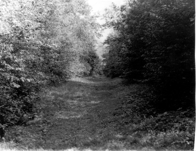
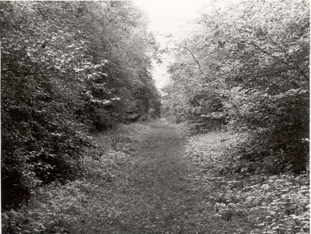
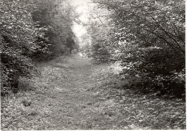
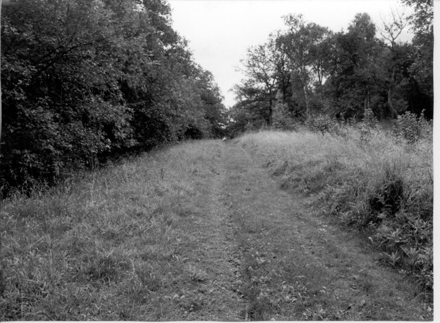
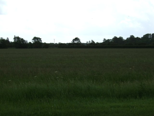
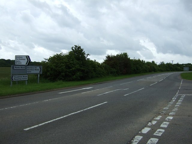
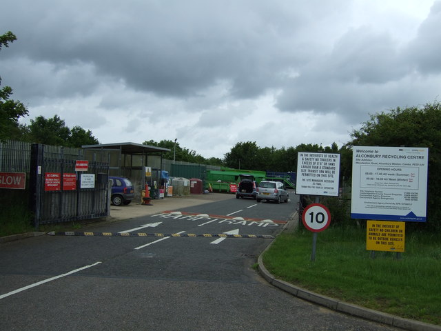
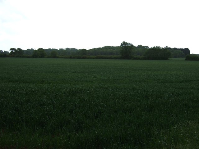
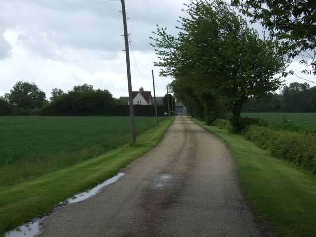
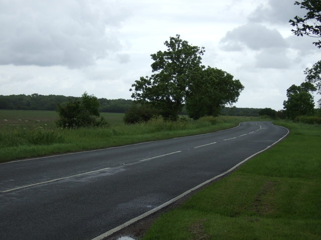
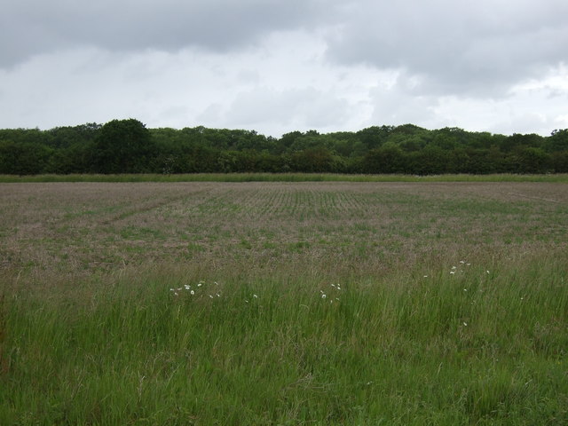
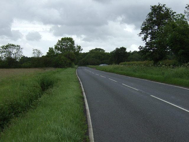
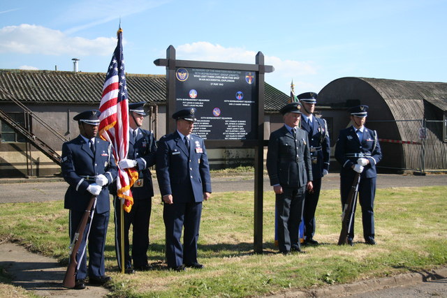
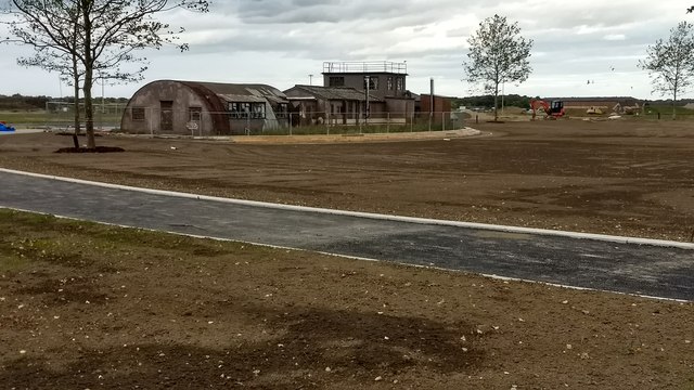
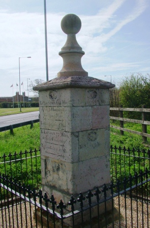
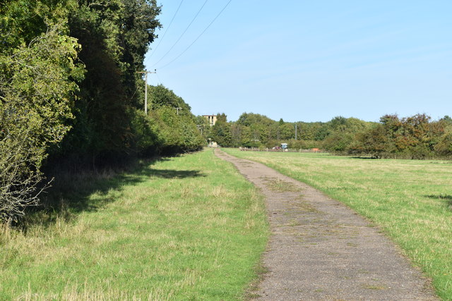
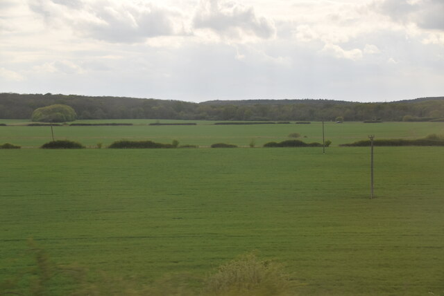
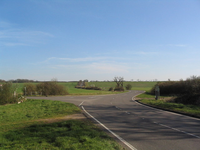
Hill Wood Images
Images are sourced within 2km of 52.39287/-0.22993452 or Grid Reference TL2078. Thanks to Geograph Open Source API. All images are credited.
Hill Wood is located at Grid Ref: TL2078 (Lat: 52.39287, Lng: -0.22993452)
Administrative County: Cambridgeshire
District: Huntingdonshire
Police Authority: Cambridgeshire
What 3 Words
///prepare.staples.importing. Near Alconbury, Cambridgeshire
Nearby Locations
Related Wikis

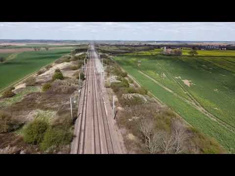
Abbots Ripton railway station
Abbots Ripton railway station was a railway station on the East Coast Main Line in the English county of Cambridgeshire. Although trains still pass on...

Monks Wood
Monks Wood is a 157-hectare (390-acre) National Nature Reserve north-west of Huntingdon in Cambridgeshire, and a Nature Conservation Review site, Grade...

New Shire Hall, Alconbury Weald
New Shire Hall is a municipal building on Emery Crescent, Alconbury Weald, Cambridgeshire, England, built in 2019–2020. It is the headquarters of Cambridgeshire...
Abbots Ripton rail accident
The Abbots Ripton rail disaster occurred on 21 January 1876 at Abbots Ripton, then in the county of Huntingdonshire, England, on the Great Northern Railway...
Related Videos

The Difference Between You And Me Is My Airsoft Pistol Does FULL AUTO #shorts #airsoft
You're a daft sod, Lewis. You never learn. Want to support my channel? Check out my 3DCults: ...


Nearby Amenities
Located within 500m of 52.39287,-0.22993452Have you been to Hill Wood?
Leave your review of Hill Wood below (or comments, questions and feedback).