Felix Plantation

Wood, Forest in Sussex Horsham

England

Felix Plantation

St Hugh's Charterhouse monastery This place has huge footprint on the OS map, yet I understand that only about 25 monks live here. The spire is visible from miles away on the Downs, yet you could easily drive down the nearby A281 without even spotting it.
St Hugh's Charterhouse monastery Credit: Ian Cunliffe

Felix Plantation is a picturesque woodland area located in Sussex, England. Known for its dense forestry and natural beauty, the plantation covers a vast expanse of land, providing a tranquil and serene escape for nature enthusiasts and hikers alike.

Situated in the heart of Sussex, Felix Plantation offers a wide range of flora and fauna, making it a haven for wildlife. The woodland is home to a diverse array of tree species, including oak, beech, and birch, which create a dense canopy overhead, providing shade and shelter for both plants and animals. The forest floor is covered in a thick layer of moss and ferns, adding to the enchanting atmosphere.

With numerous well-maintained trails crisscrossing the plantation, visitors have the opportunity to explore and immerse themselves in the natural surroundings. The trails cater to all levels of hikers, with options for leisurely strolls or more challenging hikes. Along the way, hikers may encounter various species of birds, such as woodpeckers and owls, as well as small mammals like foxes and deer.

Felix Plantation is also a popular destination for birdwatching, as it attracts a wide variety of avian species throughout the year. The plantation provides an ideal habitat for birds, with its diverse vegetation and secluded areas. Birdwatchers can often spot rare and migratory birds, adding to the plantation's appeal for nature lovers and photographers.

Overall, Felix Plantation offers a blend of beauty, tranquility, and biodiversity. Whether it's a leisurely walk, a challenging hike, or birdwatching, visitors to this Sussex woodland are sure to be captivated by its natural wonders.

If you have any feedback on the listing, please let us know in the comments section below.

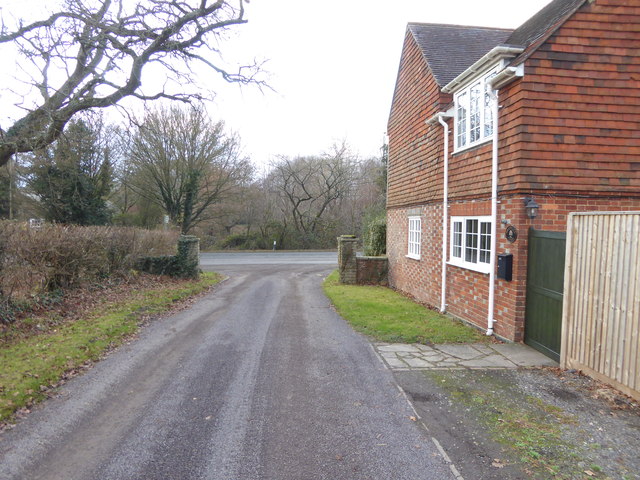
Felix Plantation Images

Images are sourced within 2km of 50.967968/-0.2920491 or Grid Reference TQ2020. Thanks to Geograph Open Source API. All images are credited.

St Hugh's Charterhouse monastery This place has huge footprint on the OS map, yet I understand that only about 25 monks live here. The spire is visible from miles away on the Downs, yet you could easily drive down the nearby A281 without even spotting it.
St Hugh's Charterhouse monastery
This place has huge footprint on the OS map, yet I understand that only about 25 monks live here. The spire is visible from miles away on the Downs, yet you could easily drive down the nearby A281 without even spotting it.
Looking south on the A281 past footpath crossing See also <a title="https://www.geograph.org.uk/photo/3228295" href="https://www.geograph.org.uk/photo/3228295">Link</a>.
Looking south on the A281 past footpath crossing
See also Link.
Weatherfox on Dragons Lane
Looking west on Dragons Lane Dragons Lane is a public bridleway.
Looking west on Dragons Lane
Dragons Lane is a public bridleway.
Dragons Farm on Dragons Lane See also <a title="https://www.geograph.org.uk/photo/1502257" href="https://www.geograph.org.uk/photo/1502257">Link</a> from 2009.
Dragons Farm on Dragons Lane
See also Link from 2009.
Looking east on Dragons Lane from footpath junction
Footpath passes through corner of field near Crateman's Farm
Signpost at footpath change of direction
Stile on footpath
Stile on footpath
Footbridge on Cowfold Stream A view the other way is at <a title="https://www.geograph.org.uk/photo/252771" href="https://www.geograph.org.uk/photo/252771">Link</a>.
Footbridge on Cowfold Stream
A view the other way is at Link.
Footpath leaves field by kissing gate
Kissing gate where footpath leaves driveway The kissing gate has replaced a stile since <a title="https://www.geograph.org.uk/photo/1901457" href="https://www.geograph.org.uk/photo/1901457">Link</a>.
Kissing gate where footpath leaves driveway
The kissing gate has replaced a stile since Link.
Footpath heads west by Gratwicke Lodge The A281 is ahead.  see also <a title="https://www.geograph.org.uk/photo/1275594" href="https://www.geograph.org.uk/photo/1275594">Link</a>.
Footpath heads west by Gratwicke Lodge
The A281 is ahead. see also Link.
Looking south on the A281 from bus stop
Royal Mail box at the end of a footpath on the A281
Footpath goes west from the A281
The Chalet Transport Café on the A281 The sign says "OPEN 7 DAYS".  Since it was shut I had a choice of seating for my packed lunch.
The Chalet Transport Café on the A281
The sign says "OPEN 7 DAYS". Since it was shut I had a choice of seating for my packed lunch.
St Hugh's Charterhouse monastery This is a cross-grid shot. The camera was 4.4 km to the south, in TQ1916.
St Hugh's Charterhouse monastery
This is a cross-grid shot. The camera was 4.4 km to the south, in TQ1916.
Show me another place!

Felix Plantation is located at Grid Ref: TQ2020 (Lat: 50.967968, Lng: -0.2920491)

Administrative County: West Sussex

District: Horsham

Police Authority: Sussex

What 3 Words

///pylons.reeling.instincts. Near Partridge Green, West Sussex

Related Wikis

Henfield (electoral division)

Henfield is an electoral division of West Sussex in the United Kingdom and returns one member to sit on West Sussex County Council. The current County...

Littleworth, West Sussex

Littleworth is a hamlet in the Horsham District of West Sussex, England. It lies on the Partridge Green to Maplehurst road 2.9 miles (4.7 km) north of...

St Hugh's Charterhouse

St Hugh's Charterhouse, Parkminster, is the only post-Reformation Carthusian monastery in the United Kingdom. It is located in the parish of Cowfold, West...

Shermanbury

Shermanbury is a village and civil parish in the Horsham District of West Sussex, England. It lies on the A281 road approximately 2 miles (3 km) north...

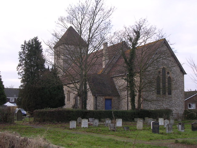
St Michael and All Angels Church, Partridge Green

St Michael and All Angels Church is a late nineteenth-century church in the settlement of Partridge Green in the parish of West Grinstead in West Sussex...

Dark Star Brewing Company

Dark Star is a brewery in Partridge Green, Sussex, England. == History == Dark Star Brewery was established in 1994, brewing in the cellar of the Evening...
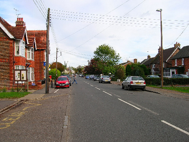
Partridge Green

Partridge Green is a village in the Horsham District of West Sussex, England. It lies on the B2135 road 2.5 miles (4 km) north-west of Henfield. It is...

Partridge Green railway station

Partridge Green was a railway station on the Steyning Line which served the village of Partridge Green. The station closed as a result of the Beeching...

Nearby Amenities

Located within 500m of 50.967968,-0.2920491
Power: pole
Lat/Long: 50.9717512/-0.294782
Power: pole
Lat/Long: 50.9708046/-0.295247
Power: pole
Lat/Long: 50.9700681/-0.2956094
Power: pole
Lat/Long: 50.9693951/-0.2959515
Power: pole
Lat/Long: 50.9657824/-0.2911425
Power: pole
Lat/Long: 50.965986/-0.2904186
Power: pole
Lat/Long: 50.9664353/-0.2897105
Power: pole
Lat/Long: 50.9669015/-0.2891931
Power: pole
Lat/Long: 50.9674875/-0.2886347
Power: pole
Lat/Long: 50.967786/-0.2881277
Power: pole
Lat/Long: 50.9679476/-0.2872964
Power: pole
Lat/Long: 50.9680635/-0.2862789
Power: pole
Lat/Long: 50.9656085/-0.2921029
Power: pole
Lat/Long: 50.9652279/-0.2937938
Power: pole
Lat/Long: 50.9654157/-0.2945603
Power: pole
Lat/Long: 50.9656111/-0.2953007
Power: pole
Lat/Long: 50.9658329/-0.2961272
Power: pole
Lat/Long: 50.9659917/-0.2968396
Power: pole
Lat/Long: 50.9661478/-0.2976008
Power: pole
Lat/Long: 50.9685963/-0.2963654
Power: pole
Lat/Long: 50.9674813/-0.2968894
The data included in this document is from www.openstreetmap.org. The data is made available under ODbL.

Have you been to Felix Plantation?

Leave your review of Felix Plantation below (or comments, questions and feedback).