Sheephovel Wood

Wood, Forest in Sussex Horsham

England

Sheephovel Wood

Oaks, Monk's Gate (1) There are quite a number of fine old specimens in the area, perhaps relics of former parkland.
Oaks, Monk's Gate (1) Credit: Stephen Richards

Sheephovel Wood is a charming woodland located in Sussex, England. Covering an area of approximately 50 acres, it is a picturesque forest that attracts nature lovers and outdoor enthusiasts alike. The wood is situated in the beautiful South Downs National Park, adding to its appeal.

The woodland is primarily composed of broadleaf trees, with a mixture of oak, ash, and beech being the dominant species. These trees create a dense canopy that provides shade and shelter to a diverse range of flora and fauna. Bluebells carpet the forest floor in spring, creating a breathtaking display of color.

Sheephovel Wood is home to a variety of wildlife. Deer can often be spotted roaming through the trees, while squirrels scurry up and down the trunks, collecting acorns. Birdwatchers will be delighted by the presence of woodpeckers, owls, and various songbirds that inhabit the area.

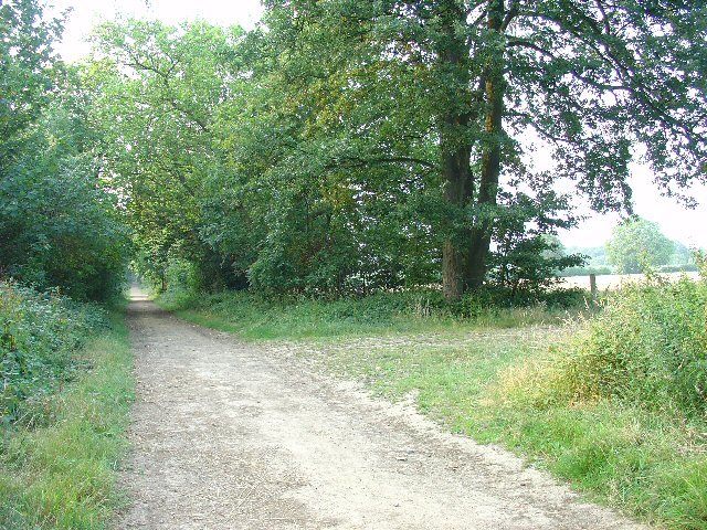
The wood offers several walking trails, allowing visitors to explore its natural beauty at their own pace. These paths wind through ancient woodland, providing an opportunity to immerse oneself in its tranquility. For those seeking a longer trek, Sheephovel Wood is conveniently connected to a network of footpaths that extend into the surrounding countryside.

With its idyllic setting and abundance of natural wonders, Sheephovel Wood is a haven for those seeking respite from the hustle and bustle of everyday life. Whether you are a nature enthusiast, a keen hiker, or simply someone looking to reconnect with nature, a visit to Sheephovel Wood promises a truly enriching experience.

If you have any feedback on the listing, please let us know in the comments section below.

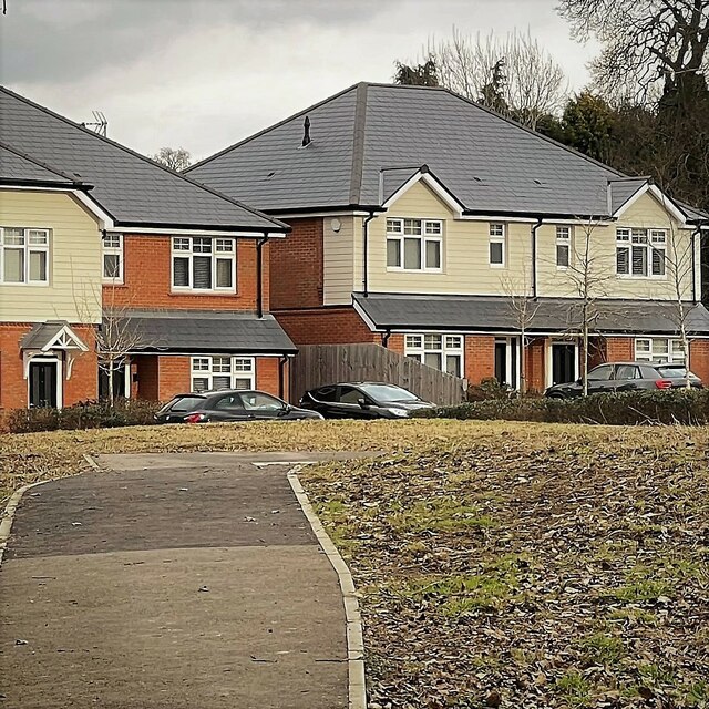
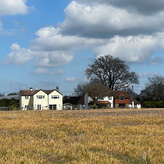
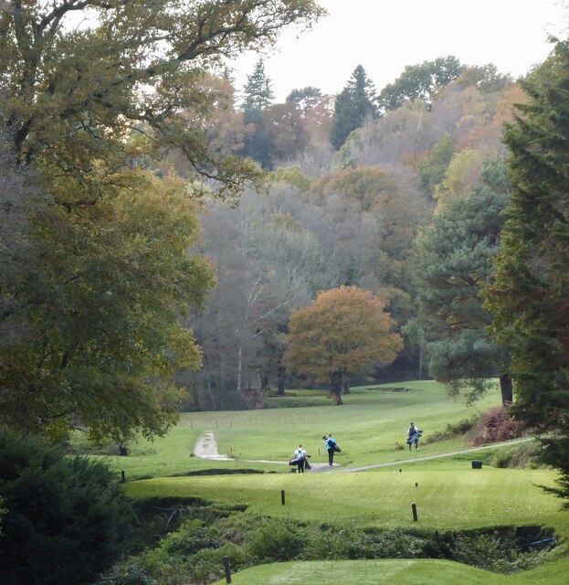
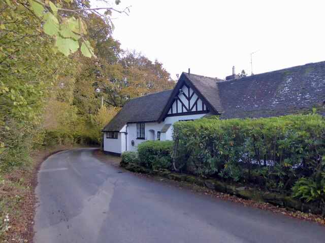
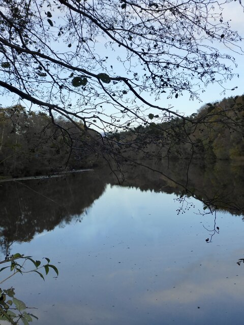
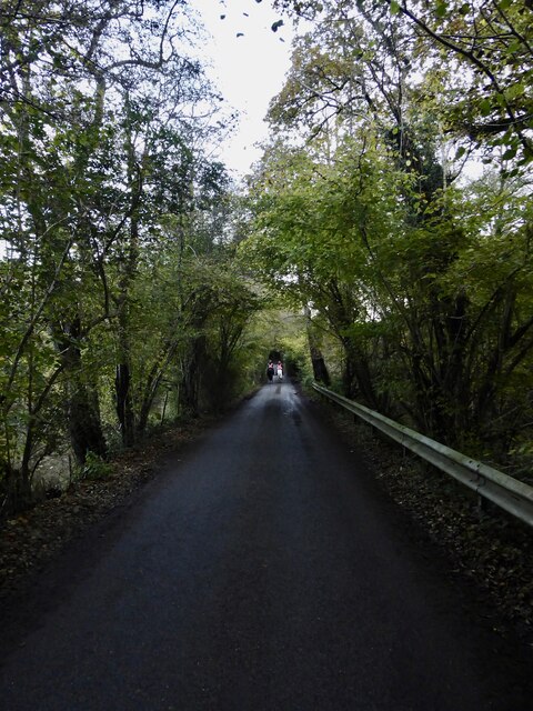
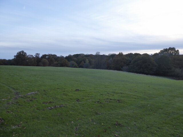
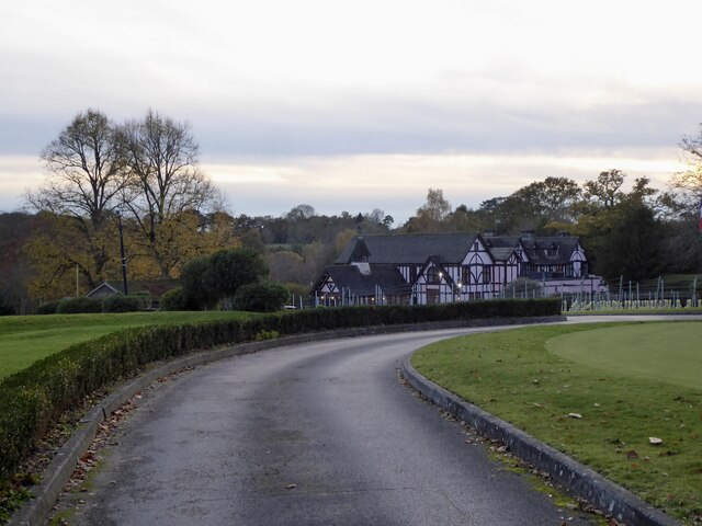
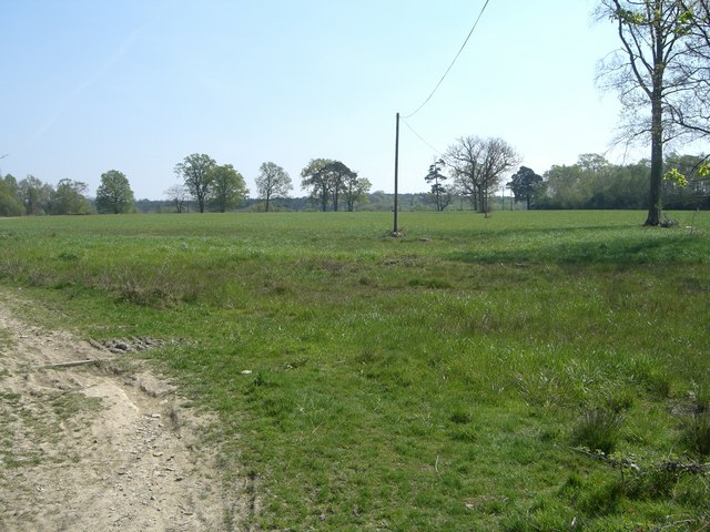
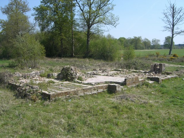
Sheephovel Wood Images

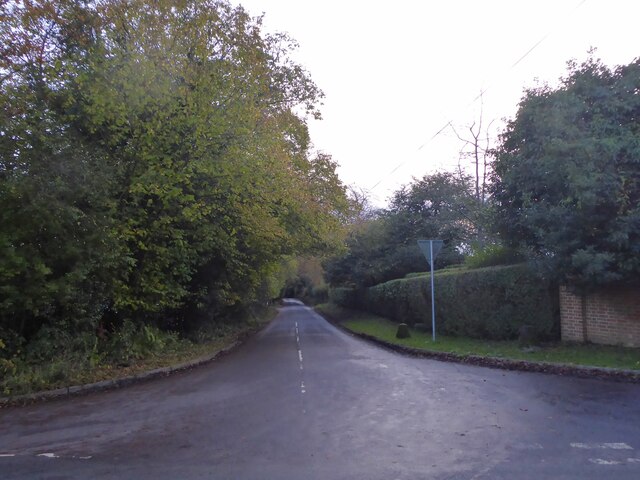
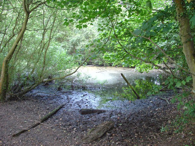
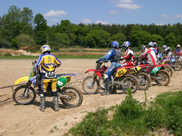
Images are sourced within 2km of 51.0497/-0.29104187 or Grid Reference TQ1929. Thanks to Geograph Open Source API. All images are credited.

Oaks, Monk's Gate (1) There are quite a number of fine old specimens in the area, perhaps relics of former parkland.
Oaks, Monk's Gate (1)
There are quite a number of fine old specimens in the area, perhaps relics of former parkland.
Oaks, Monk's Gate (2) There are quite a number of fine old specimens in the area, perhaps relics of former parkland.
Oaks, Monk's Gate (2)
There are quite a number of fine old specimens in the area, perhaps relics of former parkland.
New houses in Coolhurst Close
Rears of houses on the A281
Inholms Gill A tributary of the River Arun that rises in St Leonard's Forest.
Inholms Gill
A tributary of the River Arun that rises in St Leonard's Forest.
Track, St Leonard's Forest The surfaced track heads north from the car park on Hammerpond Road to Mick's Cross.
Track, St Leonard's Forest
The surfaced track heads north from the car park on Hammerpond Road to Mick's Cross.
Mannings Heath Golf Club This section adjacent to Goldings Stream, viewed from Hammerpond Road, is believed to be the site of the former hammer pond for St Leonards Lower Forge. The works operated from 1554 to 1655, often in conjunction with a furnbace built on the site as well as the Upper Forge. <a href="https://www.geograph.org.uk/photo/7654210">TQ2129 : Hawkins Pond</a> was a pen pond for the Lower Forge.
Mannings Heath Golf Club
This section adjacent to Goldings Stream, viewed from Hammerpond Road, is believed to be the site of the former hammer pond for St Leonards Lower Forge. The works operated from 1554 to 1655, often in conjunction with a furnbace built on the site as well as the Upper Forge. TQ2129 : Hawkins Pond was a pen pond for the Lower Forge.
Bucks Head, Buckshead Hill, Bucks Head The cottage appears to date back to the 19th century and is one of a couple of buildings that make up the hamlet of Bucks Head that is located on a ridge between two former hammer ponds.
Bucks Head, Buckshead Hill, Bucks Head
The cottage appears to date back to the 19th century and is one of a couple of buildings that make up the hamlet of Bucks Head that is located on a ridge between two former hammer ponds.
Hawkins Pond Built as a pen pond for St Leonards Lower Forge that operated between 1554 and 1655. Now used as a private fishing pond.
Hawkins Pond
Built as a pen pond for St Leonards Lower Forge that operated between 1554 and 1655. Now used as a private fishing pond.
Pond Bay, Hawkins Pond The dam for <a href="https://www.geograph.org.uk/photo/7654210">TQ2129 : Hawkins Pond</a> that was built as a pen pond for St Leonards Lower Forge that operated between 1554 and 1655. Now carrying Hammerpond Road.
Pond Bay, Hawkins Pond
The dam for TQ2129 : Hawkins Pond that was built as a pen pond for St Leonards Lower Forge that operated between 1554 and 1655. Now carrying Hammerpond Road.
Cinderbank Copse Within the copse between Frenchbridge Gill and Goldins Stream is the site of St Leonards Lower Forge and Furnace that operated from 1554 to 1655. The main pond, see <a href="https://www.geograph.org.uk/photo/7654192">TQ2128 : Mannings Heath Golf Club</a>, does not survive, but a pen pond, <a href="https://www.geograph.org.uk/photo/7654201">TQ2128 : Pond Bay, St Leonards Upper Forge</a>, does. Now part of Mannings Heath Golf Club.
Cinderbank Copse
Within the copse between Frenchbridge Gill and Goldins Stream is the site of St Leonards Lower Forge and Furnace that operated from 1554 to 1655. The main pond, see TQ2128 : Mannings Heath Golf Club, does not survive, but a pen pond, TQ2128 : Pond Bay, St Leonards Upper Forge, does. Now part of Mannings Heath Golf Club.
Club House, Mannings Heath Golf Course Opened in 1905 the site contains 36 holes spread over two courses; Waterfall, the original course, and Kingfisher.
Club House, Mannings Heath Golf Course
Opened in 1905 the site contains 36 holes spread over two courses; Waterfall, the original course, and Kingfisher.
Goldings Lane Viewed from the junction with Hammerpond Road. The lane heads south to Mannings Heath.
Goldings Lane
Viewed from the junction with Hammerpond Road. The lane heads south to Mannings Heath.
Rural Bridleway near Horsham, West Sussex This bridleway runs up a straight avenue of trees that cuts across the old St. Leonards estate from a gate lodge on the public road to the "Big House". Offered a very pleasant cycle ride on the day of the photo! Photo taken looking N along the avenue. Corn fields can be seen on the other side of the trees on the right.
Rural Bridleway near Horsham, West Sussex
This bridleway runs up a straight avenue of trees that cuts across the old St. Leonards estate from a gate lodge on the public road to the "Big House". Offered a very pleasant cycle ride on the day of the photo! Photo taken looking N along the avenue. Corn fields can be seen on the other side of the trees on the right.
Stew Pond, adjacent to bridleway, St Leonards Park Estate, Near Horsham, West Sussex. The original purpose of this pond (and an adjacent pond) is not obvious, but its proximity to the main estate buildings may mean that it was used as water storage or a fish pond to supply the estate. Relatively overgrown and unused these days!
Stew Pond, adjacent to bridleway, St Leonards Park Estate, Near Horsham, West Sussex.
The original purpose of this pond (and an adjacent pond) is not obvious, but its proximity to the main estate buildings may mean that it was used as water storage or a fish pond to supply the estate. Relatively overgrown and unused these days!
Motocross track near to Horsham, West Sussex A view facing roughly north of the start line, with St. Leonard's forest in the background.
Motocross track near to Horsham, West Sussex
A view facing roughly north of the start line, with St. Leonard's forest in the background.
Turf  Plain Turf Plain looking to the south east.  The ground dips just beyond the trees to Sheepwash Ghyll and then rises to Scragged Oak Hill in St Leonard's Forest.
Bottom left of the picture passes the High Weald Landscape Trail.
Turf Plain
Turf Plain looking to the south east. The ground dips just beyond the trees to Sheepwash Ghyll and then rises to Scragged Oak Hill in St Leonard's Forest. Bottom left of the picture passes the High Weald Landscape Trail.
Turf Plain Lodge The ground floor pattern of Turf Plain Lodge can be clearly seen.  The High Weald Landscape Trail passes just beyond the remains.
Turf Plain Lodge
The ground floor pattern of Turf Plain Lodge can be clearly seen. The High Weald Landscape Trail passes just beyond the remains.
Show me another place!

Sheephovel Wood is located at Grid Ref: TQ1929 (Lat: 51.0497, Lng: -0.29104187)

Administrative County: West Sussex

District: Horsham

Police Authority: Sussex

What 3 Words

///rules.freed.video. Near Horsham, West Sussex

Related Wikis

Mannings Heath

Mannings Heath is a village in the civil parish of Nuthurst and the Horsham District of West Sussex, England. The village is on the A281 road, 2 miles...

Mannings Heath Golf & Wine Estate

Mannings Heath Golf & Wine Estate is located in Mannings Heath, Horsham in the south of England. The 500 acre parkland site includes two golf courses and...

Horsham Riverside (electoral division)

Horsham Riverside is an electoral division of West Sussex in the United Kingdom and returns one member to sit on West Sussex County Council. == Extent... ==

St Leonard's Park Ponds

St Leonard's Park Ponds is a 3.9-hectare (9.6-acre) biological Site of Special Scientific Interest east of Horsham in West Sussex.These ponds and adjacent...

The Forest School, Horsham

The Forest School is a comprehensive secondary school in Horsham, West Sussex, England. It educates students between the ages of 11 and 16 and is a specialist...

St Leonard's Forest SSSI

St Leonard's Forest SSSI is an 85.4-hectare (211-acre) biological Site of Special Scientific Interest east of Horsham in West Sussex. The SSSI is in two...

Monk's Gate

Monk's Gate is a hamlet in the civil parish of Nuthurst, in the Horsham District of West Sussex, England. It lies on the A281 road 3 miles (5 km) southeast...

Millais School

Millais School is a girls' secondary school for students aged 11–16 in Horsham, West Sussex, England. There is no sixth form. The number on roll is over...

Nearby Amenities

Located within 500m of 51.0497,-0.29104187
Bus Stop
Rickfield Farm
Bus: yes
Naptan AtcoCode: 4400HR1064
Naptan Bearing: NW
Naptan CommonName: Rickfield Farm
Naptan Indicator: adj
Naptan Landmark: Brighton Road
Naptan NaptanCode: wsxgdadp
Naptan Street: A281 Brighton Road
Naptan Verified: no
Public Transport: platform
Source: naptan_import
Lat/Long: 51.0474258/-0.2946095
Bus Stop
Rickfield Farm
Bus: yes
Naptan AtcoCode: 4400HR1065
Naptan Bearing: SE
Naptan CommonName: Rickfield Farm
Naptan Indicator: opp
Naptan Landmark: Brighton Road
Naptan NaptanCode: wsxgdadt
Naptan Street: A281 Brighton Road
Naptan Verified: no
Public Transport: platform
Source: naptan_import
Lat/Long: 51.0475504/-0.2945193
Man Made: water_well
Lat/Long: 51.0482551/-0.2955364
Post Office
Mannings Heath Post Office
Addr City: Horsham
Addr Postcode: RH13 6HY
Addr Street: Brighton Road
Addr Suburb: Mannings Heath
Brand: Post Office
Brand Wikidata: Q1783168
Opening Hours: Mo-Su 08:00-18:00
Ref Pol Id: 148433
Website: https://www.postoffice.co.uk/branch-finder/1779125/mannings-heath
Lat/Long: 51.0452841/-0.2907721
Atm
Lat/Long: 51.0453043/-0.2907241
Birchen Bridge
Place: locality
Lat/Long: 51.0493152/-0.2980431
Power: pole
Lat/Long: 51.0476785/-0.2878531
Power: pole
Lat/Long: 51.0463577/-0.2888949
Power: pole
Lat/Long: 51.0455183/-0.2895434
Power: pole
Lat/Long: 51.048444/-0.2872504
Turning Circle
Lat/Long: 51.0505215/-0.2848334
Ford: yes
Lat/Long: 51.0522328/-0.2918969
The data included in this document is from www.openstreetmap.org. The data is made available under ODbL.

Have you been to Sheephovel Wood?

Leave your review of Sheephovel Wood below (or comments, questions and feedback).