Sir John's Wood

Wood, Forest in Bedfordshire

England

Sir John's Wood

The driveway to Abbotsley Hotel, Golf and Country Club
The driveway to Abbotsley Hotel, Golf and Country Club Credit: Jeff Tomlinson

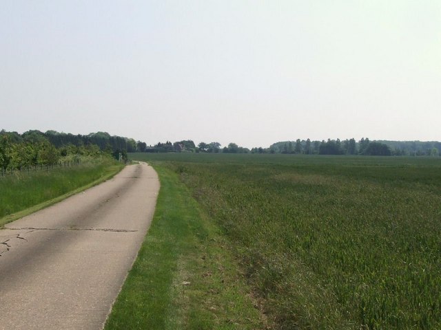
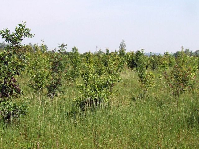
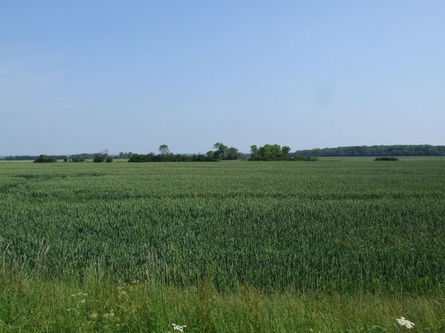
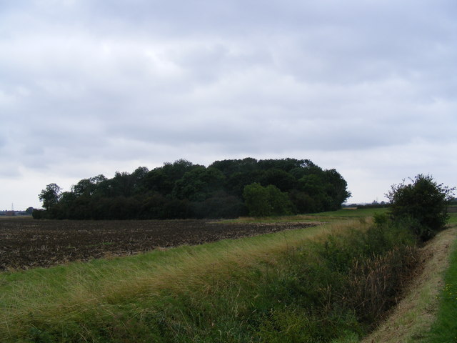
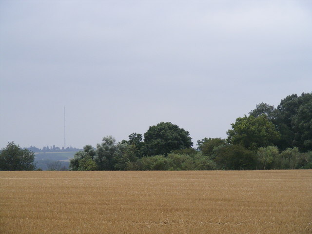
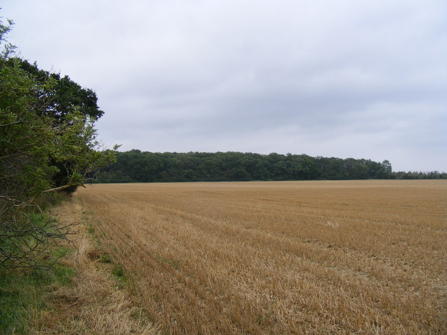
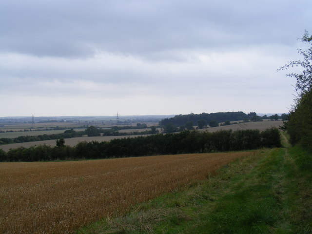
Sir John's Wood is a picturesque forest located in Bedfordshire, England. Covering an area of approximately 100 acres, this woodland is known for its diverse flora and fauna, making it a popular destination for nature enthusiasts and hikers alike.

The forest is named after Sir John, a local landowner who once owned the land on which the woodland now stands. It is believed to have been established in the 19th century and has since been carefully preserved to maintain its natural beauty and ecological significance.

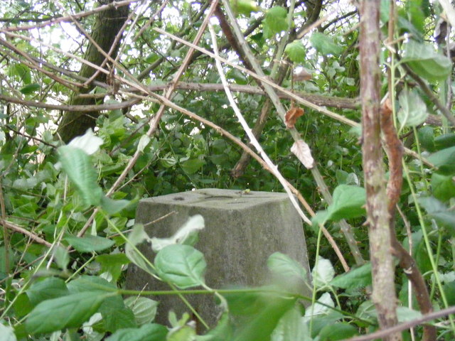
Visitors to Sir John's Wood can expect to find a variety of tree species, including oak, beech, and birch, as well as a rich undergrowth of ferns, mosses, and wildflowers. The forest is also home to a range of wildlife, such as deer, foxes, and various species of birds.

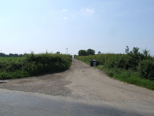
In addition to its natural beauty, Sir John's Wood offers several walking trails and picnic areas for visitors to enjoy. Whether you're looking to explore the great outdoors or simply unwind in a serene setting, this woodland provides a peaceful escape from the hustle and bustle of everyday life.

If you have any feedback on the listing, please let us know in the comments section below.

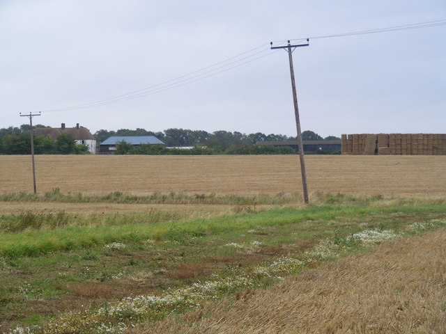
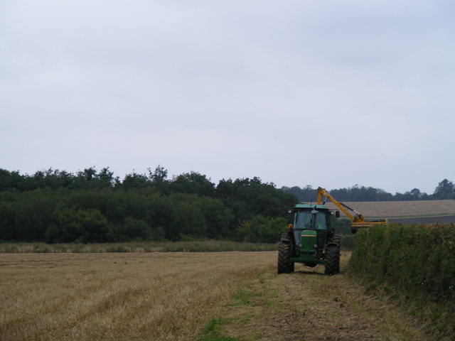
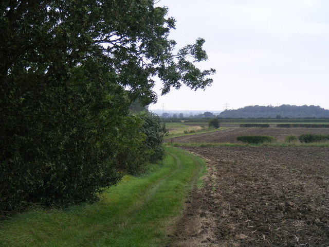
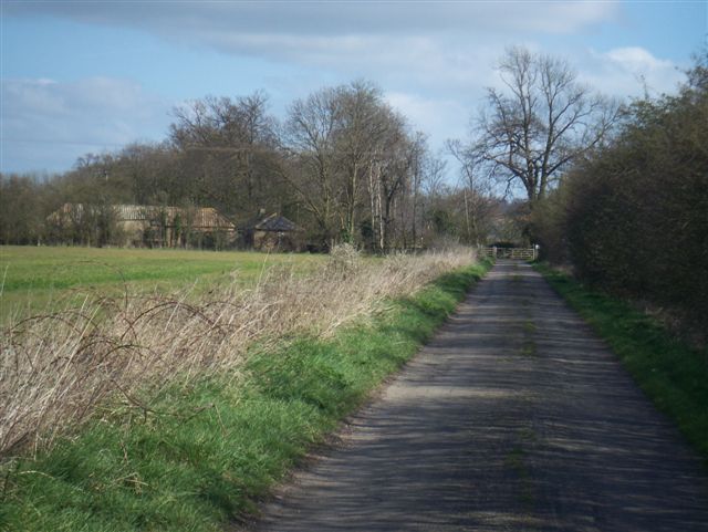
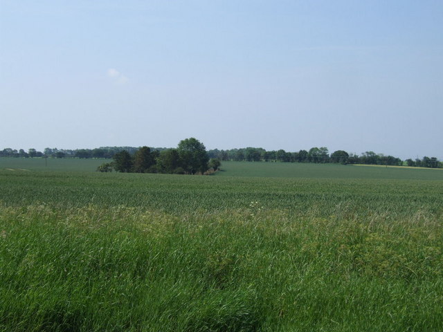
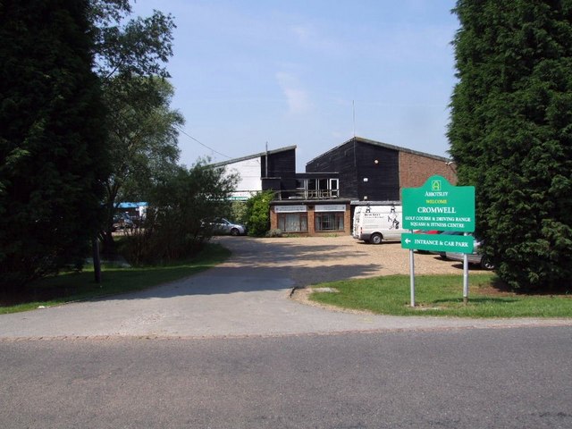
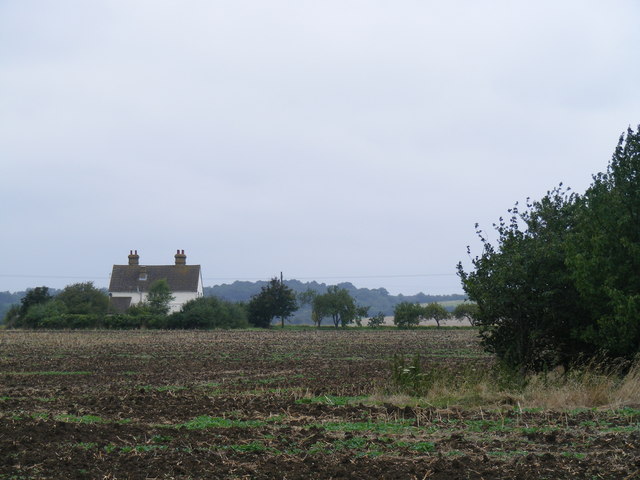
Sir John's Wood Images

Images are sourced within 2km of 52.184364/-0.25188881 or Grid Reference TL1955. Thanks to Geograph Open Source API. All images are credited.

The driveway to Abbotsley Hotel, Golf and Country Club
A new wood, next to the driveway to Abbotsley Hotel
The driveway to Highfield Farm
Field across the road from Highfield Farm
Stone Hill farm Approaching Stone Hill farm from the west, with daisy clumps along the path, and an enormous pile of bales to the right.
Stone Hill farm
Approaching Stone Hill farm from the west, with daisy clumps along the path, and an enormous pile of bales to the right.
Stone Hill farm Hedge trimming near the copse to the south of the farm.
Stone Hill farm
Hedge trimming near the copse to the south of the farm.
Footpath from Tetworth to Cold Arbour
Large copse NE of Woodbury Low Farm As viewed from the footpath between Tetworth and Cold Arbour.
Large copse NE of Woodbury Low Farm
As viewed from the footpath between Tetworth and Cold Arbour.
Woodbury Lodge Farm
Woodbury Lodge Farm
Small wood near Rectory Farm
Cromwell Golf Club
Cromwell Golf Club
Woodbury Low Farm Approaching Woodbury Low Farm on the Roman Road - now known as the Skylark Ride.
Woodbury Low Farm
Approaching Woodbury Low Farm on the Roman Road - now known as the Skylark Ride.
Skylark Ride This horse-sized footbridge permits the Skylark Ride (Roman Road) to continue northwards.
Skylark Ride
This horse-sized footbridge permits the Skylark Ride (Roman Road) to continue northwards.
View across field to the south of Crane Hill trig point View from the trig station on Crane Hill across the field to the south (with Sandy TV transmitter on the horizon).
View across field to the south of Crane Hill trig point
View from the trig station on Crane Hill across the field to the south (with Sandy TV transmitter on the horizon).
View south east from Crane Hill trig point This view looks south-eastwards back towards the line of the Roman Road. The trig pillar is somewhere in the vast hedge behind the camera.
View south east from Crane Hill trig point
This view looks south-eastwards back towards the line of the Roman Road. The trig pillar is somewhere in the vast hedge behind the camera.
Trig point on Crane Hill Ah! There's the trig pillar hiding in the middle of the hedge.
Trig point on Crane Hill
Ah! There's the trig pillar hiding in the middle of the hedge.
View west along hedge from Crane Hill trigpoint
The circular copse on Alington Hill
Show me another place!

Sir John's Wood is located at Grid Ref: TL1955 (Lat: 52.184364, Lng: -0.25188881)

Unitary Authority: Central Bedfordshire

Police Authority: Bedfordshire

What 3 Words

///occupiers.warriors.yield. Near Little Barford, Bedfordshire

Nearby Locations

Crane Hill Sir John's Wood

Related Wikis

Eynesbury Hardwicke

Eynesbury Hardwicke is a former civil parish, now in the parishes of Abbotsley and St Neots, in the Huntingdonshire part of Cambridgeshire, England. At...

Tempsford railway station

Tempsford railway station was a railway station built by the Great Northern Railway to serve the village of Tempsford in Bedfordshire, England. == History... ==

Little Barford

Little Barford is a hamlet and civil parish in the Borough of Bedford in Bedfordshire, England about 7 miles (11 km) northeast of the county town of Bedford...

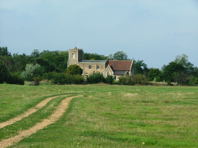
St Denys' Church, Little Barford

St Denys' Church is a redundant Anglican church in the village of Little Barford, Bedfordshire, England. It is recorded in the National Heritage List...

Nearby Amenities

Located within 500m of 52.184364,-0.25188881
Power: pole
Lat/Long: 52.1804574/-0.2551571
The data included in this document is from www.openstreetmap.org. The data is made available under ODbL.

Have you been to Sir John's Wood?

Leave your review of Sir John's Wood below (or comments, questions and feedback).