Ash Holt

Wood, Forest in Lincolnshire East Lindsey

England

Ash Holt

Goddard Hill and Warren Hill to Panton Park: aerial 2023 See also <a href="https://www.geograph.org.uk/photo/7629789">TF1879 : Warren Farm to Panton Park: aerial 2023</a> and <a href="https://www.geograph.org.uk/photo/7629829">TF1880 : Panton Park and stable block: aerial 2023</a>.
Goddard Hill and Warren Hill to Panton Park: aerial 2023 Credit: Chris

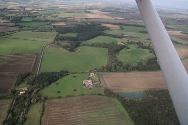
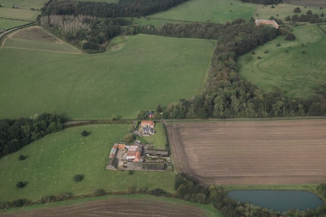
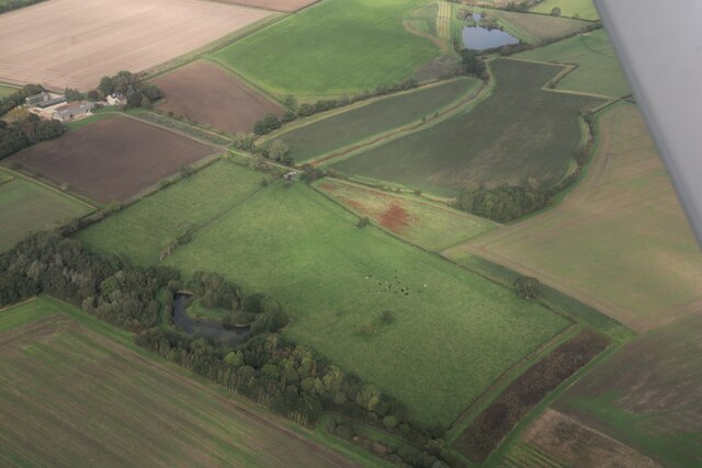
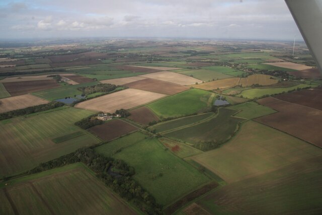
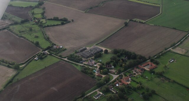
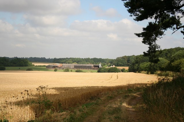
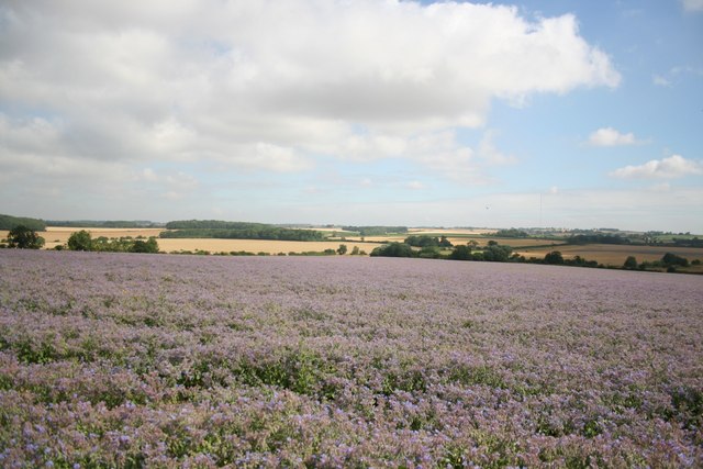
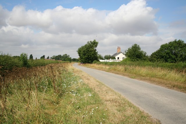
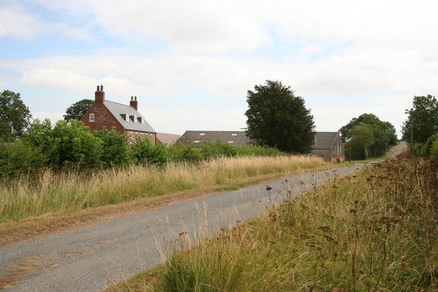
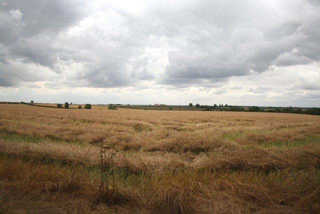
Ash Holt is a small village located in the Lincolnshire county of England. Situated amidst the picturesque countryside, it is known for its abundant woodlands and serene forest areas. The village is nestled in a valley, surrounded by rolling hills and scenic landscapes, making it an ideal destination for nature enthusiasts and those seeking a tranquil retreat.

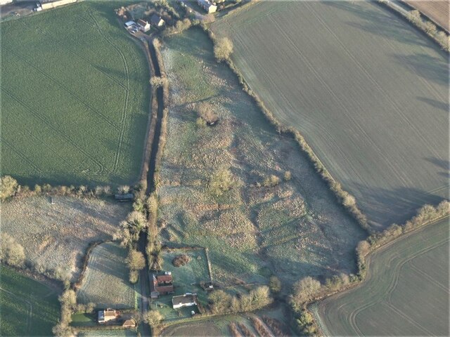
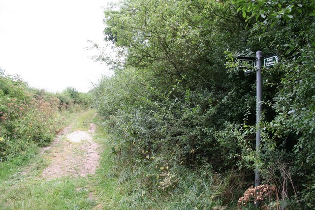
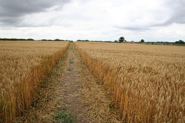
The woodlands of Ash Holt are a prominent feature of the village, covering a significant portion of its area. These dense forests are home to a diverse range of flora and fauna, including oak, beech, and birch trees, providing a habitat for various species of birds, mammals, and insects. The forest areas offer numerous opportunities for outdoor activities such as hiking, cycling, and wildlife spotting.

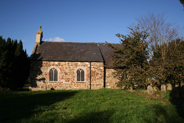
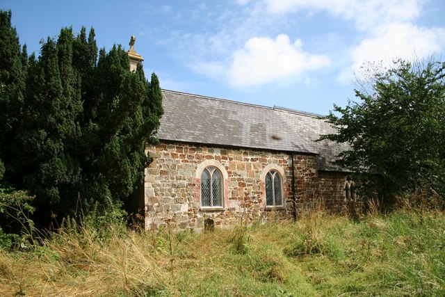
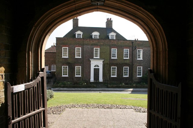
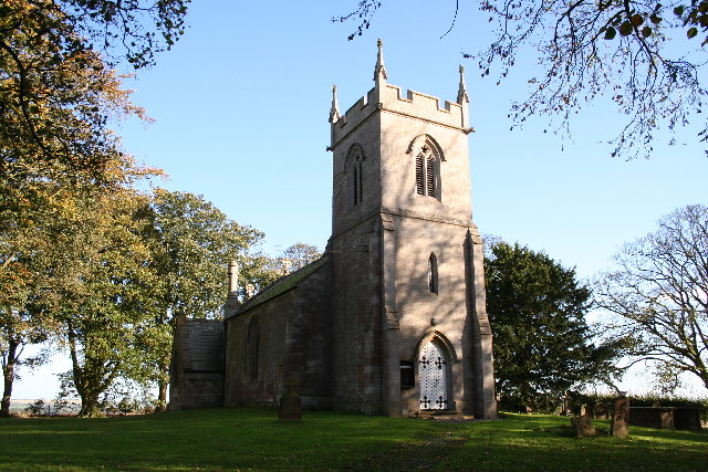
In addition to its natural beauty, Ash Holt is also known for its historical significance. The village boasts a rich heritage, with evidence of human occupation dating back to the Roman era. The remains of ancient settlements and archaeological sites can be found scattered throughout the area, providing insights into the village's past.

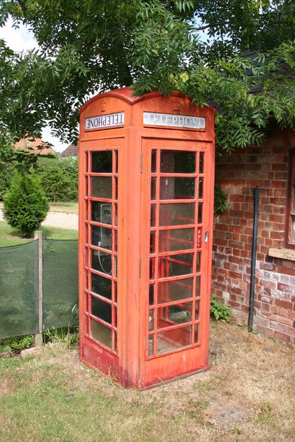
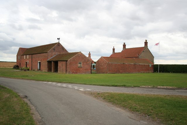
Despite its small size, Ash Holt is a close-knit community with a friendly and welcoming atmosphere. The village has a few amenities including a local pub, a small convenience store, and a community hall that serves as a gathering place for social events and activities.

Overall, Ash Holt offers a peaceful and idyllic setting, allowing visitors to immerse themselves in the beauty of nature while exploring its rich history.

If you have any feedback on the listing, please let us know in the comments section below.

Ash Holt Images

Images are sourced within 2km of 53.289273/-0.20882228 or Grid Reference TF1978. Thanks to Geograph Open Source API. All images are credited.

Goddard Hill and Warren Hill to Panton Park: aerial 2023 See also <a href="https://www.geograph.org.uk/photo/7629789">TF1879 : Warren Farm to Panton Park: aerial 2023</a> and <a href="https://www.geograph.org.uk/photo/7629829">TF1880 : Panton Park and stable block: aerial 2023</a>.
Goddard Hill and Warren Hill to Panton Park: aerial 2023
Warren Farm to Panton Park: aerial 2023 See also <a href="https://www.geograph.org.uk/photo/7629783">TF1879 : Goddard Hill and Warren Hill to Panton Park: aerial 2023</a>.
Warren Farm to Panton Park: aerial 2023
Benniworth Moor: aerial 2023 (1)
Benniworth Moor: aerial 2023 (2)
Shrunken Medieval Village of Sotby: aerial 2022 <span class="nowrap"><a title="https://www.heritagegateway.org.uk/Gateway/Results_Single.aspx?uid=MLI89137&resourceID=1006" rel="nofollow ugc noopener" href="https://www.heritagegateway.org.uk/Gateway/Results_Single.aspx?uid=MLI89137&resourceID=1006">Link</a><img style="margin-left:2px;" alt="External link" title="External link - shift click to open in new window" src="https://s1.geograph.org.uk/img/external.png" width="10" height="10"/></span>

The earthworks are picked out by the early January morning frost.
Shrunken Medieval Village of Sotby: aerial 2022
LinkExternal link The earthworks are picked out by the early January morning frost.
Sotby: aerial 2023
Sotby: aerial 2023
St.Peter's church, Sotby, Lincs. Sadly un-used and dilapidated, St.Peter's has a splendid Norman chancel arch.
St.Peter's church, Sotby, Lincs.
Sadly un-used and dilapidated, St.Peter's has a splendid Norman chancel arch.
St.Peter's church nave Looking eastwards towards the Norman chancel arch of St.Peter's church, Sotby
St.Peter's church nave
Looking eastwards towards the Norman chancel arch of St.Peter's church, Sotby
Warren Farm View north to Warren Farm from Warren Hill
Warren Farm
View north to Warren Farm from Warren Hill
View from Warren Hill trig point View across a field of borage and the Wolds beyond from Warren Hill trig point
View from Warren Hill trig point
View across a field of borage and the Wolds beyond from Warren Hill trig point
October Cottage Between Sotby and Panton, the owners of October Cottage appear to be restoring a large boat - an unusual thing to find in the Lincolnshire Wolds.
October Cottage
Between Sotby and Panton, the owners of October Cottage appear to be restoring a large boat - an unusual thing to find in the Lincolnshire Wolds.
St.Peter's church Still empty and overgrown, St.Peter's church has acquired some new windows and a wasp's nest in the roof since my last visit.
St.Peter's church
Still empty and overgrown, St.Peter's church has acquired some new windows and a wasp's nest in the roof since my last visit.
Sotby phone box These old red boxes are becoming a rarity these days - one of the TELEPHONE panels has been put in back-to-front and upside-down.
Sotby phone box
These old red boxes are becoming a rarity these days - one of the TELEPHONE panels has been put in back-to-front and upside-down.
Glebe Farm from Dog Hill Glebe Farm and the road to Market Stainton near Sotby
Glebe Farm from Dog Hill
Glebe Farm and the road to Market Stainton near Sotby
View towards Corner Farm View across fields of oil seed rape towards Corner Farm, or Sturton Harden as it's called on old maps
View towards Corner Farm
View across fields of oil seed rape towards Corner Farm, or Sturton Harden as it's called on old maps
Three ways At the junction of the bridleways
Three ways
At the junction of the bridleways
Bridleway to Corner Farm The last leg of the bridleway across the fields near Corner Farm
Bridleway to Corner Farm
The last leg of the bridleway across the fields near Corner Farm
Corner Farm Marked Sturton Harden on some old maps
Corner Farm
Marked Sturton Harden on some old maps
Show me another place!

Ash Holt is located at Grid Ref: TF1978 (Lat: 53.289273, Lng: -0.20882228)

Administrative County: Lincolnshire

District: East Lindsey

Police Authority: Lincolnshire

What 3 Words

///confining.according.arise. Near Wragby, Lincolnshire

Nearby Locations

Ash Holt

Related Wikis

Sotby

Sotby is a village and civil parish in the East Lindsey district of Lincolnshire, England. It is situated 15 miles (24 km) north-east from the city and...

Panton, Lincolnshire

Panton is a village in the civil parish of East Barkwith, in the East Lindsey of district, Lincolnshire, England. It is situated approximately 13 miles...

Hatton, Lincolnshire

Hatton is a small village and civil parish in the East Lindsey district of Lincolnshire, England. It is situated 3 miles (5 km) east of the town of Wragby...

Great Sturton

Great Sturton is a hamlet and civil parish in the East Lindsey district of Lincolnshire, England. It is situated approximately 7 miles (11 km) from the...

Hanby Hall

Hanby Hall is a Grade II* listed early 18th-century building in Alford, Lincolnshire. Hanby Hall was built by John Andrews. It is situated opposite St...

Ranby, Lincolnshire

Ranby is a village and civil parish in the East Lindsey district of Lincolnshire, England. It is situated about 6 miles (10 km) north-west from the market...

East Barkwith railway station

East Barkwith railway station was a railway station that served the village of East Barkwith, Lincolnshire, England between 1874 and 1958, on the Louth...

Market Stainton

Market Stainton is a village and civil parish in the East Lindsey district of Lincolnshire, England. It is situated approximately 7 miles (11 km) north...

Nearby Amenities

Located within 500m of 53.289273,-0.20882228
Power: pole
Lat/Long: 53.2855942/-0.2101629
Power: pole
Lat/Long: 53.2860587/-0.2097738
Power: pole
Lat/Long: 53.2869532/-0.2097684
Power: pole
Lat/Long: 53.2878035/-0.2097872
Power: pole
Lat/Long: 53.2886763/-0.2097952
Power: pole
Lat/Long: 53.2894991/-0.2098913
Power: pole
Lat/Long: 53.2900397/-0.2097395
Power: pole
Lat/Long: 53.2909452/-0.209507
The data included in this document is from www.openstreetmap.org. The data is made available under ODbL.

Have you been to Ash Holt?

Leave your review of Ash Holt below (or comments, questions and feedback).