Aspenden
Settlement in Hertfordshire East Hertfordshire
England
Aspenden
Aspenden is a small village located in the county of Hertfordshire, England. Situated approximately 30 miles north of London, it is part of the East Hertfordshire district. The village has a population of around 500 residents, offering a tight-knit and close community atmosphere.
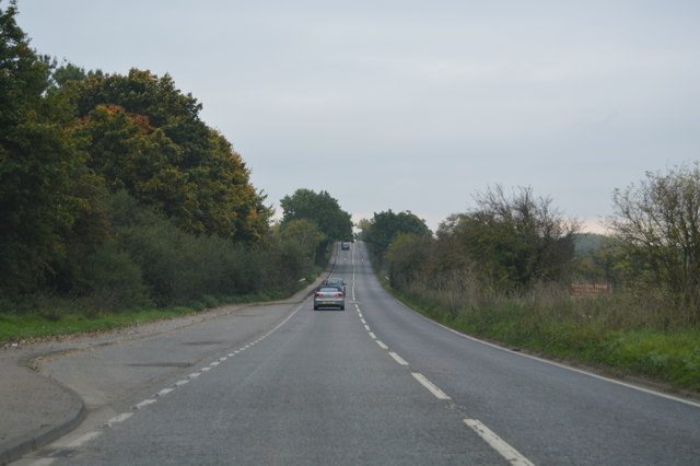
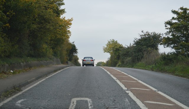
Historically, Aspenden dates back to the Domesday Book of 1086 and has retained much of its traditional charm. The village is known for its picturesque countryside, with rolling hills, meadows, and farmland surrounding the area. This rural setting provides a peaceful and tranquil environment for residents and visitors alike.
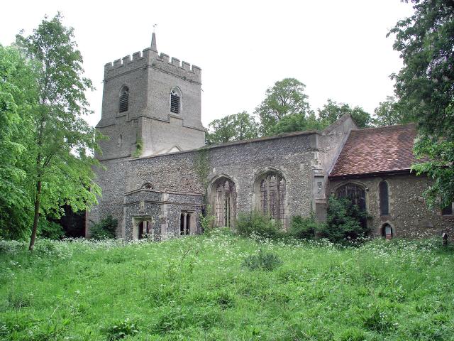
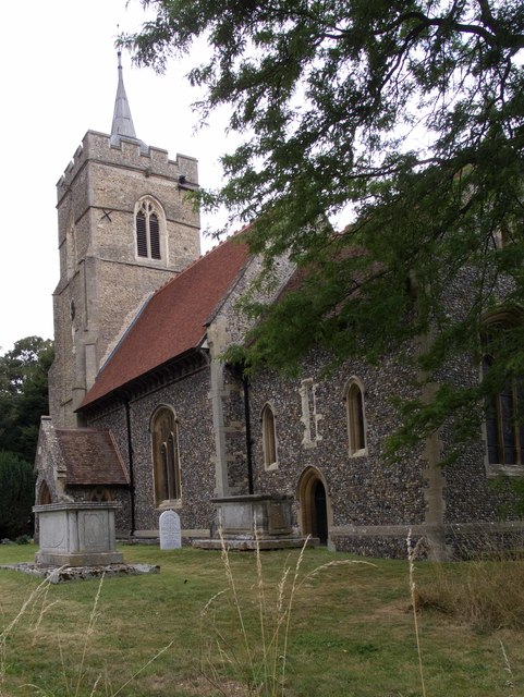
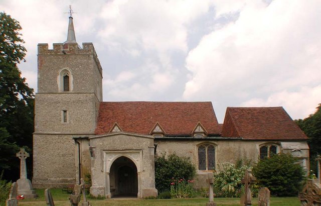
The heart of Aspenden is the St. Mary's Church, an iconic landmark that has stood for centuries. The church's architecture showcases a mix of styles, including Norman and Gothic elements, making it an interesting site for history enthusiasts. Additionally, the village is home to a pub, The Fox and Duck, which serves as a social hub for locals and visitors to enjoy a meal or drink.
The community of Aspenden is known for its strong sense of community spirit, with various events and activities organized throughout the year. These include the annual summer fete, which brings together residents for a day of fun and entertainment. The village also hosts regular social gatherings, such as coffee mornings and village hall meetings, fostering a sense of unity and camaraderie among its residents.
Overall, Aspenden offers a peaceful countryside retreat with a rich history and a welcoming community. Its idyllic setting and strong community spirit make it an attractive place to live or visit for those seeking a quintessential English village experience.
If you have any feedback on the listing, please let us know in the comments section below.
Aspenden Images
Images are sourced within 2km of 51.935976/-0.02101 or Grid Reference TL3628. Thanks to Geograph Open Source API. All images are credited.


![Buntingford from the air Looking south across Ermine Street and the bypass [A10].](https://s3.geograph.org.uk/geophotos/05/46/20/5462067_6420b4c5.jpg)
Aspenden is located at Grid Ref: TL3628 (Lat: 51.935976, Lng: -0.02101)
Administrative County: Hertfordshire
District: East Hertfordshire
Police Authority: Hertfordshire
What 3 Words
///noises.firebird.wiser. Near Buntingford, Hertfordshire
Nearby Locations
Related Wikis
Aspenden
Aspenden is a village and civil parish in the East Hertfordshire district of Hertfordshire, England. It is just to the south of Buntingford. The Prime...

Buntingford railway station
Buntingford railway station is a former station in Buntingford, Hertfordshire, England. It served as the terminus of a branch from the Hertford East Branch...

Benson Memorial Church
The Benson Memorial Church, dedicated to St Richard of Chichester, is an English Roman Catholic church in the Hertfordshire town of Buntingford. Its name...

Buntingford
Buntingford is a market town and civil parish in the district of East Hertfordshire and county of Hertfordshire in England. It lies next to the River Rib...
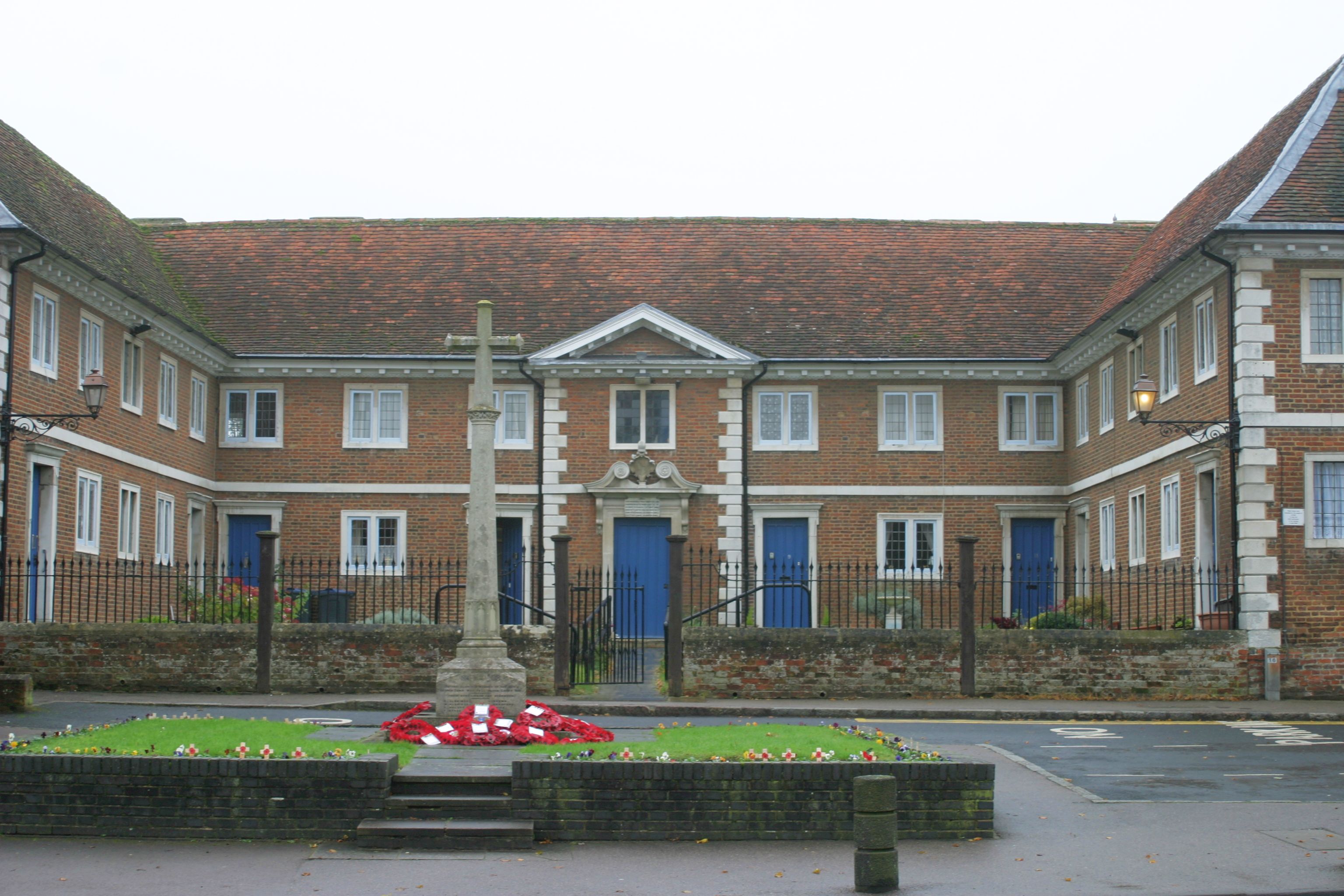
Buntingford almshouses
Buntingford Almshouses is a grade II* listed building on the High street of the Hertfordshire town of Buntingford. The building was erected in 1684 by...
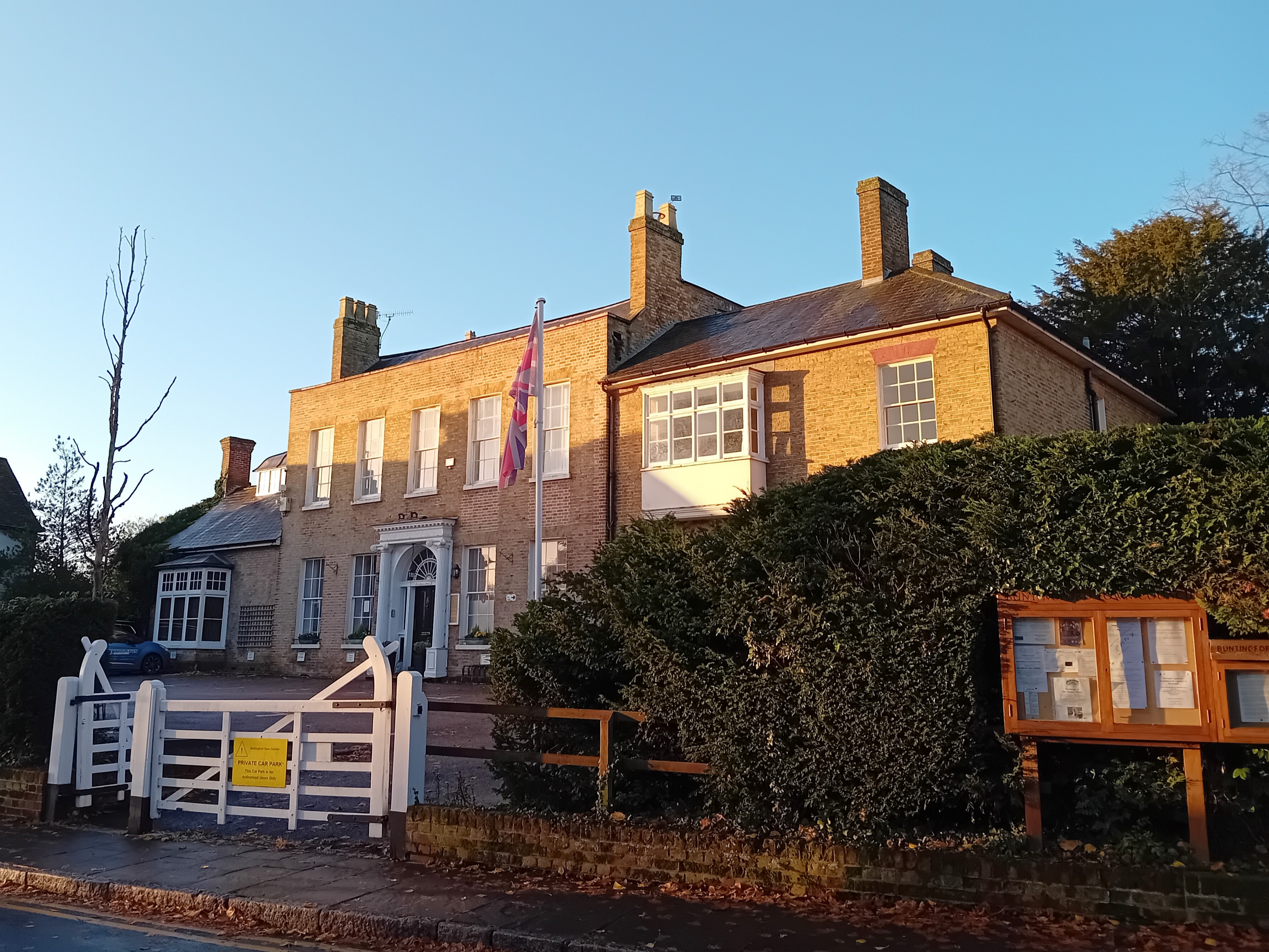
Buntingford Manor House
Buntingford Manor House is an 18th-century building in the town of Buntingford, in Hertfordshire, England. It is a Grade II listed building. == Usage... ==
Braughing Rural District
Braughing was a rural district in Hertfordshire, England from 1935 to 1974. == Creation == Braughing Rural District was created on 1 April 1935 under a...

Buntingford Rural District
Buntingford Rural District was a rural district in Hertfordshire, England from 1894 to 1935, covering the town of Buntingford and a number of surrounding...
Nearby Amenities
Located within 500m of 51.935976,-0.02101Have you been to Aspenden?
Leave your review of Aspenden below (or comments, questions and feedback).