Aspatria
Settlement in Cumberland Allerdale
England
Aspatria

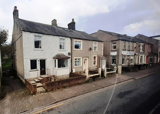
Aspatria is a small town located in the county of Cumberland, in the northwest region of England. Situated about 10 miles northeast of the city of Carlisle, Aspatria is nestled in the picturesque countryside of the Lake District National Park.
With a population of approximately 2,500 people, Aspatria maintains a close-knit community feel. The town's history dates back to the medieval period when it was a prominent agricultural center. Today, agriculture remains an important aspect of Aspatria's economy, with farming and livestock farming playing a significant role in the local industry.
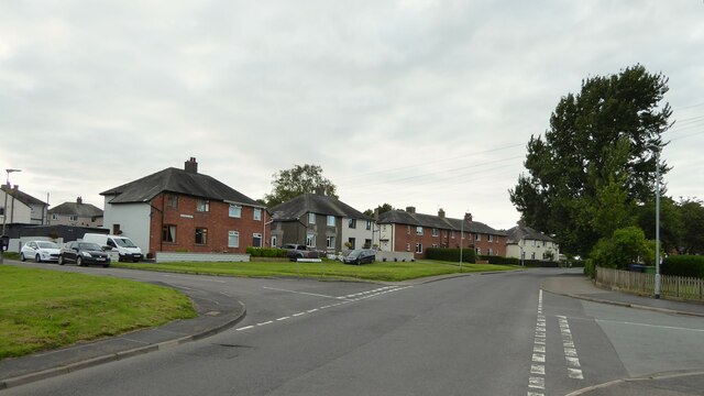
Aspatria is characterized by its charming rural setting, with rolling hills and scenic landscapes surrounding the town. The area offers ample opportunities for outdoor activities, such as hiking, cycling, and exploring the nearby lakes and forests.
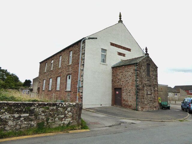
The town itself boasts a range of amenities and services to cater to its residents. There are several local shops, pubs, and restaurants, providing essential goods and leisure options. Aspatria also has a primary school, a secondary school, and a community center that hosts various events and activities throughout the year.
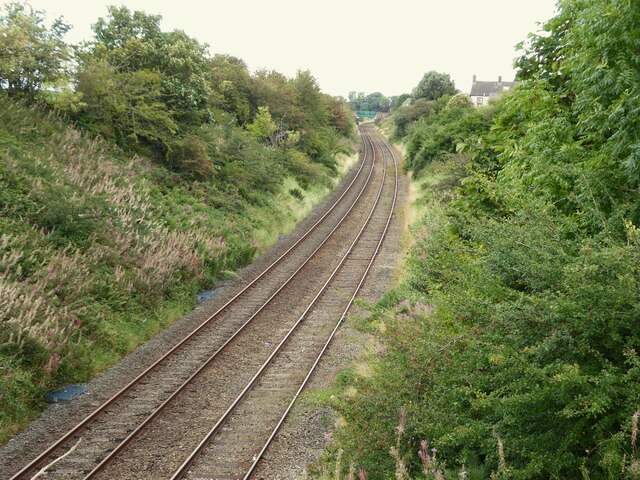
Transportation in Aspatria is primarily facilitated by the road network, with easy access to the A596, which connects the town to Carlisle and other nearby towns. Additionally, the Aspatria railway station provides direct train services to Carlisle, allowing for convenient travel to larger cities and beyond.
Overall, Aspatria offers a peaceful and idyllic living environment with its natural beauty, close community ties, and convenient amenities.
If you have any feedback on the listing, please let us know in the comments section below.
Aspatria Images
Images are sourced within 2km of 54.76347/-3.333446 or Grid Reference NY1441. Thanks to Geograph Open Source API. All images are credited.


Aspatria is located at Grid Ref: NY1441 (Lat: 54.76347, Lng: -3.333446)
Administrative County: Cumbria
District: Allerdale
Police Authority: Cumbria
What 3 Words
///rings.materials.spent. Near Aspatria, Cumbria
Nearby Locations
Related Wikis

Beacon Hill Community School
Beacon Hill Community School is a coeducational secondary school located in Aspatria is the English county of Cumbria.It is a community school administered...
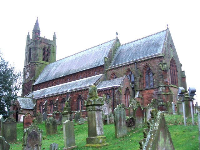
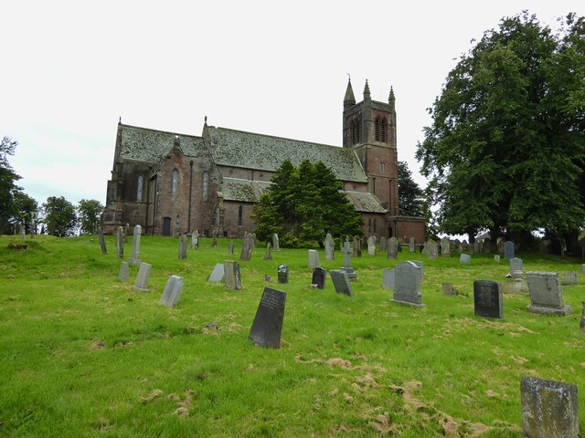
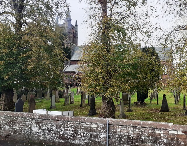
St. Kentigern's Church, Aspatria
St Kentigern's Church stands in the village of Aspatria, Cumbria, England. It is an active Anglican parish church in the rural deanery of Maryport, the...
Aspatria
Aspatria is a town and civil parish in Cumberland, Cumbria, England. The town rests on the north side of the Ellen Valley, overlooking a panoramic view...

A596 road
The A596 is a primary route in Cumbria, in northern England, that runs between Thursby (5 miles (8.0 km) north-east of Wigton) and Workington. For its...
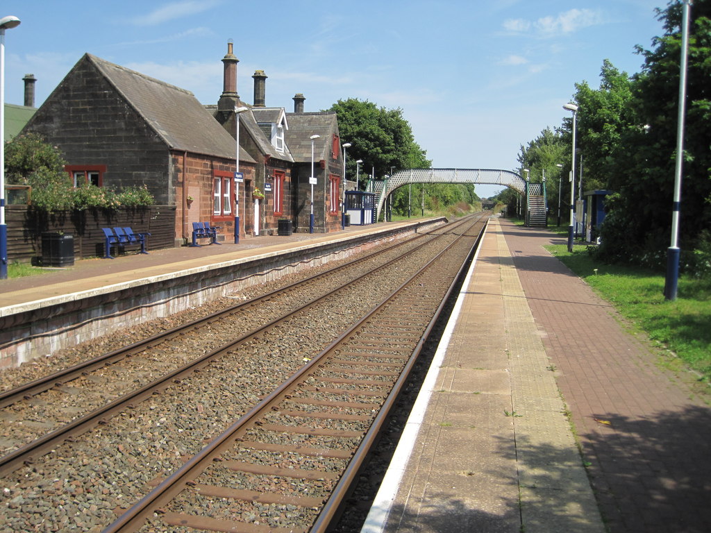
Aspatria railway station
Aspatria railway station is a railway station serving the town of Aspatria in Cumbria, England. It is on the Cumbrian Coast Line, which runs between Carlisle...

Harriston, Cumbria
Harriston is a small hamlet in Cumbria, England, consisting of approximately 100 houses. == Construction == When, in 1868, the trustees of the infant Joseph...
Arkleby railway station
Arkleby railway station was an early railway station on the Maryport and Carlisle Railway, in north-west England, close to the village of Arkleby in Cumbria...

Yearngill
Yearngill is a hamlet in the English county of Cumbria. Yearngill is located less than a mile southeast of the village of Westnewton. It is also located...
Nearby Amenities
Located within 500m of 54.76347,-3.333446Have you been to Aspatria?
Leave your review of Aspatria below (or comments, questions and feedback).