Ball's Covert
Wood, Forest in Hertfordshire Welwyn Hatfield
England
Ball's Covert
Ball's Covert is a picturesque woodland located in the county of Hertfordshire, England. Situated in the village of Wood, also known as Forest, it covers an area of approximately 20 acres. This ancient woodland has a rich history dating back several centuries.
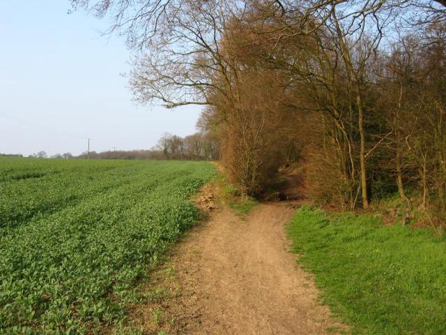
The woodland is home to a diverse range of flora and fauna, making it a haven for nature enthusiasts. The dense canopy of trees, including oak, beech, and ash, provides a habitat for various bird species such as woodpeckers, owls, and songbirds. The forest floor is adorned with a carpet of bluebells during the spring season, creating a stunning visual spectacle.
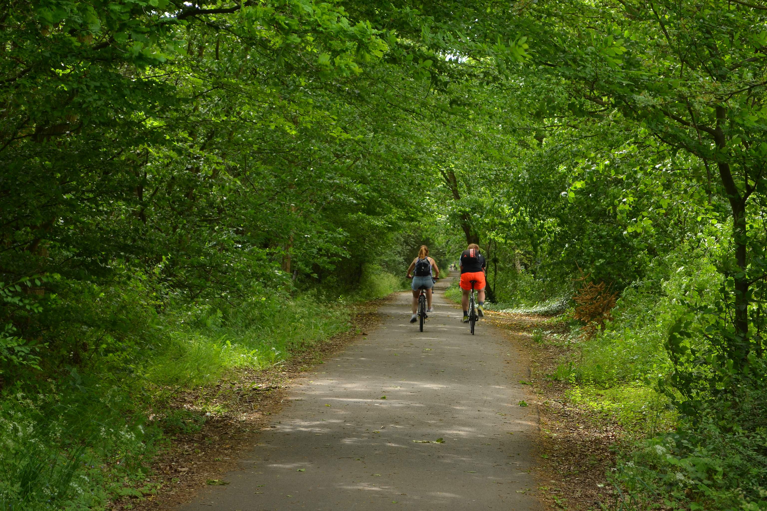
Ball's Covert offers visitors a tranquil and serene environment, ideal for walking, hiking, and enjoying nature. The well-maintained footpaths meander through the woods, allowing visitors to explore its beauty at their own pace. The woodland is also popular among photographers and artists, who are drawn to its natural beauty and serene atmosphere.
The woodland is managed and maintained by the local authorities to preserve its ecological integrity and promote biodiversity. The conservation efforts have been successful in protecting the woodland from development and ensuring its long-term survival.
Overall, Ball's Covert in Hertfordshire is a beautiful woodland that offers a peaceful retreat from the hustle and bustle of everyday life. Its rich biodiversity, well-maintained footpaths, and stunning natural beauty make it a must-visit destination for nature lovers and those seeking tranquility in the heart of England.
If you have any feedback on the listing, please let us know in the comments section below.
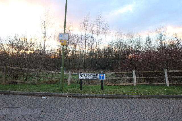
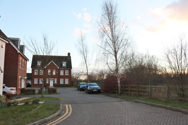
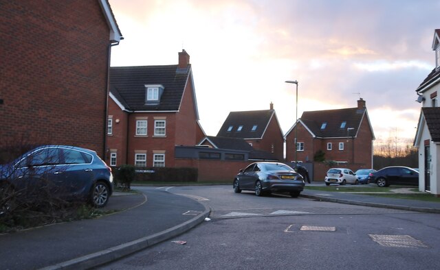
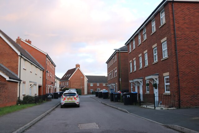
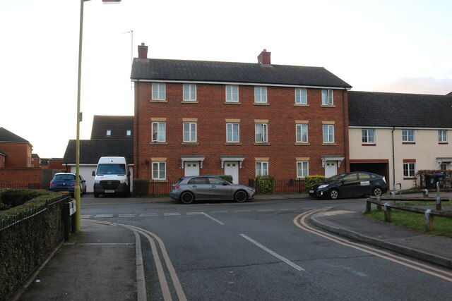
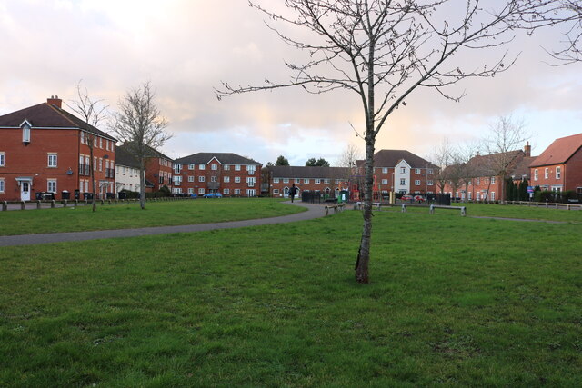
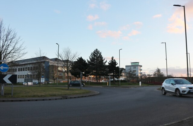
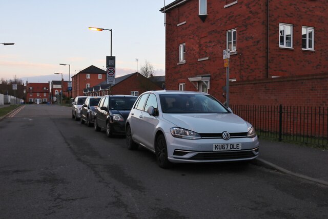
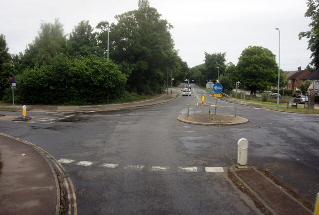
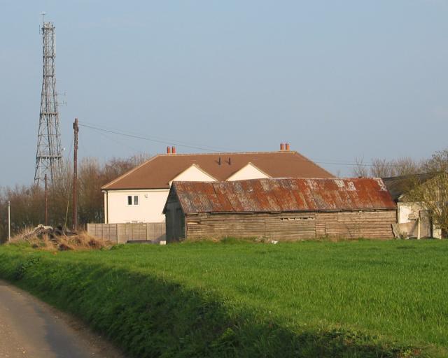
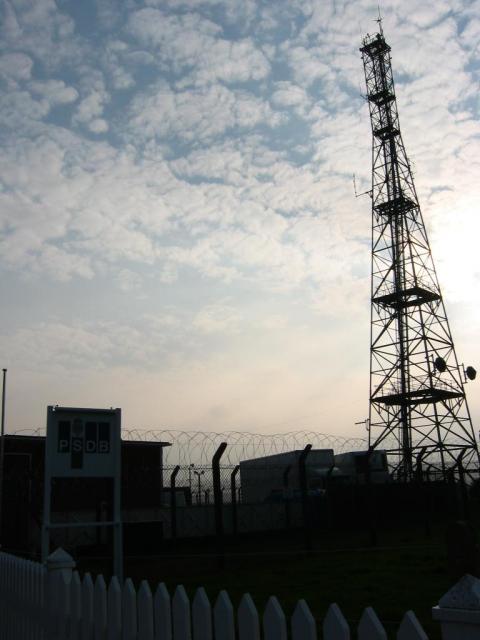
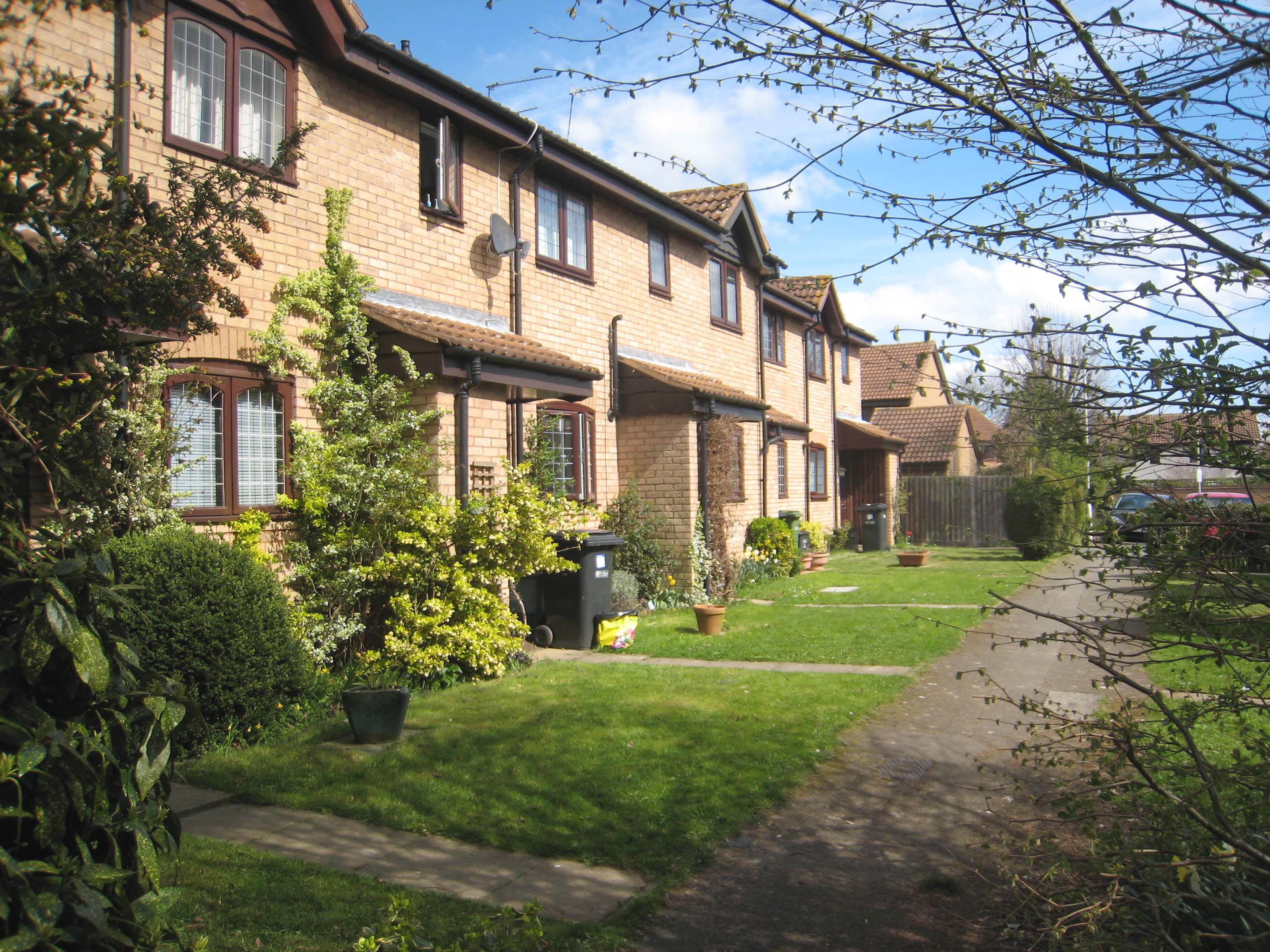
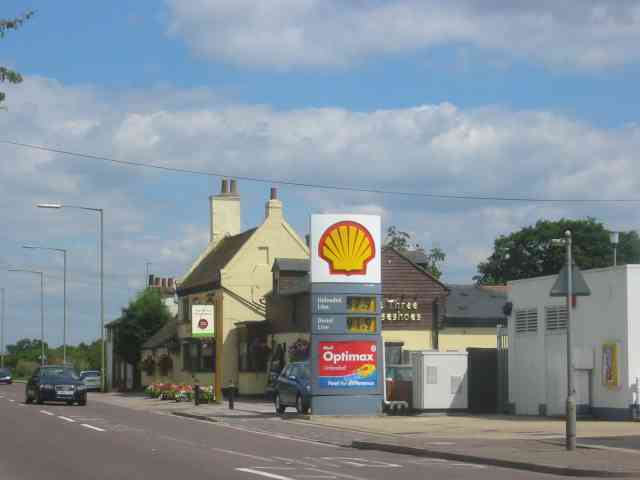
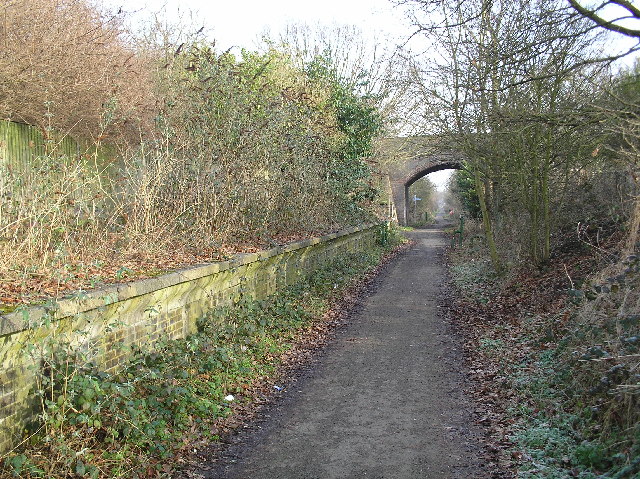
Ball's Covert Images
Images are sourced within 2km of 51.770009/-0.27087154 or Grid Reference TL1909. Thanks to Geograph Open Source API. All images are credited.


Ball's Covert is located at Grid Ref: TL1909 (Lat: 51.770009, Lng: -0.27087154)
Administrative County: Hertfordshire
District: Welwyn Hatfield
Police Authority: Hertfordshire
What 3 Words
///posed.across.spring. Near Hatfield, Hertfordshire
Nearby Locations
Related Wikis

Hatfield Aerodrome
Hatfield Aerodrome (IATA: HTF, ICAO: EGTH) was a private airfield and aircraft factory located in the English town of Hatfield in Hertfordshire from 1930...
Jersey Farm
Jersey Farm is a residential neighbourhood in the civil parish of Sandridge centred 1.5 miles (2.4 km) north-east of the city centre of St Albans. It is...
Smallford
Smallford is a village in the City and District of St Albans, Hertfordshire, United Kingdom. It is sandwiched between Hatfield and St Albans. It was served...
Torilla (house)
Torilla is a Grade II* listed house in Wilkin's Green Lane in Hatfield, England. It was designed in 1934–35 by F. R. S. Yorke in the modernist style and...
Alban Way
The Alban Way is a traffic free multi-user route along a former railway line in Hertfordshire, England, that has been constructed along the route of the...
Smallford railway station
Smallford railway station was a station on the former St Albans Branch Line in the UK. The station opened as Springfield in 1866, and was renamed in 1879...

Nast Hyde Halt railway station
Nast Hyde Halt is a disused railway station in Hertfordshire. It was opened in 1910 to serve the new houses being built in the area. It is also said that...
David Lloyd Leisure
David Lloyd Leisure is a chain of health clubs with its headquarters in the United Kingdom. It is the largest health, fitness and leisure business in Europe...
Nearby Amenities
Located within 500m of 51.770009,-0.27087154Have you been to Ball's Covert?
Leave your review of Ball's Covert below (or comments, questions and feedback).