Chalkdell Wood
Wood, Forest in Hertfordshire Welwyn Hatfield
England
Chalkdell Wood

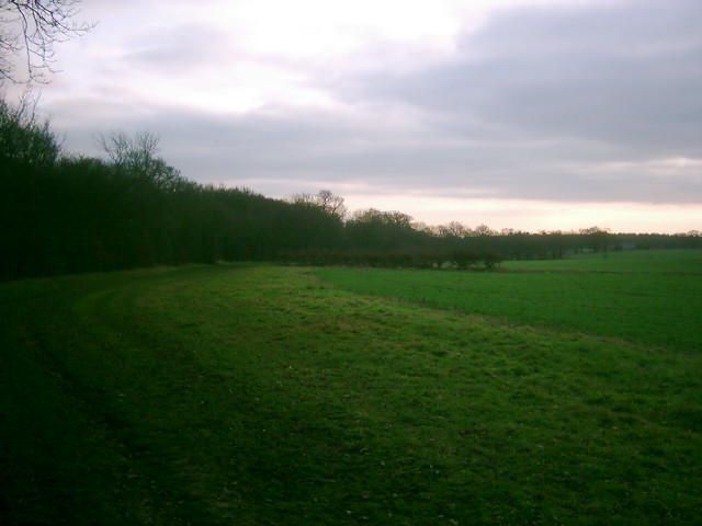
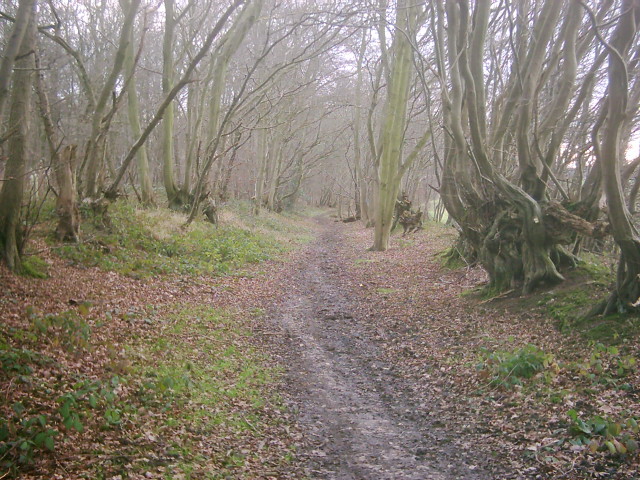
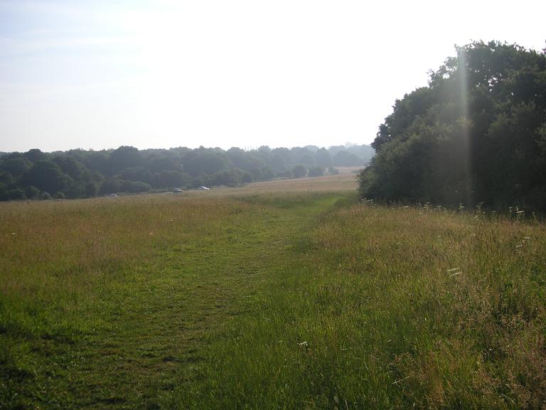
Chalkdell Wood is a picturesque woodland located in the county of Hertfordshire, England. Situated near the village of Codicote, it covers an area of approximately 30 hectares and is considered one of the most beautiful woodlands in the region.
The wood is primarily composed of native broadleaf trees, such as oak, ash, beech, and birch, creating a diverse and vibrant ecosystem. The dense canopy provides ample shade, allowing a variety of low-growing plants and wildflowers to flourish on the forest floor. Bluebells, wood anemones, and primroses are just a few examples of the stunning floral displays that can be observed during the spring months.
Chalkdell Wood is also home to a wide range of wildlife. The abundance of trees provides a habitat for numerous bird species, including woodpeckers, owls, and various songbirds. In addition, the wood supports a healthy population of mammals, such as deer, foxes, and badgers.
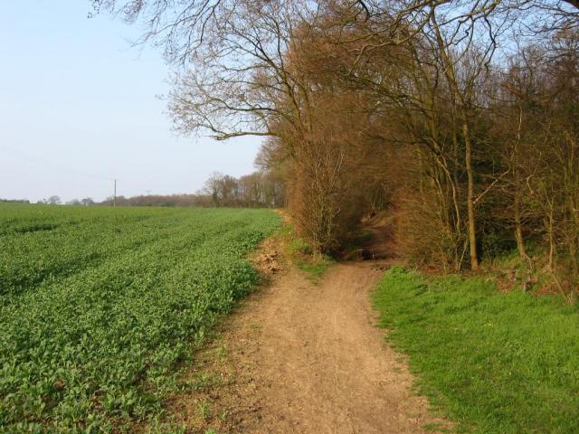
The wood is crisscrossed by a network of well-maintained footpaths, allowing visitors to explore its natural beauty. These trails wind through enchanting woodland glades, offering glimpses of sunlight filtering through the trees and creating a magical atmosphere. The wood is particularly popular with walkers, nature enthusiasts, and photographers, who are drawn to its serene and tranquil surroundings.
Chalkdell Wood is a cherished local treasure, providing a peaceful retreat and an opportunity to connect with nature. Its natural beauty and diverse ecosystem make it a valuable resource for wildlife conservation and an enchanting destination for visitors seeking solace in the heart of Hertfordshire.
If you have any feedback on the listing, please let us know in the comments section below.
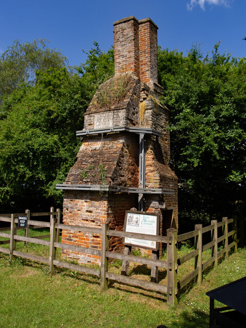
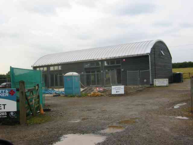
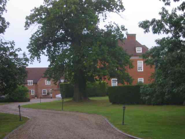
Chalkdell Wood Images
Images are sourced within 2km of 51.787723/-0.27022324 or Grid Reference TL1911. Thanks to Geograph Open Source API. All images are credited.


Chalkdell Wood is located at Grid Ref: TL1911 (Lat: 51.787723, Lng: -0.27022324)
Administrative County: Hertfordshire
District: Welwyn Hatfield
Police Authority: Hertfordshire
What 3 Words
///attend.early.sorry. Near Wheathampstead, Hertfordshire
Nearby Locations
Related Wikis
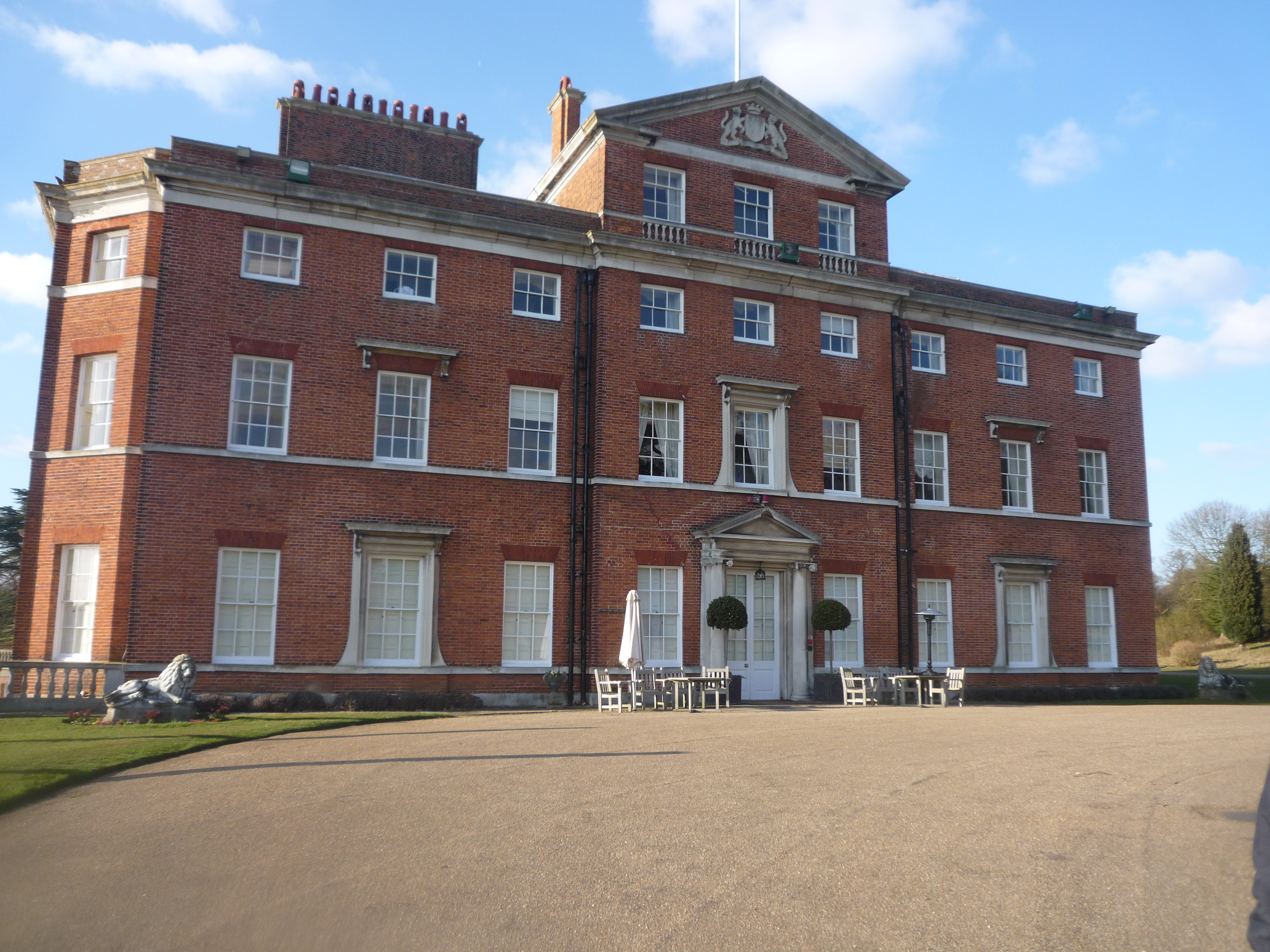
Brocket Hall
Brocket Hall is a neo-classical country house set in a large park at the western side of the urban area of Welwyn Garden City in Hertfordshire, England...

Devil's Dyke, Hertfordshire
Devil's Dyke is the remains of a prehistoric defensive ditch which lies at the east side of the village of Wheathampstead, Hertfordshire, England. It is...

St Leonard's Church, Sandridge
St Leonard's Church is in Sandridge, a village in Hertfordshire, England. It is an active Anglican parish church. The building is Grade II* listed: notable...

Sandridge Lychgate
Sandridge Lychgate is a war memorial in the village of Sandridge, Hertfordshire, England. The timber lychgate with its flanking walls is listed Grade II...

Sandridge
Sandridge is a village and civil parish between the city centre of St Albans (2.5 miles (4.0 km) to the south-west) and Wheathampstead in Hertfordshire...

The Queen's Head, Sandridge
The Queens Head is a public house in the village of Sandridge to the north of St Albans, Hertfordshire, England. The timber framed building is weather...
Nomansland Common
Nomansland Common (sometimes simply called No Man's Land) is an area of common land in Hertfordshire, England to the south of Harpenden and the south-west...
Jersey Farm
Jersey Farm is a residential neighbourhood in the civil parish of Sandridge centred 1.5 miles (2.4 km) north-east of the city centre of St Albans. It is...
Nearby Amenities
Located within 500m of 51.787723,-0.27022324Have you been to Chalkdell Wood?
Leave your review of Chalkdell Wood below (or comments, questions and feedback).