Elmbridge

Settlement in Worcestershire Wychavon

England

Elmbridge

Elmbridge Village Hall
Elmbridge Village Hall Credit: Philip Halling

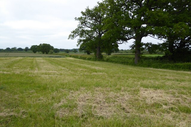
Elmbridge is a small village located in the county of Worcestershire, England. Situated approximately 5 miles southwest of the town of Droitwich Spa, Elmbridge is nestled amidst picturesque countryside, offering its residents a tranquil and idyllic setting.

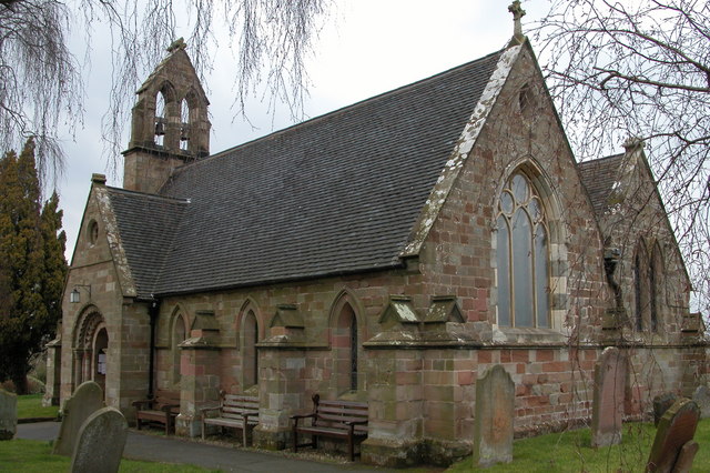
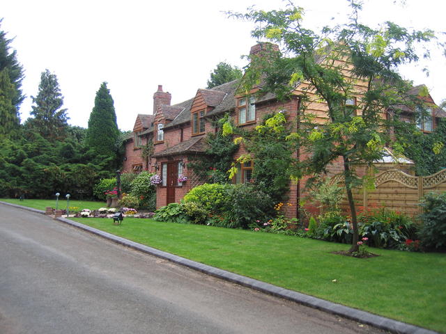
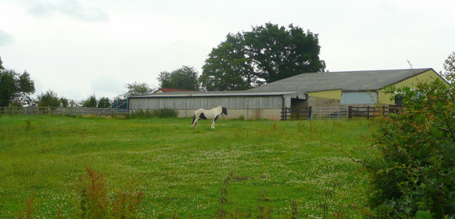
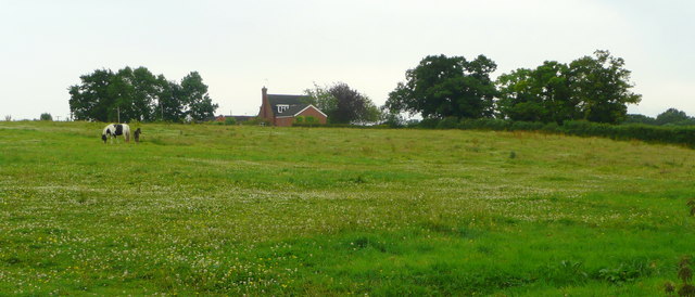
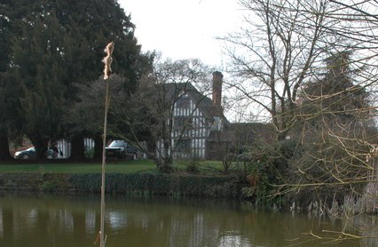
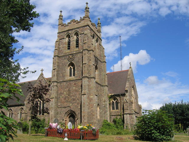
The village is home to a tight-knit community, with a population of around 500 residents. Elmbridge boasts a rich history, dating back to medieval times, and the remnants of a Norman motte-and-bailey castle can still be seen today. The village is steeped in charm, with its traditional thatched-roof cottages and quaint, narrow lanes.

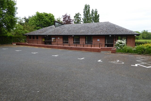
Despite its size, Elmbridge offers a range of amenities to cater to its residents' needs. The village has a well-regarded primary school, providing education for the local children. There is also a village hall that serves as a focal point for community events and gatherings.

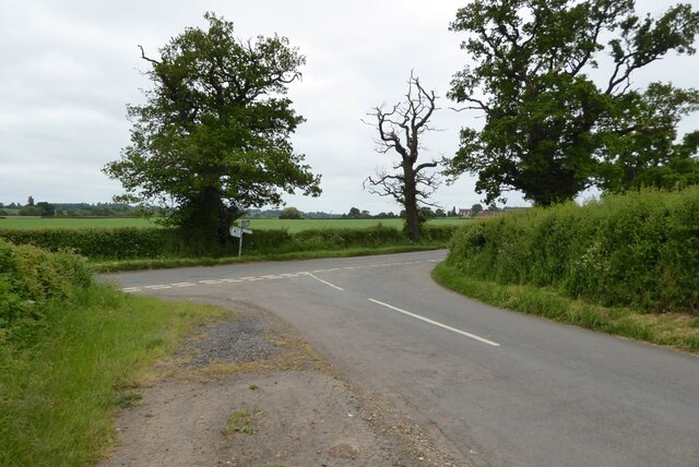
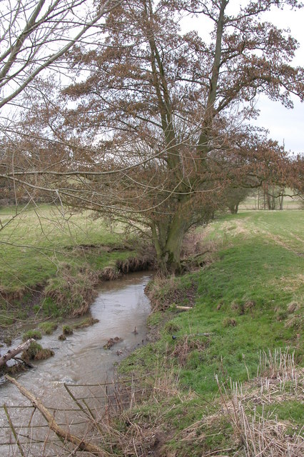
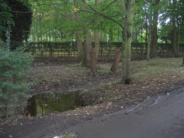
For those looking to explore the surrounding natural beauty, Elmbridge is conveniently located near several walking and cycling trails. The nearby Droitwich Canal, once an important waterway for transporting goods, now offers a peaceful environment for leisurely walks and boat trips.

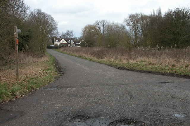
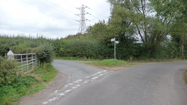
Elmbridge benefits from excellent transport links, with the nearby M5 motorway providing easy access to larger towns and cities. The village is also well-served by public transportation, with regular bus services connecting Elmbridge to neighboring areas.

In summary, Elmbridge is a charming and peaceful village in Worcestershire, offering a close-knit community, historical landmarks, and access to beautiful countryside.

If you have any feedback on the listing, please let us know in the comments section below.

Elmbridge Images

Images are sourced within 2km of 52.308065/-2.146553 or Grid Reference SO9067. Thanks to Geograph Open Source API. All images are credited.

Elmbridge Village Hall
Road junction near Elmbridge
Farmland beside Crutch Lane Farmland beside Crutch Lane near Elmbridge.
Farmland beside Crutch Lane
Farmland beside Crutch Lane near Elmbridge.
St Mary's church, Elmbridge St Mary's church in Elmbridge.  This was the subject of the first picture uploaded in the grid square by me in 2006 <a href="https://www.geograph.org.uk/photo/136415">SO8967 : St Mary's church, Elmbridge</a>.
St Mary's church, Elmbridge
St Mary's church in Elmbridge. This was the subject of the first picture uploaded in the grid square by me in 2006 SO8967 : St Mary's church, Elmbridge.
Interior of St Mary's church, Elmbridge View along the nave of St Mary's church, Elmbridge.
Interior of St Mary's church, Elmbridge
View along the nave of St Mary's church, Elmbridge.
Farmland at Elmbridge View of farmland to the north-east of Elmbridge church.
Farmland at Elmbridge
View of farmland to the north-east of Elmbridge church.
St Mary's church, Elmbridge Pevsner describes this church as 'drastically restored and mostly rebuilt in 1872', though there are remnants dating back to the late Norman times.
St Mary's church, Elmbridge
Pevsner describes this church as 'drastically restored and mostly rebuilt in 1872', though there are remnants dating back to the late Norman times.
Elmbridge Brook, Elmbridge Here the brook is viewed from the Elmbridge to Cutnall Green road.
Elmbridge Brook, Elmbridge
Here the brook is viewed from the Elmbridge to Cutnall Green road.
Bryan's Green, near Cutnall Green The Monarch's Way follows this road at Bryan's Green.
Bryan's Green, near Cutnall Green
The Monarch's Way follows this road at Bryan's Green.
Broad Alley A picturesque and well maintained cottage and garden by the lane through Broad Alley.
Broad Alley
A picturesque and well maintained cottage and garden by the lane through Broad Alley.
Drained pond at Broad Alley This muddy patch beside the lane at Broad Alley seem to be the site of a small pond, water feature and probably at one time, a ford.  Judging by the muddy state of the area the whole lot has recently been underwater probably due to flash flooding.  The pond is drained at the moment however.
Drained pond at Broad Alley
This muddy patch beside the lane at Broad Alley seem to be the site of a small pond, water feature and probably at one time, a ford. Judging by the muddy state of the area the whole lot has recently been underwater probably due to flash flooding. The pond is drained at the moment however.
Footpath to Crutch Hill The footpath runs along the farm track at this point.  The twin masts of <a href="https://www.geograph.org.uk/photo/28692">SO9266 : Wychbold and Droitwich Radio</a> can be seen over the tree tops.
Footpath to Crutch Hill
The footpath runs along the farm track at this point. The twin masts of SO9266 : Wychbold and Droitwich Radio can be seen over the tree tops.
View towards Fibden Farm Looking north across the recently harvested fields in this square from the path between Hampton Farm and Crutch Hill.
View towards Fibden Farm
Looking north across the recently harvested fields in this square from the path between Hampton Farm and Crutch Hill.
Paddock and barn At Cornshire House Farm.
Paddock and barn
At Cornshire House Farm.
Mare and foal in pasture South of Cornshire House Farm, Cooksey Green
Mare and foal in pasture
South of Cornshire House Farm, Cooksey Green
Road junction off A442 Droitwich - Kidderminster road. The minor road to Broad Alley leaves the main A442 on this long sweeping bend.
Road junction off A442 Droitwich - Kidderminster road.
The minor road to Broad Alley leaves the main A442 on this long sweeping bend.
Entrance to Fibden Farm.
Road junction Junction of two minor roads, clearly also showing the pylon in the background. The left "finger" of the signpost indicates that you are heading to a gated road (unusual in this area).
Road junction
Junction of two minor roads, clearly also showing the pylon in the background. The left "finger" of the signpost indicates that you are heading to a gated road (unusual in this area).
Show me another place!

Elmbridge is located at Grid Ref: SO9067 (Lat: 52.308065, Lng: -2.146553)

Administrative County: Worcestershire

District: Wychavon

Police Authority: West Mercia

What 3 Words

///spillage.unusable.initiates. Near Wychbold, Worcestershire

Nearby Locations

Elmbridge

Related Wikis

Elmbridge, Worcestershire

Elmbridge is a small community, mainly clustered in a village and forms a civil parish in Worcestershire, England. == Geography == It occupies the top...

Badge Court

Badge Court is an estate in Worcestershire, England. Originally known as Batchcott, the home's most famous occupant was Helena Wintour, daughter of Gunpowder...

Hampton Lovett

Hampton Lovett is a village and civil parish in the Wychavon district of the county of Worcestershire, England. It is just north of Droitwich. The church...

Wychbold

Wychbold is a village in the Wychavon district of Worcestershire. The village is situated on the A38 between Droitwich Spa and Bromsgrove, and by Junction...

Upton Warren

Upton Warren is a village and civil parish in the Wychavon district, in Worcestershire, England. The village is situated just off the A38 road between...

Cutnall Green Halt railway station

Cutnall Green Halt was a railway station in Worcestershire, England, serving the nearby village of Hampton Lovett on the Oxford, Worcester and Wolverhampton...

Droitwich Transmitting Station

The Droitwich transmitting station is a large broadcasting facility for long-wave and medium-wave transmissions, established in 1934 in the civil parish...

Dodderhill

Dodderhill is a civil parish, near Droitwich, Worcestershire, England, located on the River Salwarpe. The parish is bisected by the M5 motorway, constructed...

Nearby Amenities

Located within 500m of 52.308065,-2.146553
Elmbridge
Place: village
Wikidata: Q5366431
Lat/Long: 52.308409/-2.1474369
Power: tower
Source: Bing
Lat/Long: 52.3119351/-2.1463816
Power: tower
Source: Bing
Lat/Long: 52.3117905/-2.1429637
Power: tower
Source: Bing
Lat/Long: 52.3119839/-2.1476273
Post Box
Note: Needs manual revisiting.
Post Box Type: wall
Ref: WR9 353
Royal Cypher: EIIR
Royal Cypher Wikidata: Q33102113
Lat/Long: 52.3087396/-2.14936
Power: pole
Source: bing
Lat/Long: 52.3116985/-2.1459188
Power: pole
Source: bing
Lat/Long: 52.3111549/-2.1512161
Power: pole
Source: bing
Lat/Long: 52.311223/-2.1500815
Power: pole
Source: bing
Lat/Long: 52.3112861/-2.1490221
Power: pole
Source: bing
Lat/Long: 52.3119068/-2.1480042
Power: pole
Source: bing
Lat/Long: 52.3118346/-2.1472156
Power: pole
Source: bing
Lat/Long: 52.3115616/-2.1446621
Power: pole
Ref: 761991
Source: wpd_opendata
Transformer: distribution
Lat/Long: 52.3114001/-2.1430153
Power: pole
Source: bing
Lat/Long: 52.3112484/-2.1419692
Bench
Lat/Long: 52.3087659/-2.1491376
Bench
Lat/Long: 52.3087702/-2.149088
Bench
Lat/Long: 52.3087732/-2.1490434
Bench
Lat/Long: 52.3087187/-2.1488936
The data included in this document is from www.openstreetmap.org. The data is made available under ODbL.

Have you been to Elmbridge?

Leave your review of Elmbridge below (or comments, questions and feedback).