Cherkley Wood
Wood, Forest in Surrey Mole Valley
England
Cherkley Wood
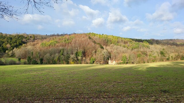
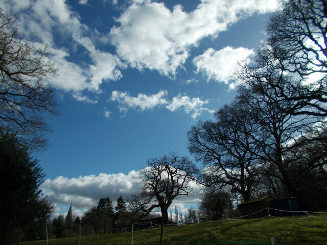
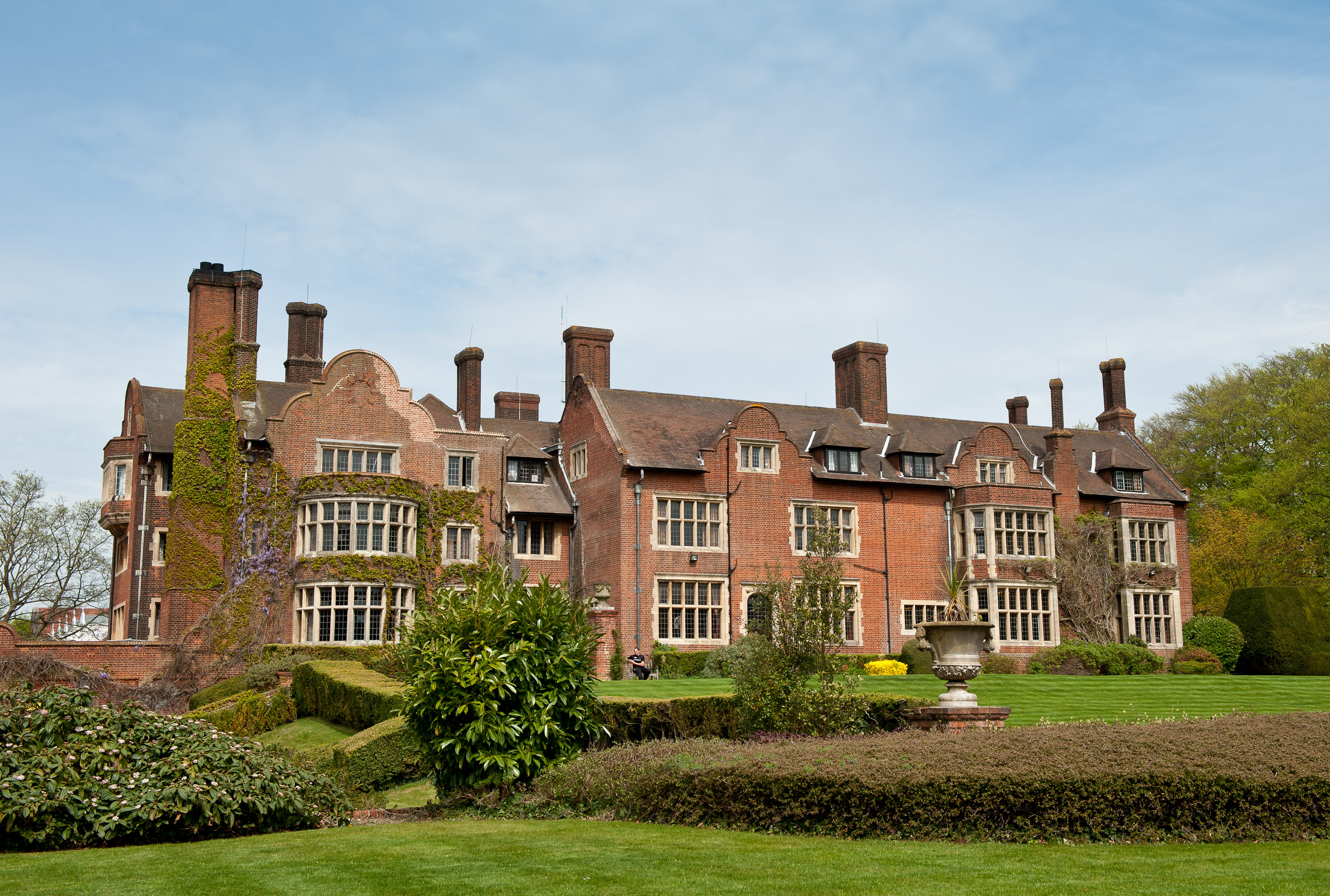
Cherkley Wood is a picturesque woodland located in Surrey, England. Spanning over 365 acres, it is a popular destination for nature lovers and outdoor enthusiasts. The wood is part of the larger Cherkley Estate, which also includes a golf course and a historic mansion.
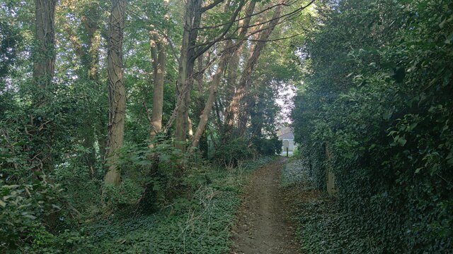
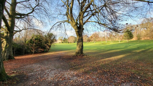
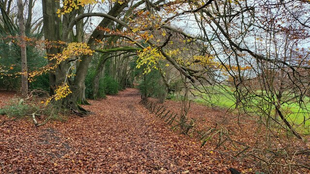
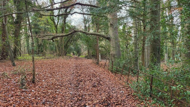
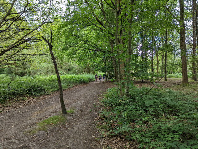
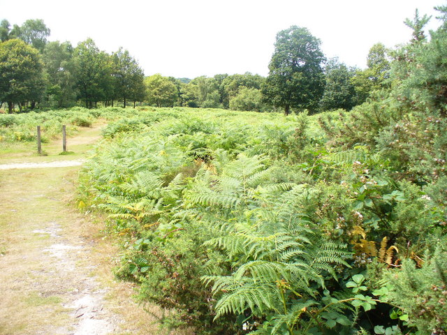
The woodland is characterized by its diverse range of tree species, including oak, beech, and sweet chestnut. These trees provide a dense canopy, creating a tranquil and shaded environment for visitors to explore. The forest floor is carpeted with a rich variety of wildflowers, making it a haven for wildlife such as birds, butterflies, and small mammals.
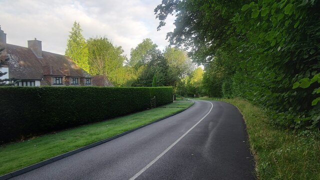
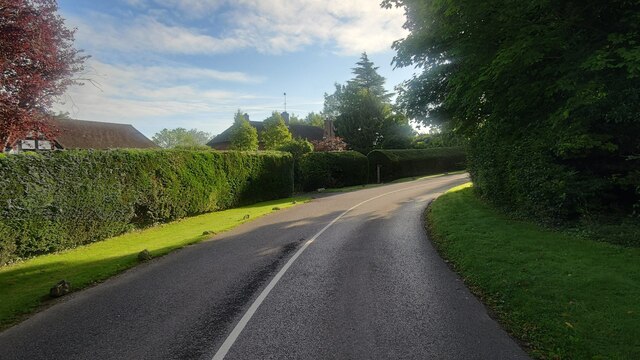
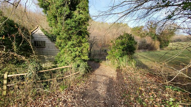
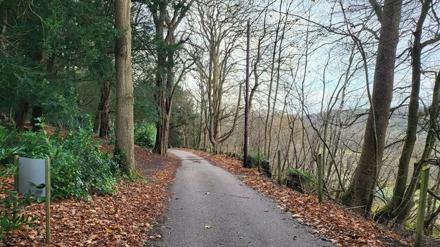
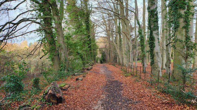
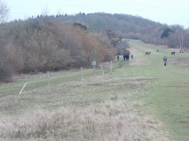
Cherkley Wood offers a network of well-maintained walking trails, allowing visitors to immerse themselves in the natural beauty of the surroundings. The paths wind through the wood and offer stunning views of the landscape. Along the way, there are numerous benches and picnic areas where visitors can rest and enjoy a packed lunch or simply soak in the peaceful atmosphere.
The wood also boasts a small lake, providing a serene spot for birdwatching or simply taking in the tranquil surroundings. Additionally, there are several sculptures scattered throughout the woodland, adding an artistic touch to the natural landscape.
Cherkley Wood is a true gem in Surrey, offering visitors a chance to escape the hustle and bustle of everyday life and connect with nature. Whether it's a leisurely stroll, a family picnic, or birdwatching, this woodland has something to offer for everyone seeking a peaceful and rejuvenating experience in the heart of Surrey.
If you have any feedback on the listing, please let us know in the comments section below.
Cherkley Wood Images
Images are sourced within 2km of 51.275916/-0.2972713 or Grid Reference TQ1854. Thanks to Geograph Open Source API. All images are credited.


Cherkley Wood is located at Grid Ref: TQ1854 (Lat: 51.275916, Lng: -0.2972713)
Administrative County: Surrey
District: Mole Valley
Police Authority: Surrey
What 3 Words
///brain.rate.regard. Near Leatherhead, Surrey
Nearby Locations
Related Wikis

Nower Wood
Nower Wood is a 33-hectare (82-acre) nature reserve south-west of Leatherhead in Surrey. It is managed by the Surrey Wildlife Trust.Nower Wood has no...

Cherkley Court
Cherkley Court, at the extreme southeast of Leatherhead, Surrey, in England, is a late Victorian neo-classical mansion and estate of 370 acres (1.5 km2...

High Ashurst
High Ashurst is a large natural site of 56 acres of land in an Area of Outstanding Natural Beauty in North Downs, Surrey. The site has been host to many...
Headley Court
Defence Medical Rehabilitation Centre Headley Court (abbreviated to DMRC Headley Court, and more commonly known as Headley Court), formerly RAF Headley...

Headley, Surrey
Headley is a village and civil parish in the North Downs in Surrey, England. The nearest settlements are, to the west, Mickleham and Leatherhead; to the...
Mole Gap to Reigate Escarpment
Mole Gap to Reigate Escarpment is a 1,016.4-hectare (2,512-acre) biological and geological Site of Special Scientific Interest west of Reigate in Surrey...
Mickleham, Surrey
Mickleham is a village in south east England, between the towns of Dorking and Leatherhead in Surrey. The civil parish covers 7.31 square kilometres (1...
St. Michael's Churchyard, Mickleham
St. Michael's Churchyard is the church and graveyard located in Mickleham, Surrey, England, belonging to the Church of England parish of Mickleham. �...
Nearby Amenities
Located within 500m of 51.275916,-0.2972713Have you been to Cherkley Wood?
Leave your review of Cherkley Wood below (or comments, questions and feedback).