Brickyard Copse

Wood, Forest in Surrey Mole Valley

England

Brickyard Copse

The Surrey Oaks pub at Parkgate
The Surrey Oaks pub at Parkgate Credit: James Insell

Brickyard Copse is a picturesque and enchanting woodland located in Surrey, England. Covering an area of approximately 50 acres, this ancient forest is a haven for nature lovers and provides a tranquil escape from the bustling city life.

The copse is predominantly made up of native tree species such as oak, beech, and ash, creating a dense canopy that filters the sunlight and casts beautiful dappled patterns on the forest floor. The tall and majestic trees provide a habitat for a diverse range of wildlife, including squirrels, deer, and a variety of bird species.

Visitors to Brickyard Copse can enjoy a network of well-maintained footpaths that meander through the woods, allowing for leisurely strolls and a chance to immerse oneself in the natural surroundings. The paths are lined with vibrant wildflowers and ferns, creating a delightful and fragrant backdrop during the spring and summer months.

The copse is also home to a small stream that runs through its heart, adding to the serenity and charm of the woodland. This babbling brook provides a refreshing spot for wildlife to drink from and offers a calming soundtrack for those who seek solace in nature.

Brickyard Copse is a popular destination for families, dog walkers, and nature enthusiasts alike. Its peaceful ambiance and abundance of natural beauty make it an ideal location for picnics, photography, or simply a quiet place to connect with nature. Whether visitors are seeking solitude or an opportunity to explore the wonders of the natural world, Brickyard Copse offers a truly memorable experience.

If you have any feedback on the listing, please let us know in the comments section below.

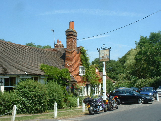
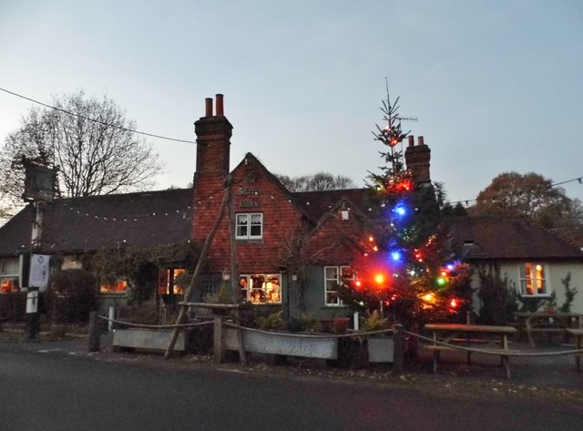
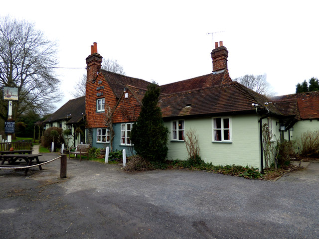
Brickyard Copse Images

Images are sourced within 2km of 51.180317/-0.30182601 or Grid Reference TQ1843. Thanks to Geograph Open Source API. All images are credited.

The Surrey Oaks pub at Parkgate
Telephone box at Parkgate
The Ali Raj Indian restaurant at Parkgate
Bridge at Ewood Lane
Pond bay at Ewood, near Newdigate, Surrey Ewood was one of the main centres for ironmaking in the 15th century. The works were water-powered, driven by a pond which is thought to have been 200 acres in size. The pond bay (or dam) can still be seen behind a cottage on Ewood Lane.
Pond bay at Ewood, near Newdigate, Surrey
Ewood was one of the main centres for ironmaking in the 15th century. The works were water-powered, driven by a pond which is thought to have been 200 acres in size. The pond bay (or dam) can still be seen behind a cottage on Ewood Lane.
The Surrey Oaks at Parkgate Seen from the lay-by next to <a href="https://www.geograph.org.uk/photo/25681">TQ2043 : Telephone box at Parkgate</a>.
The Surrey Oaks at Parkgate
Seen from the lay-by next to TQ2043 : Telephone box at Parkgate.
Newdigate Brickworks Nature Reserve Newdigate Brickworks opened in c.1928 and was a successful business for many years. The works closed during the Second World War and much of the site became derelict, but handmade bricks were made here on a smaller scale after the war, the trade lasting until 1974. The site then lay derelict until 2004, when a housing development was built on the old factory site and the four lakes left over from quarrying became a public nature reserve managed by the Surrey Wildlife Trust. The reserve covers 43 acres of lake, grassland and woodland near the centre of this grid-square.
Newdigate Brickworks Nature Reserve
Newdigate Brickworks opened in c.1928 and was a successful business for many years. The works closed during the Second World War and much of the site became derelict, but handmade bricks were made here on a smaller scale after the war, the trade lasting until 1974. The site then lay derelict until 2004, when a housing development was built on the old factory site and the four lakes left over from quarrying became a public nature reserve managed by the Surrey Wildlife Trust. The reserve covers 43 acres of lake, grassland and woodland near the centre of this grid-square.
Swans at Newdigate On the brickworks northern lake.
Swans at Newdigate
On the brickworks northern lake.
The Surrey Oaks Pub on Parkgate Road.
The Surrey Oaks
Pub on Parkgate Road.
The Surrey Oaks, Parkgate
Towards Mulberry Place Looking across a field towards Mulberry Place, a development dating from 2002-3 on the site of a former brickworks.  Although officially called Mulberry Place in post office listings, it is marked as Mullberry Place on the large scale Ordnance Survey map.  Locally it is known as "The Mulberries".
Towards Mulberry Place
Looking across a field towards Mulberry Place, a development dating from 2002-3 on the site of a former brickworks. Although officially called Mulberry Place in post office listings, it is marked as Mullberry Place on the large scale Ordnance Survey map. Locally it is known as "The Mulberries".
The Surrey Oaks at Parkgate 'The original parts of The Surrey Oaks date back to 1570. It seems, however that it did not become an inn until c. 1850 when Mary, widow of James Butcher, a wheelwright, was described in the tithe redemption schedule as an "innkeeper". In order to provide an additional income, Mary turned the house (which continued as a wheelwright's) into an inn'. For more see <span class="nowrap"><a title="http://www.surreyoaks.co.uk/thepub/thepub.htm#pub01" rel="nofollow ugc noopener" href="http://www.surreyoaks.co.uk/thepub/thepub.htm#pub01">Link</a><img style="margin-left:2px;" alt="External link" title="External link - shift click to open in new window" src="https://s1.geograph.org.uk/img/external.png" width="10" height="10"/></span>
The Surrey Oaks at Parkgate
'The original parts of The Surrey Oaks date back to 1570. It seems, however that it did not become an inn until c. 1850 when Mary, widow of James Butcher, a wheelwright, was described in the tithe redemption schedule as an "innkeeper". In order to provide an additional income, Mary turned the house (which continued as a wheelwright's) into an inn'. For more see LinkExternal link
Junction of Broad Lane and Partridge Lane
Parkgate Road entering Newdigate
Ewood Lane Lane leading to Ewood Farm.
Ewood Lane
Lane leading to Ewood Farm.
Ali Raj Indian restaurant on Parkgate Road, opened in 1994 and housed in what was once a forge.  On the left is a K6 telephone box.
Ali Raj
Indian restaurant on Parkgate Road, opened in 1994 and housed in what was once a forge. On the left is a K6 telephone box.
Newdigate:  The 'Surrey Oaks' This superb public house has real fires, good food and a wide selection of real ales.  The service is prompt and courteous.  A real winner.
Newdigate: The 'Surrey Oaks'
This superb public house has real fires, good food and a wide selection of real ales. The service is prompt and courteous. A real winner.
Show me another place!

Brickyard Copse is located at Grid Ref: TQ1843 (Lat: 51.180317, Lng: -0.30182601)

Administrative County: Surrey

District: Mole Valley

Police Authority: Surrey

What 3 Words

///kings.jump.epic. Near Holmwood, Surrey

Related Wikis

Holmwood railway station

Holmwood railway station serves the villages of Beare Green and South Holmwood in Surrey, England, on the Sutton and Mole Valley Lines between Dorking...

Newdigate

Newdigate is a village and civil parish in the Mole Valley borough of Surrey lying in a relatively flat part of the Weald to the east of the A24 road between...

Newdigate Brickworks

Newdigate Brickworks is a 24-hectare (59-acre) nature reserve in Newdigate in Surrey. It is managed by the Surrey Wildlife Trust.The clay pits of this...

Wotton Hundred

The Hundred of Wotton, Wotton Hundred or Dorking Hundred was a hundred in Surrey, England. The hundred comprised a south-central portion of the county...

South Holmwood

South Holmwood () is a semi-rural village in Surrey, England. It can be considered cognate with its wider civil parish, which stretches to the east to...

Capel, Surrey

Capel () is a village and civil parish in southern Surrey, England. It is equidistant between Dorking and Horsham – about 5 miles (8.0 km) away. Around...

A24 road (England)

The A24 is a major road in England that runs for 53.2 miles (85.6 km) from Clapham in south-west London to Worthing on the English Channel in West Sussex...

Inholms Clay Pit

Inholms Clay Pit is a 8.4-hectare (21-acre) Local Nature Reserve south of Dorking in Surrey. It is owned by Mole Valley District Council and from 2009...

Nearby Amenities

Located within 500m of 51.180317,-0.30182601
Post Box
Operator: Royal Mail
Post Box Type: lamp
Ref: RH5 109D
Royal Cypher: EIIR
Royal Cypher Wikidata: Q33102113
Lat/Long: 51.1771245/-0.3013683
Barrier: stile
Lat/Long: 51.1832712/-0.3067076
Barrier: stile
Lat/Long: 51.183554/-0.3036209
Barrier: stile
Lat/Long: 51.1834011/-0.30514
Henfold
Place: hamlet
Lat/Long: 51.1768907/-0.3013927
Barrier: stile
Lat/Long: 51.1813127/-0.3079666
Power: pole
Source: Bing
Lat/Long: 51.1833245/-0.2980578
Henfold House
Place: isolated_dwelling
Lat/Long: 51.1764123/-0.302884
Henfold Lakes Fishing
Leisure: fishing
Lat/Long: 51.1822088/-0.2986393
The data included in this document is from www.openstreetmap.org. The data is made available under ODbL.

Have you been to Brickyard Copse?

Leave your review of Brickyard Copse below (or comments, questions and feedback).