Furlong Shaw

Wood, Forest in Sussex Horsham

England

Furlong Shaw

Horse and stable - near Hollands Lane
Horse and stable - near Hollands Lane Credit: Ian Cunliffe

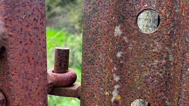
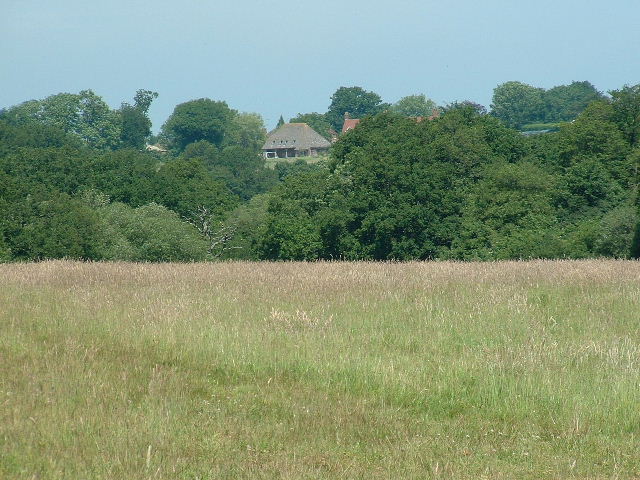
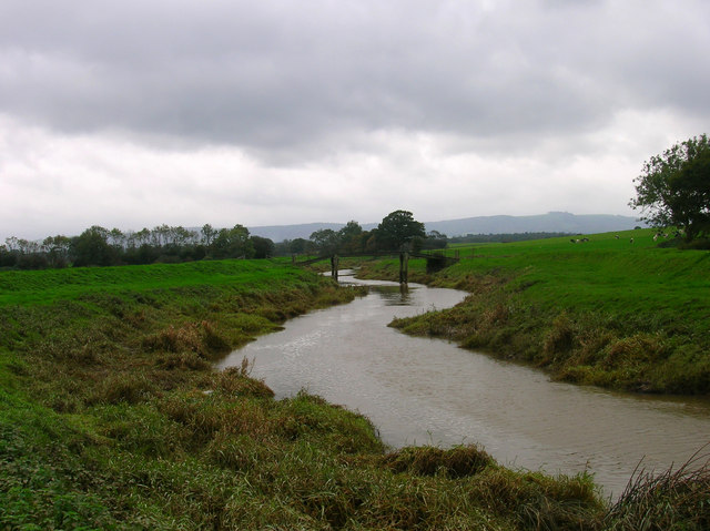
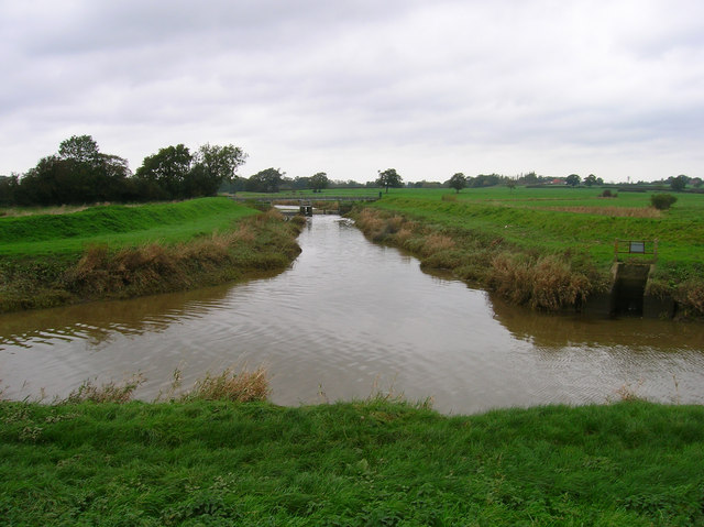
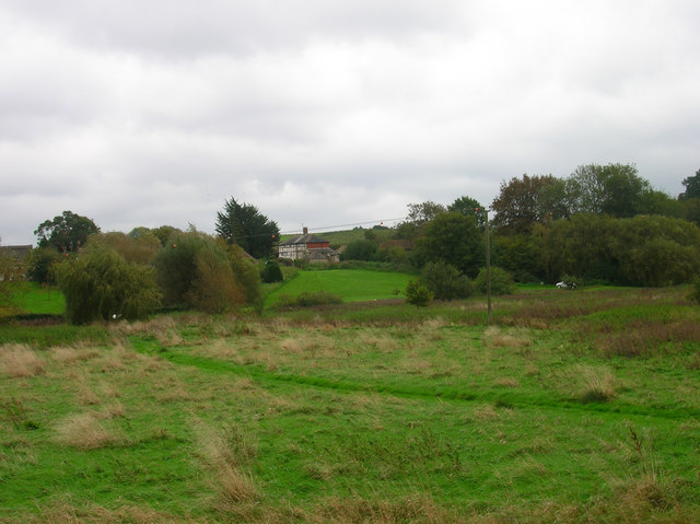
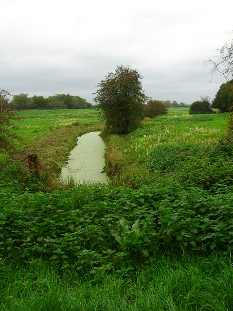
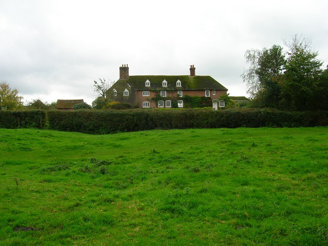
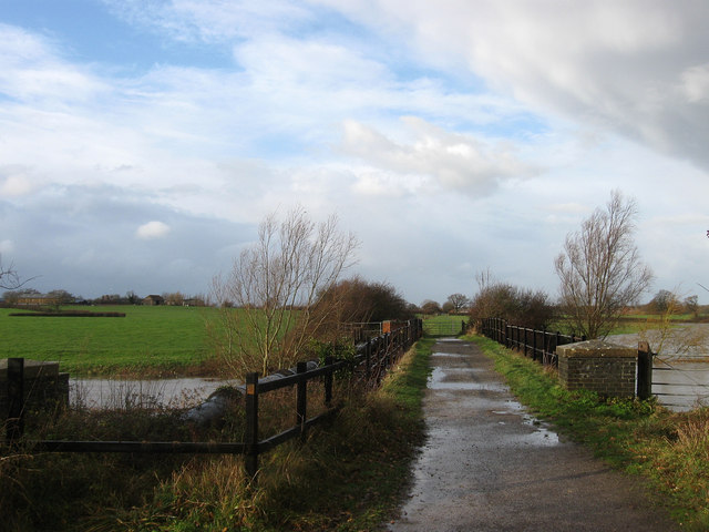
Furlong Shaw is a picturesque woodland area located in Sussex, England. Nestled amidst the rolling hills of the South Downs, this enchanting forest is a haven for nature lovers and outdoor enthusiasts alike. With its dense canopy of ancient trees, Furlong Shaw offers a tranquil escape from the hustle and bustle of daily life.

The woodland is predominantly composed of broadleaf trees, such as oak, beech, and birch, creating a rich and diverse ecosystem. The forest floor is adorned with a carpet of wildflowers, ferns, and mosses, providing a vibrant display of colors throughout the seasons.

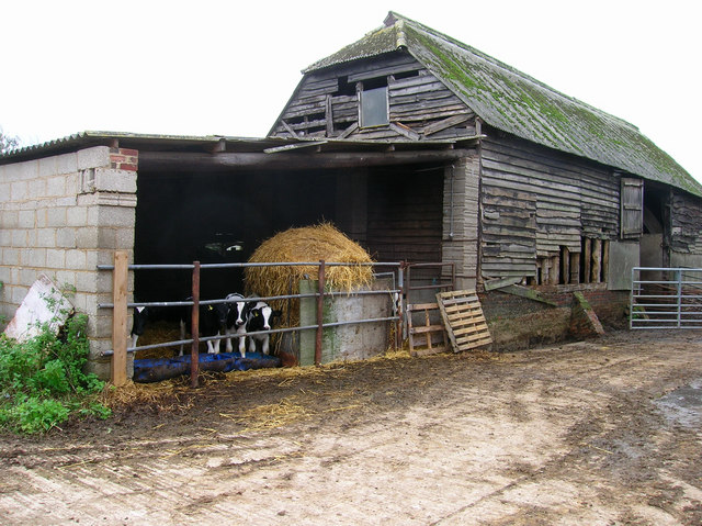
Furlong Shaw is home to a variety of wildlife, including deer, foxes, badgers, and a plethora of bird species. It is not uncommon to hear the melodious songs of thrushes and blackbirds echoing through the trees. The forest also supports a wide range of insects, making it an ideal spot for bug enthusiasts and amateur entomologists.

The forest offers numerous walking trails and paths, allowing visitors to explore its beauty at their own pace. These trails meander through towering trees, across babbling brooks, and past idyllic clearings. Whether one is seeking a leisurely stroll or a more vigorous hike, Furlong Shaw has something to offer for everyone.

The conservation efforts in Furlong Shaw have been commendable, with local authorities and conservation groups working together to preserve its natural beauty and protect its flora and fauna. As a result, Furlong Shaw remains a pristine and unspoiled woodland, providing an exceptional experience for visitors seeking solace in nature.

If you have any feedback on the listing, please let us know in the comments section below.

Furlong Shaw Images

Images are sourced within 2km of 50.940018/-0.31060933 or Grid Reference TQ1816. Thanks to Geograph Open Source API. All images are credited.

Horse and stable - near Hollands Lane
Oak leaves and sunlight on Hollands Lane
New houses off West End Lane You can see the South Downs in the distance - with Truleigh Hill communications masts on the right.
New houses off West End Lane
You can see the South Downs in the distance - with Truleigh Hill communications masts on the right.
Rusty gate hinge
Rusty gate hinge
Sweethill Farm and pastures Taken from South looking right across the gridsquare towards the farm.
Sweethill Farm and pastures
Taken from South looking right across the gridsquare towards the farm.
Tractor Jam Nice collection of tractors outside New Wharf farm at Horsebridge Common on the West side of the square.
Tractor Jam
Nice collection of tractors outside New Wharf farm at Horsebridge Common on the West side of the square.
Pond, near Lloyts Farm If you follow the bridleway from east to west this is the first of four ponds that are to the north of the bridleway.
Pond, near Lloyts Farm
If you follow the bridleway from east to west this is the first of four ponds that are to the north of the bridleway.
Water Meadows and Farmland, near Partridge Green Looking north east from the Downs Link cycle path.
Water Meadows and Farmland, near Partridge Green
Looking north east from the Downs Link cycle path.
River Adur To the west of Henfield the Adur splits into two, this is the eastern arm which heads in the direction of Burgess Hill. The view looks north and was taken just before Betley Bridge.
River Adur
To the west of Henfield the Adur splits into two, this is the eastern arm which heads in the direction of Burgess Hill. The view looks north and was taken just before Betley Bridge.
Canons, Hollands Lane, Henfield Looking north.
Canons, Hollands Lane, Henfield
Looking north.
Eatons Bridge Footbridge over the River Adur with the South Downs on the horizon in the background.
Eatons Bridge
Footbridge over the River Adur with the South Downs on the horizon in the background.
Confluence of the two River Adurs Straight ahead is the western branch whilst the eastern branch heads off to the right.
Confluence of the two River Adurs
Straight ahead is the western branch whilst the eastern branch heads off to the right.
Lashmars Hall 17th century house viewed from the footpath on the eastern side of the River Adur.
Lashmars Hall
17th century house viewed from the footpath on the eastern side of the River Adur.
River Adur Flood Plain Taken from the footpath leading to Grays Farm and looking to the east of Eaton Bridge.
River Adur Flood Plain
Taken from the footpath leading to Grays Farm and looking to the east of Eaton Bridge.
Eatons Farm Taken from the footpath linking Eaton Bridge to Ashurst village. The other farm buildings are behind the farm house
Eatons Farm
Taken from the footpath linking Eaton Bridge to Ashurst village. The other farm buildings are behind the farm house
Ashurst Village Hall On the B2135 near the south west corner of the grid square.
Ashurst Village Hall
On the B2135 near the south west corner of the grid square.
Inquisitive Calves, Yokenclose Farm Noisy too, perhaps it was near feeding time.
Inquisitive Calves, Yokenclose Farm
Noisy too, perhaps it was near feeding time.
Ashurst County Primary School Built on the site of the old workhouse in 1872. The house adjoining the school building is older from the 18th century and may have been part of the workhouse. It was spared demolition for use as the masters house and is now the reception area for the school. The lane itself was once known as Workhouse Lane but was renamed School Lane.
Ashurst County Primary School
Built on the site of the old workhouse in 1872. The house adjoining the school building is older from the 18th century and may have been part of the workhouse. It was spared demolition for use as the masters house and is now the reception area for the school. The lane itself was once known as Workhouse Lane but was renamed School Lane.
Show me another place!

Furlong Shaw is located at Grid Ref: TQ1816 (Lat: 50.940018, Lng: -0.31060933)

Administrative County: West Sussex

District: Horsham

Police Authority: Sussex

What 3 Words

///nowadays.boils.squeaking. Near Ashurst, West Sussex

Nearby Locations

Furlong Shaw

Related Wikis

Bines Green

Bines Green is a hamlet in the Horsham District of West Sussex, England. It lies 1.9 miles (3.1 km) north west of Henfield on the B2135 road between Ashurst...

Fountain Inn, Ashurst

The Fountain Inn is a 16th-century public house in the village of Ashurst, in the Horsham district of West Sussex, England. After a period as a farmhouse...

Ashurst, West Sussex

Ashurst is a village and civil parish in the Horsham District of West Sussex, England, about 2 miles (3.2 km) west of Henfield, and 11 miles (18 km) south...

St James's Church, Ashurst

St James's Church is a Church of England parish church in Ashurst, West Sussex. The church is a grade I listed building and it dates from the early 12th...

Betley Bridge

Betley Bridge is a disused railway bridge, now a rail trail bridge, which crosses the confluence of the East and West Adur rivers North of Henfield in...

Partridge Green railway station

Partridge Green was a railway station on the Steyning Line which served the village of Partridge Green. The station closed as a result of the Beeching...

Henfield railway station

Henfield was a railway station on the Steyning Line which served the village of Henfield. It was equipped with a siding which received coal to serve the...

Dark Star Brewing Company

Dark Star is a brewery in Partridge Green, Sussex, England. == History == Dark Star Brewery was established in 1994, brewing in the cellar of the Evening...

Nearby Amenities

Located within 500m of 50.940018,-0.31060933
Horsham Road
Naptan AtcoCode: 4400HR0805
Naptan Bearing: NE
Naptan BusStopType: CUS
Naptan CommonName: Horsham Road
Naptan Indicator: HAR
Naptan Landmark: Hail & Ride
Naptan NaptanCode: wsxdwjwt
Naptan Street: Horsham Road
Naptan Verified: no
Source: naptan_import
Lat/Long: 50.941421/-0.3150177
Horsham Road
Naptan AtcoCode: 4400HR0806
Naptan Bearing: SW
Naptan BusStopType: CUS
Naptan CommonName: Horsham Road
Naptan Indicator: HAR
Naptan Landmark: Hail & Ride
Naptan NaptanCode: wsxdwmad
Naptan Street: Horsham Road
Naptan Verified: no
Source: naptan_import
Lat/Long: 50.941387/-0.3148655
Post Box
Collection Times: Mo-Fr 16:00; Sa 08:30
Operator: Royal Mail
Post Box Type: lamp
Ref: RH13 153
Royal Cypher: EIIR
Royal Cypher Wikidata: Q33102113
Lat/Long: 50.941979/-0.3144986
Bines Green
Place: hamlet
Wikidata: Q4914090
Lat/Long: 50.9428681/-0.3139318
Power: pole
Lat/Long: 50.9416179/-0.314376
Power: pole
Lat/Long: 50.9415932/-0.3148834
Power: pole
Lat/Long: 50.9415291/-0.3136181
Power: pole
Lat/Long: 50.941248/-0.3119119
Power: pole
Lat/Long: 50.9410589/-0.3107823
Power: pole
Lat/Long: 50.9408847/-0.3097048
Martinsland Farm
Place: farm
Lat/Long: 50.9442514/-0.311511
The data included in this document is from www.openstreetmap.org. The data is made available under ODbL.

Have you been to Furlong Shaw?

Leave your review of Furlong Shaw below (or comments, questions and feedback).