Dick's Wood
Wood, Forest in Bedfordshire
England
Dick's Wood
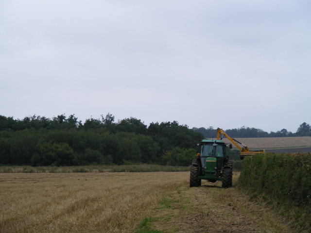
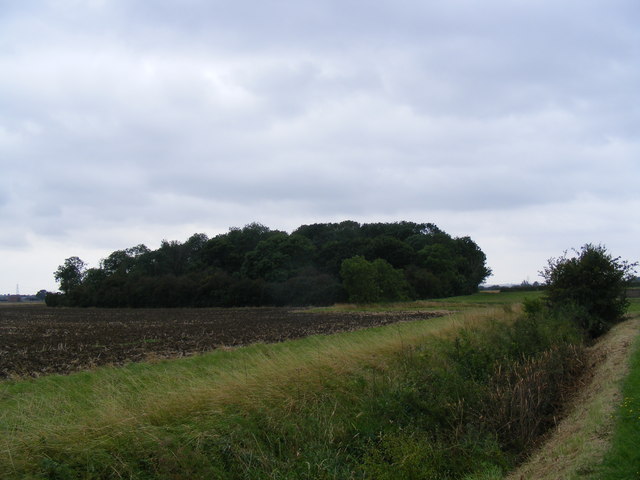
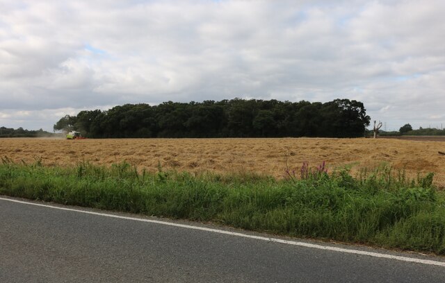
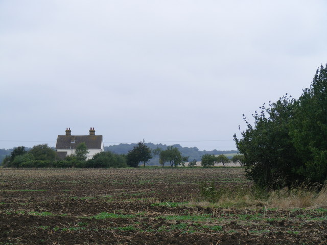
Dick's Wood is a picturesque woodland located in the county of Bedfordshire, England. Covering an area of approximately 30 acres, it is a charming example of an ancient forest that has been preserved for centuries. Situated near the village of Chalgrave, it offers visitors a tranquil and immersive experience in nature.
The wood is predominantly composed of native broadleaf species, including oak, ash, beech, and birch trees. The lush vegetation creates a dense canopy that filters the sunlight, casting a dappled glow on the forest floor below. Springtime brings a burst of color with bluebells carpeting the ground, while wildflowers bloom in abundance during the summer months.
Dick's Wood is home to a rich variety of wildlife. Birdwatchers can spot a wide range of species, from woodpeckers and owls to thrushes and warblers. Small mammals such as badgers, foxes, and rabbits can be glimpsed darting between the trees, while butterflies and insects flit about, adding to the biodiversity of the area.
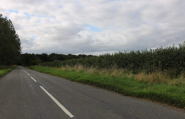
Visitors to Dick's Wood can enjoy peaceful walks along the well-maintained trails that wind through the forest. These paths offer stunning views of the surrounding countryside and provide an opportunity to connect with nature and escape the hustle and bustle of everyday life. The wood is also a popular spot for picnics, photography, and nature enthusiasts seeking a tranquil retreat.
In summary, Dick's Wood is a charming woodland in Bedfordshire, offering visitors a serene and enchanting experience amidst ancient trees, wildflowers, and diverse wildlife. Whether exploring the trails or simply enjoying the calming atmosphere, this forest is a delightful destination for nature lovers.
If you have any feedback on the listing, please let us know in the comments section below.
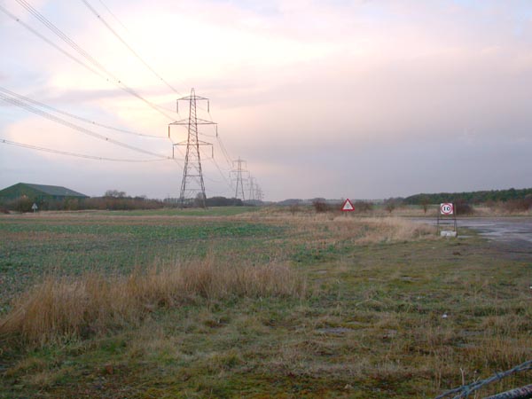
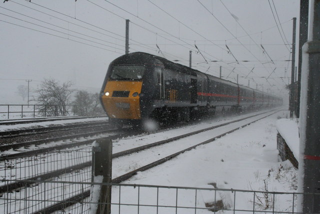
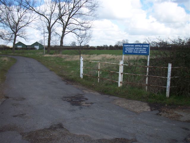
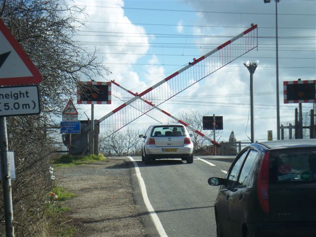
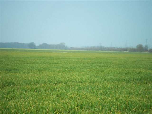
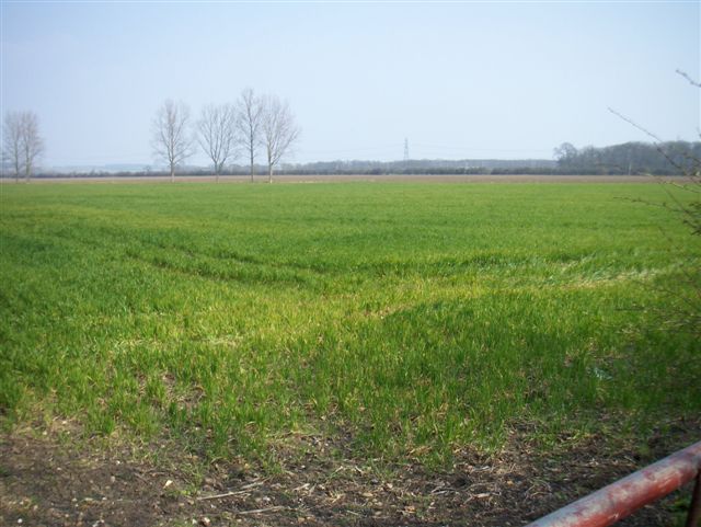
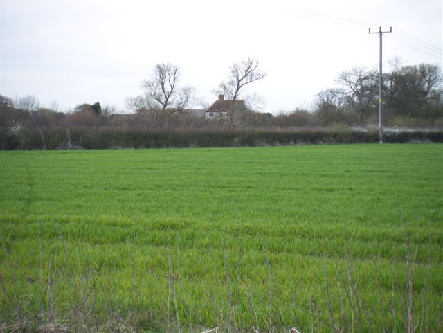
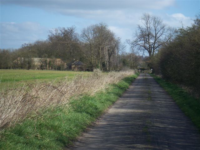
Dick's Wood Images
Images are sourced within 2km of 52.163457/-0.26636433 or Grid Reference TL1853. Thanks to Geograph Open Source API. All images are credited.


Dick's Wood is located at Grid Ref: TL1853 (Lat: 52.163457, Lng: -0.26636433)
Unitary Authority: Central Bedfordshire
Police Authority: Bedfordshire
What 3 Words
///dries.special.nerd. Near Tempsford, Bedfordshire
Nearby Locations
Related Wikis

RAF Tempsford
RAF Tempsford is a former Royal Air Force station located 2.3 miles (3.7 km) north east of Sandy, Bedfordshire, England and 4.4 miles (7.1 km) south of...

Tempsford railway station
Tempsford railway station was a railway station built by the Great Northern Railway to serve the village of Tempsford in Bedfordshire, England. == History... ==
Battle of Tempsford
In 917, the group of Danes who had previously been based in Huntingdon relocated to Tempsford in Bedfordshire, together with other Danes from East Anglia...
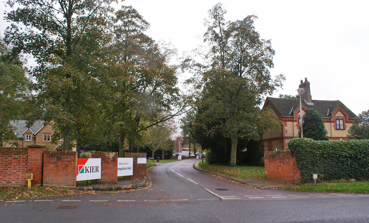
Tempsford Hall
Tempsford Hall is a country house in Tempsford, Bedfordshire. == History == The original hall was built in 1769 for Sir Gillies Payne; it remained in the...

Tempsford
Tempsford is a village and civil parish in the Central Bedfordshire district of the county of Bedfordshire, England, about 7 miles (11 km) east north-east...

Everton, Bedfordshire
Everton is a small rural village of about 200 dwellings (including outlying) and civil parish in the Central Bedfordshire district of Bedfordshire, England...

Tempsford Memorial
The Tempsford Memorial is a war memorial in the village of Tempsford in Bedfordshire. The village was the home of RAF Tempsford. The memorial commemorates...
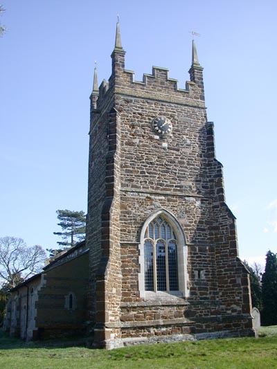
Church of St Mary, Everton, Bedfordshire
Church of St Mary is a Grade I listed church in Everton, Bedfordshire, England. It became a listed building on 26 November 1986. Its most famous rector...
Nearby Amenities
Located within 500m of 52.163457,-0.26636433Have you been to Dick's Wood?
Leave your review of Dick's Wood below (or comments, questions and feedback).