Airfield Belt
Wood, Forest in Bedfordshire
England
Airfield Belt

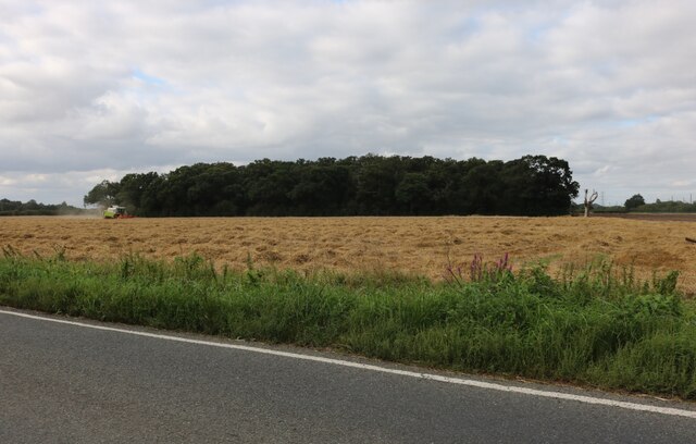
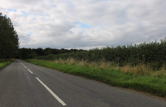
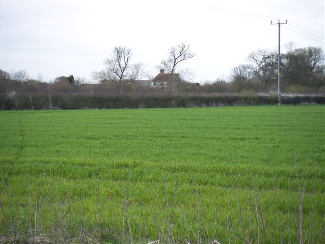
Airfield Belt is a woodland area located in Bedfordshire, England. Covering a vast expanse of approximately 200 acres, it is a designated forest and nature reserve. The woodland is situated near the town of Bedford and is easily accessible by road and public transportation.
Airfield Belt is known for its diverse range of flora and fauna, making it a haven for nature enthusiasts and wildlife lovers. The woodland comprises a mixture of both coniferous and deciduous trees, including oak, beech, and pine, providing a rich habitat for various species of birds, mammals, and insects.
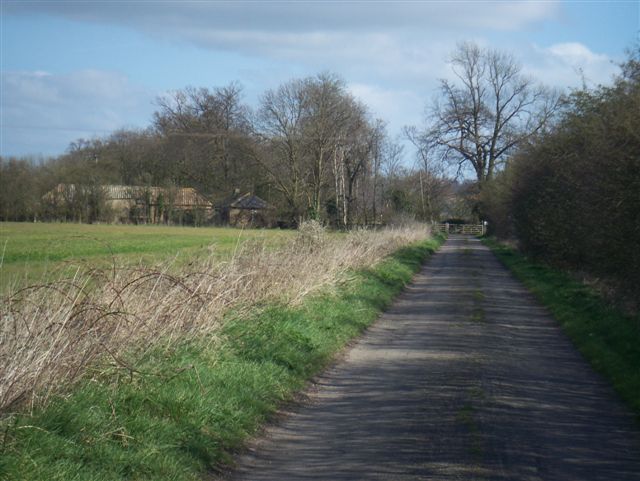
The forest boasts an extensive network of walking trails, allowing visitors to explore and immerse themselves in the serene surroundings. These paths cater to all levels of fitness and are well-maintained, ensuring a pleasant experience for hikers and walkers alike.
The woodland is also home to a variety of recreational facilities, including picnic areas and designated camping spots. This provides an opportunity for families and friends to enjoy a day out in nature, partaking in outdoor activities such as birdwatching, photography, or simply relaxing amidst the tranquil environment.
Airfield Belt is managed and maintained by the local authorities, who work diligently to preserve its natural beauty and protect the ecosystem. Regular conservation efforts are carried out to ensure the sustainability of the forest and its inhabitants.
Overall, Airfield Belt in Bedfordshire is a picturesque woodland retreat, offering a peaceful and idyllic escape from the hustle and bustle of everyday life.
If you have any feedback on the listing, please let us know in the comments section below.
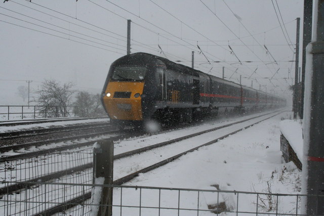
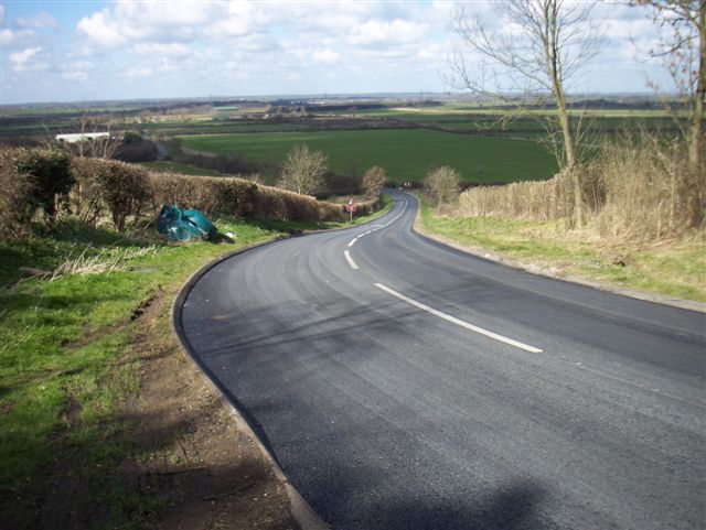
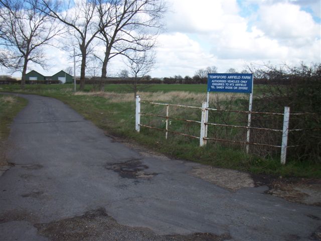
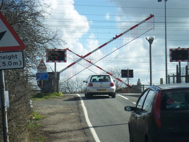
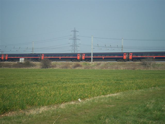
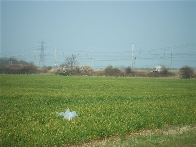
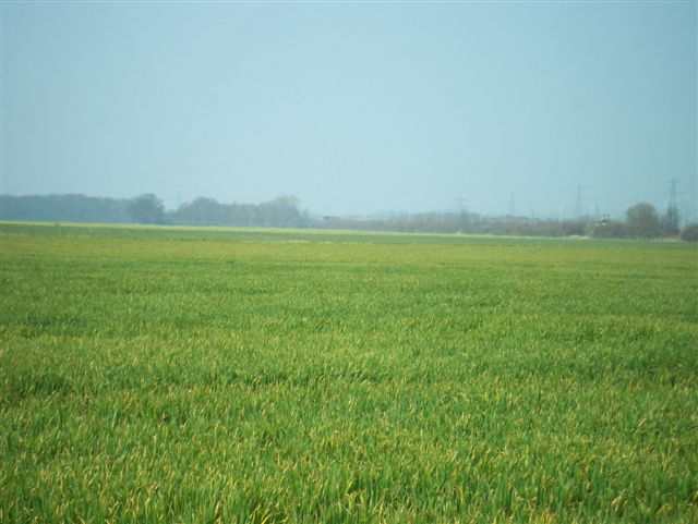
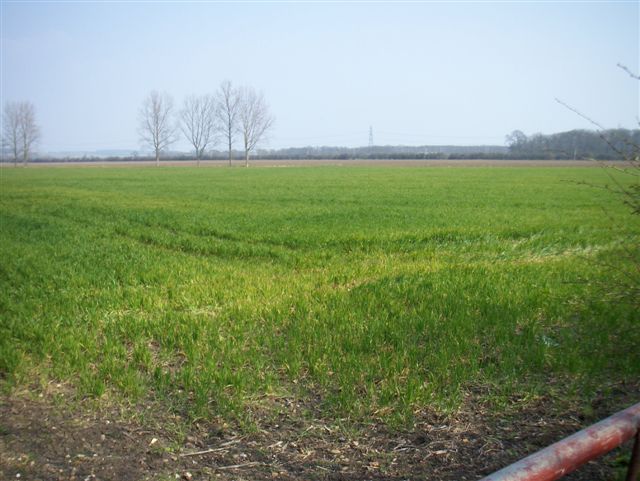
Airfield Belt Images
Images are sourced within 2km of 52.160123/-0.27013427 or Grid Reference TL1852. Thanks to Geograph Open Source API. All images are credited.


Airfield Belt is located at Grid Ref: TL1852 (Lat: 52.160123, Lng: -0.27013427)
Unitary Authority: Central Bedfordshire
Police Authority: Bedfordshire
What 3 Words
///sharpen.drain.kilt. Near Tempsford, Bedfordshire
Nearby Locations
Related Wikis

RAF Tempsford
RAF Tempsford is a former Royal Air Force station located 2.3 miles (3.7 km) north east of Sandy, Bedfordshire, England and 4.4 miles (7.1 km) south of...

Tempsford railway station
Tempsford railway station was a railway station built by the Great Northern Railway to serve the village of Tempsford in Bedfordshire, England. == History... ==
Tempsford Hall
Tempsford Hall is a country house in Tempsford, Bedfordshire. == History == The original hall was built in 1769 for Sir Gillies Payne; it remained in the...

Tempsford
Tempsford is a village and civil parish in the Central Bedfordshire district of the county of Bedfordshire, England, about 7 miles (11 km) east north-east...
Battle of Tempsford
In 917, the group of Danes who had previously been based in Huntingdon relocated to Tempsford in Bedfordshire, together with other Danes from East Anglia...

Tempsford Memorial
The Tempsford Memorial is a war memorial in the village of Tempsford in Bedfordshire. The village was the home of RAF Tempsford. The memorial commemorates...

Everton, Bedfordshire
Everton is a small rural village of about 200 dwellings (including outlying) and civil parish in the Central Bedfordshire district of Bedfordshire, England...
Church of St Mary, Everton, Bedfordshire
Church of St Mary is a Grade I listed church in Everton, Bedfordshire, England. It became a listed building on 26 November 1986. Its most famous rector...
Nearby Amenities
Located within 500m of 52.160123,-0.27013427Have you been to Airfield Belt?
Leave your review of Airfield Belt below (or comments, questions and feedback).