Biggin Wood

Wood, Forest in Bedfordshire

England

Biggin Wood

The entrance to Tempsford Composting Facility
The entrance to Tempsford Composting Facility Credit: David Howard

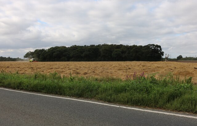
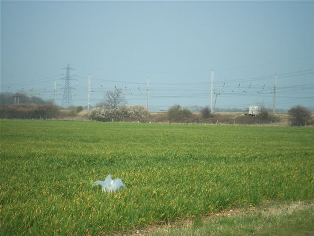
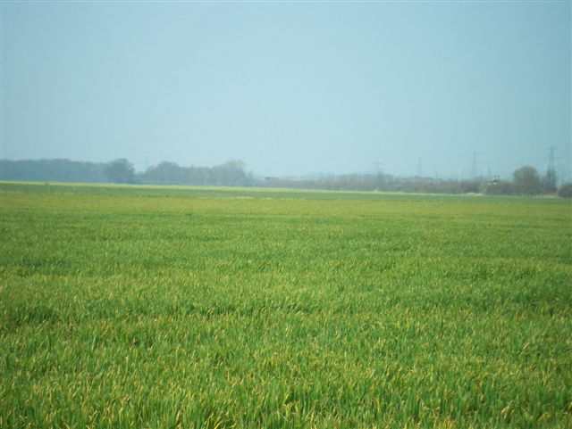
Biggin Wood is a lush and sprawling forest located in the county of Bedfordshire, England. Covering an area of approximately 200 hectares, it is a designated Site of Special Scientific Interest (SSSI) due to its diverse range of flora and fauna.

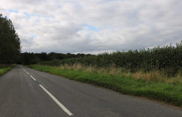
The wood is predominantly composed of deciduous trees, such as oak, beech, and ash, which create a dense canopy overhead, allowing only dappled sunlight to filter through to the forest floor. This creates a cool and tranquil atmosphere, perfect for leisurely walks and nature exploration.

Within Biggin Wood, one can find a plethora of wildlife, including various bird species, such as woodpeckers and tawny owls, as well as mammals like deer, foxes, and badgers. The forest is also home to a wide array of insect life, with butterflies, beetles, and ants being particularly abundant.

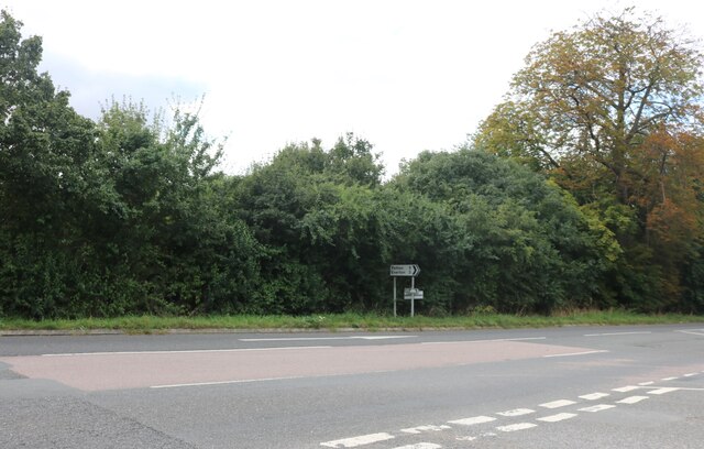
The wood is crisscrossed with a network of well-maintained footpaths, enabling visitors to easily navigate through the forest and discover its hidden treasures. These paths lead to picturesque clearings and small ponds, which serve as habitats for many aquatic and amphibious creatures.

Biggin Wood is a popular spot among nature enthusiasts, hikers, and families looking for a peaceful and scenic outing. It offers opportunities for birdwatching, photography, and simply immersing oneself in the serenity of nature. The wood is easily accessible by car or public transport, with ample parking facilities nearby.

Overall, Biggin Wood is a natural gem in the heart of Bedfordshire, offering a haven of tranquility and biodiversity for all who venture into its leafy embrace.

If you have any feedback on the listing, please let us know in the comments section below.
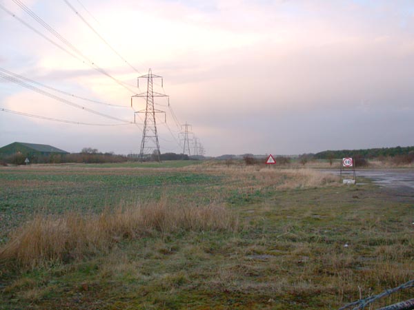
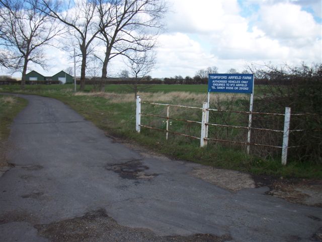
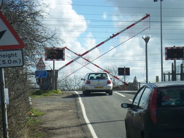
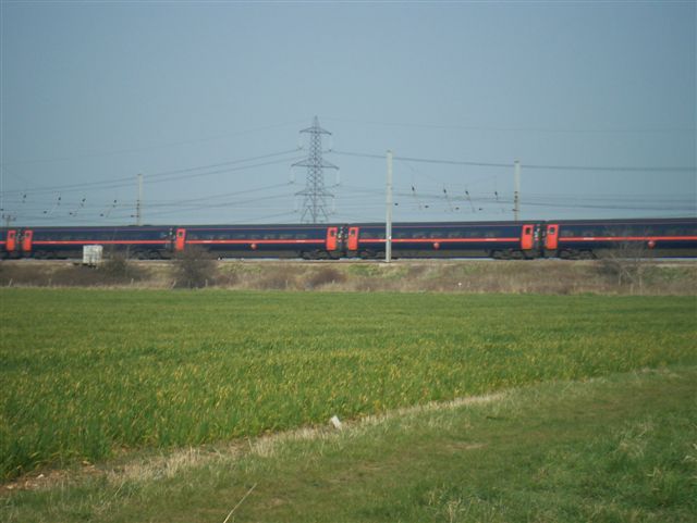
Biggin Wood Images

Images are sourced within 2km of 52.160733/-0.2749645 or Grid Reference TL1852. Thanks to Geograph Open Source API. All images are credited.

The entrance to Tempsford Composting Facility
Copse by Tempsford Road, Church End
Tempsford Road, Church End
Old Great North Road, Church End The dual carriageway runs parallel now.
Old Great North Road, Church End
The dual carriageway runs parallel now.
Roundabout by the Great North Road, Church End
Tempsford Road, Everton
Solar farm at Sandy One of the larger installations of this type. Only a fraction of it is visible in this view. It would be nice to think it was powering the railway directly, but obviously not, or the trains would stop on a dull day.
Solar farm at Sandy
One of the larger installations of this type. Only a fraction of it is visible in this view. It would be nice to think it was powering the railway directly, but obviously not, or the trains would stop on a dull day.
Tempsford airfield Looking north over the former Tempsford airfield. Read about its history here: <span class="nowrap"><a title="http://www.harringtonmuseum.org.uk/HistoryTempsford.htm" rel="nofollow ugc noopener" href="http://www.harringtonmuseum.org.uk/HistoryTempsford.htm">Link</a><img style="margin-left:2px;" alt="External link" title="External link - shift click to open in new window" src="https://s1.geograph.org.uk/img/external.png" width="10" height="10"/></span>
Tempsford airfield
Looking north over the former Tempsford airfield. Read about its history here: LinkExternal link
Train heading from London at Tempsford Crossing This was taken when we had snow on the 8th Feb 2007.
The crossing is at the end of Station Road, and we get a number of trains from London-Peterborough during the hour. The road comes in from <a href="https://www.geograph.org.uk/gridref/TL1754">TL1754</a>, and afterwards forks to go NE towards Hills Farm and SE towards Woodbury Lodge Farm. There is a Public Bridleway at the end of each which link so that you can do a round trip walk.
Train heading from London at Tempsford Crossing
This was taken when we had snow on the 8th Feb 2007. The crossing is at the end of Station Road, and we get a number of trains from London-Peterborough during the hour. The road comes in from TL1754, and afterwards forks to go NE towards Hills Farm and SE towards Woodbury Lodge Farm. There is a Public Bridleway at the end of each which link so that you can do a round trip walk.
Farm entrance Entrance to farm on old World War Two airfield.
Farm entrance
Entrance to farm on old World War Two airfield.
Everton level crossing
Flyover Flyover the A1 near Tempsford
Flyover
Flyover the A1 near Tempsford
Farm Highfield farm building from A1
Farm
Highfield farm building from A1
Effects of a bypass Tempsford village street bypassed by the A1
Effects of a bypass
Tempsford village street bypassed by the A1
East coast main line with high speed train
East coast main line
Farmland
Farmland
Show me another place!

Biggin Wood is located at Grid Ref: TL1852 (Lat: 52.160733, Lng: -0.2749645)

Unitary Authority: Central Bedfordshire

Police Authority: Bedfordshire

What 3 Words

///sublime.videos.profile. Near Tempsford, Bedfordshire

Nearby Locations

Biggin Wood Airfield Belt

Related Wikis

RAF Tempsford

RAF Tempsford is a former Royal Air Force station located 2.3 miles (3.7 km) north east of Sandy, Bedfordshire, England and 4.4 miles (7.1 km) south of...

Tempsford railway station

Tempsford railway station was a railway station built by the Great Northern Railway to serve the village of Tempsford in Bedfordshire, England. == History... ==

Tempsford Hall

Tempsford Hall is a country house in Tempsford, Bedfordshire. == History == The original hall was built in 1769 for Sir Gillies Payne; it remained in the...

Tempsford

Tempsford is a village and civil parish in the Central Bedfordshire district of the county of Bedfordshire, England, about 7 miles (11 km) east north-east...

Battle of Tempsford

In 917, the group of Danes who had previously been based in Huntingdon relocated to Tempsford in Bedfordshire, together with other Danes from East Anglia...

Tempsford Memorial

The Tempsford Memorial is a war memorial in the village of Tempsford in Bedfordshire. The village was the home of RAF Tempsford. The memorial commemorates...

Gannocks Castle

Gannocks Castle is located in the village of Tempsford, in the county of Bedfordshire, England. It is located 6 miles east of Great Barford Castle and...

Everton, Bedfordshire

Everton is a small rural village of about 200 dwellings (including outlying) and civil parish in the Central Bedfordshire district of Bedfordshire, England...

Nearby Amenities

Located within 500m of 52.160733,-0.2749645
Power: tower
Lat/Long: 52.1581575/-0.2739179
Power: tower
Source: Bing
Lat/Long: 52.1615668/-0.2732098
Railway: level_crossing
Lat/Long: 52.1573964/-0.2791779
Power: pole
Lat/Long: 52.1573011/-0.2785164
Power: pole
Lat/Long: 52.1583296/-0.2782321
Power: pole
Lat/Long: 52.1593317/-0.2779987
Power: pole
Lat/Long: 52.1603642/-0.2777962
Power: pole
Lat/Long: 52.16127/-0.2775481
Power: pole
Lat/Long: 52.1621354/-0.2773362
Power: pole
Lat/Long: 52.1650788/-0.2766496
Power: pole
Lat/Long: 52.1640325/-0.276899
Power: pole
Lat/Long: 52.1629992/-0.2771404
Railway: level_crossing
Lat/Long: 52.1574127/-0.279244
Railway: level_crossing
Lat/Long: 52.1573853/-0.2791331
Railway: level_crossing
Lat/Long: 52.1573681/-0.2790684
The data included in this document is from www.openstreetmap.org. The data is made available under ODbL.

Have you been to Biggin Wood?

Leave your review of Biggin Wood below (or comments, questions and feedback).