Coombehead Wood
Wood, Forest in Sussex Adur
England
Coombehead Wood
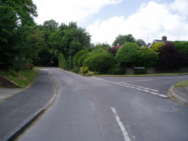
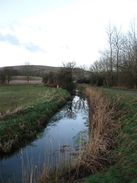
Coombehead Wood is a stunning woodland located in the county of Sussex, England. Spread over an area of approximately 100 acres, this ancient forest is renowned for its natural beauty and diverse flora and fauna.
The wood is predominantly composed of broadleaf trees, such as oak, ash, and beech, which form a dense canopy, creating a cool and shaded environment. The forest floor is covered in a lush carpet of bluebells, ferns, and mosses, adding to the enchanting atmosphere of the wood.
Coombehead Wood is home to a wide variety of wildlife, making it a haven for nature enthusiasts and birdwatchers. It provides a habitat for a range of bird species, including woodpeckers, nuthatches, and owls. Additionally, the wood is inhabited by mammals such as foxes, badgers, and deer, which can often be spotted roaming among the trees.
The wood has a network of well-maintained footpaths and trails, allowing visitors to explore its natural wonders. There are also picnic areas and benches scattered throughout, providing opportunities for visitors to relax and soak in the peaceful surroundings.
Coombehead Wood is not only a place of natural beauty but also holds historical significance. It is believed to have been part of the ancient forest that once covered Sussex during the medieval period. The wood has been preserved and protected over the years, ensuring its continued existence for future generations to enjoy.
Overall, Coombehead Wood offers a serene escape from the hustle and bustle of everyday life, providing a tranquil sanctuary for both nature lovers and history enthusiasts alike.
If you have any feedback on the listing, please let us know in the comments section below.
Coombehead Wood Images
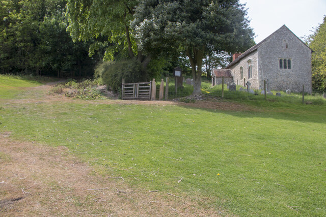
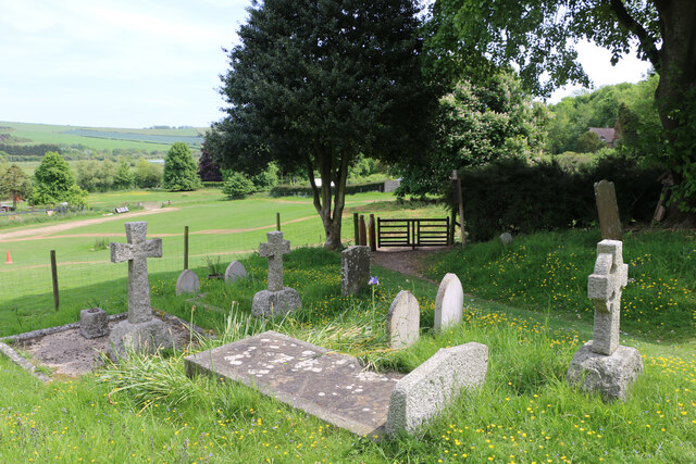
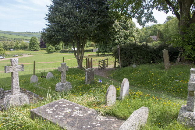
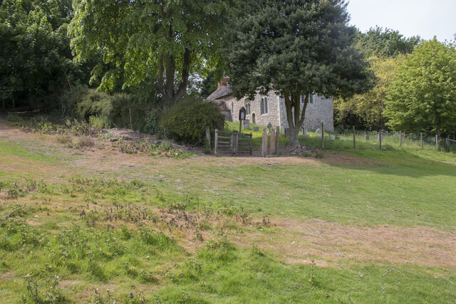
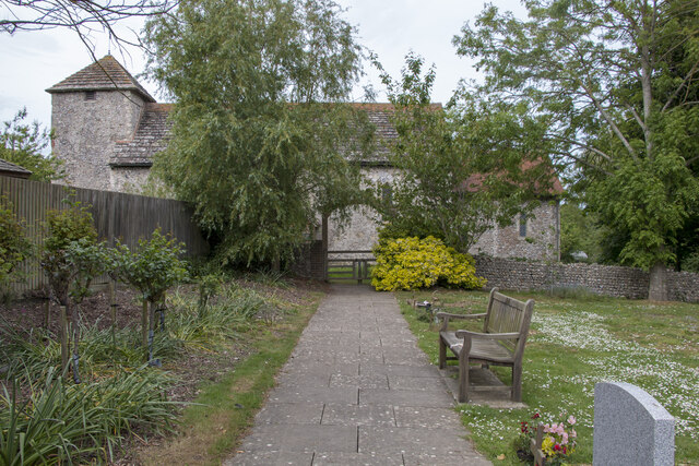
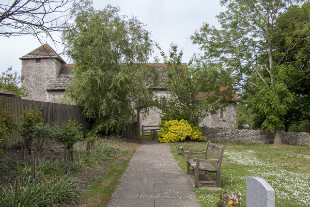
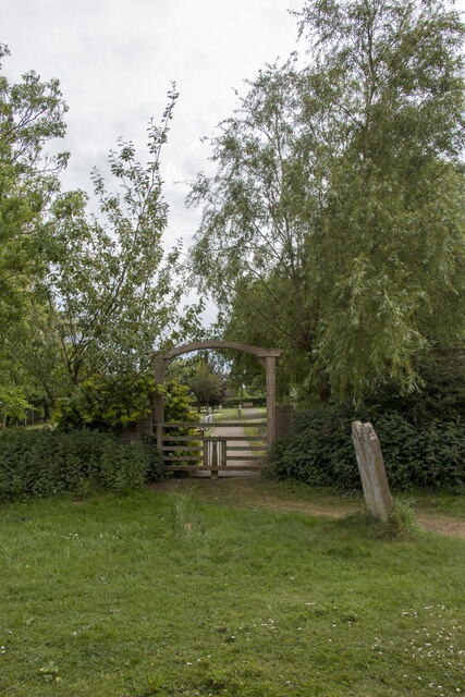
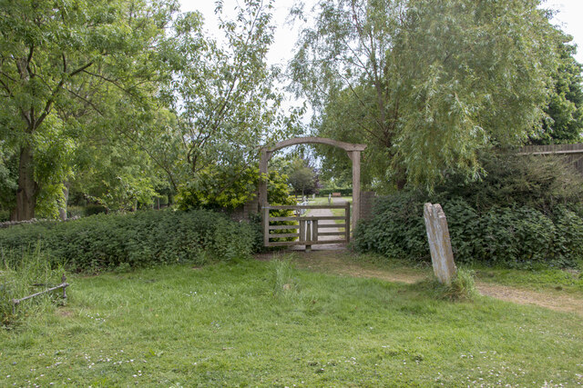
Images are sourced within 2km of 50.862985/-0.32202054 or Grid Reference TQ1808. Thanks to Geograph Open Source API. All images are credited.


Coombehead Wood is located at Grid Ref: TQ1808 (Lat: 50.862985, Lng: -0.32202054)
Administrative County: West Sussex
District: Adur
Police Authority: Sussex
What 3 Words
///heartless.belonged.renovated. Near Steyning, West Sussex
Nearby Locations
Related Wikis
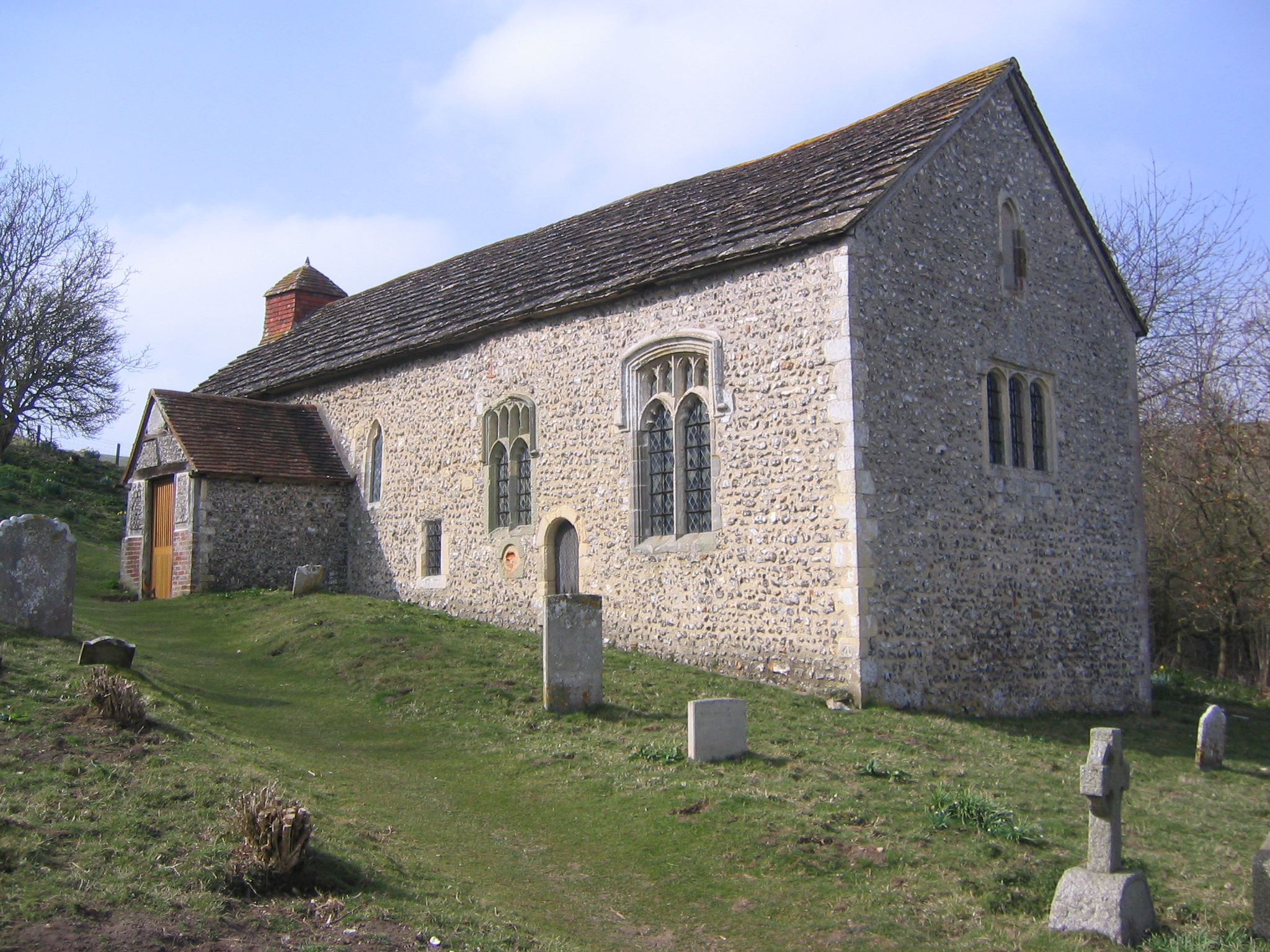
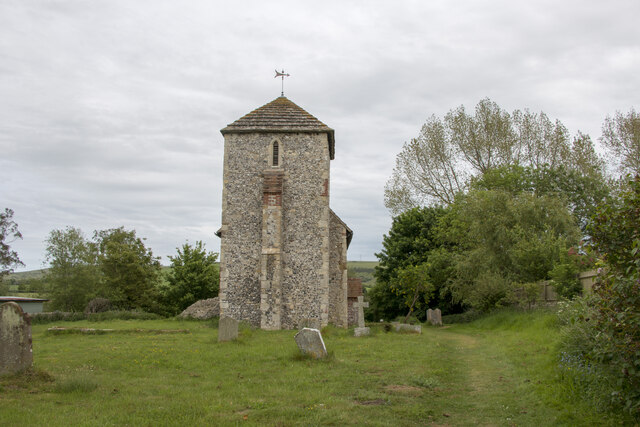
Coombes Church
Coombes Church is a Church of England parish church in the rural hamlet of Coombes in the Adur District of West Sussex, England. It has served the rural...
Coombes
Coombes is a small village and civil parish in the Adur District of West Sussex, England. The village is in the Adur Valley 2 miles (3.2 km) northwest...

Botolphs
Botolphs, formerly known as Annington, is a tiny village and former civil parish, now in the parish of Bramber, in the Horsham District of West Sussex...
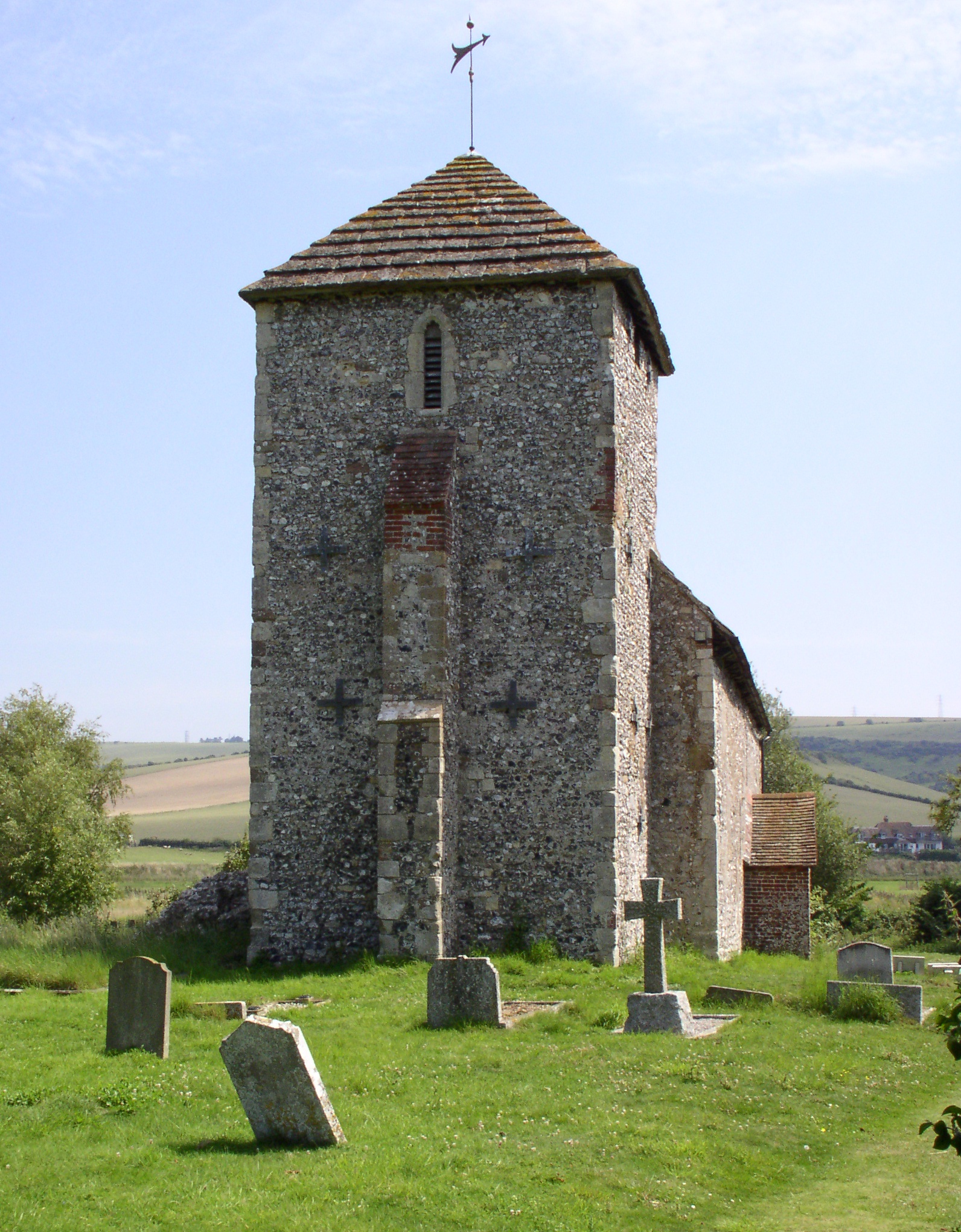
St Botolph's Church, Botolphs
The Grade I listed Saxon church of St Botolph's at Botolphs, West Sussex, England, is situated in the valley of the River Adur and is now part of the Church...
Nearby Amenities
Located within 500m of 50.862985,-0.32202054Have you been to Coombehead Wood?
Leave your review of Coombehead Wood below (or comments, questions and feedback).