Bottom Copse
Wood, Forest in Surrey Mole Valley
England
Bottom Copse
Bottom Copse is a picturesque woodland located in Surrey, England. Spanning over a vast area of land, this enchanting forest offers a tranquil and serene retreat for nature lovers and outdoor enthusiasts alike. Situated on the outskirts of the charming village of Surrey, Bottom Copse is easily accessible and is a popular destination for locals and tourists.
The woodland is characterized by its dense canopy of towering trees, predominantly consisting of oak and beech varieties. The lush vegetation and diverse flora create a vibrant and colorful landscape throughout the year, with bluebells carpeting the forest floor in spring and leaves transforming into hues of gold and red during the autumn season.
Bottom Copse boasts a network of well-maintained trails, allowing visitors to explore and immerse themselves in the natural beauty of the surroundings. The paths wind through the forest, leading to secluded clearings, babbling brooks, and hidden ponds, providing ample opportunities for peaceful walks and picnics.
The woodland is also home to a variety of wildlife, including deer, foxes, and a myriad of bird species. Birdwatchers can delight in the chance to spot woodpeckers, owls, and various songbirds that inhabit the area.
Bottom Copse is a designated Site of Special Scientific Interest (SSSI), highlighting its ecological significance and the need for its preservation. The woodland is managed by local conservation organizations, ensuring the protection of its natural features and safeguarding its biodiversity.
In conclusion, Bottom Copse in Surrey is a captivating woodland that offers visitors a chance to reconnect with nature and enjoy the tranquility of the forest. With its stunning landscapes, diverse wildlife, and well-maintained trails, it is a haven for outdoor enthusiasts seeking a peaceful retreat.
If you have any feedback on the listing, please let us know in the comments section below.
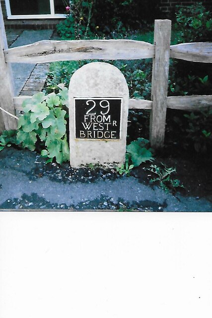
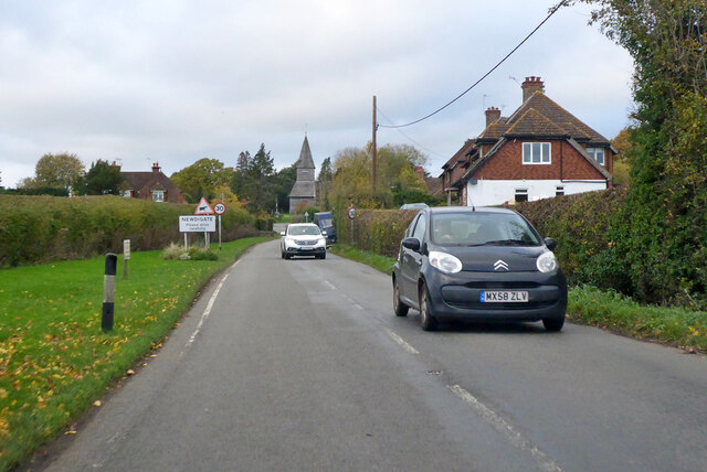
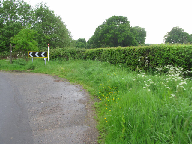
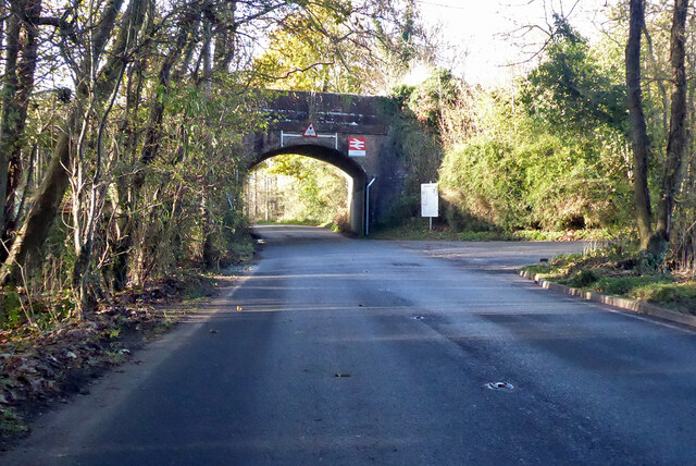
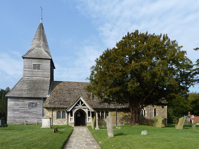
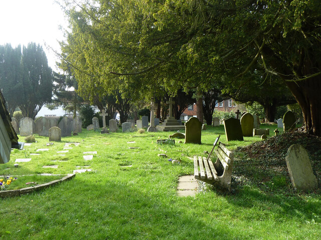
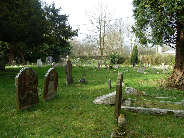
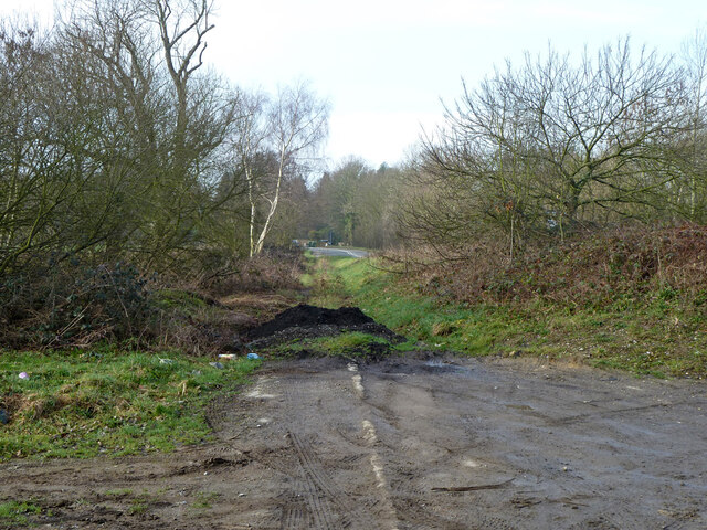
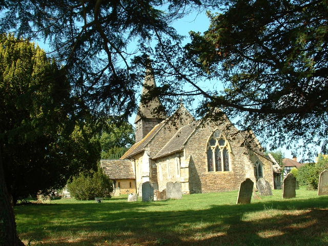
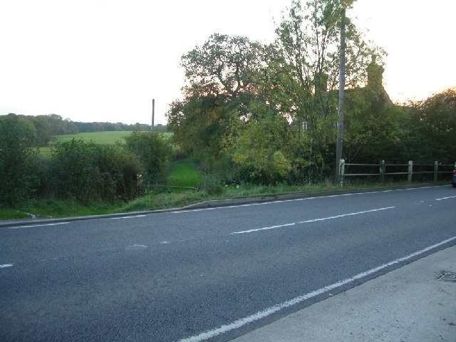
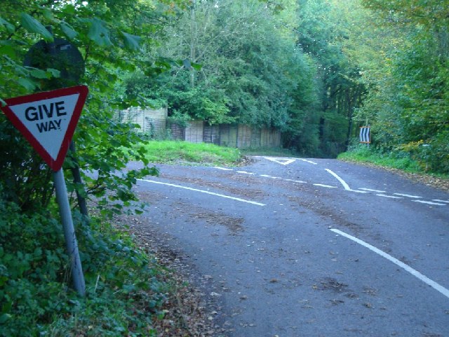
Bottom Copse Images
Images are sourced within 2km of 51.161847/-0.3149041 or Grid Reference TQ1741. Thanks to Geograph Open Source API. All images are credited.


Bottom Copse is located at Grid Ref: TQ1741 (Lat: 51.161847, Lng: -0.3149041)
Administrative County: Surrey
District: Mole Valley
Police Authority: Surrey
What 3 Words
///rates.view.olive. Near Capel, Surrey
Nearby Locations
Related Wikis

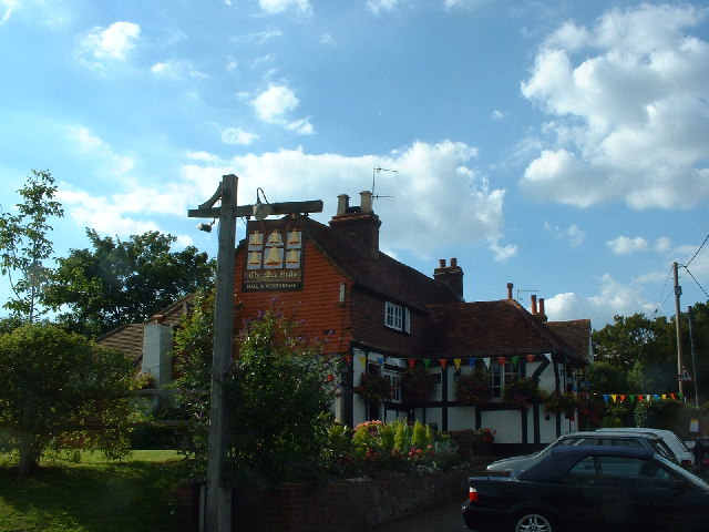
Capel, Surrey
Capel () is a village and civil parish in southern Surrey, England. It is equidistant between Dorking and Horsham – about 5 miles (8.0 km) away. Around...

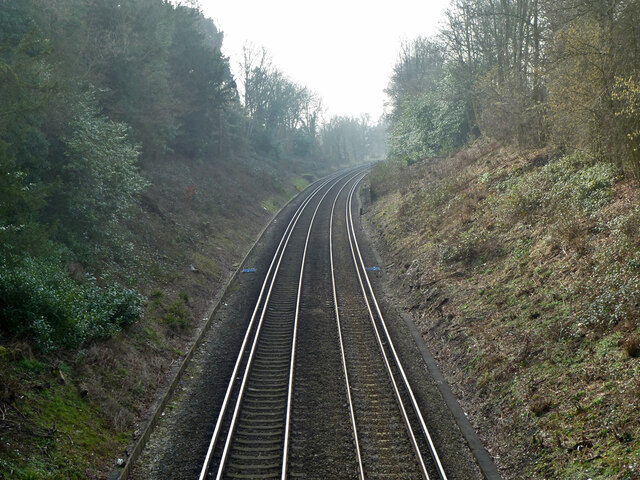
Ockley railway station
Ockley railway station serves the villages of Ockley and Capel in Surrey, England and is 1.4 miles (2.3 km) from Ockley village and 0.5 miles (0.80 km...

Holmwood railway station
Holmwood railway station serves the villages of Beare Green and South Holmwood in Surrey, England, on the Sutton and Mole Valley Lines between Dorking...

Newdigate Brickworks
Newdigate Brickworks is a 24-hectare (59-acre) nature reserve in Newdigate in Surrey. It is managed by the Surrey Wildlife Trust.The clay pits of this...

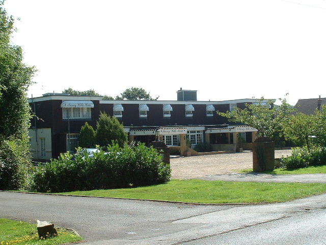
Broome Hall
Broome Hall is a Grade II-listed country house with grounds including cottages and outhouses on the wooded, upper southern slopes of the Greensand Ridge...

Auclaye
Auclaye is a 0.6-hectare (1.5-acre) geological Site of Special Scientific Interest south of Capel in Surrey. It is a Geological Conservation Review site...

Clock House Brickworks
Clock House Brickworks is a 35.9-hectare (89-acre) geological Site of Special Scientific Interest south of Capel in Surrey. It is a Geological Conservation...

Newdigate
Newdigate is a village and civil parish in the Mole Valley borough of Surrey lying in a relatively flat part of the Weald to the east of the A24 road between...
Nearby Amenities
Located within 500m of 51.161847,-0.3149041Have you been to Bottom Copse?
Leave your review of Bottom Copse below (or comments, questions and feedback).