Blundell's Copse

Wood, Forest in Hertfordshire North Hertfordshire

England

Blundell's Copse

Posh house  by Preston Road, St Ippolyts
Posh house by Preston Road, St Ippolyts Credit: David Howard

Blundell's Copse is a picturesque woodland located in Hertfordshire, England. Covering an area of approximately 50 acres, it is one of the largest and most significant woodlands in the county. The copse is named after the Blundell family, who were the original owners of the land.

The woodland is characterized by its diverse range of tree species, including oak, beech, ash, and birch. These trees form a dense canopy that provides a sanctuary for numerous wildlife species. Blundell's Copse is home to a variety of birds, such as woodpeckers, owls, and songbirds, as well as small mammals like squirrels, foxes, and badgers. The copse also contains a number of ancient trees, some of which are estimated to be several hundred years old.

Visitors to Blundell's Copse can enjoy a tranquil and peaceful environment, perfect for walking, birdwatching, and nature photography. The woodland is crisscrossed by a network of well-maintained footpaths, allowing visitors to explore its beauty at their leisure. There is also an educational nature trail, which provides information about the flora and fauna found in the copse.

Blundell's Copse is managed by the local council and is open to the public throughout the year. The copse has a rich history, with evidence of human activity dating back to the Bronze Age. It is a designated Site of Special Scientific Interest (SSSI) due to its ecological importance and is highly valued for its conservation efforts.

Overall, Blundell's Copse is a cherished natural resource in Hertfordshire, offering a haven for wildlife and a peaceful retreat for visitors to enjoy the wonders of nature.

If you have any feedback on the listing, please let us know in the comments section below.

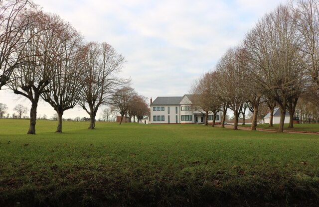
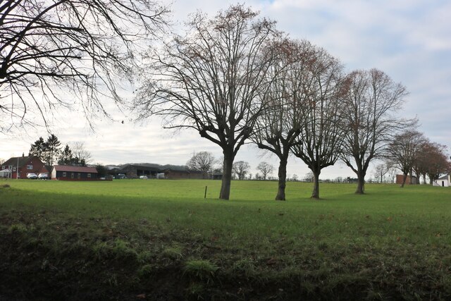
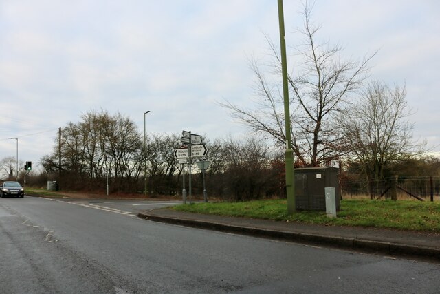
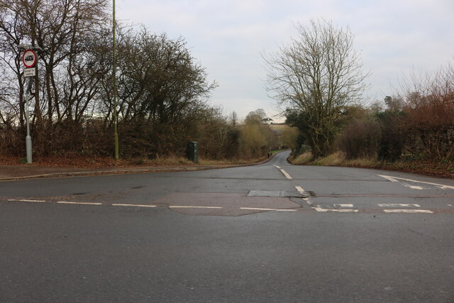
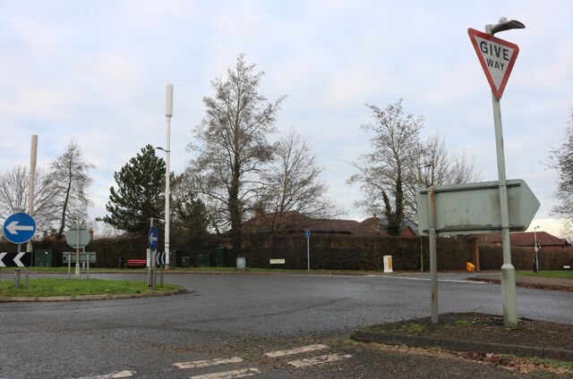
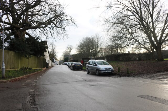
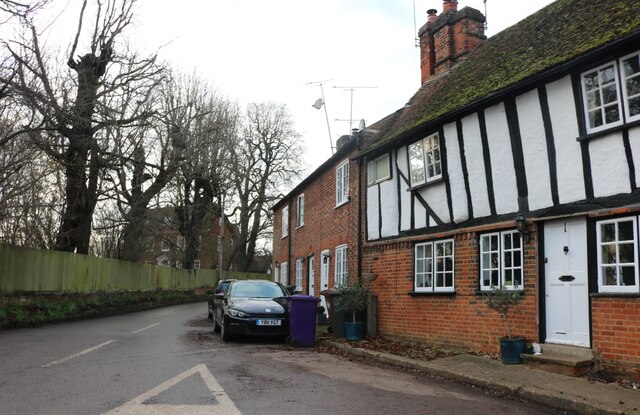
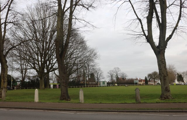
Blundell's Copse Images

Images are sourced within 2km of 51.939232/-0.28593264 or Grid Reference TL1728. Thanks to Geograph Open Source API. All images are credited.

Posh house  by Preston Road, St Ippolyts
Posh house by Preston Road, St Ippolyts
Field by Preston Road, St Ippolyts
London Road, Gosmore
Brookend Lane at the junction of London Road
Roundabout on London Road, Gosmore At the junction of Broadmeadow Rise
Roundabout on London Road, Gosmore
At the junction of Broadmeadow Rise
London Road, Hitchin
Priory Way from the junction of Gosmore Road
High Street, Gosmore Gosmore is a village now subsumed by the spread of Hitchin.
High Street, Gosmore
Gosmore is a village now subsumed by the spread of Hitchin.
Maydencroft Lane, Gosmore The house on the right appears to be original Tudor.
Maydencroft Lane, Gosmore
The house on the right appears to be original Tudor.
Park by Bedford Road, Hitchin Hitchin Town FC is opposite
Park by Bedford Road, Hitchin
Hitchin Town FC is opposite
Flats on Stevenage Road, Hitchin
House on Chiltern Road, Hitchin
Sevensprings Way, Hitchin The Cadent van lives here.
Sevensprings Way, Hitchin
The Cadent van lives here.
Broadmead, Hitchin
Broadmead, Hitchin
The Avenue, Hitchin
The Avenue, Hitchin
Walsworth Road, Hitchin Dacre Road leads off to the right. On the corner is the Albert, formerly the Prince Albert, which describes itself as a 'craft beer and dining room'. The kitchen is in fact a relatively recent addition. Beyond the pub is the delightfully named Hitchin Kitchen Café.
Walsworth Road, Hitchin
Dacre Road leads off to the right. On the corner is the Albert, formerly the Prince Albert, which describes itself as a 'craft beer and dining room'. The kitchen is in fact a relatively recent addition. Beyond the pub is the delightfully named Hitchin Kitchen Café.
Hermitage Road, Hitchin Frederic Seebohm, who owned a large house in Hitchin called the Hermitage, donated some of his land to build Hermitage Road in 1874. The shops on the left, and the half-timbered building on the right, date from the late 1920s and 1930s.
Hermitage Road, Hitchin
Frederic Seebohm, who owned a large house in Hitchin called the Hermitage, donated some of his land to build Hermitage Road in 1874. The shops on the left, and the half-timbered building on the right, date from the late 1920s and 1930s.
Hermitage Road, Hitchin Frederic Seebohm, who owned a large house in Hitchin called the Hermitage, donated some of his land to build Hermitage Road in 1874. The row of shops, including the half-timbered building, dates from the late 1920s and 1930s.
Hermitage Road, Hitchin
Frederic Seebohm, who owned a large house in Hitchin called the Hermitage, donated some of his land to build Hermitage Road in 1874. The row of shops, including the half-timbered building, dates from the late 1920s and 1930s.
Show me another place!

Blundell's Copse is located at Grid Ref: TL1728 (Lat: 51.939232, Lng: -0.28593264)

Administrative County: Hertfordshire

District: North Hertfordshire

Police Authority: Hertfordshire

What 3 Words

///oasis.stared.lanes. Near Hitchin, Hertfordshire

Related Wikis

Charlton, Hertfordshire

Charlton is a hamlet in the county of Hertfordshire, in the East of England. It is a component hamlet of the market town of Hitchin, forming a part of...
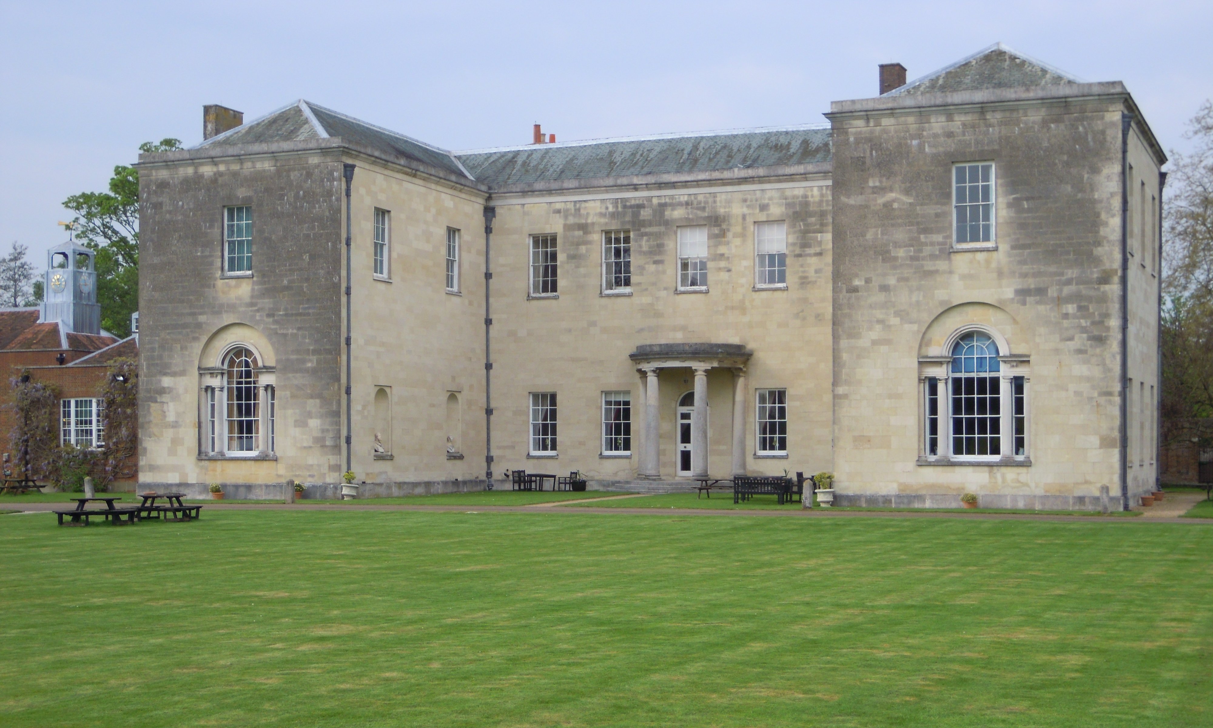
Hitchin Priory

Hitchin Priory in Hitchin in Hertfordshire is today a hotel built in about 1700 on the site of a Carmelite friary founded in 1317, which was closed in...
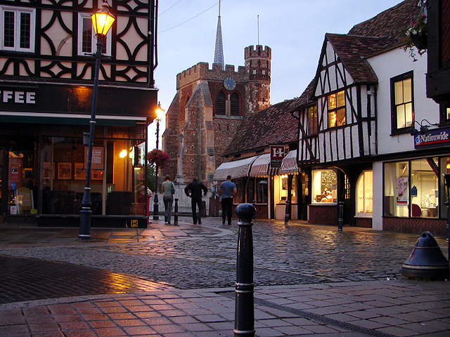
Hitchin

Hitchin () is a market town in the North Hertfordshire district of Hertfordshire, England. == History == Hitchin is first noted as the central place of...

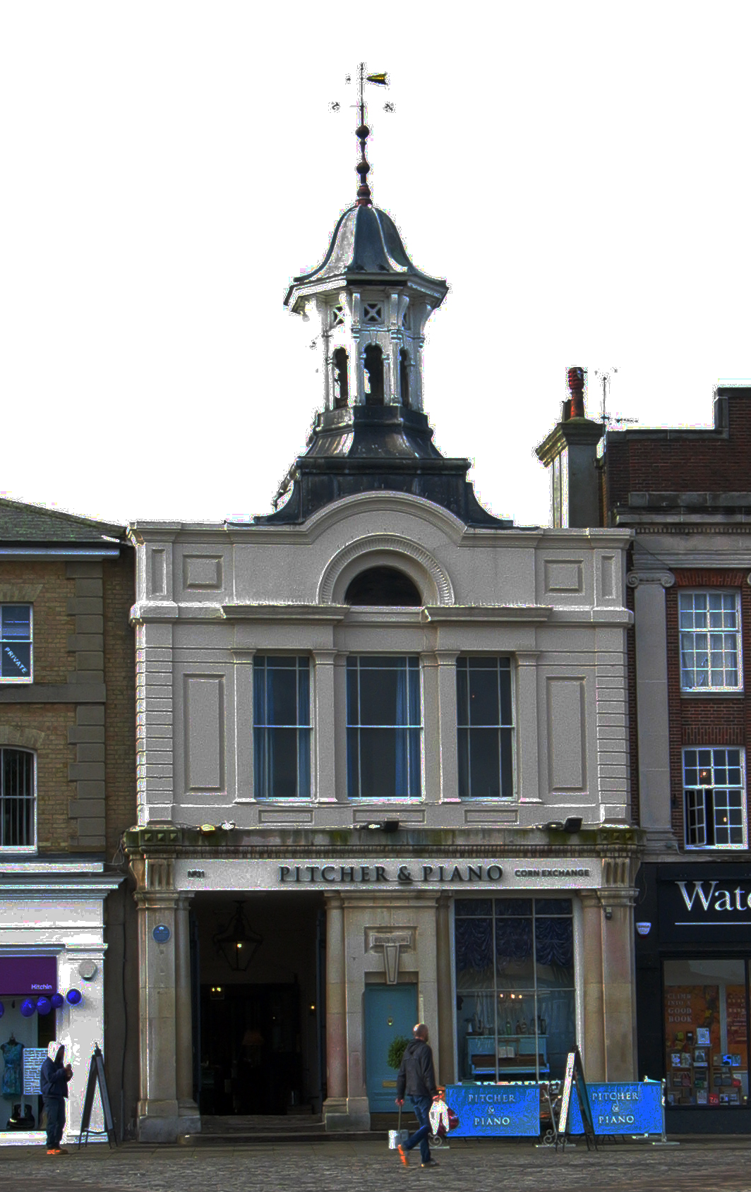
Corn Exchange, Hitchin

The Corn Exchange is a commercial building in the Market Place in Hitchin, Hertfordshire, England. The structure, which is currently used as a bar and...

British Schools Museum

The British Schools Museum is an educational museum based in original Edwardian and Victorian school buildings in Hitchin in Hertfordshire, England. The...
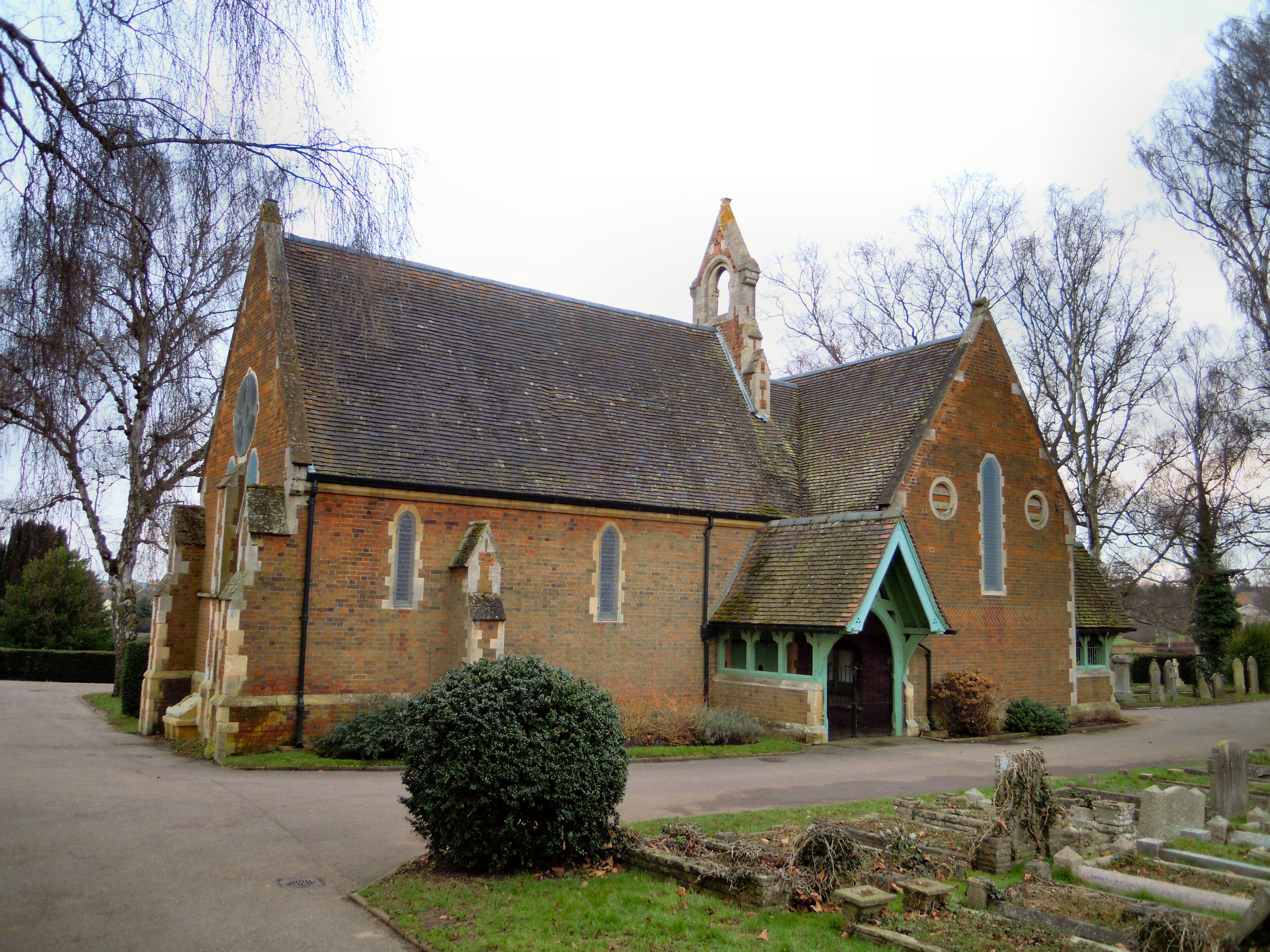
Hitchin Cemetery

Hitchin Cemetery, also known as St John's Road Cemetery, is the main burial ground for the town of Hitchin in Hertfordshire. The cemetery is located on...

Hitchin Museum and Art Gallery

The Hitchin Museum and Art Gallery was a local history museum in Hitchin, Hertfordshire, England, with an extensive collection that told the story of the...

St Mary's Church, Hitchin

St Mary's Church is a Church of England parish church in Hitchin, Hertfordshire, England. St Mary's Church is the largest parish church in Hertfordshire...

Nearby Amenities

Located within 500m of 51.939232,-0.28593264
Fixme: Establish continuity of PFP 38. Hitchin Hill in 1/2 Mile signposted on PFP
Lat/Long: 51.9386772/-0.2858601
Barrier: kissing_gate
Foot: yes
Lat/Long: 51.9394451/-0.2876876
Barrier: kissing_gate
Foot: yes
Lat/Long: 51.937911/-0.2888052
Post Box
Collection Times: Mo-Fr 09:00, Sa 07:00
Operator: Royal Mail
Post Box Type: lamp
Ref: SG5 117
Royal Cypher: EIIR
Royal Cypher Wikidata: Q33102113
Lat/Long: 51.9389863/-0.2870675
Barrier: kissing_gate
Lat/Long: 51.9417322/-0.2851842
Barrier: fence
Lat/Long: 51.9413881/-0.2796797
Note: Bizarrely, there's a cycle plug here, but it does not bypass the no-entry, so kind of pointless !
Lat/Long: 51.9433349/-0.2862855
Fire Hydrant
Emergency: fire_hydrant
Fire Hydrant Diameter: 100
Fire Hydrant Position: sidewalk
Fire Hydrant Type: underground
Text: 100H1
Lat/Long: 51.9401158/-0.2859748
Bench
Backrest: yes
Check Date: 2021-04-11
Lat/Long: 51.9386734/-0.2858329
Fire Hydrant
Emergency: fire_hydrant
Fire Hydrant Diameter: 4 inch
Fire Hydrant Type: underground
Text: 4H3
Lat/Long: 51.939608/-0.2862696
Barrier: bollard
Bicycle: yes
Bollard: removable
Foot: yes
Horse: yes
Lat/Long: 51.9385808/-0.2858243
Ford: yes
Source: observation
Lat/Long: 51.9390684/-0.2865084
Charlton
Is In: Hertfordshire; England; United Kingdom
Place: village
Population: 50
Source: NPE
Wikidata: Q5086273
Wikipedia: en:Charlton, Hertfordshire
Lat/Long: 51.9387885/-0.2869856
Frequency: 50
Location Transition: yes
Material: wood
Operator: UK Power Networks
Phases: 3
Power: pole
Transformer: distribution
Lat/Long: 51.9408737/-0.2880827
Material: wood
Operator: UK Power Networks
Power: pole
Lat/Long: 51.9398956/-0.2888605
Material: wood
Operator: UK Power Networks
Power: pole
Lat/Long: 51.9380213/-0.2895632
Material: wood
Operator: UK Power Networks
Power: pole
Lat/Long: 51.9391391/-0.2894345
Frequency: 50
Location Transition: yes
Material: wood
Operator: UK Power Networks
Phases: 3
Power: pole
Transformer: distribution
Lat/Long: 51.9385521/-0.2885628
Material: wood
Operator: UK Power Networks
Power: pole
Lat/Long: 51.937297/-0.2912477
Barrier: kissing_gate
Foot: yes
Source: observation, GPS
Lat/Long: 51.9381453/-0.2839182
Barrier: kissing_gate
Foot: yes
Source: observation, GPS
Lat/Long: 51.9367194/-0.2874787
Barrier: kissing_gate
Foot: yes
Source: observation, GPS
Lat/Long: 51.9368893/-0.2883964
The data included in this document is from www.openstreetmap.org. The data is made available under ODbL.

Have you been to Blundell's Copse?

Leave your review of Blundell's Copse below (or comments, questions and feedback).