Ellington Thorpe
Settlement in Huntingdonshire Huntingdonshire
England
Ellington Thorpe

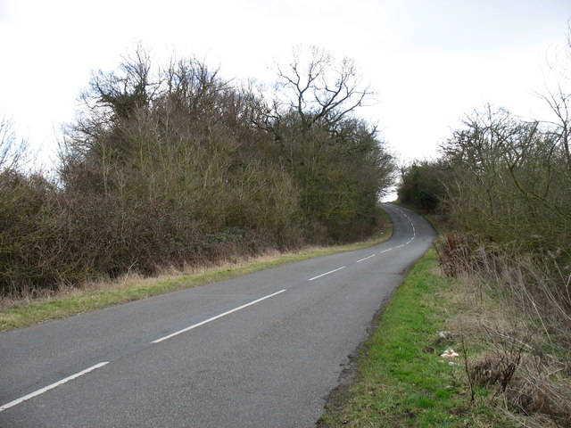
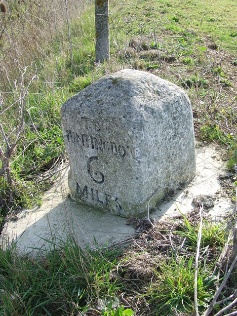
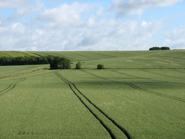
Ellington Thorpe is a small village located in the district of Huntingdonshire, Cambridgeshire, England. Situated approximately 6 miles west of the town of Huntingdon, it is nestled in a picturesque rural setting, surrounded by fields and countryside.
The village has a population of around 250 residents, with a close-knit community atmosphere. The architecture in Ellington Thorpe is predominantly traditional English, featuring charming cottages and farmhouses that add to the village's quaint appeal.
Despite its small size, the village offers a range of amenities for its residents. These include a local pub, The Thorpe Arms, which is a popular meeting place for both locals and visitors. Additionally, there is a village hall that serves as a venue for community events and gatherings.
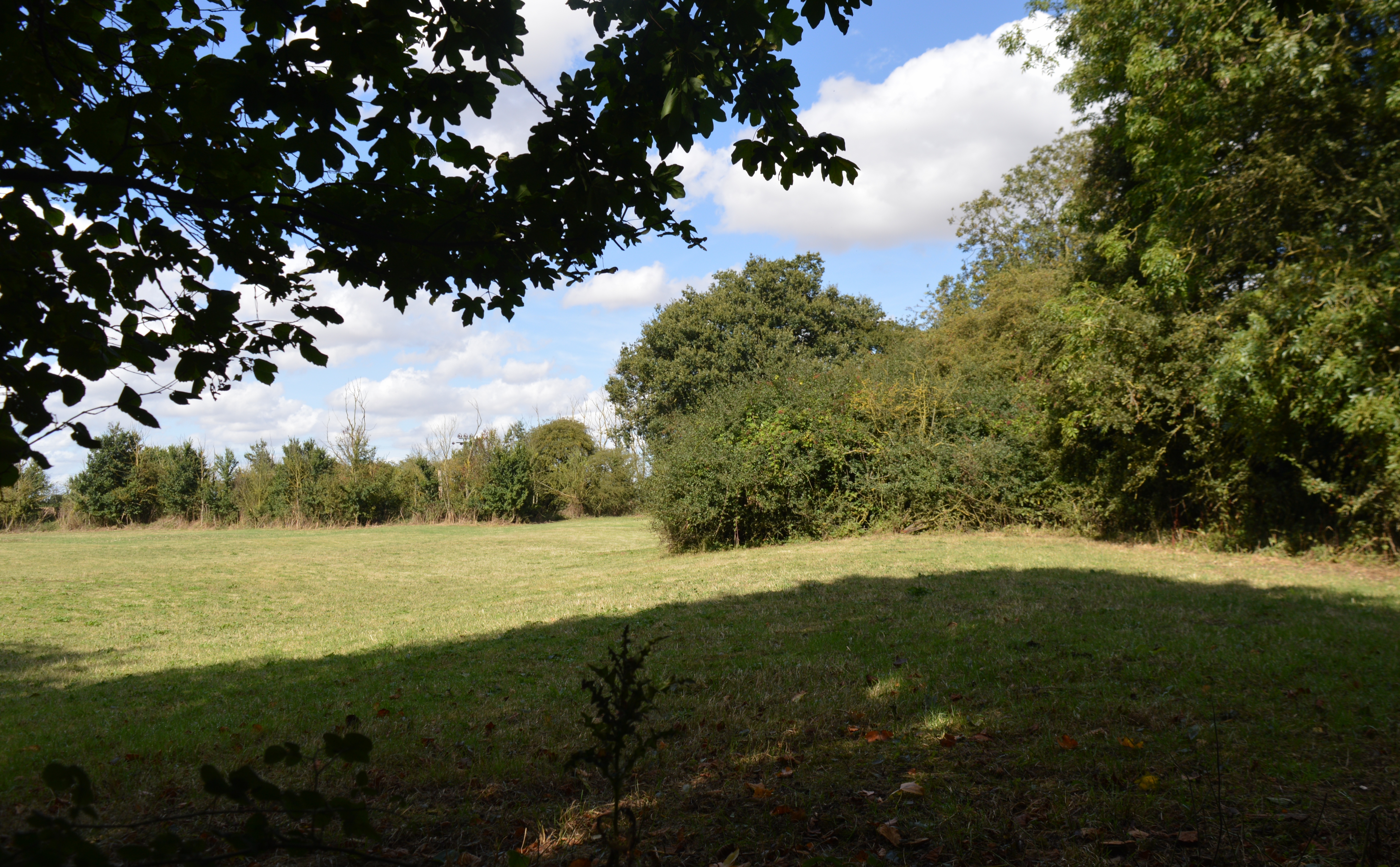
Ellington Thorpe is surrounded by natural beauty, with the River Great Ouse flowing nearby. This provides opportunities for outdoor activities such as fishing, boating, and scenic walks along the riverbanks. The village also benefits from its proximity to the nearby Hinchingbrooke Country Park, a large parkland offering extensive walking trails, wildlife spotting, and a lake.
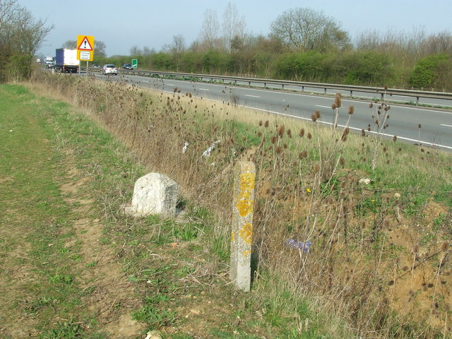
Transportation in Ellington Thorpe is primarily reliant on private vehicles, as there is limited public transport available. However, the village is conveniently located near major road networks, including the A14, providing easy access to nearby towns and cities.
In summary, Ellington Thorpe is a charming rural village with a strong sense of community and an abundance of natural beauty. Its peaceful surroundings and range of amenities make it an attractive place to live for those seeking a tranquil countryside lifestyle.
If you have any feedback on the listing, please let us know in the comments section below.
Ellington Thorpe Images
Images are sourced within 2km of 52.322134/-0.300894 or Grid Reference TL1570. Thanks to Geograph Open Source API. All images are credited.


Ellington Thorpe is located at Grid Ref: TL1570 (Lat: 52.322134, Lng: -0.300894)
Administrative County: Cambridgeshire
District: Huntingdonshire
Police Authority: Cambridgeshire
What 3 Words
///obviously.health.pretty. Near Buckden, Cambridgeshire
Nearby Locations
Related Wikis
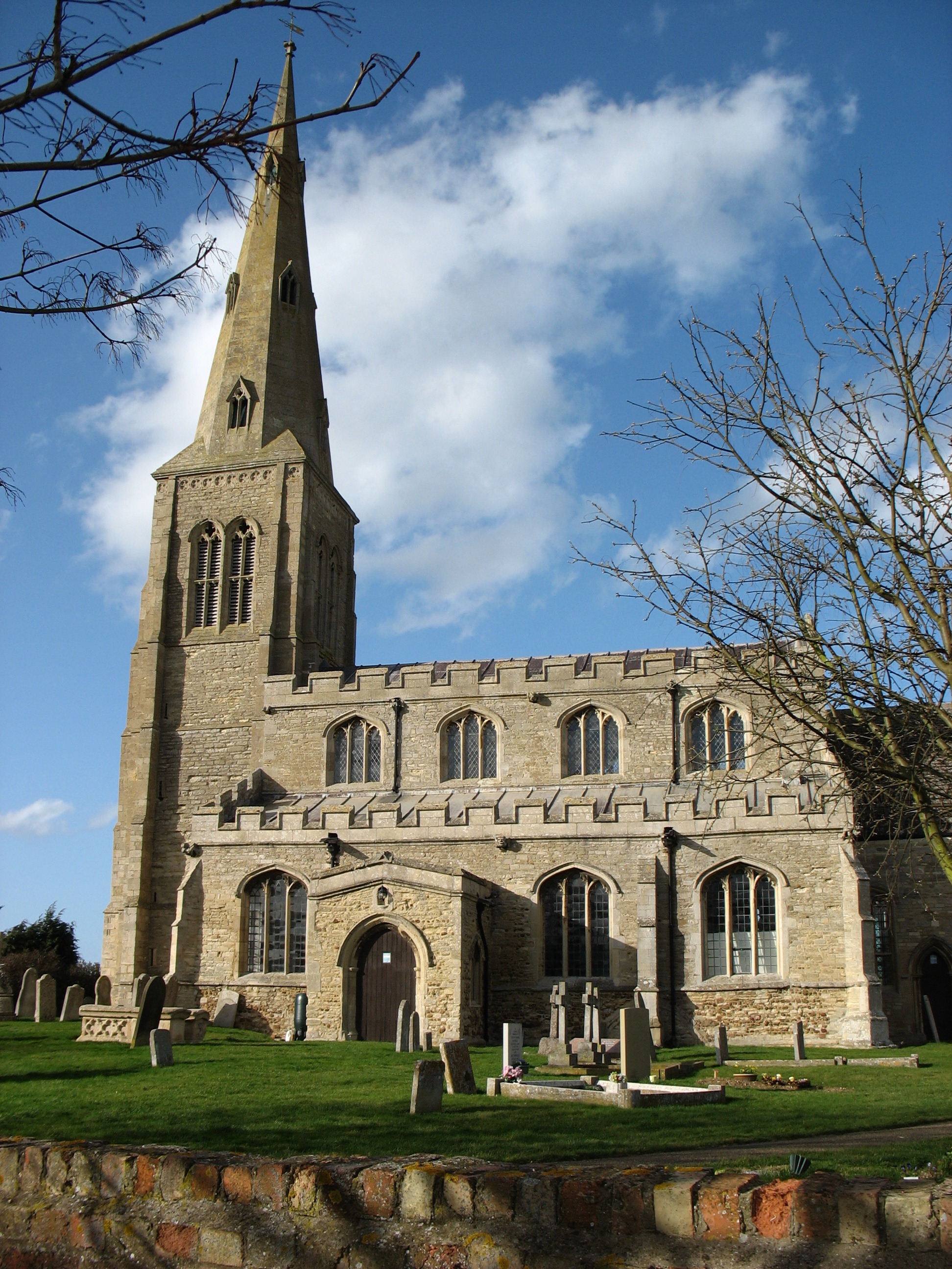
Ellington, Cambridgeshire
Ellington is a village and civil parish in Cambridgeshire, England, 4 miles (6 km) west of Huntingdon in Huntingdonshire, a non-metropolitan district...
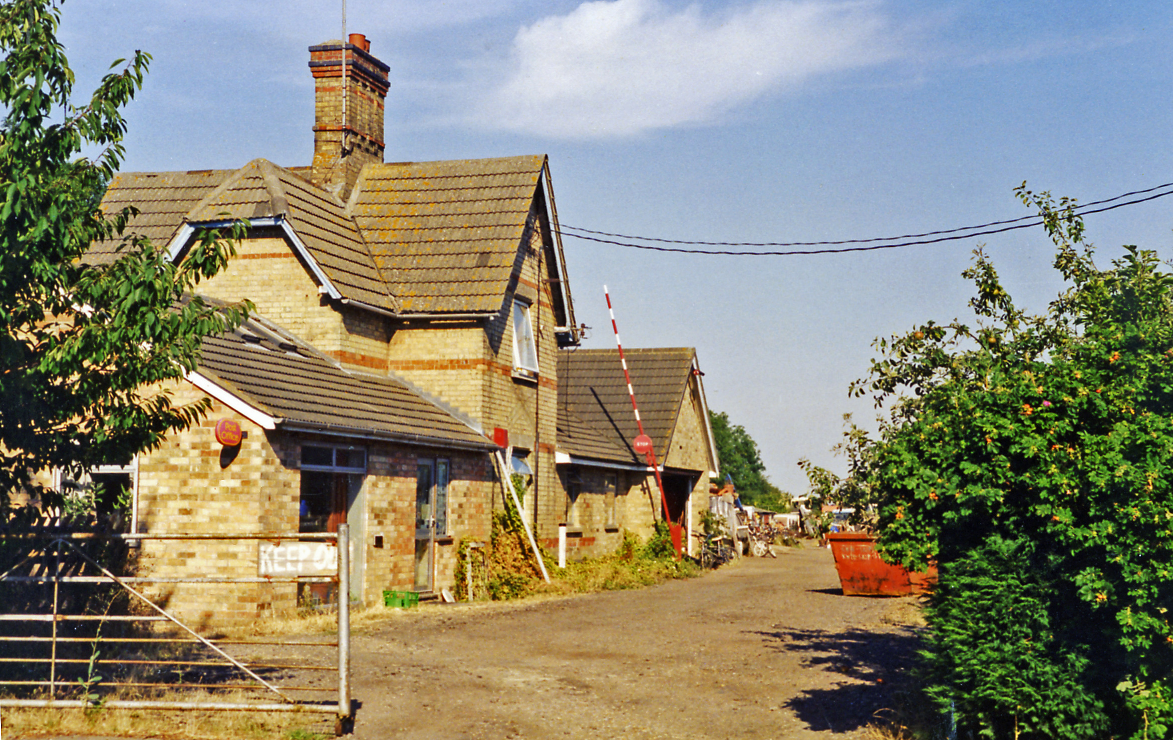
Grafham railway station
Grafham railway station was a railway station in Grafham, Cambridgeshire. The station and its line closed in 1959.In the 1990s the railway station buildings...
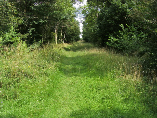
Brampton Wood
Brampton Wood is a 132.1-hectare (326-acre) biological Site of Special Scientific Interest in Cambridgeshire. The site is west of Brampton in Cambridgeshire...

Easton, Cambridgeshire
Easton is a village and civil parish in Cambridgeshire, England. Easton lies approximately 6 miles (10 km) west of Huntingdon, between the villages of...

Shepherd's Close
Shepherd's Close is a 1.2-hectare (3.0-acre) nature reserve south of Spaldwick in Cambridgeshire. It is managed by the Wildlife Trust for Bedfordshire...
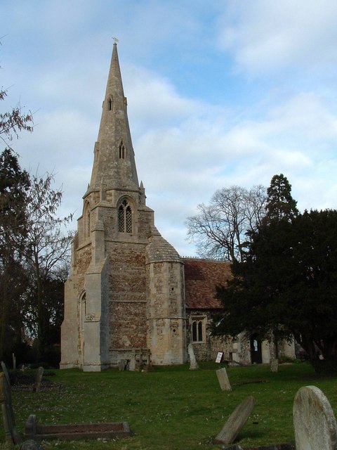
Grafham, Cambridgeshire
Grafham is a village and civil parish in Cambridgeshire, England. Grafham lies approximately 5 miles (8 km) south-west of Huntingdon. Grafham is situated...

Grafham Water
Grafham Water is an 806.3-hectare (1,992-acre) biological Site of Special Scientific Interest (SSSI) north of Perry, Huntingdonshire. It was designated...
Brampton Meadow
Brampton Meadow is a one hectare biological Site of Special Scientific Interest north-west of Brampton in Cambridgeshire, England.The site has a rich variety...
Nearby Amenities
Located within 500m of 52.322134,-0.300894Have you been to Ellington Thorpe?
Leave your review of Ellington Thorpe below (or comments, questions and feedback).