Ellington
Settlement in Huntingdonshire Huntingdonshire
England
Ellington

Ellington is a small village located in the district of Huntingdonshire, in the county of Cambridgeshire, England. Situated approximately 4 miles west of the town of Huntingdon, Ellington has a population of around 500 people.
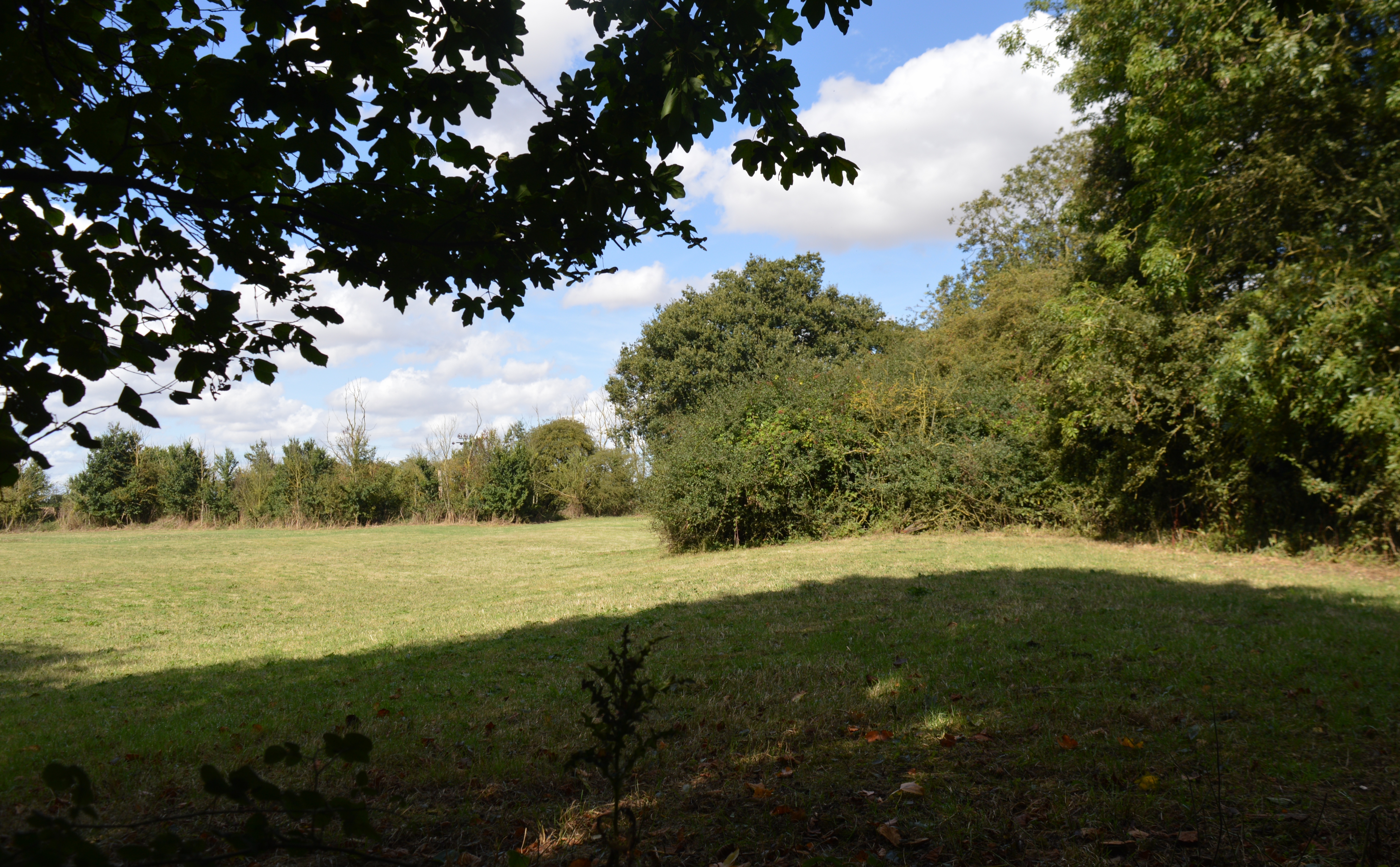
The village is nestled amidst picturesque countryside, with the River Great Ouse flowing nearby, enhancing the charming rural setting. Ellington boasts a tranquil and peaceful atmosphere, making it an ideal place for those seeking a quiet and idyllic lifestyle.
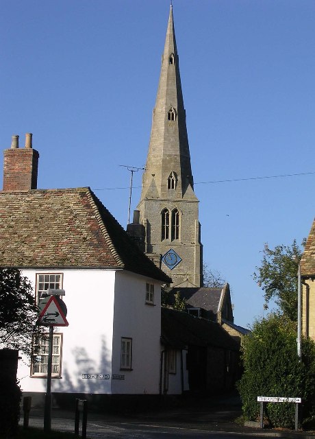
Despite its small size, Ellington has a strong sense of community, with various local events and activities organized throughout the year. The village has a vibrant social scene, with a well-established pub, The Mermaid, serving as a hub for locals and visitors alike.
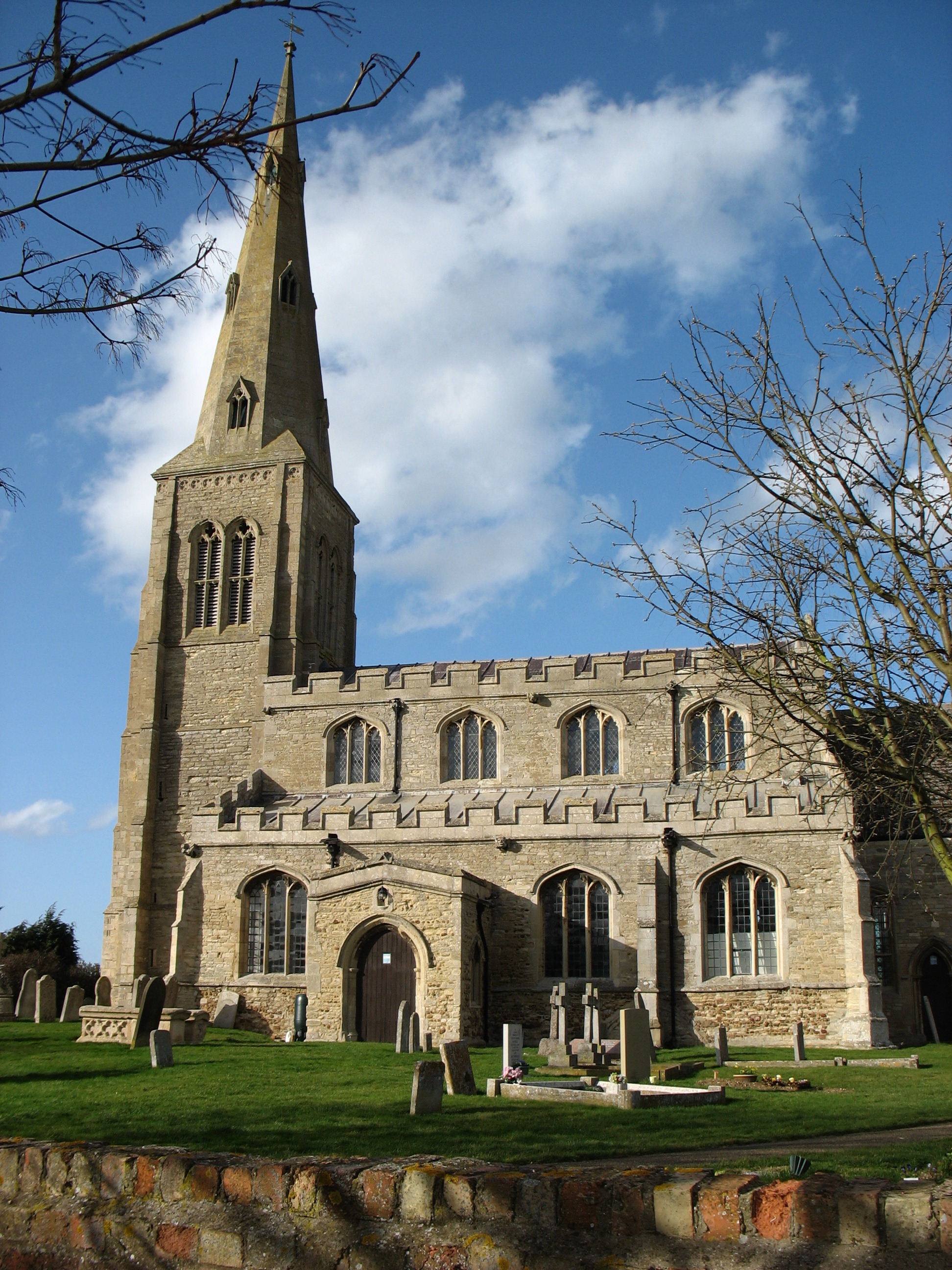
Ellington is also known for its historic architecture, with several notable buildings dotted throughout the village. The Grade II-listed St. Nicholas Church, dating back to the 13th century, is a prominent feature and holds regular services for the community.
The village offers a range of amenities for its residents, including a primary school, a village hall, and a children's playground. Additionally, Ellington benefits from excellent transport links, with the A14 road nearby, providing easy access to Huntingdon and Cambridge.
In conclusion, Ellington is a charming and close-knit village in Huntingdonshire, offering a peaceful countryside setting, a strong community spirit, and a range of amenities for its residents.
If you have any feedback on the listing, please let us know in the comments section below.
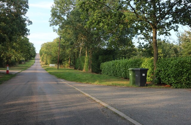
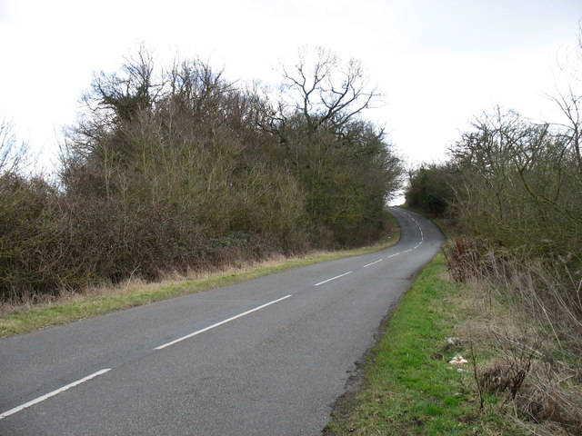
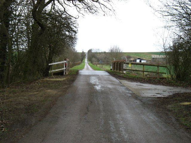
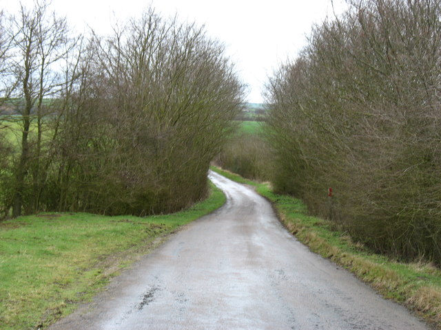
Ellington Images
Images are sourced within 2km of 52.331832/-0.300595 or Grid Reference TL1571. Thanks to Geograph Open Source API. All images are credited.


Ellington is located at Grid Ref: TL1571 (Lat: 52.331832, Lng: -0.300595)
Administrative County: Cambridgeshire
District: Huntingdonshire
Police Authority: Cambridgeshire
What 3 Words
///degrading.tolerable.reading. Near Alconbury, Cambridgeshire
Nearby Locations
Related Wikis
Ellington, Cambridgeshire
Ellington is a village and civil parish in Cambridgeshire, England, 4 miles (6 km) west of Huntingdon in Huntingdonshire, a non-metropolitan district...
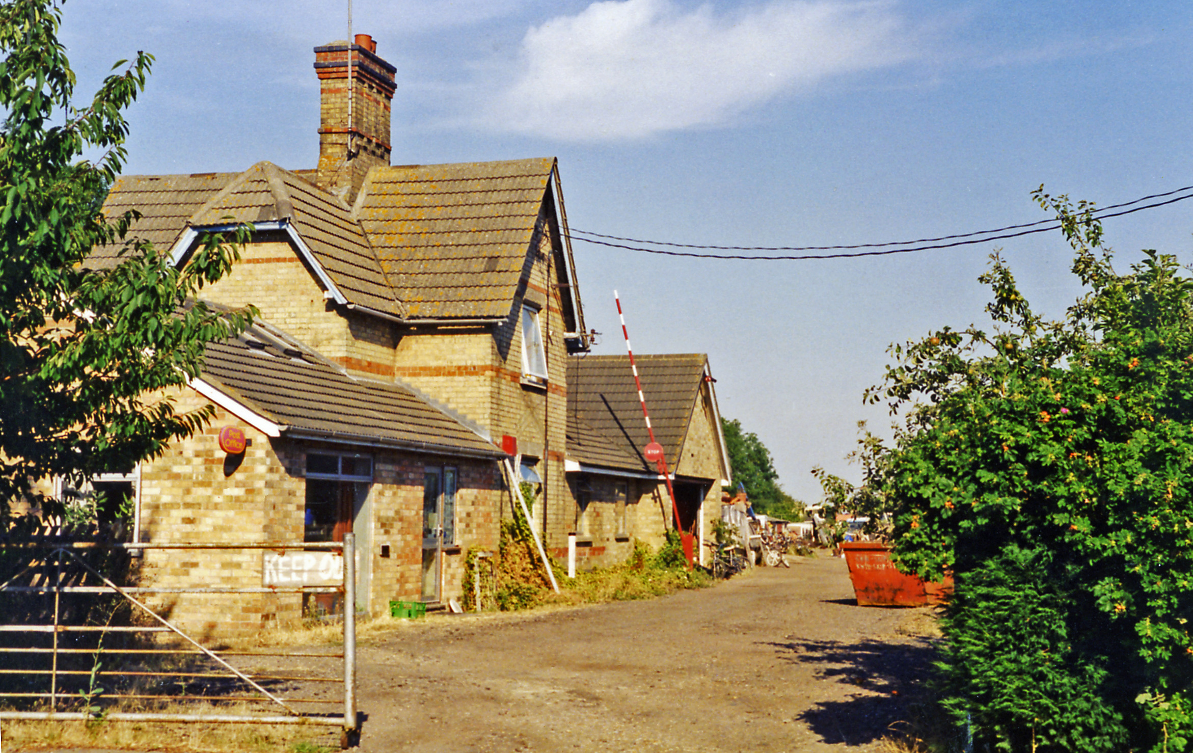
Grafham railway station
Grafham railway station was a railway station in Grafham, Cambridgeshire. The station and its line closed in 1959.In the 1990s the railway station buildings...

Easton, Cambridgeshire
Easton is a village and civil parish in Cambridgeshire, England. Easton lies approximately 6 miles (10 km) west of Huntingdon, between the villages of...
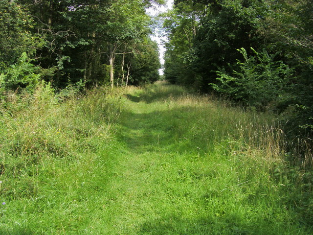
Brampton Wood
Brampton Wood is a 132.1-hectare (326-acre) biological Site of Special Scientific Interest in Cambridgeshire. The site is west of Brampton in Cambridgeshire...
Woolley, Cambridgeshire
Woolley is a hamlet and former civil parish, now in the parish of Barham and Woolley, in Cambridgeshire, England. Woolley lies approximately 5 miles (8...

Shepherd's Close
Shepherd's Close is a 1.2-hectare (3.0-acre) nature reserve south of Spaldwick in Cambridgeshire. It is managed by the Wildlife Trust for Bedfordshire...
Spaldwick
Spaldwick is a village and civil parish in Cambridgeshire, England. Spaldwick lies approximately 6 miles (10 km) west of Huntingdon, near Catworth. Spaldwick...
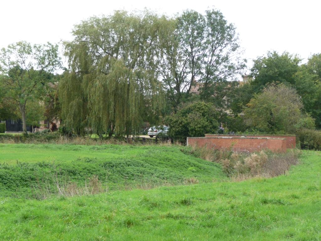
Brampton Meadow
Brampton Meadow is a one hectare biological Site of Special Scientific Interest north-west of Brampton in Cambridgeshire, England.The site has a rich variety...
Nearby Amenities
Located within 500m of 52.331832,-0.300595Have you been to Ellington?
Leave your review of Ellington below (or comments, questions and feedback).