Lud's Well Plantation

Wood, Forest in Lincolnshire West Lindsey

England

Lud's Well Plantation

Soilmarks near the threshold of former RAF Binbrook runway: aerial 2023 (1)
Soilmarks near the threshold of former RAF Binbrook runway: aerial 2023 (1) Credit: Chris

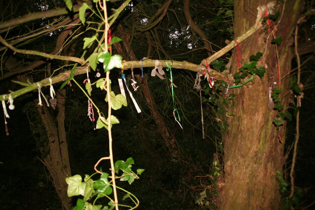
Lud's Well Plantation, located in Lincolnshire, is a picturesque wooded area that offers a serene retreat for nature enthusiasts. Spanning across a vast expanse of forest, the plantation boasts a diverse range of flora and fauna, making it a haven for wildlife and a popular destination for outdoor activities.

The plantation is characterized by its dense woodlands, consisting primarily of native tree species such as oak, ash, and beech. These majestic trees provide a stunning backdrop, with their sprawling canopies casting a dappled shade over the forest floor. Walking through the plantation, visitors are greeted by a rich tapestry of wildflowers, ferns, and mosses that flourish in the understory, adding to the area's enchanting ambiance.

Lud's Well Plantation is also home to a variety of wildlife. Birdwatchers can spot an array of species, including woodpeckers, owls, and warblers, while small mammals like rabbits, squirrels, and voles scurry about in the underbrush. The plantation's tranquil ponds and streams attract amphibians and insects, further enhancing its ecological diversity.

Visitors can explore the plantation's network of well-maintained footpaths, allowing them to immerse themselves in the beauty of nature. These paths offer opportunities for leisurely strolls, jogging, and even picnicking. Lud's Well Plantation also provides an ideal setting for photography and nature study, with its captivating landscapes and abundant wildlife.

Overall, Lud's Well Plantation in Lincolnshire is a captivating destination for those seeking solace in nature. Its lush woodlands, thriving wildlife, and well-designed recreational facilities make it a must-visit location for nature lovers and outdoor enthusiasts alike.

If you have any feedback on the listing, please let us know in the comments section below.

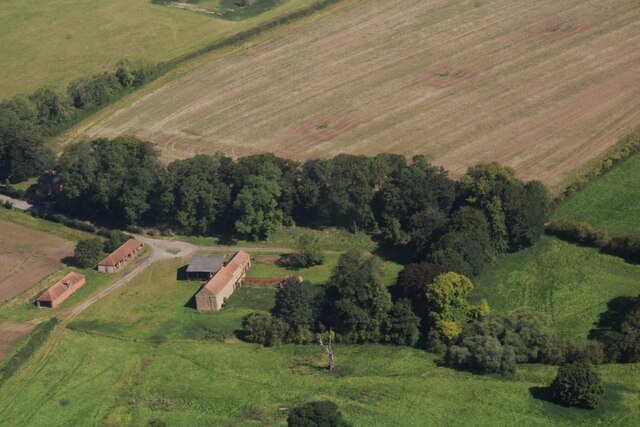
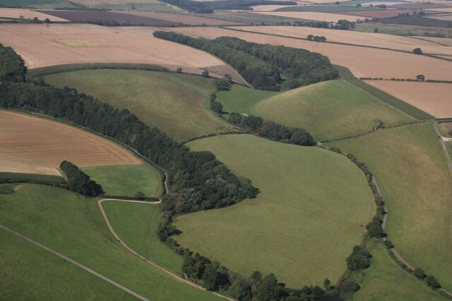
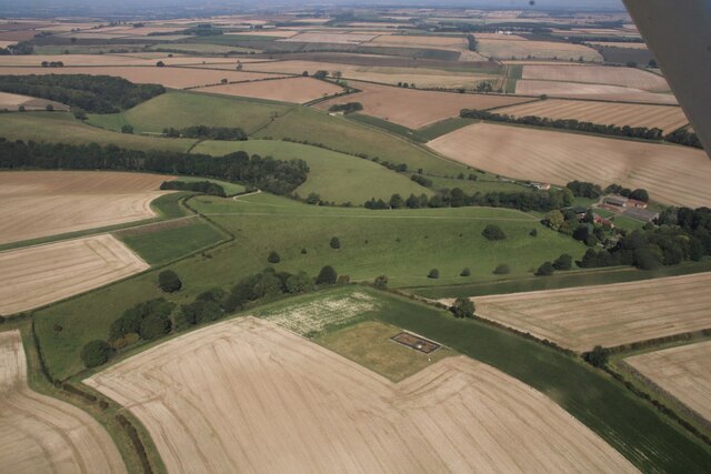
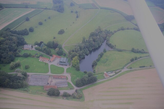
Lud's Well Plantation Images

Images are sourced within 2km of 53.428026/-0.23136638 or Grid Reference TF1793. Thanks to Geograph Open Source API. All images are credited.

Soilmarks near the threshold of former RAF Binbrook runway: aerial 2023 (1)
Soilmarks near the threshold of former RAF Binbrook runway: aerial 2023 (2)
Orford Priory Farm and earthworks: aerial 2023 Farm built on part of the site of Irford or Orford Priory, a house of Premonstratensian nuns founded in the mid 12th century and dissolved 1539.

See <span class="nowrap"><a title="https://www.heritagegateway.org.uk/Gateway/Results_Single.aspx?uid=MLI50709&resourceID=1006" rel="nofollow ugc noopener" href="https://www.heritagegateway.org.uk/Gateway/Results_Single.aspx?uid=MLI50709&resourceID=1006">Link</a><img style="margin-left:2px;" alt="External link" title="External link - shift click to open in new window" src="https://s1.geograph.org.uk/img/external.png" width="10" height="10"/></span>
Orford Priory Farm and earthworks: aerial 2023
Farm built on part of the site of Irford or Orford Priory, a house of Premonstratensian nuns founded in the mid 12th century and dissolved 1539. See LinkExternal link
Farm at Stainton le Vale: aerial 2023 South Farm.
Farm at Stainton le Vale: aerial 2023
South Farm.
Plantations at Stainton le Vale: aerial 2023 (1) Dales Bottom left, Half Moon centre, Cowdyke and Stainton Plantations top right.
Plantations at Stainton le Vale: aerial 2023 (1)
Dales Bottom left, Half Moon centre, Cowdyke and Stainton Plantations top right.
Stainton Hall, Stainton le Vale: aerial 2023
Earthworks on a field at Stainton le Vale: aerial 2023 (1)
Earthworks on a field at Stainton le Vale: aerial 2023 (2)
Stainton le Vale: aerial 2023
Votive offerings at Lud's Well, Stainton-le-Vale
The decline of the "tin tabernacle" in Stainton le Vale, 2023 (1) A former Primitive Methodist chapel, it can be seen in slightly happier times (2009) in <a href="https://www.geograph.org.uk/photo/1497384">TF1794 : The 'tin tabernacle'</a>. In 2015 it looked like <a href="https://www.geograph.org.uk/photo/4437141">TF1794 : The old village hall in Stainton-le-Vale</a>, when it seemed to have enjoyed a brief revival as a village hall.

Sadly, very few such buildings remain.
The decline of the "tin tabernacle" in Stainton le Vale, 2023 (1)
A former Primitive Methodist chapel, it can be seen in slightly happier times (2009) in TF1794 : The 'tin tabernacle'. In 2015 it looked like TF1794 : The old village hall in Stainton-le-Vale, when it seemed to have enjoyed a brief revival as a village hall. Sadly, very few such buildings remain.
The decline of the "tin tabernacle" in Stainton le Vale, 2023 (2) A former Primitive Methodist chapel, it can be seen in slightly happier times (2009) in <a href="https://www.geograph.org.uk/photo/1497384">TF1794 : The 'tin tabernacle'</a>. In 2015 it looked like <a href="https://www.geograph.org.uk/photo/4437141">TF1794 : The old village hall in Stainton-le-Vale</a>, when it seemed to have enjoyed a brief revival as a village hall.

Sadly, very few such buildings remain.
The decline of the "tin tabernacle" in Stainton le Vale, 2023 (2)
A former Primitive Methodist chapel, it can be seen in slightly happier times (2009) in TF1794 : The 'tin tabernacle'. In 2015 it looked like TF1794 : The old village hall in Stainton-le-Vale, when it seemed to have enjoyed a brief revival as a village hall. Sadly, very few such buildings remain.
Minor road, Stainton le Vale Heading south east.
Minor road, Stainton le Vale
Heading south east.
Fields near Stainton Hall
Minor road, Stainton le Vale  Heading south east downhill.
Minor road, Stainton le Vale
Heading south east downhill.
Cottages, Stainton Hall
Heading south east near Stainton Hall
Hillside farmland, Stainton le Vale
Show me another place!

Lud's Well Plantation is located at Grid Ref: TF1793 (Lat: 53.428026, Lng: -0.23136638)

Administrative County: Lincolnshire

District: West Lindsey

Police Authority: Lincolnshire

What 3 Words

///intervene.stone.until. Near Wold Newton, Lincolnshire

Nearby Locations

Lud's Well Plantation

Related Wikis

Stainton le Vale

Stainton le Vale is a village in the civil parish of Thoresway in the West Lindsey district of Lincolnshire, England. It is situated about 6 miles (9...

Orford Priory

Orford Priory was a priory of Premonstratensian canonesses in Stainton le Vale, Lincolnshire, England, and one of nine within the historical county. The...

Parts of Lindsey

The Parts of Lindsey are a traditional division of Lincolnshire, England, covering the northern part of the county. The Isle of Axholme, which is on the...

Kirmond le Mire

Kirmond le Mire is a small village and civil parish in the West Lindsey district of Lincolnshire, England. It is situated on the B1203 road, 6 miles (10...

RAF Binbrook

Royal Air Force Binbrook or RAF Binbrook is a former Royal Air Force station located near Binbrook, Lincolnshire, England. The old domestic site (married...

Thoresway

Thoresway is a village and civil parish in the West Lindsey district of Lincolnshire, England. It is 1.5 miles (2.4 km) west from the B1225 road, 4 miles...

Brookenby

Brookenby is a village and civil parish in the West Lindsey district of Lincolnshire, England. The village is situated 7 miles (11 km) north-east from...
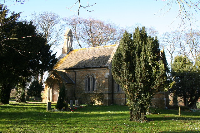
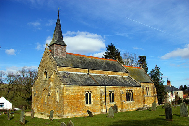
Brookenby Church

Brookenby Church is located in Brookenby, Lincolnshire, England. A member of the Church of England, it forms part of the Walesby group of churches, which...

Nearby Amenities

Located within 500m of 53.428026,-0.23136638
Power: pole
Lat/Long: 53.4249271/-0.2365752
Power: pole
Lat/Long: 53.4252495/-0.235585
Power: pole
Lat/Long: 53.4255718/-0.2345972
Power: pole
Lat/Long: 53.4258849/-0.2335951
Power: pole
Lat/Long: 53.4262186/-0.232587
Power: pole
Lat/Long: 53.4265446/-0.231609
Power: pole
Lat/Long: 53.4268158/-0.2308106
Power: pole
Lat/Long: 53.4271395/-0.2297786
Power: pole
Lat/Long: 53.4277845/-0.2277605
Power: pole
Lat/Long: 53.4281116/-0.2267186
Power: pole
Lat/Long: 53.4284396/-0.225701
Power: pole
Lat/Long: 53.4287491/-0.2247144
South Farm
Place: farm
Source: Bing
Lat/Long: 53.4293613/-0.2331987
The data included in this document is from www.openstreetmap.org. The data is made available under ODbL.

Have you been to Lud's Well Plantation?

Leave your review of Lud's Well Plantation below (or comments, questions and feedback).