Barnett Wood
Wood, Forest in Surrey Mole Valley
England
Barnett Wood

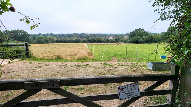
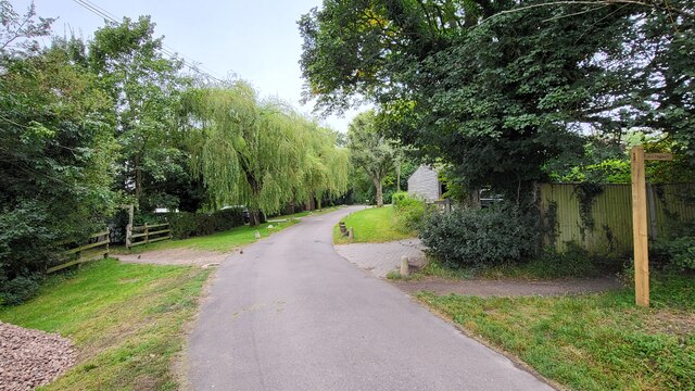
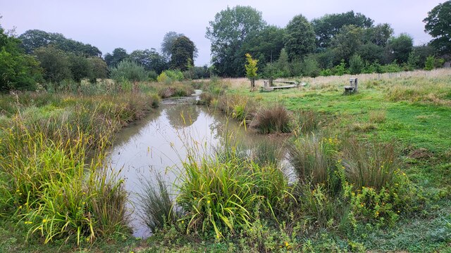
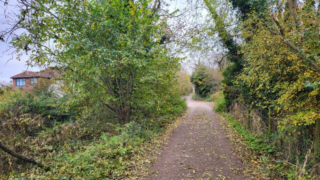
Barnett Wood, Surrey, located in the southeast of England, is a small woodland area spanning approximately 21 hectares. Situated near the village of Ashtead, it forms part of the larger Ashtead Common, which covers a total area of 200 hectares. Barnett Wood is a designated Site of Special Scientific Interest (SSSI) due to its ecological importance.
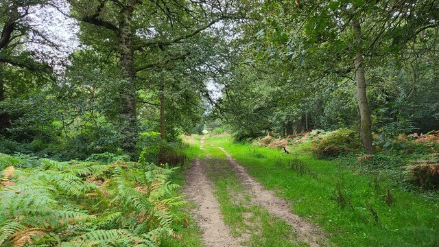
The woodland consists mainly of broadleaf trees, including oak, birch, and beech, creating a diverse and vibrant habitat for various species of flora and fauna. Bluebells carpet the forest floor during spring, adding a splash of color to the serene landscape. The wood is also home to numerous bird species, such as woodpeckers, tits, and thrushes, making it a popular spot for birdwatchers.
Barnett Wood offers a tranquil escape for visitors seeking a peaceful retreat in nature. There are several footpaths that wind their way through the woodland, providing opportunities for leisurely walks and exploration. The wood also connects with other parts of Ashtead Common, allowing for extended hikes through the surrounding countryside.
Managed by the Surrey Wildlife Trust, Barnett Wood is carefully conserved to maintain its natural beauty and biodiversity. The trust organizes educational events and activities for the public, aiming to raise awareness about the importance of woodland conservation.
Overall, Barnett Wood in Surrey is a picturesque woodland area, cherished for its ecological significance and cherished by locals and nature enthusiasts alike.
If you have any feedback on the listing, please let us know in the comments section below.
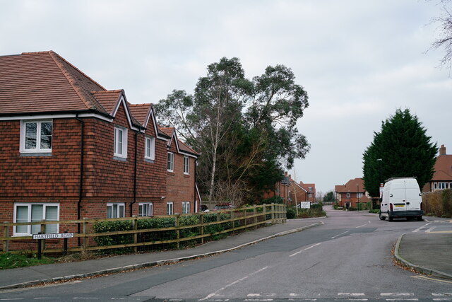
Barnett Wood Images
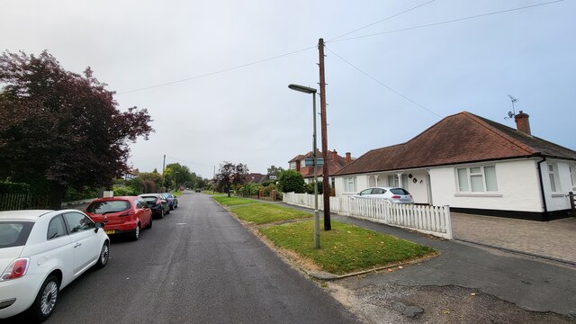
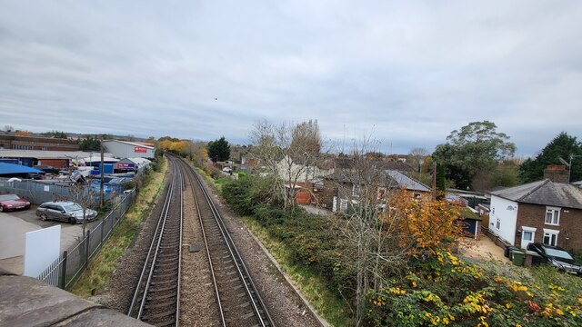
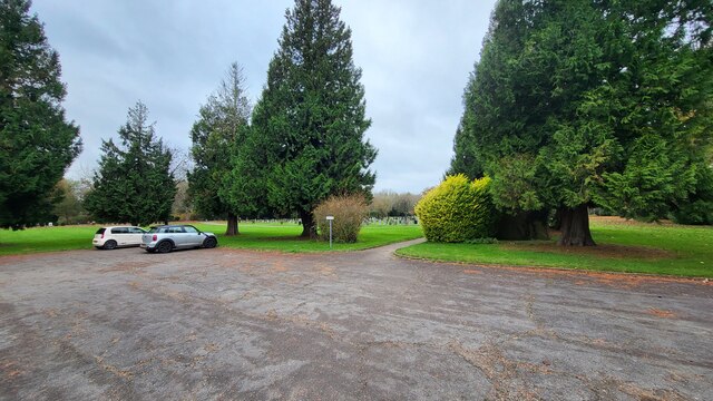
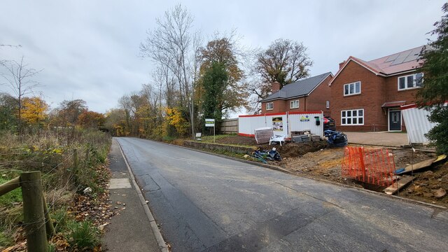
Images are sourced within 2km of 51.307865/-0.32202895 or Grid Reference TQ1757. Thanks to Geograph Open Source API. All images are credited.
Barnett Wood is located at Grid Ref: TQ1757 (Lat: 51.307865, Lng: -0.32202895)
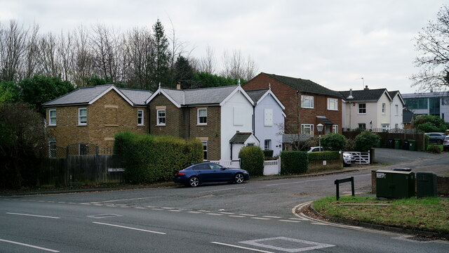
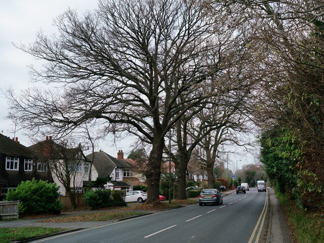
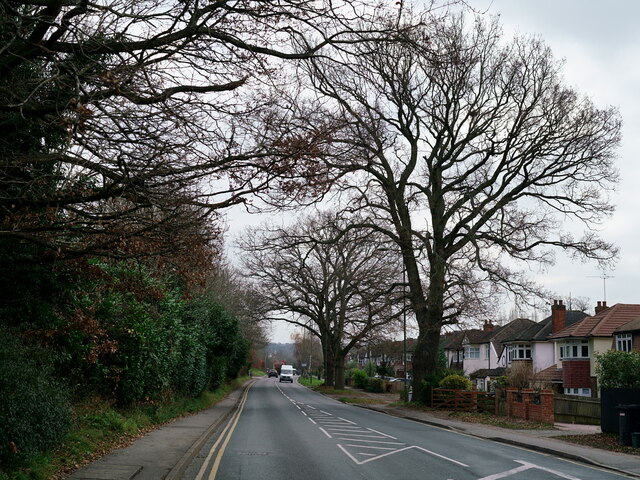
Administrative County: Surrey
District: Mole Valley
Police Authority: Surrey
What 3 Words
///golf.lush.remedy. Near Leatherhead, Surrey
Nearby Locations
Related Wikis

St Andrew's Catholic School
St Andrew's Catholic School is a Christian secondary school and sixth form college in Grange Road, Ottways Lane, Leatherhead, close to the town of Epsom...

Church of Our Lady and St Peter, Leatherhead
The Church of Our Lady and St Peter is a Roman Catholic church in Leatherhead, Surrey. It was founded as a local chapel during the First World War and...
Therfield School
Therfield School is a coeducational secondary school and sixth form located in Leatherhead, Surrey, England. Therfield School sixth form teaches courses...
Downsend School
Downsend School is a co-educational independent school for pupils aged between two and sixteen. In 2020, Downsend became a through-school, offering a three...
Parsons Mead School
Parsons Mead School was a private girls school founded by Jessie Elliston in Ashtead, Surrey, England, which existed from 1897 to 2006. == Founder == Jessie...

St John's School, Leatherhead
St John's School in Leatherhead, Surrey is a fully co-educational private school for pupils aged 11 to 18. The school offers day, weekly and flexible boarding...
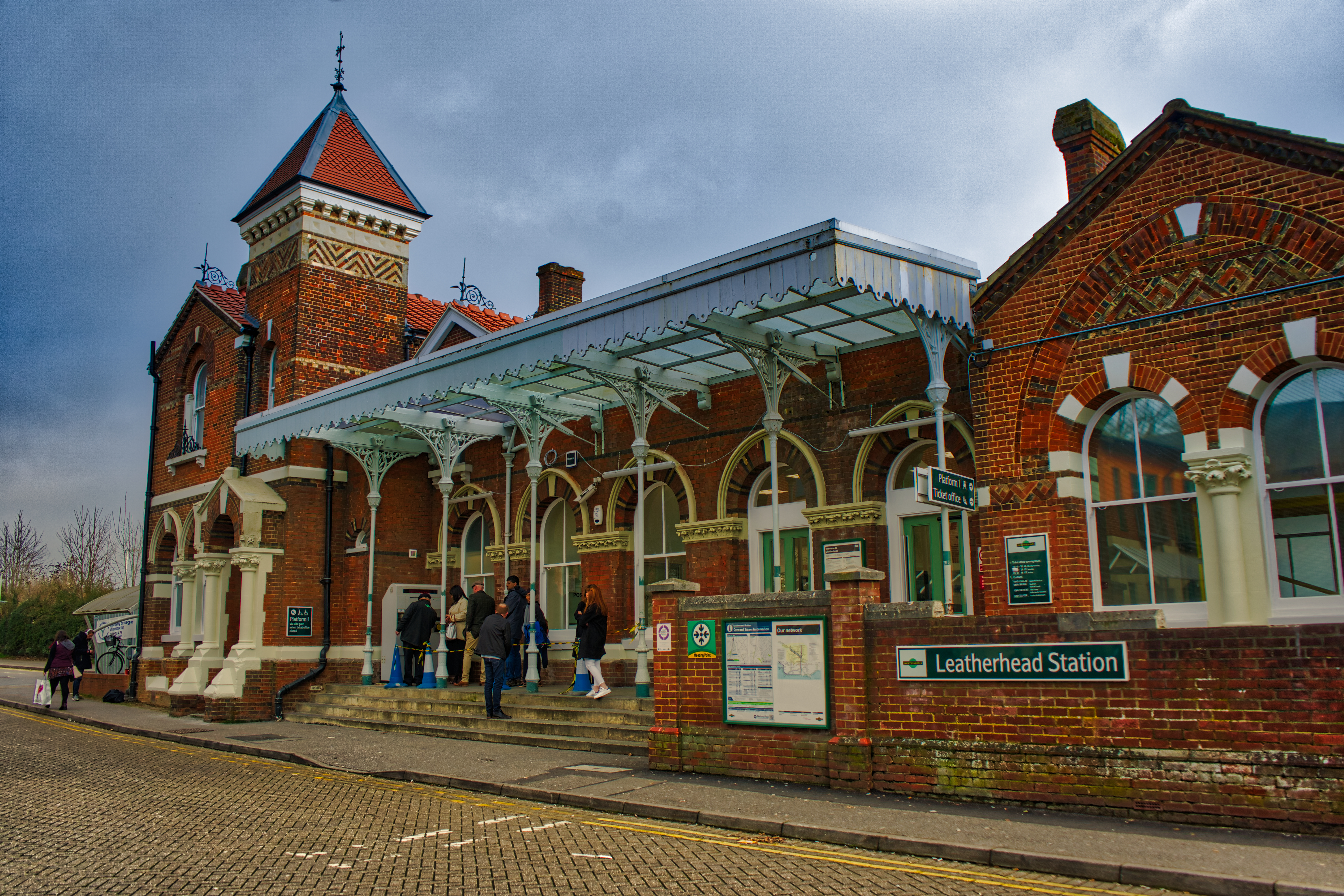
Leatherhead railway station
Leatherhead railway station is in Leatherhead, Surrey, England. It is managed by Southern, with services provided by them and South Western Railway. It...

Wesley House, Leatherhead
Wesley House, formerly the Council Offices, is a former municipal building on Bull Hill, Leatherhead, Surrey, England. The building, which was the headquarters...
Nearby Amenities
Located within 500m of 51.307865,-0.32202895Have you been to Barnett Wood?
Leave your review of Barnett Wood below (or comments, questions and feedback).