Broggery Plantation

Wood, Forest in Lincolnshire West Lindsey

England

Broggery Plantation

Woods and farmland east of Tealby: aerial 2023
Woods and farmland east of Tealby: aerial 2023 Credit: Chris

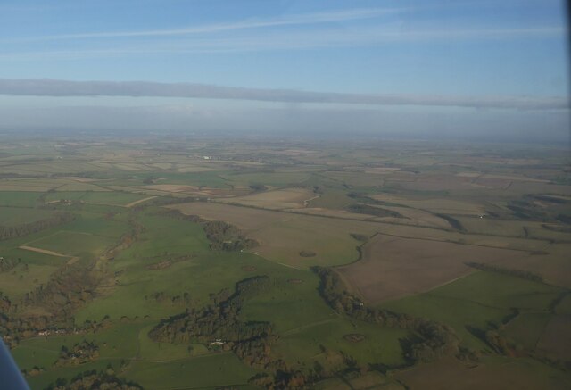
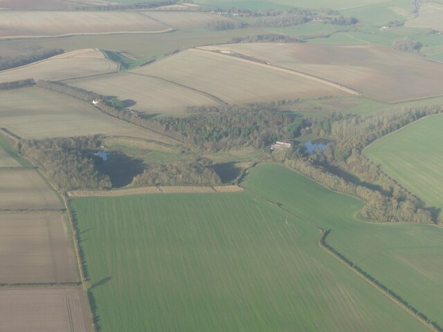
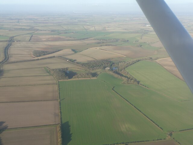
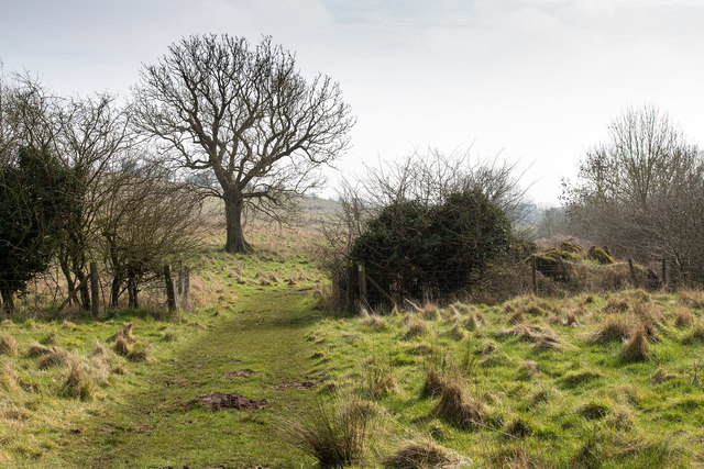
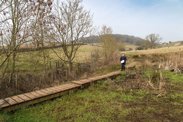
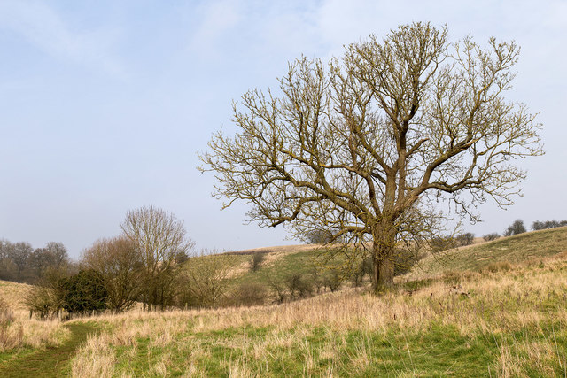
Broggery Plantation, located in Lincolnshire, England, is a picturesque woodland area known for its beautiful and diverse range of trees. This enchanting forest is a haven for nature enthusiasts and offers a serene escape from the hustle and bustle of city life.

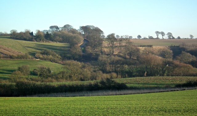
Covering an expansive area, Broggery Plantation is home to a wide variety of tree species, including oak, beech, birch, and pine. The plantation's well-maintained trails wind through the woodland, allowing visitors to explore and appreciate the natural beauty that surrounds them.

The forest is teeming with wildlife, making it an ideal destination for birdwatchers and animal lovers. Visitors may spot various bird species, including woodpeckers, owls, and songbirds, as well as small mammals such as squirrels and rabbits.

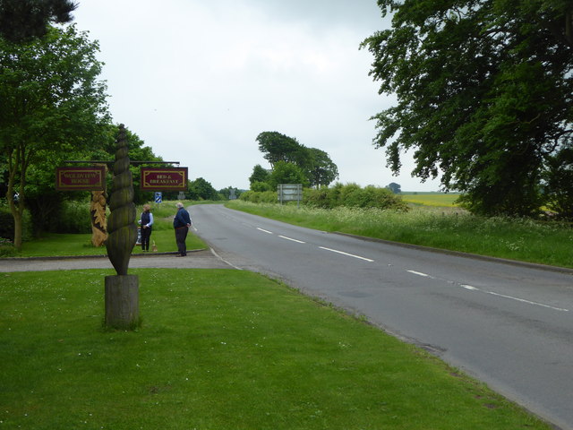
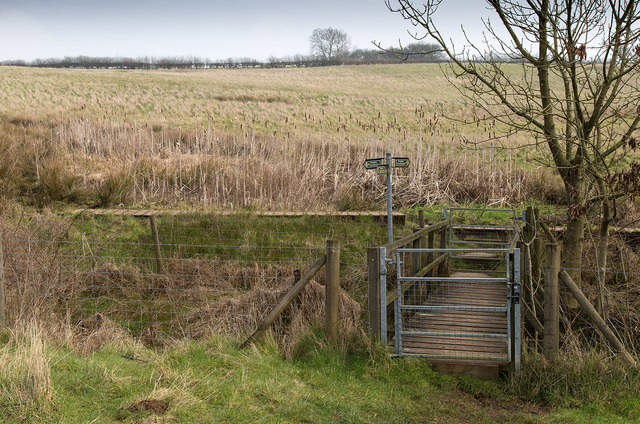
Broggery Plantation is a popular destination for outdoor activities such as hiking, jogging, and cycling, with its well-marked trails providing a pleasant and accessible experience for all fitness levels. The plantation also offers designated picnic areas, allowing visitors to relax and enjoy the peaceful ambiance while surrounded by the sights and sounds of nature.

Throughout the year, the plantation hosts various events and educational programs for both adults and children, promoting environmental awareness and conservation. These activities range from guided nature walks and workshops on tree identification to wildlife photography exhibitions.

Overall, Broggery Plantation in Lincolnshire is a captivating woodland haven, offering a tranquil retreat for those seeking to reconnect with nature and explore the diverse ecosystems found within this charming forest.

If you have any feedback on the listing, please let us know in the comments section below.

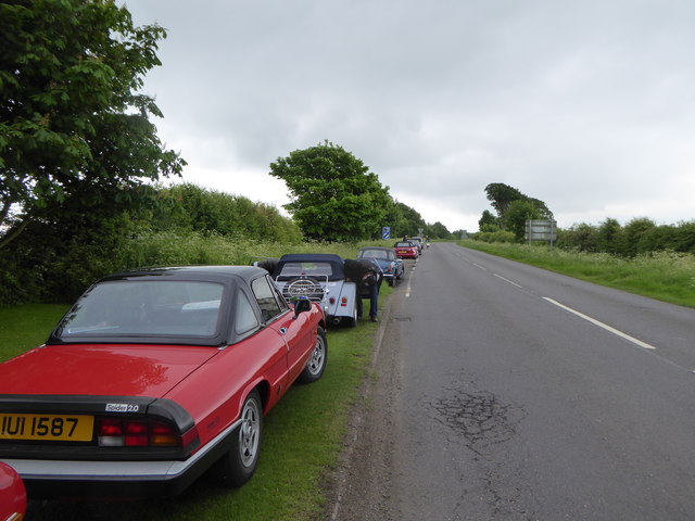
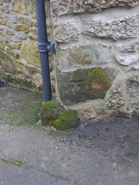
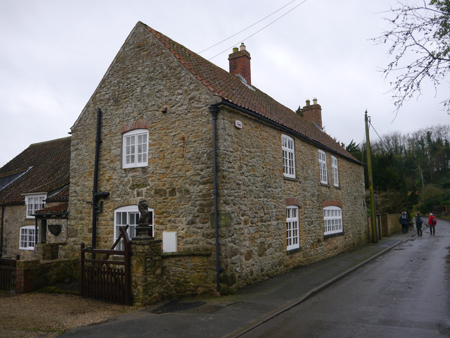
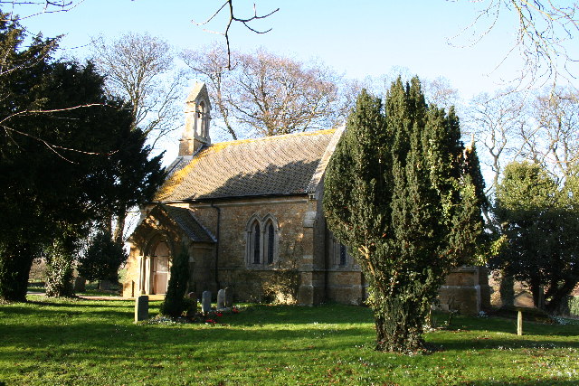
Broggery Plantation Images

Images are sourced within 2km of 53.409654/-0.2406894 or Grid Reference TF1791. Thanks to Geograph Open Source API. All images are credited.

Woods and farmland east of Tealby: aerial 2023
Kirmond Top: aerial 2023 (1)
Kirmond Top: aerial 2023 (2)
Across 3 circular mounds and the Viking Way SE of Tealby: aerial 2023 The mounds seem to be of geological origin.
Across 3 circular mounds and the Viking Way SE of Tealby: aerial 2023
The mounds seem to be of geological origin.
Woods, a watercourse and two mounds south of Tealby: aerial 2023 (1)
Woods, a watercourse and two mounds south of Tealby: aerial 2023 (2)
Viking Way to Tealby: aerial 2017 Path doglegs as far as the linear woods then direct.

Continues in <a href="https://www.geograph.org.uk/gridref/TF1690">TF1690</a> then into Tealby <a href="https://www.geograph.org.uk/gridref/TF1590">TF1590</a>.
Viking Way to Tealby: aerial 2017
Path doglegs as far as the linear woods then direct. Continues in TF1690 then into Tealby TF1590.
The entrance to Wold View House A tearoom on the B1225 near Tealby.
The entrance to Wold View House
A tearoom on the B1225 near Tealby.
Field next to Wold View House
Classic cars parked on the verge of the B1225 near Wold View House
Cut Mark: Tealby, Tealby Vale Farm A cut bench mark is on the north angle of the farmhouse.  See <a title="https://www.geograph.org.uk/photo/4758086" href="https://www.geograph.org.uk/photo/4758086">Link</a> for a wider view and <span class="nowrap"><a title="http://www.bench-marks.org.uk/bm71959" rel="nofollow ugc noopener" href="http://www.bench-marks.org.uk/bm71959">Link</a><img style="margin-left:2px;" alt="External link" title="External link - shift click to open in new window" src="https://s1.geograph.org.uk/img/external.png" width="10" height="10"/></span> for details of the mark.
Cut Mark: Tealby, Tealby Vale Farm
A cut bench mark is on the north angle of the farmhouse. See Link for a wider view and LinkExternal link for details of the mark.
Tealby Vale Farm, Tealby The nearest angle carries a cut bench mark.  See <a title="https://www.geograph.org.uk/photo/4758085" href="https://www.geograph.org.uk/photo/4758085">Link</a> for a close-up and <span class="nowrap"><a title="http://www.bench-marks.org.uk/bm71959" rel="nofollow ugc noopener" href="http://www.bench-marks.org.uk/bm71959">Link</a><img style="margin-left:2px;" alt="External link" title="External link - shift click to open in new window" src="https://s1.geograph.org.uk/img/external.png" width="10" height="10"/></span> for details of the mark.
Tealby Vale Farm, Tealby
The nearest angle carries a cut bench mark. See Link for a close-up and LinkExternal link for details of the mark.
The Viking Way View SSE along the Viking Way.
The Viking Way
View SSE along the Viking Way.
Footpath junction on the Viking Way The Viking Way footpath along the line of the duck boards, connects to the footpath to Catskin Lane off to the left.
Duck boards are provided at various points along the Viking Way where the going is particularly wet and boggy.
Footpath junction on the Viking Way
The Viking Way footpath along the line of the duck boards, connects to the footpath to Catskin Lane off to the left. Duck boards are provided at various points along the Viking Way where the going is particularly wet and boggy.
Tree by the Viking Way Looking NNW along the Viking Way.
Tree by the Viking Way
Looking NNW along the Viking Way.
Footpath from Catskin Lane meets Viking Way The footpath from Catskin Lane joins the long distance footpath, the Viking Way, which is running on raised duck boards across the boggy ground ahead.
Footpath from Catskin Lane meets Viking Way
The footpath from Catskin Lane joins the long distance footpath, the Viking Way, which is running on raised duck boards across the boggy ground ahead.
The ford at Tealby Summer rain has made this a damp but colourful scene.
The ford at Tealby
Summer rain has made this a damp but colourful scene.
Papermill Lane from near Bully Hill Farm (2) Iconic beech trees line the route.
Extends to right into <a href="https://www.geograph.org.uk/gridref/TF1691">TF1691</a>.
Papermill Lane from near Bully Hill Farm (2)
Iconic beech trees line the route. Extends to right into TF1691.
Show me another place!

Broggery Plantation is located at Grid Ref: TF1791 (Lat: 53.409654, Lng: -0.2406894)

Administrative County: Lincolnshire

District: West Lindsey

Police Authority: Lincolnshire

What 3 Words

///booklets.modest.eggs. Near Market Rasen, Lincolnshire

Related Wikis

Tealby

Tealby is a village and civil parish in the West Lindsey district of Lincolnshire, England, situated on the edge of the Lincolnshire Wolds and 3 miles...

Kirmond le Mire

Kirmond le Mire is a small village and civil parish in the West Lindsey district of Lincolnshire, England. It is situated on the B1203 road, 6 miles (10...

Stainton le Vale

Stainton le Vale is a village in the civil parish of Thoresway in the West Lindsey district of Lincolnshire, England. It is situated about 6 miles (9...

Parts of Lindsey

The Parts of Lindsey are a traditional division of Lincolnshire, England, covering the northern part of the county. The Isle of Axholme, which is on the...

Orford Priory

Orford Priory was a priory of Premonstratensian canonesses in Stainton le Vale, Lincolnshire, England, and one of nine within the historical county. The...

Ludford, Lincolnshire

Ludford is a village and civil parish in the East Lindsey district of Lincolnshire, England. The parish is composed of the villages of Ludford Magna and...

North Willingham

North Willingham is a village and civil parish in the West Lindsey district of Lincolnshire, England. The population of the civil parish (including Sixhills...

Walesby, Lincolnshire

Walesby is a village and civil parish in the West Lindsey district of Lincolnshire, England. The population of the civil parish at the 2011 census was...

Nearby Amenities

Located within 500m of 53.409654,-0.2406894
Bus Stop
Bully Hill Crossroads
Naptan AtcoCode: 270000007945
Naptan Bearing: E
Naptan CommonName: Bully Hill Crossroads
Naptan Indicator: E - bound
Naptan Landmark: Bully Hill Crossroads
Naptan NaptanCode: lingmjwd
Naptan Street: Kirmond Road
Naptan Verified: no
Source: naptan_import
Lat/Long: 53.4123773/-0.2359167
Bus Stop
Bully Hill Crossroads
Naptan AtcoCode: 270000007946
Naptan Bearing: W
Naptan CommonName: Bully Hill Crossroads
Naptan Indicator: W - bound
Naptan Landmark: Bully Hill Crossroads
Naptan NaptanCode: lingmjwg
Naptan Street: Kirmond Road
Naptan Verified: no
Source: naptan_import
Lat/Long: 53.412244/-0.2360276
Bully Hill
Place: locality
Source: Bing
Lat/Long: 53.4136477/-0.2418731
The data included in this document is from www.openstreetmap.org. The data is made available under ODbL.

Have you been to Broggery Plantation?

Leave your review of Broggery Plantation below (or comments, questions and feedback).