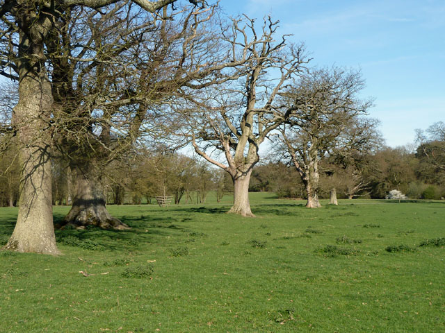
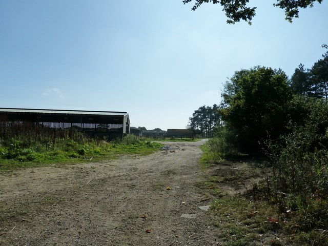
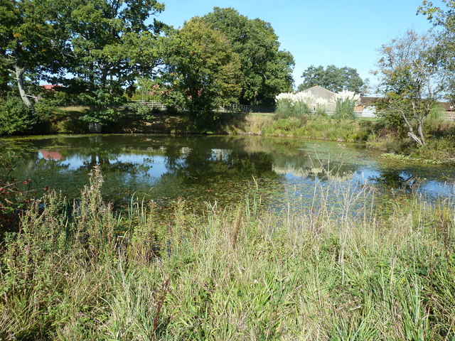
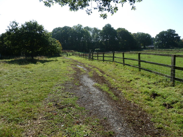
Coate's Wood
Wood, Forest in Sussex Horsham
England
Coate's Wood

The requested URL returned error: 429 Too Many Requests
If you have any feedback on the listing, please let us know in the comments section below.
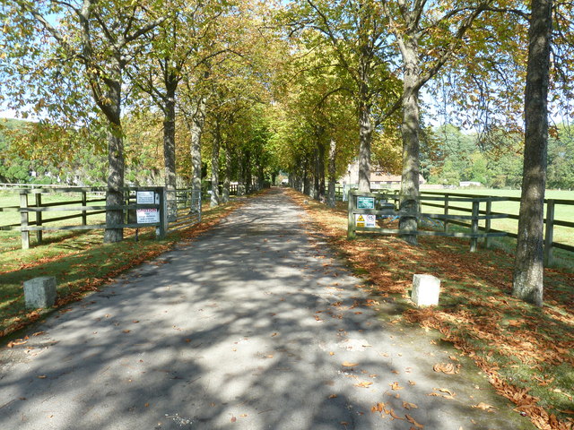
Coate's Wood Images
Images are sourced within 2km of 50.996839/-0.34032656 or Grid Reference TQ1623. Thanks to Geograph Open Source API. All images are credited.


Coate's Wood is located at Grid Ref: TQ1623 (Lat: 50.996839, Lng: -0.34032656)
Administrative County: West Sussex
District: Horsham
Police Authority: Sussex
What 3 Words
///earliest.jaunts.difficult. Near Southwater, West Sussex
Nearby Locations
Related Wikis

Copsale
Copsale is a hamlet in the civil parish of Nuthurst, and the Horsham District of West Sussex, England. It lies on the Southwater to Maplehurst road 3.5...

West Grinstead railway station
West Grinstead was a railway station on the Steyning Line which served the village of West Grinstead. It had a goods yard with a cattle loading bay and...

Dragon's Green
Dragon's Green is a hamlet in the civil parish of Shipley, and the Horsham district of West Sussex, England. The hamlet is 5 miles (8 km) south from the...

Knepp Castle
The medieval Knepp Castle (sometimes referred to as 'Old Knepp Castle', to distinguish it from the nearby 19th-century mansion) is to the west of the village...
Nearby Amenities
Located within 500m of 50.996839,-0.34032656Have you been to Coate's Wood?
Leave your review of Coate's Wood below (or comments, questions and feedback).