Great Alder Wood

Wood, Forest in Sussex Horsham

England

Great Alder Wood

Church Street Steyning: West Sussex The picture was taken from the intersection of Horsham Road and Church Street looking north east. This street is situated in the south eastern section of the grid square.
Church Street Steyning: West Sussex Credit: Pam Brophy

Great Alder Wood is a stunning forest located in Sussex, England. Covering an area of approximately 500 acres, it is known for its picturesque beauty and rich biodiversity. The wood is primarily composed of alder trees, which dominate the landscape with their tall trunks and lush green foliage.

The forest is home to a diverse range of flora and fauna, making it an ideal destination for nature enthusiasts and wildlife lovers. Various species of birds can be spotted here, including the Eurasian jay, the great spotted woodpecker, and the common buzzard. Additionally, the wood provides a habitat for mammals such as squirrels, badgers, and deer.

The forest boasts a network of well-maintained walking trails, allowing visitors to explore its natural wonders at their own pace. These trails wind through the dense woodland, providing glimpses of enchanting wildflowers, vibrant fungi, and ancient tree stumps. The peaceful atmosphere and fresh, earthy scent of the wood create a serene environment that offers a respite from the hustle and bustle of everyday life.

Great Alder Wood is not only a haven for nature enthusiasts but also plays a vital role in preserving the local ecosystem. The alder trees contribute to the restoration and conservation of wetland habitats by stabilizing the soil and providing shelter for a variety of aquatic plants and animals.

Visiting Great Alder Wood offers a unique opportunity to immerse oneself in the beauty of nature while appreciating the importance of biodiversity conservation. Whether it is a leisurely stroll, birdwatching, or simply enjoying the tranquility, this forest provides an unforgettable experience for all who venture within its borders.

If you have any feedback on the listing, please let us know in the comments section below.

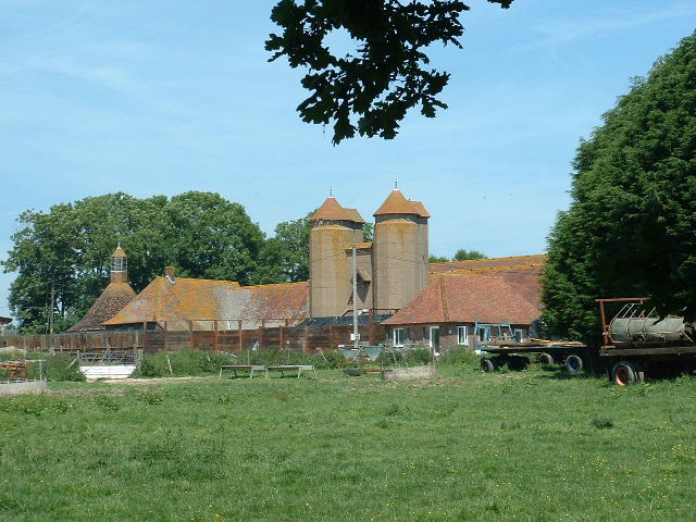
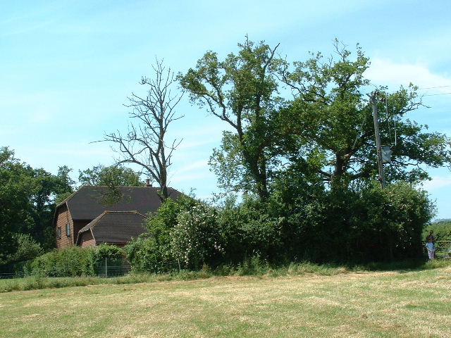
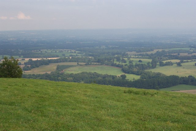
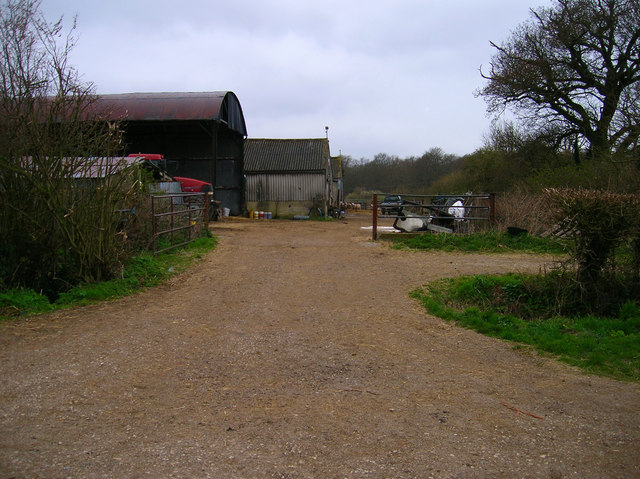
Great Alder Wood Images

Images are sourced within 2km of 50.906286/-0.3446155 or Grid Reference TQ1613. Thanks to Geograph Open Source API. All images are credited.

Church Street Steyning: West Sussex The picture was taken from the intersection of Horsham Road and Church Street looking north east. This street is situated in the south eastern section of the grid square.
Church Street Steyning: West Sussex
The picture was taken from the intersection of Horsham Road and Church Street looking north east. This street is situated in the south eastern section of the grid square.
Saxon Cottage: Steyning (West Sussex) This charming cottage is a National Trust holiday cottage. It is situated in Church Street in the south eastern section of the grid square. Originally, all the houses in this village resembled this style of building. In later times it became unfashionable to live in timber frame buildings and owners put brick and mortar facades on.
Saxon Cottage: Steyning (West Sussex)
This charming cottage is a National Trust holiday cottage. It is situated in Church Street in the south eastern section of the grid square. Originally, all the houses in this village resembled this style of building. In later times it became unfashionable to live in timber frame buildings and owners put brick and mortar facades on.
Thoughtful Reflection: Steyning (West Sussex) The church is situated in the south eastern section of the grid square.
Thoughtful Reflection: Steyning (West Sussex)
The church is situated in the south eastern section of the grid square.
Alderwood Ponds Private fishing, at NE corner of square close to B2135.
Alderwood Ponds
Private fishing, at NE corner of square close to B2135.
Chanctondown House In NW corner of square close to B2135.
Chanctondown House
In NW corner of square close to B2135.
Wappingthorn Farm With its impressive barns and towers the farm is unmissable, close to the centre of the square.
Wappingthorn Farm
With its impressive barns and towers the farm is unmissable, close to the centre of the square.
Nutwood House and meadows Towards E of square where footpath crosses fields to reach road.
Nutwood House and meadows
Towards E of square where footpath crosses fields to reach road.
Bushovel Farm, Wiston Formerly called Bush Hovel Farm, it is seen slightly left of centre in this picture taken from Chanctonbury Ring. What is interesting is the circular shape of the field to the right of the farmhouse and buildings (with an extension on the right). This betrays it as having been an early clearing in the vast, heavily wooded Sussex Weald from which the farm was created. There are several farms along the foot of the downs here. At first sight it appears not to be the best situation for a farm, the southern sun being blocked by the bulk of the downs for much of the year (although not at Bushovel), but it is along this line that the chalk of the downs gives way to the gault clay of the Weald and it is here that numerous springs rise, providing a plentiful supply of water.
Bushovel Farm, Wiston
Formerly called Bush Hovel Farm, it is seen slightly left of centre in this picture taken from Chanctonbury Ring. What is interesting is the circular shape of the field to the right of the farmhouse and buildings (with an extension on the right). This betrays it as having been an early clearing in the vast, heavily wooded Sussex Weald from which the farm was created. There are several farms along the foot of the downs here. At first sight it appears not to be the best situation for a farm, the southern sun being blocked by the bulk of the downs for much of the year (although not at Bushovel), but it is along this line that the chalk of the downs gives way to the gault clay of the Weald and it is here that numerous springs rise, providing a plentiful supply of water.
Great Barn Farm, Wiston The farm, which lies at the northern foot of the South Downs, close to Chanctonbury Ring, is named after the substantial barn which is seen through the trees, under repair, in this picture. The farm sits alongside an old east-west track which was, throughout the Middle Ages and until 1778, the main road between Steyning and Washington. It was superseded when a road roughly along the line of the modern Steyning-Washington road further north was improved and partly realigned, and the southern road was closed to traffic. This coincided with the period when Wiston Park was enlarged and the village moved from its old location close to Wiston House to its present location further north. Taken from Chanctonbury Ring Road at TQ145124 looking east.
Great Barn Farm, Wiston
The farm, which lies at the northern foot of the South Downs, close to Chanctonbury Ring, is named after the substantial barn which is seen through the trees, under repair, in this picture. The farm sits alongside an old east-west track which was, throughout the Middle Ages and until 1778, the main road between Steyning and Washington. It was superseded when a road roughly along the line of the modern Steyning-Washington road further north was improved and partly realigned, and the southern road was closed to traffic. This coincided with the period when Wiston Park was enlarged and the village moved from its old location close to Wiston House to its present location further north. Taken from Chanctonbury Ring Road at TQ145124 looking east.
Mouse Lane The old route to Washington following the base of the South Downs, passing Chanctonbury Ring on the way.
Mouse Lane
The old route to Washington following the base of the South Downs, passing Chanctonbury Ring on the way.
Field from Mouse Lane Looking towards an unnamed peak on the South Downs.
Field from Mouse Lane
Looking towards an unnamed peak on the South Downs.
First World War memorial, Mouse Lane Written by John Stanley Purvis whilst in the trenches and an ode to Mouse Lane which he remembered whilst waiting to go over the top. Purvis was invalided out of the war and died in 1968. Much of the surrounding area was used as an army camp during the First World War. See <span class="nowrap"><a title="http://freepages.military.rootsweb.com/~thinblueline/page159.html" rel="nofollow ugc noopener" href="http://freepages.military.rootsweb.com/~thinblueline/page159.html">Link</a><img style="margin-left:2px;" alt="External link" title="External link - shift click to open in new window" src="https://s1.geograph.org.uk/img/external.png" width="10" height="10"/></span> .
First World War memorial, Mouse Lane
Written by John Stanley Purvis whilst in the trenches and an ode to Mouse Lane which he remembered whilst waiting to go over the top. Purvis was invalided out of the war and died in 1968. Much of the surrounding area was used as an army camp during the First World War. See LinkExternal link .
Pond near Round Robin Situated on the northern edge of the grid square.
Pond near Round Robin
Situated on the northern edge of the grid square.
Wiston House Taken from the footpath that runs along the southern edge of this estate. The manor's church can be seen behind the tree to the right. The house was started in 1575 and completed in the 1620s and remodelled during the 18th century. Since 1951 it has been leased to the Foreign Office who use it to hold conferences.
Wiston House
Taken from the footpath that runs along the southern edge of this estate. The manor's church can be seen behind the tree to the right. The house was started in 1575 and completed in the 1620s and remodelled during the 18th century. Since 1951 it has been leased to the Foreign Office who use it to hold conferences.
Footbridge, Wiston House The lane underneath was the main Washington-Steyning highway until the current A283 was turnpiked in 1778. This bridge was built to avoid the road connecting Wiston House with its grounds to the south of the road.
Footbridge, Wiston House
The lane underneath was the main Washington-Steyning highway until the current A283 was turnpiked in 1778. This bridge was built to avoid the road connecting Wiston House with its grounds to the south of the road.
Colour amid the gloom, Spithandle Copse Amongst the churned up mudbath that was Spithandle Lane was the odd bloom of spring flowers and shoots which make a lovely contrast to the murky browns elsewhere
Colour amid the gloom, Spithandle Copse
Amongst the churned up mudbath that was Spithandle Lane was the odd bloom of spring flowers and shoots which make a lovely contrast to the murky browns elsewhere
Spithandle Lane Spithandle Copse to the right, Spithandle Rough to the left. The road at the bottom left heads to College Wood Farm. The lane itself links Wiston to Horsebridge Common.
Spithandle Lane
Spithandle Copse to the right, Spithandle Rough to the left. The road at the bottom left heads to College Wood Farm. The lane itself links Wiston to Horsebridge Common.
Outbuildings, Guessgate Farm Taken from the footpath that links Spithandle Lane to the A283.
Outbuildings, Guessgate Farm
Taken from the footpath that links Spithandle Lane to the A283.
Show me another place!

Great Alder Wood is located at Grid Ref: TQ1613 (Lat: 50.906286, Lng: -0.3446155)

Administrative County: West Sussex

District: Horsham

Police Authority: Sussex

What 3 Words

///including.durations.scatter. Near Steyning, West Sussex

Related Wikis

Wiston House

Wiston House is a 16th-century Grade I listed building set in the South Downs National Park on the south coast of England, surrounded by over 6,000 acres...

South Downs National Park

The South Downs National Park is England's newest national park, designated on 31 March 2010. The park, covering an area of 1,627 square kilometres (628...

Steyning Grammar School

Steyning Grammar School is a coeducational day and boarding, senior school and sixth form, located in Steyning, West Sussex, England. The school has two...

Steyning Town F.C.

Steyning Town Community Football Club is a football club based in Steyning, West Sussex, England. The club is an FA Charter Standard community club,...

Nearby Amenities

Located within 500m of 50.906286,-0.3446155
Bus Stop
Ham Farm
Naptan AtcoCode: 4400HR0216
Naptan Bearing: E
Naptan CommonName: Ham Farm
Naptan Indicator: o/s Ham Farm
Naptan Landmark: Ham Farm
Naptan NaptanCode: wsxatpwt
Naptan Street: Washington Road
Naptan Verified: no
Source: naptan_import
Lat/Long: 50.903982/-0.3471343
Bicycle Parking
Lat/Long: 50.9030942/-0.3482075
The data included in this document is from www.openstreetmap.org. The data is made available under ODbL.

Have you been to Great Alder Wood?

Leave your review of Great Alder Wood below (or comments, questions and feedback).