Cherrytree Rough
Wood, Forest in Sussex Horsham
England
Cherrytree Rough
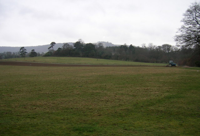
Cherrytree Rough is a picturesque woodland located in Sussex, England. Spanning over a vast area, this woodland is a natural treasure with an enchanting ambiance. As its name suggests, the forest is known for its abundance of cherry trees, which bloom in vibrant shades of pink during the spring, creating a breathtaking sight for visitors.
The woodland is characterized by its dense canopy of towering trees, providing a haven for various wildlife species. The forest floor is covered with a lush carpet of moss and ferns, creating a serene and peaceful atmosphere. The diverse range of tree species includes oak, beech, and ash, which adds to the charm and biodiversity of the forest.
Cherrytree Rough is a popular destination for nature lovers, hikers, and photographers. The well-maintained trails wind through the woodland, allowing visitors to explore and immerse themselves in the tranquil surroundings. The forest provides a habitat for a variety of wildlife, including deer, squirrels, and a wide array of bird species, making it a haven for birdwatching enthusiasts.
In addition to its natural beauty, Cherrytree Rough also offers recreational activities such as camping and picnicking. The forest has designated camping areas, allowing visitors to spend a night under the starry sky, surrounded by the soothing sounds of nature.
Overall, Cherrytree Rough is a captivating woodland that offers a serene escape from the hustle and bustle of everyday life. With its diverse flora and fauna, stunning cherry blossoms, and a range of outdoor activities, it is a must-visit destination for those seeking solace in nature.
If you have any feedback on the listing, please let us know in the comments section below.
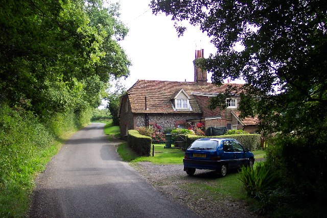
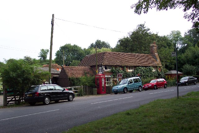
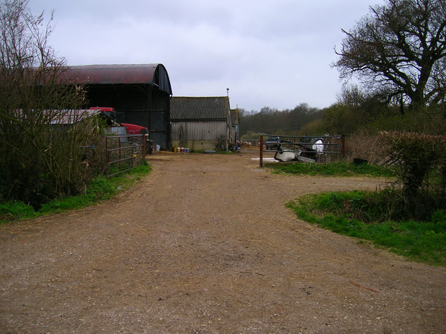
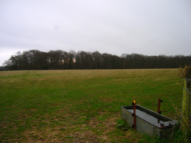
Cherrytree Rough Images
Images are sourced within 2km of 50.910929/-0.34796432 or Grid Reference TQ1613. Thanks to Geograph Open Source API. All images are credited.


Cherrytree Rough is located at Grid Ref: TQ1613 (Lat: 50.910929, Lng: -0.34796432)
Administrative County: West Sussex
District: Horsham
Police Authority: Sussex
What 3 Words
///sting.landscape.code. Near Ashurst, West Sussex
Nearby Locations
Related Wikis

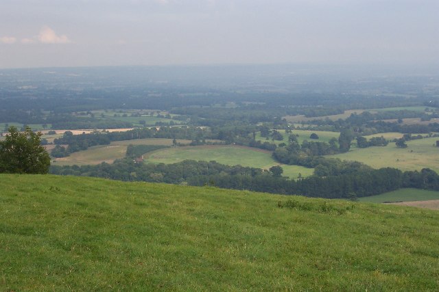
South Downs National Park
The South Downs National Park is England's newest national park, designated on 31 March 2010. The park, covering an area of 1,627 square kilometres (628...
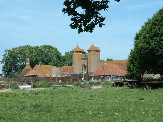
Wiston House
Wiston House is a 16th-century Grade I listed building set in the South Downs National Park on the south coast of England, surrounded by over 6,000 acres...

Buncton
Buncton () is a small village in the Horsham District of West Sussex, England, part of the civil parish of Wiston 0.5 miles (0.80 km) north. It lies to...
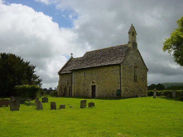
All Saints Church, Buncton
All Saints Church is an Anglican church in the hamlet of Buncton in the district of Horsham, one of seven local government districts in the English county...
Nearby Amenities
Located within 500m of 50.910929,-0.34796432Have you been to Cherrytree Rough?
Leave your review of Cherrytree Rough below (or comments, questions and feedback).