Coachroad Clump
Wood, Forest in Sussex Horsham
England
Coachroad Clump

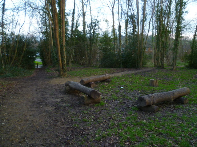
Coachroad Clump is a captivating woodland area located in Sussex, England. Situated near the village of Bolney, this enchanting forest is a hidden gem nestled amidst the rolling countryside. Spanning approximately 50 acres, Coachroad Clump is a haven for nature lovers and outdoor enthusiasts seeking tranquility and natural beauty.
The woodland is primarily composed of native broadleaf trees, such as oak, ash, beech, and birch. These majestic trees form a dense canopy, creating a sense of seclusion and serenity within the forest. The forest floor is carpeted with an array of wildflowers, ferns, and mosses, adding a pop of color and vibrancy to the landscape.
Coachroad Clump is intersected by a network of footpaths, allowing visitors to explore and immerse themselves in the woodland. These paths wind their way through the forest, revealing stunning vistas and providing opportunities for wildlife spotting. The forest is home to a diverse range of animal species, including deer, badgers, foxes, and a variety of bird species, making it a popular spot for wildlife enthusiasts.
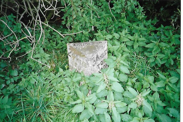
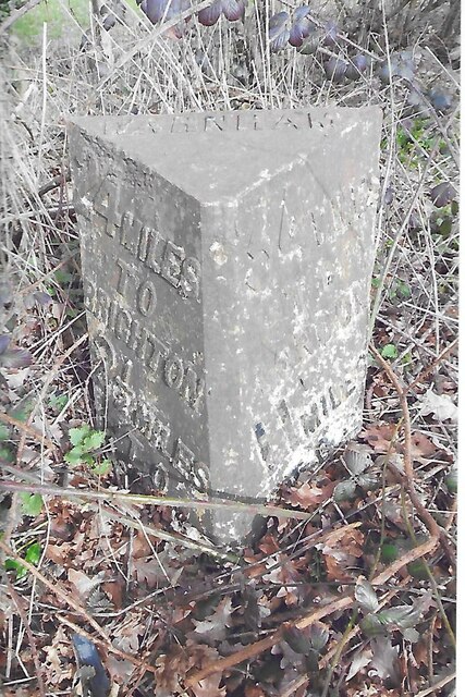
In addition to its natural beauty, Coachroad Clump also has historical significance. The woodland was once part of an old coaching route, hence its name. Remnants of the old road can still be seen, adding an intriguing element to the forest's charm.
Overall, Coachroad Clump is a captivating woodland sanctuary, offering a peaceful retreat from the hustle and bustle of everyday life. Its natural beauty, diverse wildlife, and historical significance make it a true gem of Sussex.
If you have any feedback on the listing, please let us know in the comments section below.
Coachroad Clump Images
Images are sourced within 2km of 51.083682/-0.33953364 or Grid Reference TQ1632. Thanks to Geograph Open Source API. All images are credited.


Coachroad Clump is located at Grid Ref: TQ1632 (Lat: 51.083682, Lng: -0.33953364)
Administrative County: West Sussex
District: Horsham
Police Authority: Sussex
What 3 Words
///motor.intrigued.thank. Near Warnham, West Sussex
Nearby Locations
Related Wikis

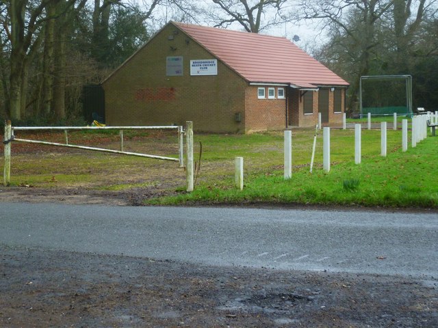
E. Tredcroft's Ground
E. Tredcroft's Ground was a cricket ground at the Warnham Court estate, located at Horsham, Sussex. The first recorded match on the ground was in 1851...

Warnham LNR
Warnham LNR is a 38.4-hectare (95-acre) Local Nature Reserve in Horsham in West Sussex. It is owned and managed by Horsham District Council.The principal...

Warnham
Warnham is a village and civil parish in the Horsham district of West Sussex, England. The village is centred 2 miles (3.2 km) north-northwest of Horsham...

Warnham railway station
Warnham railway station serves the village of Warnham in West Sussex, England. It is 33 miles 46 chains (54.0 km) measured from London Waterloo (although...

Warnham & Rusper (electoral division)
Warnham & Rusper is an electoral division of West Sussex in the United Kingdom and returns one member to sit on West Sussex County Council. The current...
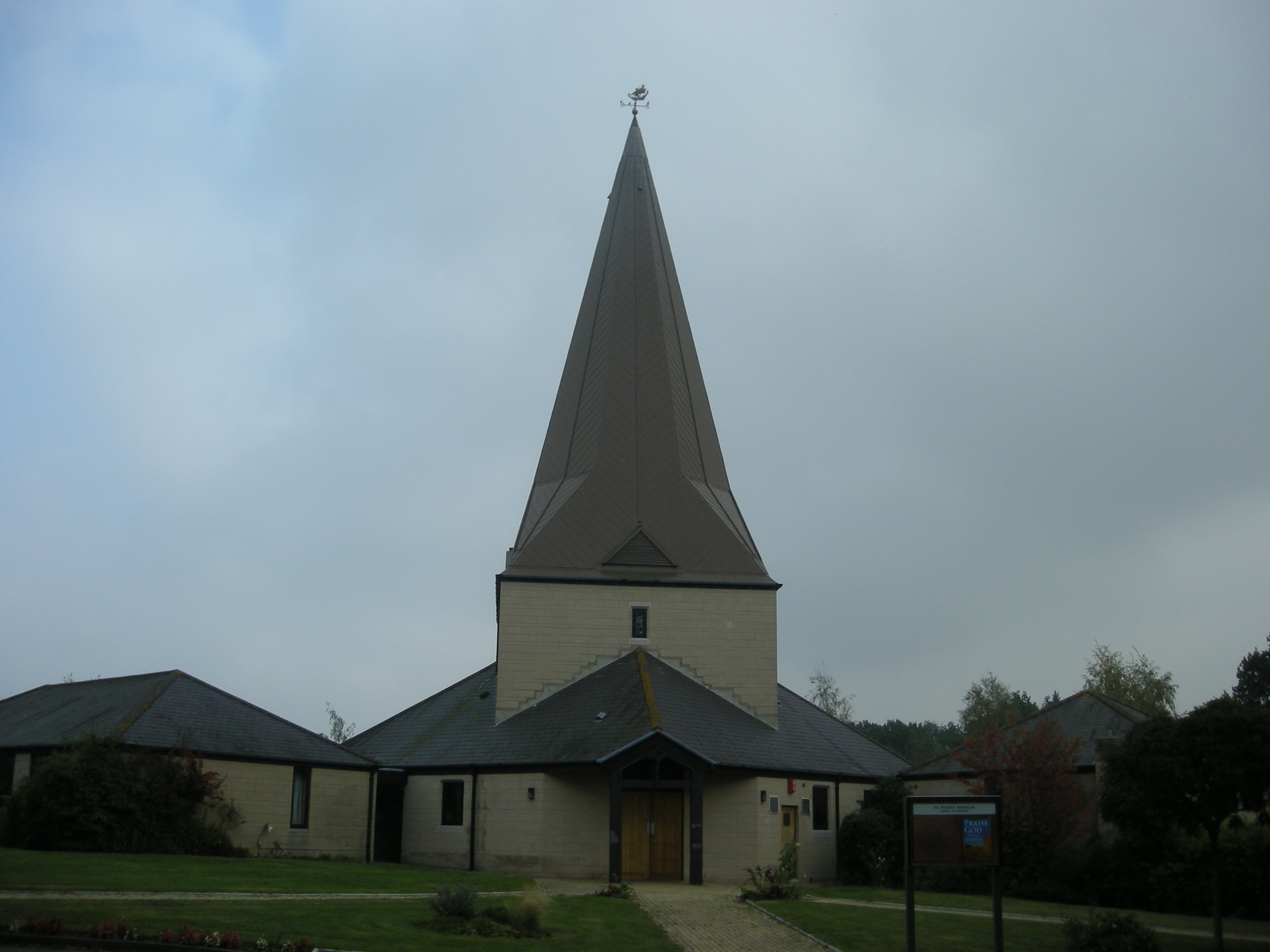
St Mark's Church, Horsham
St Mark's Church is an Anglican church situated on North Heath Lane in the newly created Parish and Benefice of Holbrook in the district of Horsham, West...
Horsham Hurst (electoral division)
Horsham Hurst is an electoral division of West Sussex in the United Kingdom and returns one member to sit on West Sussex County Council. == Extent == The...

Graylands
Graylands is a hamlet in the Horsham district of West Sussex, England. The largely rural hamlet is located north of Holbrook beyond the A264. It is bordered...
Nearby Amenities
Located within 500m of 51.083682,-0.33953364Have you been to Coachroad Clump?
Leave your review of Coachroad Clump below (or comments, questions and feedback).