Charlie's Wood

Wood, Forest in Sussex Horsham

England

Charlie's Wood

New bridleway off Bell Lane The footpath leading south-east off Bell Lane to the old Dorking Road (now sequestered by the A24 dual carriageway) has recently been upgraded to bridleway, no. 3647_1.
New bridleway off Bell Lane Credit: Hugh Craddock

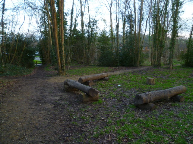
Charlie's Wood is a charming woodland located in the county of Sussex, England. Covering an area of approximately 50 hectares, the wood is known for its diverse range of tree species and rich biodiversity. It is situated in a rural setting, surrounded by picturesque countryside and rolling hills.

The wood is primarily composed of broadleaf trees, including oak, beech, ash, and birch, which create a dense canopy that provides shade and shelter for a variety of wildlife. Visitors to Charlie's Wood can explore the numerous walking trails that wind their way through the forest, offering a peaceful and tranquil experience.

The woodland is home to a plethora of wildlife, making it a popular spot for nature enthusiasts and birdwatchers. Bird species such as woodpeckers, owls, and various songbirds can be spotted among the treetops, while small mammals like squirrels and badgers scurry about on the forest floor. In spring, the wood comes alive with a vibrant display of wildflowers, attracting butterflies and bees.

The management of Charlie's Wood is focused on preserving and enhancing its natural beauty and ecological value. The wood is carefully maintained to ensure the health and longevity of the trees, and conservation efforts are in place to protect the diverse array of flora and fauna.

Overall, Charlie's Wood offers a delightful escape into nature, providing an opportunity for visitors to immerse themselves in the peaceful surroundings and appreciate the wonders of the Sussex woodland.

If you have any feedback on the listing, please let us know in the comments section below.

Charlie's Wood Images

Images are sourced within 2km of 51.080954/-0.34372878 or Grid Reference TQ1632. Thanks to Geograph Open Source API. All images are credited.

New bridleway off Bell Lane The footpath leading south-east off Bell Lane to the old Dorking Road (now sequestered by the A24 dual carriageway) has recently been upgraded to bridleway, no. 3647_1.
New bridleway off Bell Lane
The footpath leading south-east off Bell Lane to the old Dorking Road (now sequestered by the A24 dual carriageway) has recently been upgraded to bridleway, no. 3647_1.
Streets of Horsham Junction of Curzon Avenue and Vale Drive.
Streets of Horsham
Junction of Curzon Avenue and Vale Drive.
Old Milestone by A24, Andrews Farm The Milestone is located by the road.  Parish of Warnham (Horsham District). Cast iron post, Horsham post design, erected by the Horsham & Dorking turnpike trust in the 19th Century. An earlier photograph can be found here: <a title="https://www.geograph.org.uk/photo/1596429" href="https://www.geograph.org.uk/photo/1596429">Link</a> 

Inscription reads:-  
24 MILES / TO / BRIGHTON / 2½ / TO / HORSHAM : : 34 MILES / TO / LONDON / 11 / MILES TO / DORKING : : WARNHAM  

Milestone Society National ID: SX_LA34
Old Milestone by A24, Andrews Farm
The Milestone is located by the road.  Parish of Warnham (Horsham District). Cast iron post, Horsham post design, erected by the Horsham & Dorking turnpike trust in the 19th Century. An earlier photograph can be found here: Link  Inscription reads:- 24 MILES / TO / BRIGHTON / 2½ / TO / HORSHAM : : 34 MILES / TO / LONDON / 11 / MILES TO / DORKING : : WARNHAM Milestone Society National ID: SX_LA34
Old Milestone by A24, Andrews Farm The Milestone is located by the road.  Parish of Warnham (Horsham District). Cast iron post, Horsham post design, erected by the Horsham & Dorking turnpike trust in the 19th Century. An earlier photograph can be found here: <a title="https://www.geograph.org.uk/photo/7429171" href="https://www.geograph.org.uk/photo/7429171">Link</a> 

Inscription reads:-  
24 MILES / TO / BRIGHTON / 2½ / TO / HORSHAM : : 34 MILES / TO / LONDON / 11 / MILES TO / DORKING : : WARNHAM  

Milestone Society National ID: SX_LA34
Old Milestone by A24, Andrews Farm
The Milestone is located by the road.  Parish of Warnham (Horsham District). Cast iron post, Horsham post design, erected by the Horsham & Dorking turnpike trust in the 19th Century. An earlier photograph can be found here: Link  Inscription reads:- 24 MILES / TO / BRIGHTON / 2½ / TO / HORSHAM : : 34 MILES / TO / LONDON / 11 / MILES TO / DORKING : : WARNHAM Milestone Society National ID: SX_LA34
School Hill, Warnham School Hill in the village of Warnham, in West Sussex
School Hill, Warnham
School Hill in the village of Warnham, in West Sussex
Timber-framed outbuilding at Bailing Hill Farm - with antler trophies Bailing Hill (on the Warnham Park estate) is currently run as a deer farm - hence the antler trophies.  Apart from the smallish trophies fixed to the first-floor frame, notice the huge pair of antlers on the ground at the far end of the building.   <span class="nowrap"><a title="http://www.warnhampark.com/" rel="nofollow ugc noopener" href="http://www.warnhampark.com/">Link</a><img style="margin-left:2px;" alt="External link" title="External link - shift click to open in new window" src="https://s1.geograph.org.uk/img/external.png" width="10" height="10"/></span>
Timber-framed outbuilding at Bailing Hill Farm - with antler trophies
Bailing Hill (on the Warnham Park estate) is currently run as a deer farm - hence the antler trophies. Apart from the smallish trophies fixed to the first-floor frame, notice the huge pair of antlers on the ground at the far end of the building. LinkExternal link
Former school, by Warnham village green A Victorian school building, overlooking the village green from the east.
Former school, by Warnham village green
A Victorian school building, overlooking the village green from the east.
Mid-18th century tombstone, Warnham churchyard The name is JOHN AGATE (if I've read it correctly) and the date July 1748.  The jawless skull is pretty typical of the rather heartless imagery to be found on 18th century tombstones.
Mid-18th century tombstone, Warnham churchyard
The name is JOHN AGATE (if I've read it correctly) and the date July 1748. The jawless skull is pretty typical of the rather heartless imagery to be found on 18th century tombstones.
Log seating by crosstracks at Warnham
Houses on Tilletts Lane The camera is near the junction with Gregsons.
Houses on Tilletts Lane
The camera is near the junction with Gregsons.
Warnham Manor seen from footpath See also <a title="https://www.geograph.org.uk/photo/2071947" href="https://www.geograph.org.uk/photo/2071947">Link</a>.
Warnham Manor seen from footpath
See also Link.
Junction of Billingshurst and Old Guildford Roads
Shelley Primary School
1st Broadbridge Heath Group Headquarters We are talking Scouts here.
A 2011 picture is at <a title="https://www.geograph.org.uk/photo/2477271" href="https://www.geograph.org.uk/photo/2477271">Link</a>.
1st Broadbridge Heath Group Headquarters
We are talking Scouts here. A 2011 picture is at Link.
Dirt jumps west of Broadbridge Heath Road This is marked on the OS mapping as a path.  See also <a title="https://www.geograph.org.uk/photo/1988544" href="https://www.geograph.org.uk/photo/1988544">Link</a>.
The building seen through the trees is a cricket pavilion.
Dirt jumps west of Broadbridge Heath Road
This is marked on the OS mapping as a path. See also Link. The building seen through the trees is a cricket pavilion.
Broadbridge Heath cricket club
Looking north on Broadbridge Heath Road from Byfleets Lane
Junction of Broadbridge Heath Road and Robin Hood Lane
Show me another place!

Charlie's Wood is located at Grid Ref: TQ1632 (Lat: 51.080954, Lng: -0.34372878)

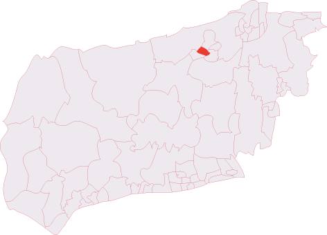
Administrative County: West Sussex

District: Horsham

Police Authority: Sussex

What 3 Words

///poppy.shall.toxic. Near Warnham, West Sussex

Related Wikis

E. Tredcroft's Ground

E. Tredcroft's Ground was a cricket ground at the Warnham Court estate, located at Horsham, Sussex. The first recorded match on the ground was in 1851...
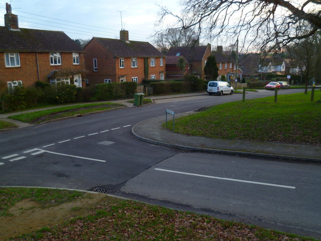
Warnham LNR

Warnham LNR is a 38.4-hectare (95-acre) Local Nature Reserve in Horsham in West Sussex. It is owned and managed by Horsham District Council.The principal...
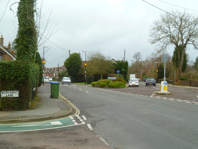
Warnham

Warnham is a village and civil parish in the Horsham district of West Sussex, England. The village is centred 2 miles (3.2 km) north-northwest of Horsham...

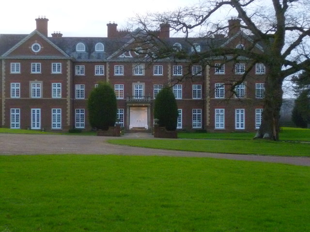
Field Place, Warnham

Field Place is a Grade I listed house in Warnham, West Sussex, England. It is the birthplace of the poet Percy Bysshe Shelley, born there in 1792. The...
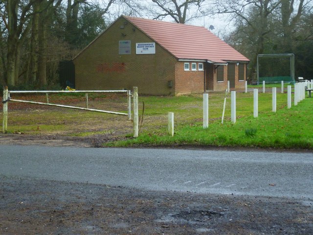
Broadbridge Heath

Broadbridge Heath is a village and civil parish in the Horsham district of West Sussex, England. It is about two miles (3 km) west from the historic centre...

Horsham Hurst (electoral division)

Horsham Hurst is an electoral division of West Sussex in the United Kingdom and returns one member to sit on West Sussex County Council. == Extent == The...

Warnham & Rusper (electoral division)

Warnham & Rusper is an electoral division of West Sussex in the United Kingdom and returns one member to sit on West Sussex County Council. The current...

Warnham railway station

Warnham railway station serves the village of Warnham in West Sussex, England. It is 33 miles 46 chains (54.0 km) measured from London Waterloo (although...

Related Videos

Take an Epic 4K Drone Journey on a Beginners Hiking Adventure in the UK!

Distance: 16.5 km (10.3 miles) Grading: Easy Rating: 3 out of 10 Ascents: 314 m Hiking time: About 5.5 to 6.5 hours of actual ...

Walks around Britain | Country Walking Routes | Country walk near me | Walks near London @ Chesworth

Walks around Britain | Country Walking Routes | Country walk near me | Walks near London @ Chesworth - Shu will show you ...

Nearby Amenities

Located within 500m of 51.080954,-0.34372878
Traffic Signals
Lat/Long: 51.0793496/-0.3374085
Traffic Signals
Lat/Long: 51.0794348/-0.3371974
Traffic Signals
Lat/Long: 51.0790435/-0.3378281
Crossing
Bicycle: yes
Crossing: traffic_signals
Crossing Island: no
Crossing Ref: toucan
Kerb: flush
Tactile Paving: yes
Lat/Long: 51.0795883/-0.3373562
Traffic Signals
Lat/Long: 51.0790327/-0.338021
Crossing
Bicycle: yes
Crossing: traffic_signals
Crossing Island: no
Crossing Ref: toucan
Kerb: flush
Tactile Paving: yes
Lat/Long: 51.0793928/-0.3372212
Barrier: kissing_gate
Foot: yes
Lat/Long: 51.0787576/-0.3487133
Access: private
Lat/Long: 51.0849666/-0.3455364
Grotto
Leisure: garden
Lat/Long: 51.0844519/-0.3471565
Fountain
Lat/Long: 51.0847191/-0.3471594
Warnham Court
Place: isolated_dwelling
Lat/Long: 51.0847349/-0.3465317
Coachroad Clump
Natural: wood
Lat/Long: 51.0829359/-0.3408369
Communication Mobile Phone: yes
Man Made: mast
Tower Type: communication
Lat/Long: 51.0772618/-0.3402195
Traffic Signals
Lat/Long: 51.0790573/-0.3373293
The data included in this document is from www.openstreetmap.org. The data is made available under ODbL.

Have you been to Charlie's Wood?

Leave your review of Charlie's Wood below (or comments, questions and feedback).