Carthouse Shaw
Wood, Forest in Sussex Horsham
England
Carthouse Shaw

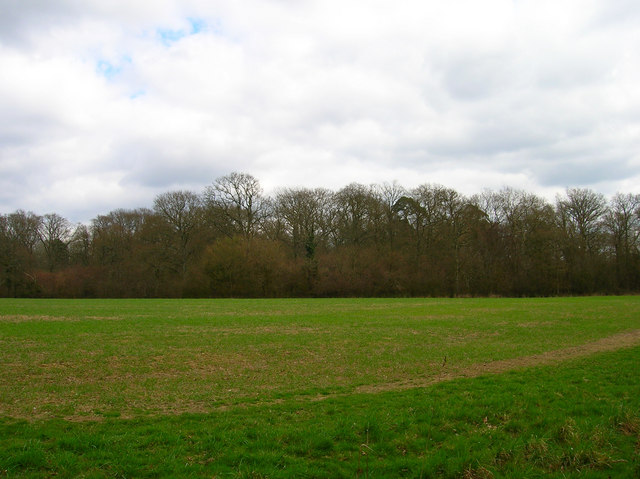
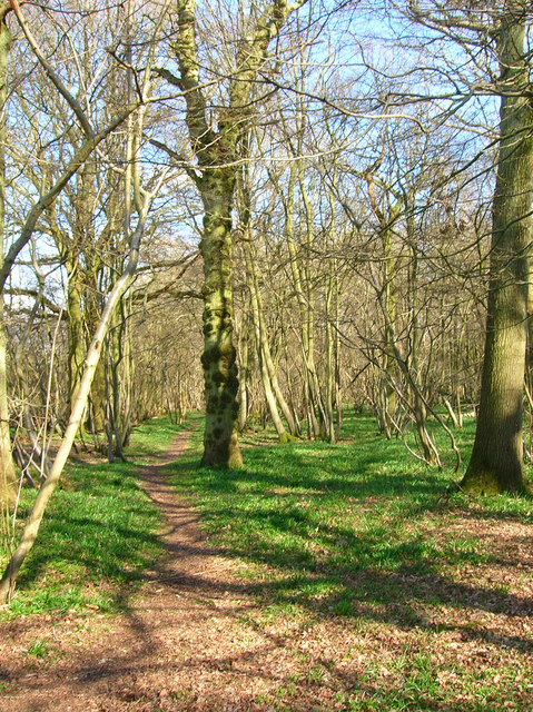
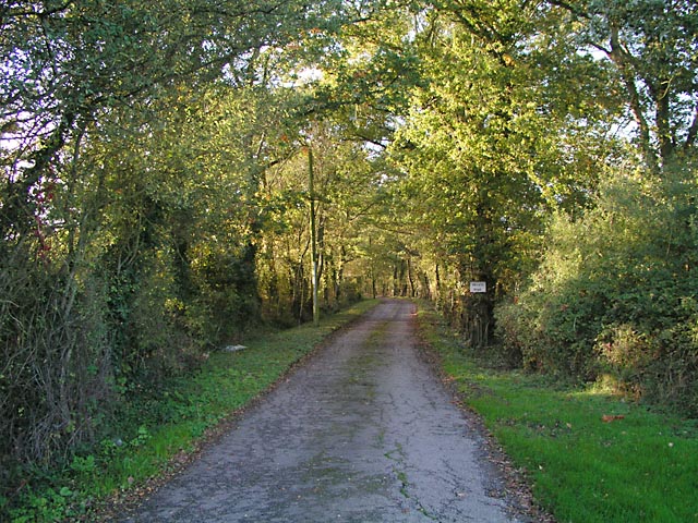
Carthouse Shaw is a picturesque woodland located in Sussex, England. Nestled within the beautiful landscape of the South Downs National Park, it offers a serene and tranquil escape from the bustling city life. The shaw, which is an old English term for a small wood or forest, covers an area of approximately 100 acres.
The woodland is predominantly made up of native tree species such as oak, beech, and ash, creating a rich and diverse ecosystem. These trees provide a natural canopy that filters sunlight, creating a cool and shaded environment even on the warmest of days. The forest floor is covered with a lush carpet of ferns, wildflowers, and mosses, adding to the enchanting atmosphere.
Carthouse Shaw is home to a variety of wildlife, including deer, foxes, badgers, and numerous bird species. It provides a vital habitat for these creatures, offering shelter, food, and protection. The sound of birdsong can be heard throughout the woodland, creating a symphony of nature.
The shaw is a popular destination for nature lovers, hikers, and photographers, who are drawn to its natural beauty and tranquility. There are several well-maintained walking trails that wind through the woodland, allowing visitors to explore its hidden corners and discover its hidden treasures.
Carthouse Shaw is a true gem of Sussex, offering a peaceful retreat where visitors can connect with nature and escape the stresses of everyday life. Whether it's a leisurely stroll, a picnic, or simply immersing oneself in the beauty of the surroundings, this woodland provides a magical experience for all who venture within its boundaries.
If you have any feedback on the listing, please let us know in the comments section below.
Carthouse Shaw Images
Images are sourced within 2km of 50.947676/-0.34807137 or Grid Reference TQ1617. Thanks to Geograph Open Source API. All images are credited.


Carthouse Shaw is located at Grid Ref: TQ1617 (Lat: 50.947676, Lng: -0.34807137)
Administrative County: West Sussex
District: Horsham
Police Authority: Sussex
What 3 Words
///pine.rises.inspected. Near Ashurst, West Sussex
Nearby Locations
Related Wikis

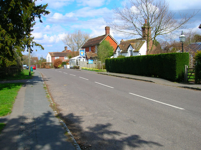
Dial Post
Dial Post is a village in the Horsham District of West Sussex, England. The civil parish, where the lowest level political meetings are held, is West Grinstead...

St James's Church, Ashurst
St James's Church is a Church of England parish church in Ashurst, West Sussex. The church is a grade I listed building and it dates from the early 12th...

Ashurst, West Sussex
Ashurst is a village and civil parish in the Horsham District of West Sussex, England, about 2 miles (3.2 km) west of Henfield, and 11 miles (18 km) south...

Bines Green
Bines Green is a hamlet in the Horsham District of West Sussex, England. It lies 1.9 miles (3.1 km) north west of Henfield on the B2135 road between Ashurst...

Fountain Inn, Ashurst
The Fountain Inn is a 16th-century public house in the village of Ashurst, in the Horsham district of West Sussex, England. After a period as a farmhouse...

St George's Church, West Grinstead
St George's Church is an Anglican church in West Grinstead, West Sussex, England. It is in the Diocese of Chichester, occupying a rural position in the...
Partridge Green
Partridge Green is a village in the Horsham District of West Sussex, England. It lies on the B2135 road 2.5 miles (4 km) north-west of Henfield. It is...

Partridge Green railway station
Partridge Green was a railway station on the Steyning Line which served the village of Partridge Green. The station closed as a result of the Beeching...
Nearby Amenities
Located within 500m of 50.947676,-0.34807137Have you been to Carthouse Shaw?
Leave your review of Carthouse Shaw below (or comments, questions and feedback).