Tache Wood

Wood, Forest in Hertfordshire North Hertfordshire

England

Tache Wood

King's Walden Church This church is on the edge of parkland.  It is a large church serving dispersed settlements rather than a village.
King's Walden Church Credit: Humphrey Bolton

Tache Wood is a picturesque forest located in Hertfordshire, England. Spread over an area of approximately 100 acres, it is known for its rich biodiversity and serene natural beauty. The wood is situated in the eastern part of Hertfordshire, near the village of Tache.

Tache Wood is predominantly made up of broadleaf trees, including oak, beech, and ash, which create a dense canopy overhead, offering shade and shelter to a variety of wildlife. The forest floor is covered in a thick layer of fallen leaves, providing a habitat for numerous insects, fungi, and small mammals.

The woodland is crisscrossed with a network of well-maintained footpaths, allowing visitors to explore and experience the tranquility of the surroundings. These paths lead to various points of interest, such as a small pond teeming with frogs and newts, and a clearing that offers a stunning view of the surrounding countryside.

Tache Wood is a popular destination for nature lovers, walkers, and birdwatchers. The forest is home to a diverse range of bird species, including woodpeckers, owls, and songbirds, making it an ideal spot for birdwatching enthusiasts.

Managed by the local authorities, Tache Wood is well-preserved and offers a peaceful retreat away from the hustle and bustle of urban life. It provides an excellent opportunity for visitors to connect with nature, enjoy leisurely walks, and appreciate the beauty of the British countryside.

If you have any feedback on the listing, please let us know in the comments section below.
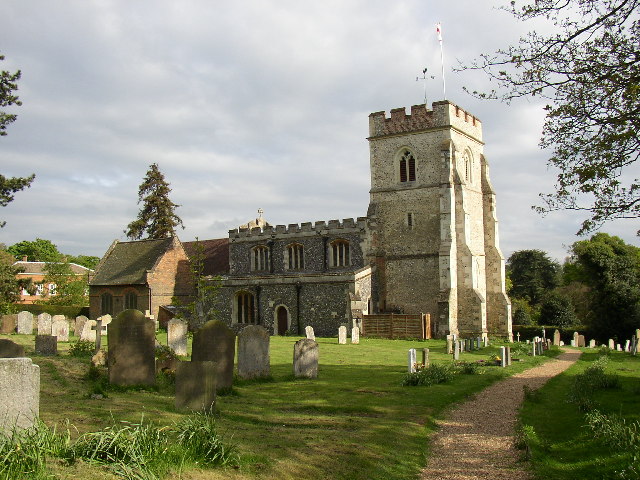
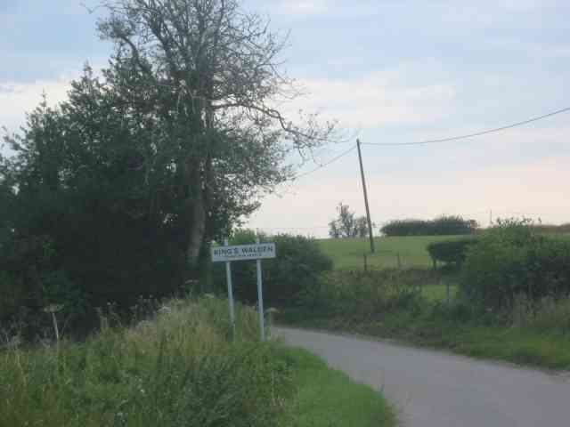
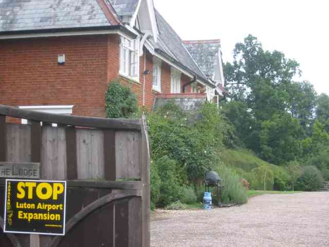
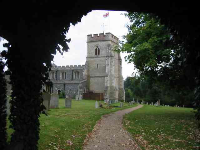
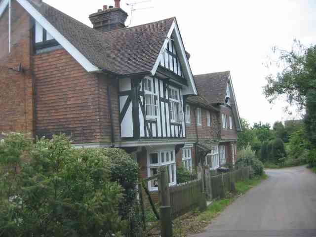
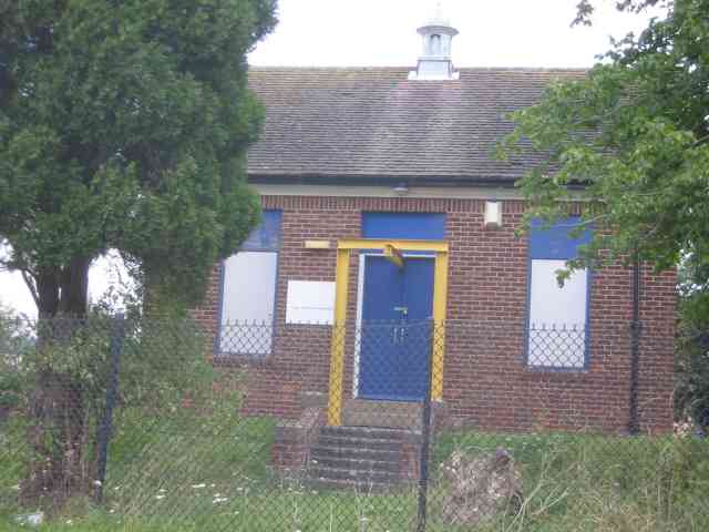
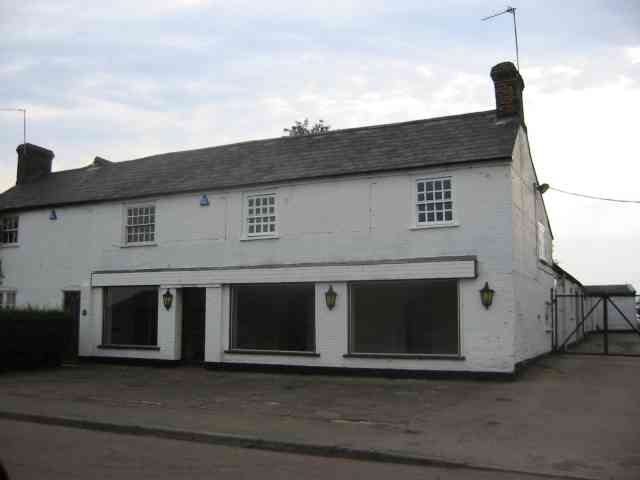
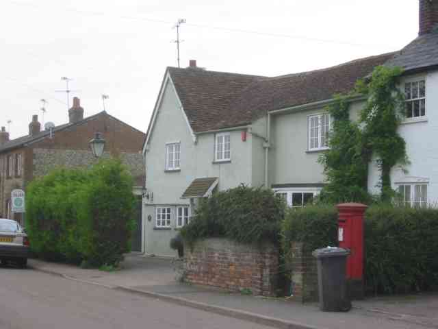
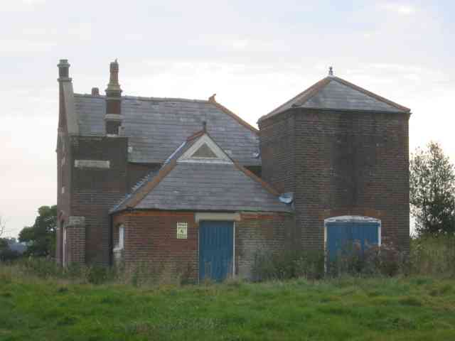
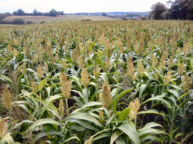
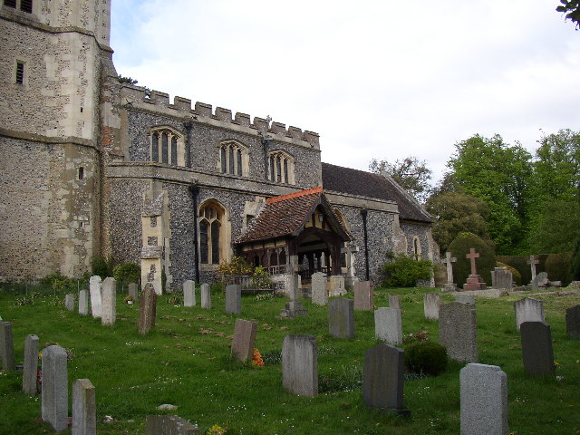
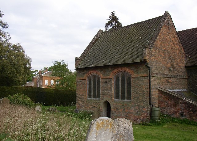
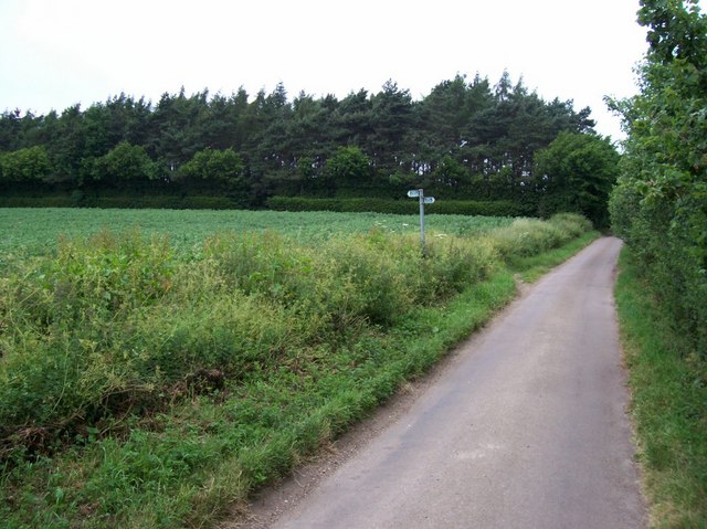
Tache Wood Images

Images are sourced within 2km of 51.903013/-0.31770691 or Grid Reference TL1524. Thanks to Geograph Open Source API. All images are credited.

King's Walden Church This church is on the edge of parkland.  It is a large church serving dispersed settlements rather than a village.
King's Walden Church
This church is on the edge of parkland. It is a large church serving dispersed settlements rather than a village.
Village sign for Kings Walden A useful aide-memoire of location
Village sign for Kings Walden
A useful aide-memoire of location
Grain store at Parsonage Farm A ventilation fan was humming away all the time. Probably a 24-hour activity.
Grain store at Parsonage Farm
A ventilation fan was humming away all the time. Probably a 24-hour activity.
Farmyard at Parsonage Farm Once again the farmyard was empty
Farmyard at Parsonage Farm
Once again the farmyard was empty
House in Church Rd Kings Walden The protest regarding Luton airport is recorded for 
posterity?
House in Church Rd Kings Walden
The protest regarding Luton airport is recorded for posterity?
King's Walden Church The lych gate scene was too good to miss.
King's Walden Church
The lych gate scene was too good to miss.
Houses on Church Road King's Walden They have a solid Edwardian ambience.
Houses on Church Road King's Walden
They have a solid Edwardian ambience.
Pumping Station at King's Walden This design has a sorry look about it
Pumping Station at King's Walden
This design has a sorry look about it
Empty showrooms at Breachwood  Green Was this once a car sales emporium?
Yes it used to sell SAAB cars.
Empty showrooms at Breachwood Green
Was this once a car sales emporium? Yes it used to sell SAAB cars.
House next door to the showrooms House and showrooms <a title="https://www.geograph.org.uk/photo/47777" href="https://www.geograph.org.uk/photo/47777">Link</a> would seem to have a relationship of owner perhaps.
House next door to the showrooms
House and showrooms Link would seem to have a relationship of owner perhaps.
Derelict house opposite Parsonage Farm near Ley Green I wonder why this house with  the strange square 
structure with double doors has not been acquired for renovation.  Oh for a winning lottery ticket! Have been advised that this in fact is a pumping station for water supply.
Derelict house opposite Parsonage Farm near Ley Green
I wonder why this house with the strange square structure with double doors has not been acquired for renovation. Oh for a winning lottery ticket! Have been advised that this in fact is a pumping station for water supply.
Looking south from Judkins Wood, Great Offley This is taken from the bottom edge of this square looking south over a maize crop
Looking south from Judkins Wood, Great Offley
This is taken from the bottom edge of this square looking south over a maize crop
South side of King's Walden Church St Mary's church was built in the 12C or 13C, the tower in the 14C and the clerestory, with its battlements, and S aisle in the 15C; note the Perpendicular-style windows.  The porch was added in 1868 when the church was restored, and doesn't look right to me - a pity it wasn't built in stone to match the church.  Some repairs to stonework (to the right of the staircase projection) have been made using red tiles.
South side of King's Walden Church
St Mary's church was built in the 12C or 13C, the tower in the 14C and the clerestory, with its battlements, and S aisle in the 15C; note the Perpendicular-style windows. The porch was added in 1868 when the church was restored, and doesn't look right to me - a pity it wasn't built in stone to match the church. Some repairs to stonework (to the right of the staircase projection) have been made using red tiles.
The vestry of King's Walden Church This was built in the 17C as the Hale family mortuary chapel, and was later converted for use as the vestry.
The vestry of King's Walden Church
This was built in the 17C as the Hale family mortuary chapel, and was later converted for use as the vestry.
Footpath crosses road Looking NW from about TL175235, where the footpath from Whitehall Farm (off over the field to the left) to Prestonhill Farm (off beyond the hedge and field to the right) crosses the road from Whitwell to Preston.
Footpath crosses road
Looking NW from about TL175235, where the footpath from Whitehall Farm (off over the field to the left) to Prestonhill Farm (off beyond the hedge and field to the right) crosses the road from Whitwell to Preston.
Path to Prestonhill Farm Looking NE from where the path crosses the road and heads across the field toward Prestonhill Farm.
Path to Prestonhill Farm
Looking NE from where the path crosses the road and heads across the field toward Prestonhill Farm.
Path towards Whitehall Farm Looking west from where the path crosses the road at TL175236, the path crosses a field toward Whitehall Farm - just out of shot over the crest of the hill.
Path towards Whitehall Farm
Looking west from where the path crosses the road at TL175236, the path crosses a field toward Whitehall Farm - just out of shot over the crest of the hill.
Frogmore Frogmore is a tiny village of a few houses and a livery stable. This is looking East along the road. A duckpond is just out of shot to the right.
Frogmore
Frogmore is a tiny village of a few houses and a livery stable. This is looking East along the road. A duckpond is just out of shot to the right.
Show me another place!

Tache Wood is located at Grid Ref: TL1524 (Lat: 51.903013, Lng: -0.31770691)

Administrative County: Hertfordshire

District: North Hertfordshire

Police Authority: Hertfordshire

What 3 Words

///albums.enabling.backup. Near Hitchin, Hertfordshire

Nearby Locations

Tache Wood Ley Green

Related Wikis

Breachwood Green Mill, King's Walden

Breachwood Green Mill is a Grade II listed tower mill at King's Walden, Hertfordshire, England which has been converted to residential accommodation....

King's Walden

King's Walden is a civil parish in the English county of Hertfordshire. The name includes an apostrophe, but this is often omitted. The main settlement...

Preston, Hertfordshire

Preston is a village and civil parish about 3 miles (4.8 km) south of Hitchin in Hertfordshire, England. At the 2011 Census the population was 420.The...

Princess Helena College

PHC was a co-educational independent day and boarding school for students aged 11 to 18 in Preston near Hitchin in Hertfordshire, England. The school was...

Wain Wood

Wain Wood is an ancient woodland extending to 19.2 hectares (47 acres) near Preston in North Hertfordshire. The site is a Site of Special Scientific Interest...

Bendish

Bendish is a hamlet located in the parish of St Paul's Walden in Hertfordshire. In the 18th century, Bendish was a small town. It is about 3 miles east...

Stagenhoe

Stagenhoe is a Grade II listed stately home and surrounding gardens located in the village of St Paul's Walden in Hertfordshire. It is approximately 6...

Offley

Offley is a civil parish in the English county of Hertfordshire, between Hitchin and Luton. The main village is Great Offley, and the parish also contains...

Nearby Amenities

Located within 500m of 51.903013,-0.31770691
Odbl: clean
Lat/Long: 51.9059393/-0.3191548
Odbl: clean
Lat/Long: 51.90599/-0.3190384
Pub
The Plough
Wikidata: Q26396512
Lat/Long: 51.9058314/-0.3134749
Bus Stop
Plough Lane
Bus: yes
Naptan AtcoCode: 210021100340
Naptan Bearing: NW
Naptan CommonName: Plough Lane
Naptan Indicator: opp
Naptan NaptanCode: hrtgmdaw
Naptan Street: King's Walden Road
Naptan Verified: no
Public Transport: platform
Shelter: yes
Lat/Long: 51.9047064/-0.3152478
Telephone
Booth: KX100
Covered: booth
Lat/Long: 51.9047172/-0.3152749
Odbl: clean
Lat/Long: 51.9023486/-0.3172027
Barrier: kissing_gate
Bicycle: no
Foot: yes
Source: GPS, observation
Lat/Long: 51.9067958/-0.314562
Barrier: kissing_gate
Foot: yes
Note: Ley Green 300yds
Source: GPS, observation
Lat/Long: 51.9062488/-0.3133197
Barrier: kissing_gate
Foot: yes
Note: Parsonage FArm 310 yds
Lat/Long: 51.9062806/-0.3131208
Odbl: clean
Lat/Long: 51.9029361/-0.3191767
Odbl: clean
Lat/Long: 51.9031756/-0.3195258
Barrier: kissing_gate
Foot: yes
Lat/Long: 51.9066152/-0.3187568
Barrier: kissing_gate
Foot: yes
Lat/Long: 51.9071329/-0.3194335
Odbl: clean
Lat/Long: 51.9067075/-0.3188561
Church
Local Ref: NR
Naptan AtcoCode: 210021107860
Naptan Bearing: SW
Naptan BusStopType: CUS
Naptan CommonName: Church
Naptan Crossing: Church
Naptan Indicator: nr
Naptan Landmark: Church
Naptan NaptanCode: hrtgjdmg
Naptan ShortCommonName: NA
Naptan Street: Church Road
Naptan Verified: no
Source: naptan_import
Lat/Long: 51.8990224/-0.3153261
Post Box
Collection Times: Mo-Fr 16:45; Sa 11:00
Post Box Type: lamp
Ref: SG4 116
Lat/Long: 51.905014/-0.31458
Post Office
Kings Walden Post Office
Addr Country: GB
Addr Postcode: SG4 8LA
Brand: Post Office
Brand Wikidata: Q1783168
Contact Website: https://www.postoffice.co.uk/branch-finder/0701297/kings-walden
Ref Pol Id: 539
Lat/Long: 51.9050053/-0.3144991
Barrier: kissing_gate
Bicycle: no
Foot: yes
Source: GPS, observation
Lat/Long: 51.9072712/-0.3155179
Source: GPS, observation
Tourism: picnic_site
Lat/Long: 51.9069685/-0.3163331
Colour: blue
Inscription: SV
Marker: post
Material: concrete
Utility: water
Lat/Long: 51.9012519/-0.3128162
Colour: blue
Inscription: SV
Marker: post
Material: concrete
Utility: water
Lat/Long: 51.9012557/-0.3128105
Colour: blue
Inscription: SV
Marker: post
Material: concrete
Utility: water
Lat/Long: 51.9012619/-0.3128035
Colour: blue
Inscription: SV
Marker: post
Material: concrete
Utility: water
Lat/Long: 51.9012659/-0.3127971
Colour: blue
Inscription: SV
Marker: post
Material: concrete
Utility: water
Lat/Long: 51.9011649/-0.3128957
The data included in this document is from www.openstreetmap.org. The data is made available under ODbL.

Have you been to Tache Wood?

Leave your review of Tache Wood below (or comments, questions and feedback).