Beechy Wood

Wood, Forest in Surrey Mole Valley

England

Beechy Wood

Boxhill and Westhumble Station
Boxhill and Westhumble Station Credit: Alex McGregor

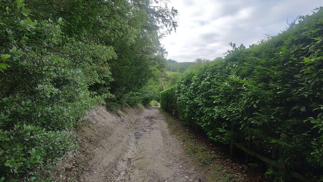
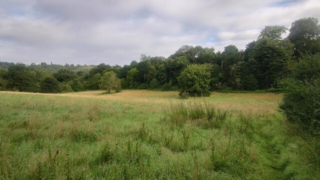
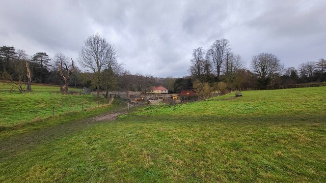
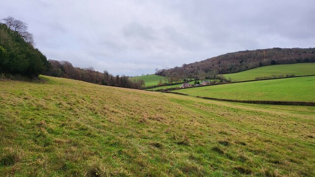
Beechy Wood is a picturesque woodland located in Surrey, England. Spread across an area of approximately 100 acres, it is a popular destination for nature enthusiasts and those seeking tranquility away from the bustling city life. The wood is predominantly composed of beech trees, which lend the site its name and create a stunning canopy of vibrant green during the summer months.

The woodland boasts a diverse range of flora and fauna, making it a haven for wildlife. Visitors can spot a variety of bird species, including woodpeckers, owls, and warblers, as well as small mammals such as squirrels and rabbits. The forest floor is adorned with a carpet of bluebells in the spring, creating a breathtaking sight.

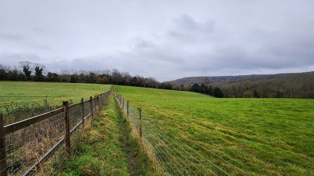
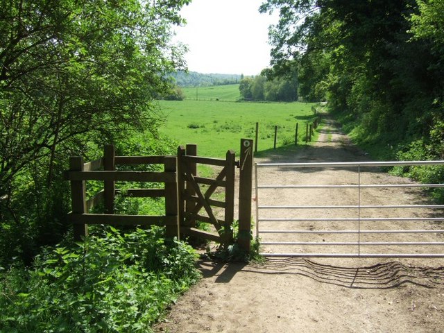
There are several well-maintained walking trails that crisscross the wood, offering visitors the opportunity to explore its beauty at their own pace. These paths are suitable for people of all ages and fitness levels, making Beechy Wood an ideal location for a leisurely stroll or a family outing. Along the trails, visitors will come across benches and picnic spots where they can relax and admire the peaceful surroundings.

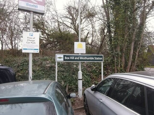
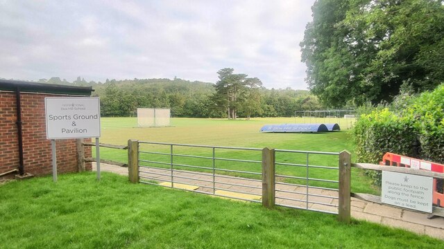
Beechy Wood is easily accessible, located just a short drive from the town of Guildford. It provides ample parking facilities for visitors and is open year-round, allowing visitors to experience the changing seasons and the unique beauty they bring to the wood. Whether it's a walk among the towering beech trees, a picnic amidst nature, or a birdwatching adventure, Beechy Wood offers a peaceful retreat for all nature lovers.

If you have any feedback on the listing, please let us know in the comments section below.
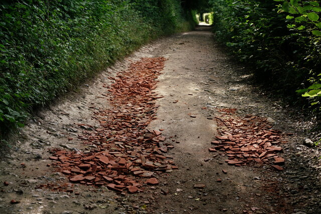
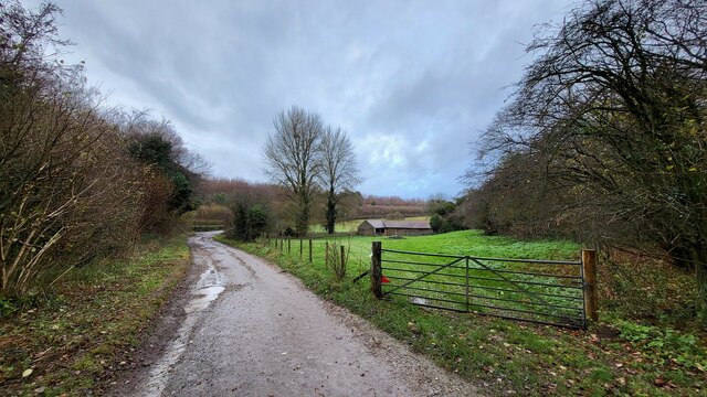
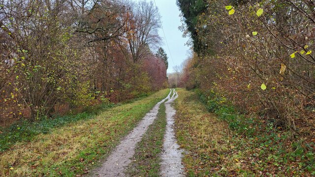
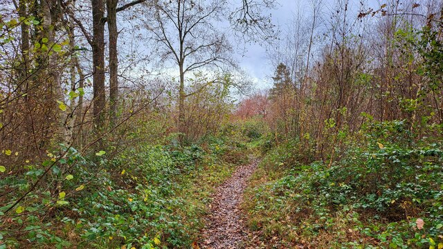
Beechy Wood Images

Images are sourced within 2km of 51.261066/-0.34150607 or Grid Reference TQ1552. Thanks to Geograph Open Source API. All images are credited.

Boxhill and Westhumble Station
Westhumble Street Short side residential road off the main road with the same name.
Westhumble Street
Short side residential road off the main road with the same name.
Westhumble - Pilgrims Way Private road housing estate.
Westhumble - Pilgrims Way
Private road housing estate.
Mickleham - Old London Road
Box Hill School playing field Grounds next to Swanworth Farm
Box Hill School playing field
Grounds next to Swanworth Farm
Bridleway through Juniperhill Wood Part of Mickleham Downs near Headley Lane.
Bridleway through Juniperhill Wood
Part of Mickleham Downs near Headley Lane.
Field north of Fredley Manor Footpath on the right going to the Old London Road.
Field north of Fredley Manor
Footpath on the right going to the Old London Road.
View From Denbies Vineyard The vineyard buildings, in the middle distance, are surrounded by vines. In the distance are the wooded slopes of Box Hill.
View From Denbies Vineyard
The vineyard buildings, in the middle distance, are surrounded by vines. In the distance are the wooded slopes of Box Hill.
View From Bookham Wood Looking in the direction of Norbury Park.
View From Bookham Wood
Looking in the direction of Norbury Park.
Track on Denshire Hill Behind the photographer, the track continues to Bocketts Farm.
Track on Denshire Hill
Behind the photographer, the track continues to Bocketts Farm.
Polesden Lacey - Ignite 2021 - Fire-Breathing Dragon "Ignite" - a popular after dark son et lumiere, late autumn 2021, at Polesden Lacey Garden (NT).
<span class="nowrap"><a title="www.nationaltrust.org.uk/polesden-lacey" rel="nofollow ugc noopener" href="http://www.nationaltrust.org.uk/polesden-lacey">Link</a><img style="margin-left:2px;" alt="External link" title="External link - shift click to open in new window" src="https://s1.geograph.org.uk/img/external.png" width="10" height="10"/></span>
Polesden Lacey - Ignite 2021 - Fire-Breathing Dragon
"Ignite" - a popular after dark son et lumiere, late autumn 2021, at Polesden Lacey Garden (NT). LinkExternal link
Farm building and gate on the Fetcham Downs
Woodland track on Denshire Hill
Footpath on Denshire Hill Winter has arrived in the woods.
Footpath on Denshire Hill
Winter has arrived in the woods.
Bagden Farm Major works in progress at Bagden Farm.
Bagden Farm
Major works in progress at Bagden Farm.
Public footpath near Phoenice Cottages Popular footpath through the stunning Surrey Hills.
Public footpath near Phoenice Cottages
Popular footpath through the stunning Surrey Hills.
Footpath towards Old Dene Cottages Entering grassland from Chapelhill Woods.
Footpath towards Old Dene Cottages
Entering grassland from Chapelhill Woods.
Keepers Cottage Property on the northern edge of Ranmore Common. Ranmore Common Road is a rural lane with passing places.
Keepers Cottage
Property on the northern edge of Ranmore Common. Ranmore Common Road is a rural lane with passing places.
Show me another place!

Beechy Wood is located at Grid Ref: TQ1552 (Lat: 51.261066, Lng: -0.34150607)

Administrative County: Surrey

District: Mole Valley

Police Authority: Surrey

What 3 Words

///monday.detect.lovely. Near Dorking, Surrey

Nearby Locations

Chapel Wood Beechy Wood

Related Wikis

Mole Gap Trail

The Mole Gap Trail is a 10-kilometre (6.2 mi) official walking route alongside the River Mole, linking the Surrey towns of Dorking and Leatherhead. The...

Westhumble

Westhumble is a village in south east England, approximately 2 km (1.2 mi) north of Dorking, Surrey. The village is not part of a civil parish, however...

Norbury Park

Norbury Park is a swathe of mixed wooded and agricultural land associated with its Georgian manor house near Leatherhead and Dorking, Surrey, which appears...

Mole Valley (UK Parliament constituency)

Mole Valley is a constituency in Surrey represented in the House of Commons of the UK Parliament since 1997 by Sir Paul Beresford, a Conservative.Further...

Nearby Amenities

Located within 500m of 51.261066,-0.34150607
Barrier: kissing_gate
Foot: yes
Lat/Long: 51.2636934/-0.3360083
Barrier: stile
Lat/Long: 51.2586522/-0.343466
Barrier: kissing_gate
Lat/Long: 51.2595557/-0.3437984
Barrier: stile
Stile: stepover
Lat/Long: 51.2593609/-0.3414674
Beechy Wood
Place: locality
Lat/Long: 51.2612276/-0.3414679
Crabtree Cottages
Place: locality
Source: knowledge
Lat/Long: 51.259934/-0.3466874
Nicols Field
Natural: wood
Lat/Long: 51.2595928/-0.3356617
Barrier: cycle_barrier
Lat/Long: 51.2608393/-0.3416078
The data included in this document is from www.openstreetmap.org. The data is made available under ODbL.

Have you been to Beechy Wood?

Leave your review of Beechy Wood below (or comments, questions and feedback).