Croppersgorse Plantation
Wood, Forest in Lincolnshire West Lindsey
England
Croppersgorse Plantation

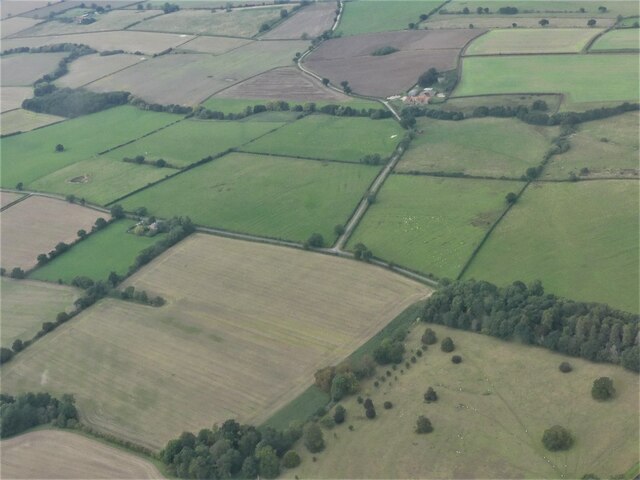
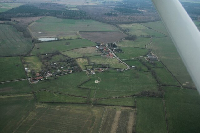
Croppersgorse Plantation is a picturesque woodland located in the county of Lincolnshire in England. Covering a vast area of approximately 300 acres, it is situated near the village of Croppersgorse and is renowned for its stunning natural beauty and diverse flora and fauna.
The plantation is primarily composed of a mix of deciduous and coniferous trees, creating a rich and varied woodland ecosystem. The dominant tree species include oak, beech, birch, and pine, which provide a dense canopy, making the area ideal for a wide range of wildlife.
The forest floor is adorned with a carpet of wildflowers, including bluebells, primroses, and foxgloves, creating a vibrant and colorful landscape during the spring and summer months. The undergrowth is also home to a variety of ferns, mosses, and fungi, adding to the plant diversity.
Croppersgorse Plantation is a haven for wildlife enthusiasts, as it supports a wealth of animal species. The woodland is home to several mammal species, including deer, foxes, badgers, and squirrels. It also provides nesting sites for a variety of birds, such as woodpeckers, owls, and thrushes.
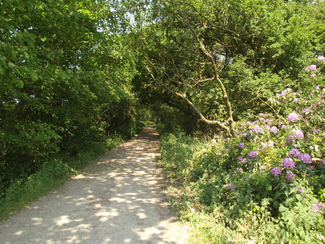
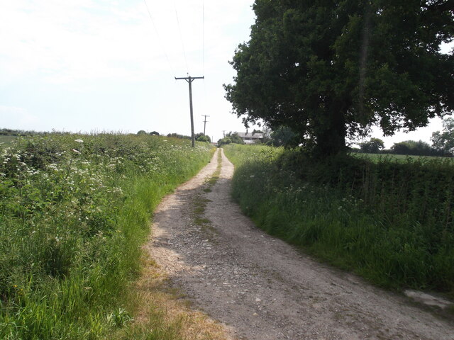
The plantation is a popular destination for nature lovers and hikers, as it offers an extensive network of walking trails that meander through the woodland. These trails allow visitors to explore the beauty of the forest and observe its inhabitants up close.
Overall, Croppersgorse Plantation is a treasured natural gem in Lincolnshire, providing a peaceful and enchanting environment for both wildlife and visitors to enjoy.
If you have any feedback on the listing, please let us know in the comments section below.
Croppersgorse Plantation Images
Images are sourced within 2km of 53.353201/-0.26296872 or Grid Reference TF1585. Thanks to Geograph Open Source API. All images are credited.


Croppersgorse Plantation is located at Grid Ref: TF1585 (Lat: 53.353201, Lng: -0.26296872)
Administrative County: Lincolnshire
District: West Lindsey
Police Authority: Lincolnshire
What 3 Words
///statement.lovely.helpless. Near Market Rasen, Lincolnshire
Nearby Locations
Related Wikis

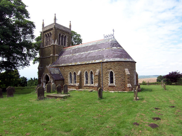
Legsby
Legsby (otherwise Legesby) is a small village and civil parish in the West Lindsey district of Lincolnshire, England. The population of the civil parish...
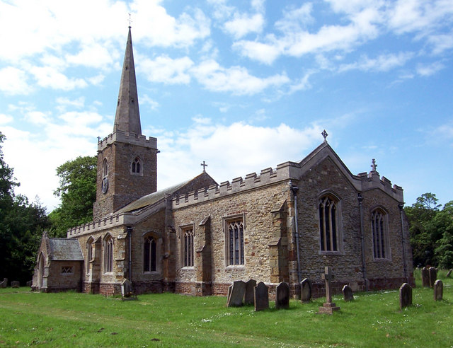
Sixhills
Sixhills is a village in the West Lindsey district of Lincolnshire, England, about 3 miles (4.8 km) south-east from Market Rasen. It lies just south of...
Hainton
Hainton is a village and civil parish in the East Lindsey district of Lincolnshire, England. It is situated on the A157 road, 10 miles (16 km) west from...

North Willingham
North Willingham is a village and civil parish in the West Lindsey district of Lincolnshire, England. The population of the civil parish (including Sixhills...
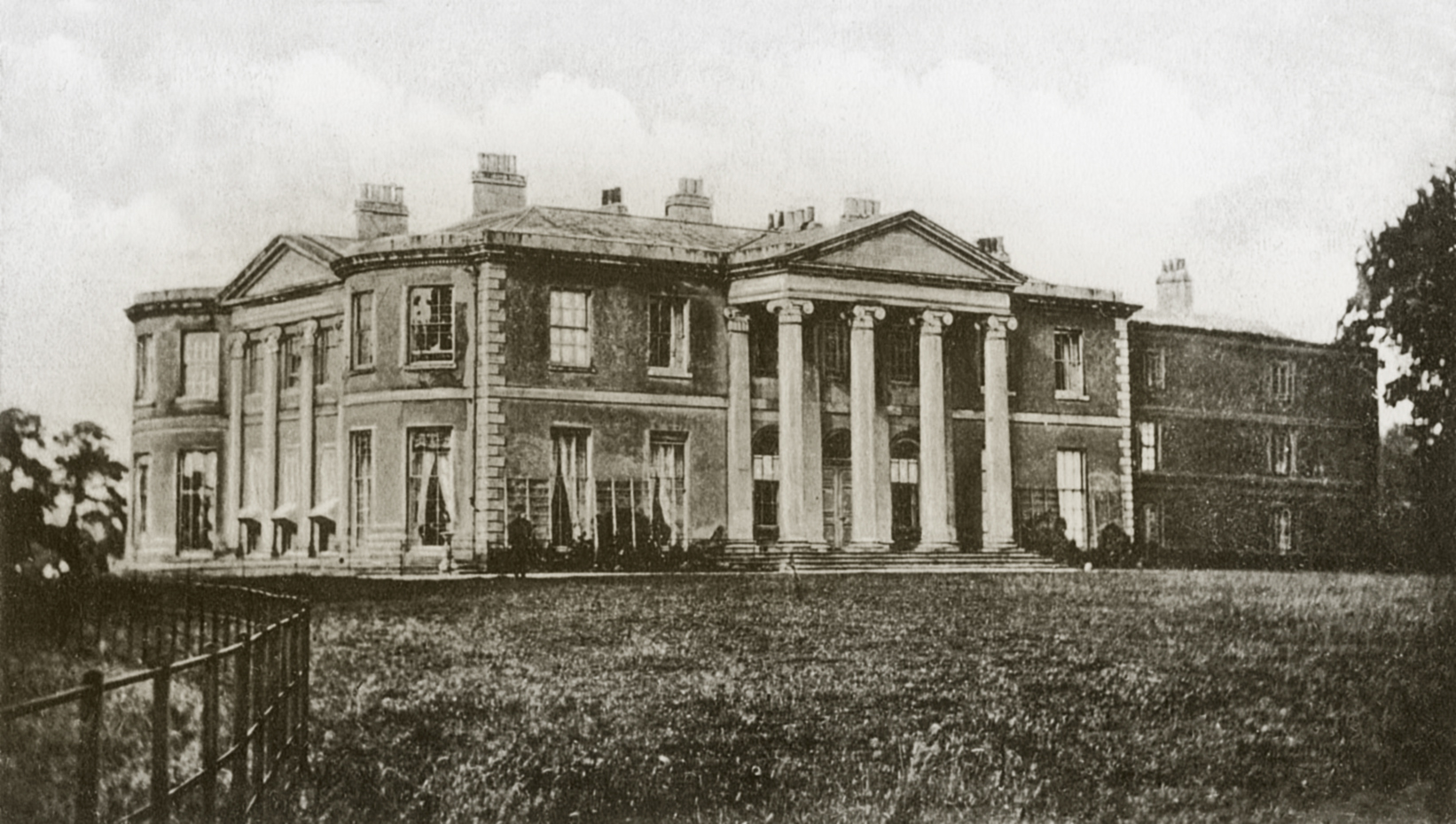
Willingham House
Willingham House was a country house in North Willingham (near Market Rasen), Lincolnshire, England. It was built around 1790 for Ayscoghe Boucherett...

West Torrington
West Torrington is a small hamlet in the East Lindsey district of Lincolnshire, England. It is situated on the edge of Bleasby Moor and 3 miles (4.8 km...

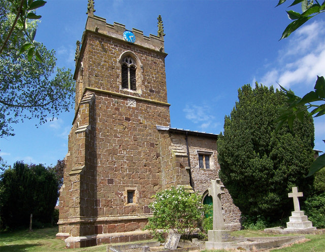
East Barkwith
East Barkwith is a village and civil parish in the East Lindsey district of Lincolnshire, England. It is situated on the A157, and approximately 13 miles...
South Willingham
South Willingham is a village and civil parish in the East Lindsey district of Lincolnshire, England, and partly within the Lincolnshire Wolds Area of...
Nearby Amenities
Located within 500m of 53.353201,-0.26296872Have you been to Croppersgorse Plantation?
Leave your review of Croppersgorse Plantation below (or comments, questions and feedback).