Long Ash Plantation
Wood, Forest in Lincolnshire North Kesteven
England
Long Ash Plantation
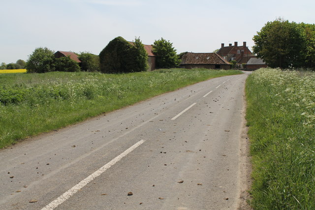
Long Ash Plantation is a vast wooded area located in Lincolnshire, England. Spread over several acres, this enchanting forest is a haven for nature lovers and outdoor enthusiasts alike.
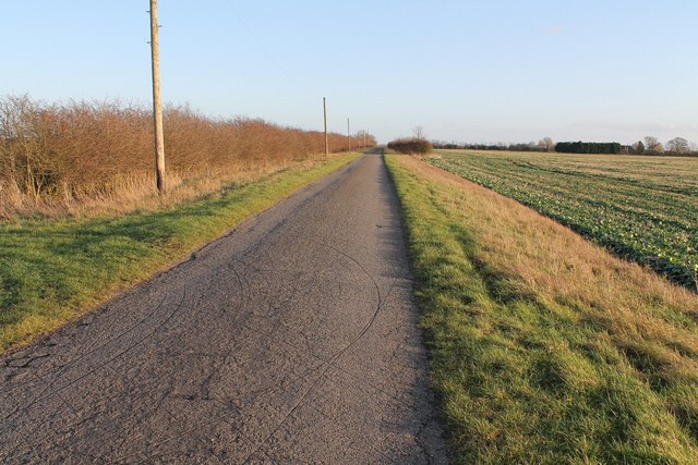
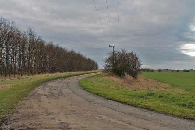
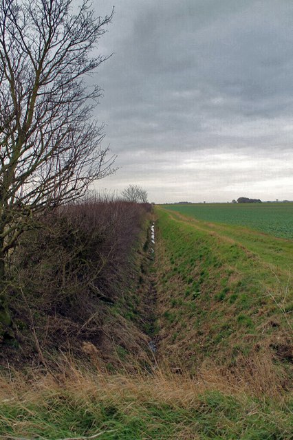
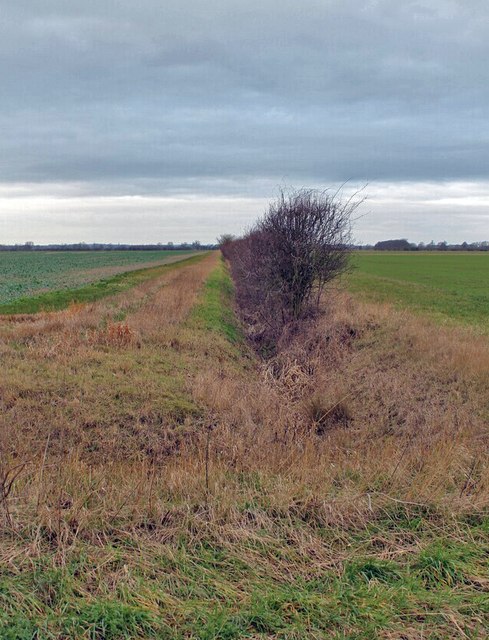
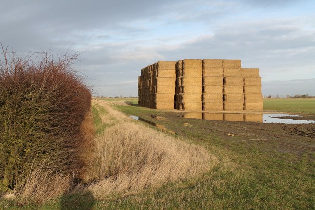
The plantation is characterized by its extensive network of towering ash trees, which give it its name. These trees provide ample shade and create a serene atmosphere throughout the area. The forest floor is covered in a thick carpet of moss, ferns, and wildflowers, creating a picturesque scene that changes with the seasons.
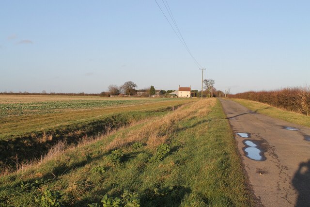
Long Ash Plantation is home to a diverse array of wildlife. Visitors may catch a glimpse of deer, foxes, and squirrels as they explore the forest trails. Birdwatchers will delight in spotting various species, including woodpeckers, owls, and songbirds. The plantation also boasts a small lake, attracting waterfowl and providing a tranquil spot for visitors to relax and observe nature.
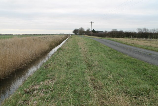
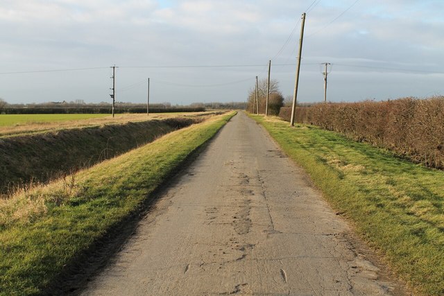
The plantation offers a range of recreational activities for visitors to enjoy. Nature enthusiasts can embark on scenic walks and hikes along the well-maintained trails, immersing themselves in the beauty of the surroundings. There are also designated picnic areas where families and friends can gather for a leisurely outdoor meal.
Long Ash Plantation is easily accessible, with ample parking facilities and well-marked entrances. The plantation is open to the public throughout the year, allowing visitors to experience its natural wonders in every season. Whether one seeks a peaceful retreat, wildlife encounters, or outdoor adventure, Long Ash Plantation offers an idyllic setting that captivates all who venture into its wooded depths.
If you have any feedback on the listing, please let us know in the comments section below.
Long Ash Plantation Images
Images are sourced within 2km of 52.911538/-0.28363657 or Grid Reference TF1536. Thanks to Geograph Open Source API. All images are credited.


Long Ash Plantation is located at Grid Ref: TF1536 (Lat: 52.911538, Lng: -0.28363657)
Administrative County: Lincolnshire
District: North Kesteven
Police Authority: Lincolnshire
What 3 Words
///slack.listings.slider. Near Billingborough, Lincolnshire
Nearby Locations
Related Wikis

Bridgend Priory
Bridgend Priory was a monastic house in Horbling, Lincolnshire, England. The priory was founded around 1199 by Godwin the Rich of Lincoln, a benefactor...

Swaton
Swaton is a village and civil parish in the North Kesteven district of Lincolnshire, England. It is situated on the B1394 road, less than 0.5 miles (0...

Horbling
Horbling is a village and civil parish in the South Kesteven district of Lincolnshire, England. It lies on the B1177, 7 miles (11 km) south-east of Sleaford...

St Andrew's Church, Billingborough
St Andrew's Church is a Grade I listed Anglican parish church dedicated to Andrew the Apostle, in Billingborough, Lincolnshire, England. The church is...
Billingborough
Billingborough is a village and civil parish in the South Kesteven district of Lincolnshire, England. It is situated approximately 10 miles (16 km) north...

Billingborough and Horbling railway station
Billingborough and Horbling railway station was a station serving the villages of Billingborough, Horbling and Threekingham, Lincolnshire on the Great...

Donington Road railway station
Donington Road railway station was a station in Lincolnshire on the line between Spalding and Sleaford. == References == == External links == Donington...

Sempringham
Sempringham is a hamlet in the South Kesteven district of Lincolnshire, England. It is situated 2 miles (3.2 km) south from the A52 road, 12 miles (19...
Nearby Amenities
Located within 500m of 52.911538,-0.28363657Have you been to Long Ash Plantation?
Leave your review of Long Ash Plantation below (or comments, questions and feedback).