Square Copse
Wood, Forest in Surrey Mole Valley
England
Square Copse
Square Copse is a picturesque woodland area located in Surrey, England. Nestled in the heart of the county, it covers an area of approximately 50 acres and is known for its natural beauty and tranquil surroundings. The copse is primarily composed of a mix of deciduous and coniferous trees, including oak, beech, pine, and birch, creating a diverse and vibrant ecosystem.
The woodland floor is covered with a thick carpet of moss, ferns, and wildflowers, adding to its enchanting appeal. It is home to a variety of wildlife, including deer, rabbits, squirrels, and a wide range of bird species, making it a popular spot for nature enthusiasts and birdwatchers.
Square Copse offers several walking trails, allowing visitors to explore its scenic beauty at their own pace. The trails wind through dense foliage, offering glimpses of babbling brooks and small ponds along the way. The copse is also home to a few picnic areas, providing a perfect spot for visitors to relax and enjoy the peaceful atmosphere.
In addition to its natural charm, Square Copse holds historical significance as well. It is believed to have been a hunting ground during medieval times and was later used as a timber source. Today, it is managed by the local forestry commission to preserve its ecological importance and provide a recreational space for the community.
Overall, Square Copse is a haven for nature lovers, offering a serene escape from the hustle and bustle of everyday life. With its diverse flora and fauna, scenic trails, and rich history, it continues to enchant visitors and locals alike with its timeless beauty.
If you have any feedback on the listing, please let us know in the comments section below.
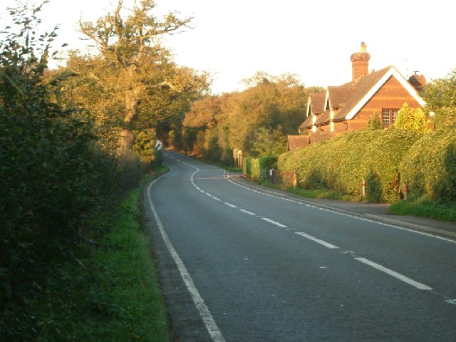
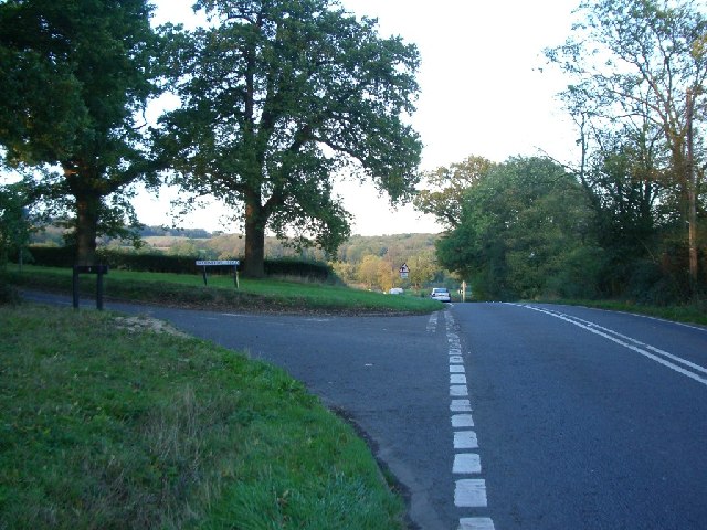
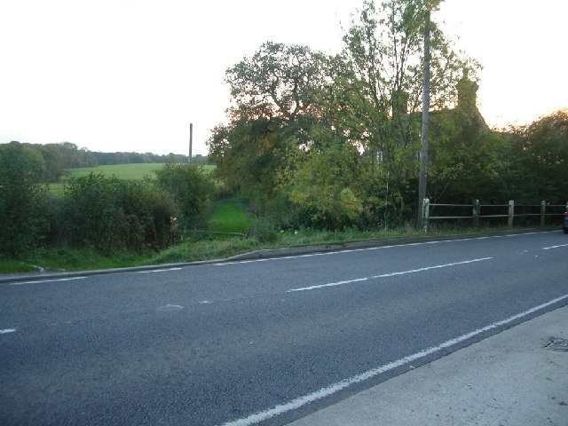
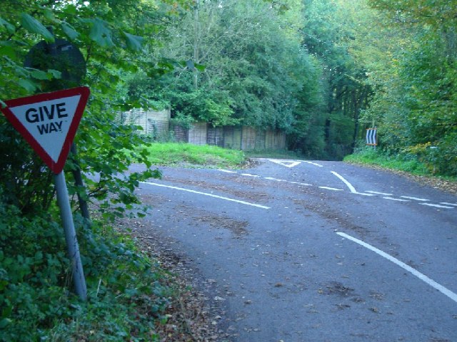
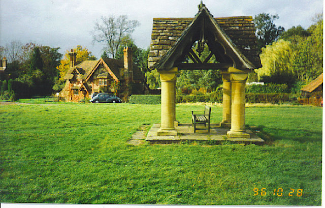
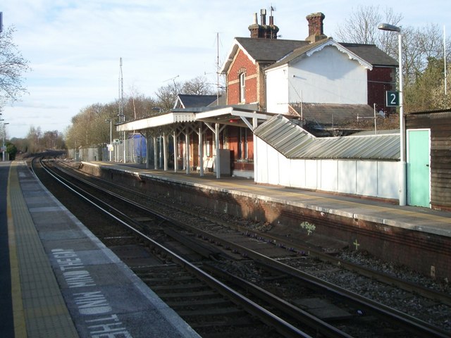
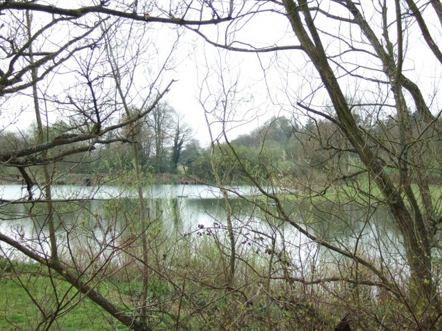
Square Copse Images
Images are sourced within 2km of 51.15735/-0.34958926 or Grid Reference TQ1541. Thanks to Geograph Open Source API. All images are credited.


Square Copse is located at Grid Ref: TQ1541 (Lat: 51.15735, Lng: -0.34958926)
Administrative County: Surrey
District: Mole Valley
Police Authority: Surrey
What 3 Words
///beaten.solder.cubs. Near Capel, Surrey
Nearby Locations
Related Wikis

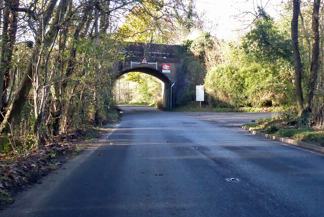
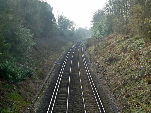
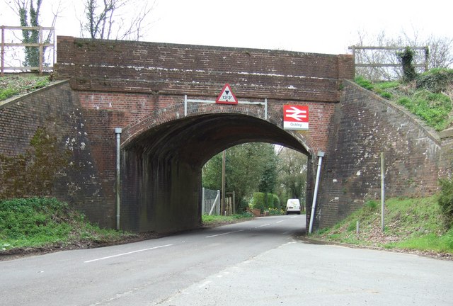
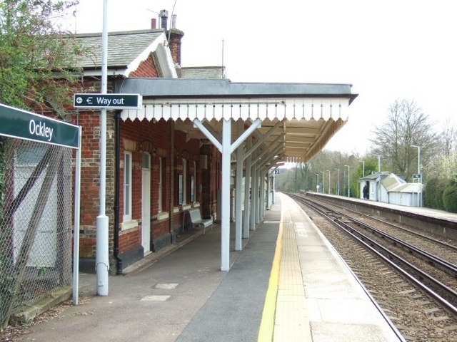
Ockley railway station
Ockley railway station serves the villages of Ockley and Capel in Surrey, England and is 1.4 miles (2.3 km) east of Ockley village and 0.5 miles (0.8 km...

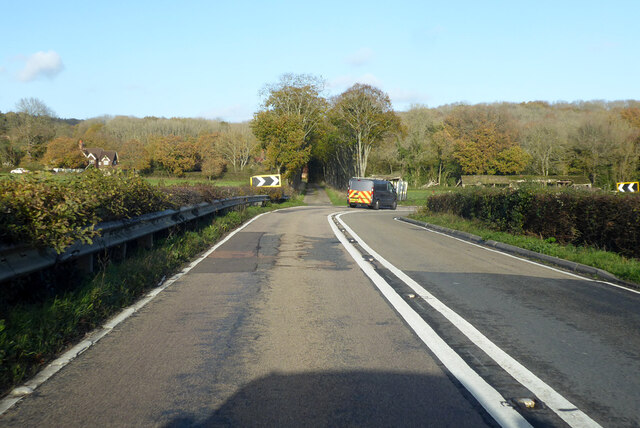
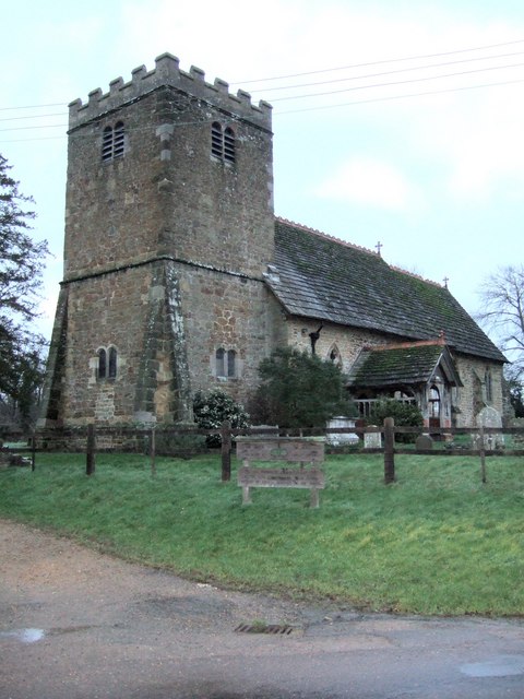
Ockley
Ockley is a rural village in Surrey. It lies astride the A29, the modern road using the alignment of Stane Street (Chichester). The A29 diverges from the...

Broome Hall
Broome Hall is a Grade II-listed country house with grounds including cottages and outhouses on the wooded, upper southern slopes of the Greensand Ridge...

Greensand Ridge
The Greensand Ridge, also known as the Wealden Greensand, is an extensive, prominent, often wooded, mixed greensand/sandstone escarpment in south-east...
Nearby Amenities
Located within 500m of 51.15735,-0.34958926Have you been to Square Copse?
Leave your review of Square Copse below (or comments, questions and feedback).