Grinder's Wood
Wood, Forest in Sussex Horsham
England
Grinder's Wood

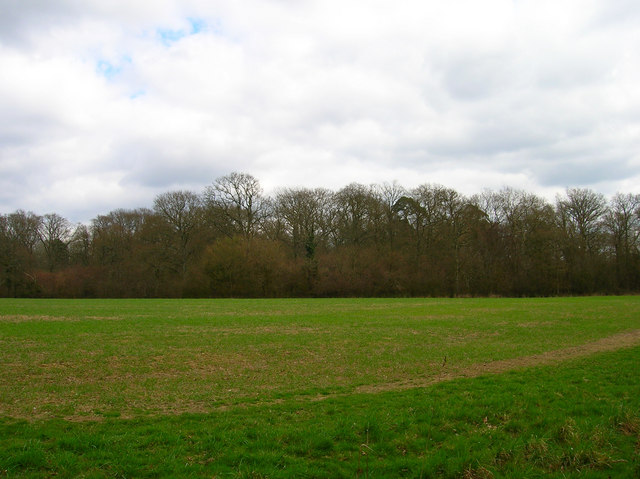
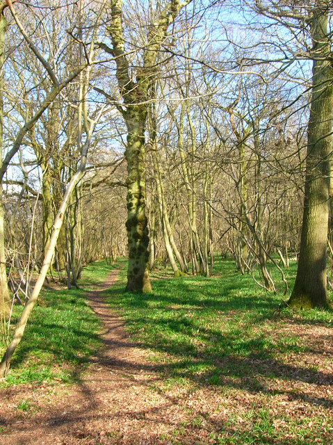
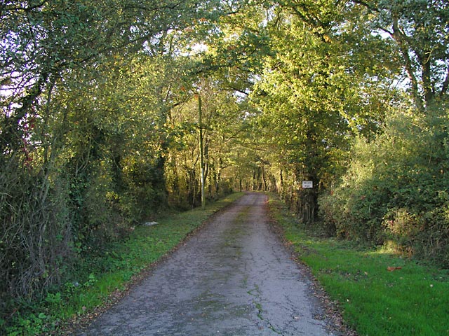
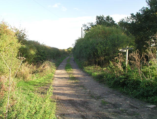
Grinder's Wood is a picturesque forest located in the county of Sussex, England. Spread across a vast area, this woodland is known for its natural beauty, diverse flora and fauna, and rich history.
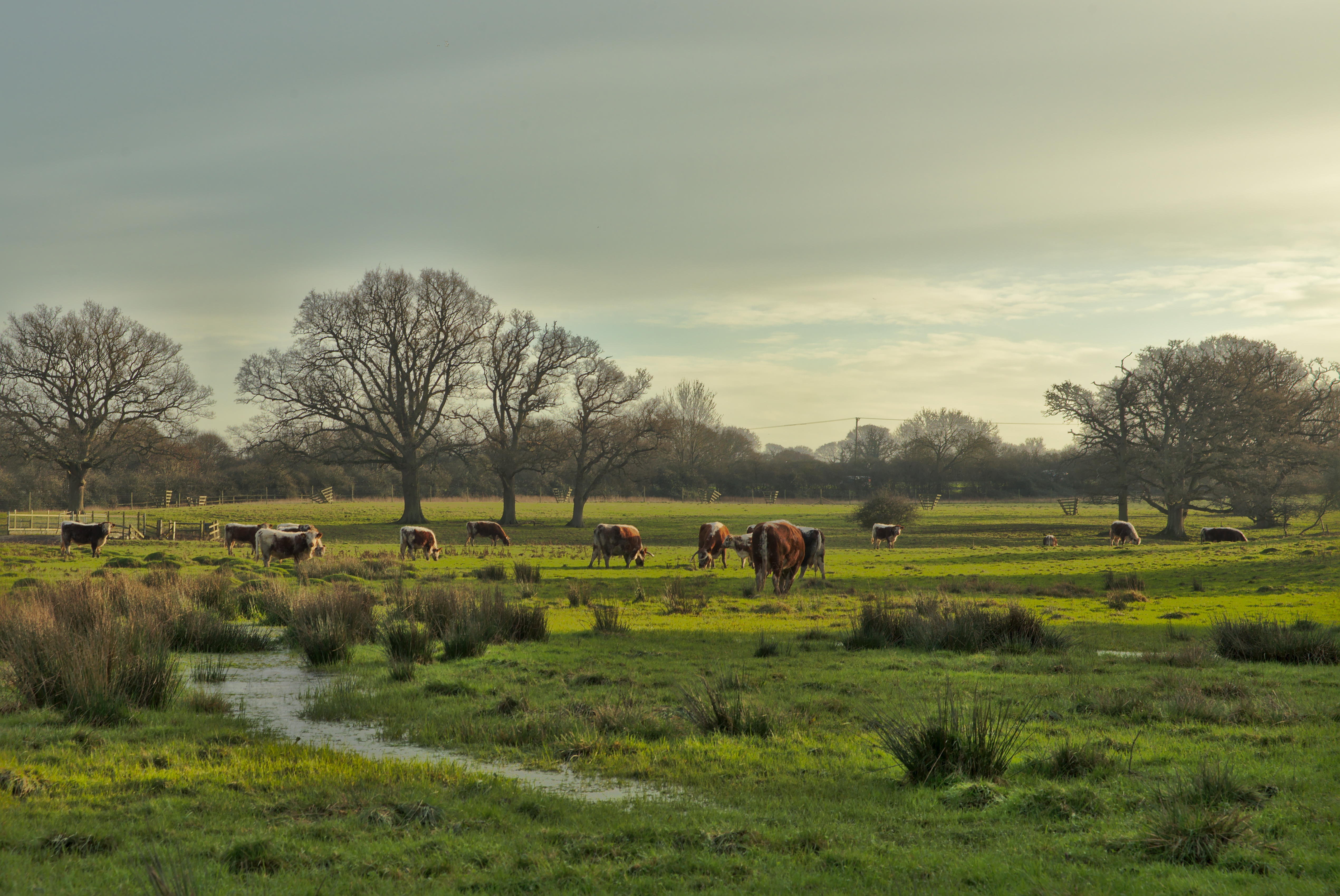
Covering a mix of deciduous and coniferous trees, Grinder's Wood offers a diverse range of habitats for various wildlife species. The forest is home to numerous bird species, including woodpeckers, owls, and thrushes, making it a haven for birdwatchers. The forest floor is adorned with an array of wildflowers, ferns, and mosses, creating a vibrant and enchanting atmosphere.
The history of Grinder's Wood dates back centuries, with evidence of human activity found in the form of ancient burial mounds and remnants of Iron Age settlements. The woodland has also been a source of timber for centuries, with evidence of charcoal production and timber milling in the area.
The forest is accessible to visitors through well-maintained walking trails, allowing nature enthusiasts and hikers to explore its serene surroundings. Along the trails, visitors can spot a variety of wildlife, such as deer, foxes, and squirrels. The forest's tranquil atmosphere offers a perfect escape from the hustle and bustle of city life.
Grinder's Wood is a popular destination for outdoor activities, including picnicking, camping, and nature photography. With its natural beauty and rich biodiversity, it provides a rewarding experience for anyone seeking a connection with nature. Whether exploring the woodland trails or simply enjoying the peaceful ambiance, Grinder's Wood is a hidden gem in the heart of Sussex.
If you have any feedback on the listing, please let us know in the comments section below.
Grinder's Wood Images
Images are sourced within 2km of 50.953613/-0.35707275 or Grid Reference TQ1518. Thanks to Geograph Open Source API. All images are credited.


Grinder's Wood is located at Grid Ref: TQ1518 (Lat: 50.953613, Lng: -0.35707275)
Administrative County: West Sussex
District: Horsham
Police Authority: Sussex
What 3 Words
///corded.dialects.salmon. Near Ashington, West Sussex
Nearby Locations
Related Wikis

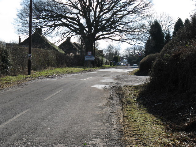
Dial Post
Dial Post is a village in the Horsham District of West Sussex, England. The civil parish, where the lowest level political meetings are held, is West Grinstead...

Knepp Castle
The medieval Knepp Castle (sometimes referred to as 'Old Knepp Castle', to distinguish it from the nearby 19th-century mansion) is to the west of the village...
Knepp Wildland
Knepp Wildland is the first major lowland rewilding project in England. It comprises 1,400 hectares (3,500 acres; 5.4 square miles) of former arable and...

St George's Church, West Grinstead
St George's Church is an Anglican church in West Grinstead, West Sussex, England. It is in the Diocese of Chichester, occupying a rural position in the...

West Grinstead
West Grinstead is a village and civil parish in the Horsham District of West Sussex, England. It lies just off the B2135 road four miles (6.3 km) northwest...

Brightling Park
Brightling Park (previously known as Rose Hill) is a country estate which lies in the parishes of Brightling and Dallington in the Rother district of East...

St James's Church, Ashurst
St James's Church is a Church of England parish church in Ashurst, West Sussex. The church is a grade I listed building and it dates from the early 12th...

Ashington, West Sussex
Ashington is a village and civil parish in the Horsham District of West Sussex, England. It lies on the A24 road 3 miles (4.8 km) north-east of Storrington...
Nearby Amenities
Located within 500m of 50.953613,-0.35707275Have you been to Grinder's Wood?
Leave your review of Grinder's Wood below (or comments, questions and feedback).